Hasbrouck Heights (pronounced HAZ-brook /ˈhæz.bɹʊk/) is a borough in Bergen County, in the U.S. state of New Jersey. As of the 2010 United States Census, the borough’s population was 11,842, reflecting an increase of 180 (+1.5%) from the 11,662 counted in the 2000 Census, which had in turn increased by 174 (+1.5%) from the 11,488 counted in the 1990 Census. An inner-ring suburb of New York City, Hasbrouck Heights is located approximately 10 miles (16 km) northwest of Midtown Manhattan and 8 miles (13 km) west of Upper Manhattan.
The borough was listed as the third-safest place in New Jersey as well as the eighth-safest municipality in the nation according to a 2022 crime statistic compilation from Safewise.com.
| Name: | Hasbrouck Heights borough |
|---|---|
| LSAD Code: | 21 |
| LSAD Description: | borough (suffix) |
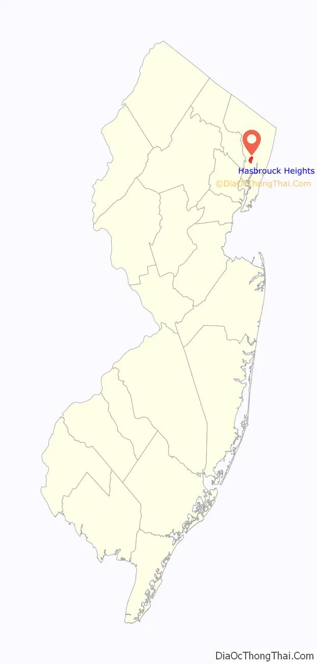
| State: | New Jersey |
| County: | Bergen County |
| Incorporated: | July 31, 1894 |
| Elevation: | 112 ft (34 m) |
| Total Area: | 1.53 sq mi (3.95 km²) |
| Land Area: | 1.52 sq mi (3.95 km²) |
| Water Area: | 0.00 sq mi (0.01 km²) 0.20% |
| Total Population: | 12,125 |
| Population Density: | 7,961.3/sq mi (3,073.9/km²) |
| ZIP code: | 07604 |
| Area code: | 201 exchanges: 288, 393, 462, 727 |
| FIPS code: | 3430420 |
| GNISfeature ID: | 0885247 |
| Website: | hasbrouck-heightsnj.org |
Online Interactive Map
Click on ![]() to view map in "full screen" mode.
to view map in "full screen" mode.
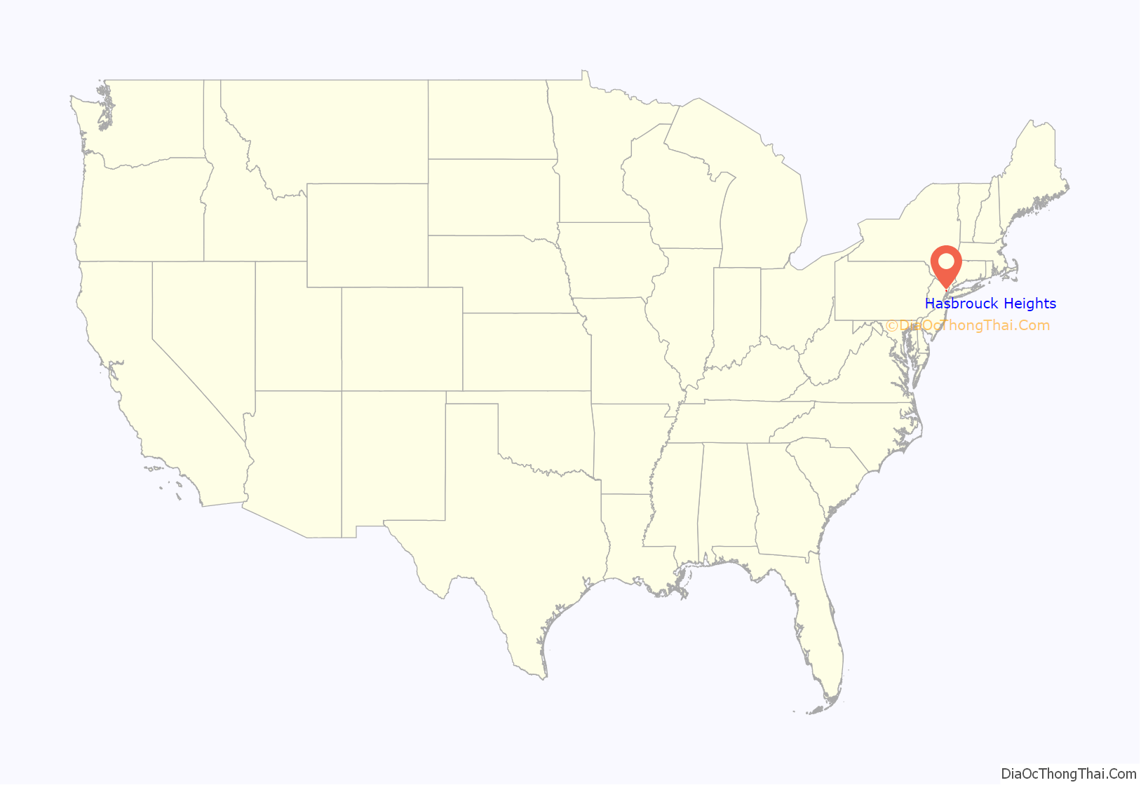
Hasbrouck Heights location map. Where is Hasbrouck Heights borough?
History
The area that would become the borough had been known as Corona from the mid-1800s and grew up around the two local railroad stations. The name “Hasbrouck” was chosen in 1889 to honor Jacob Dillon Hasbrouck (1842–1918), general manager of the New Jersey and New York Railroad. In the face of local opposition, the name change was promoted as improving the community’s public perception and avoiding confusion with the Corona, Queens neighborhood, while “Heights” was added to avoid confusion with a similarly named community in upstate New York.
Hasbrouck Heights was formed by an act of the New Jersey Legislature on August 2, 1894, based on the passage of a referendum on July 31, 1894, and was created from portions of Lodi Township at the height of the “Boroughitis” phenomenon then sweeping through Bergen County. A part of the borough was annexed to Lodi in 1901.
Hasbrouck Heights Road Map
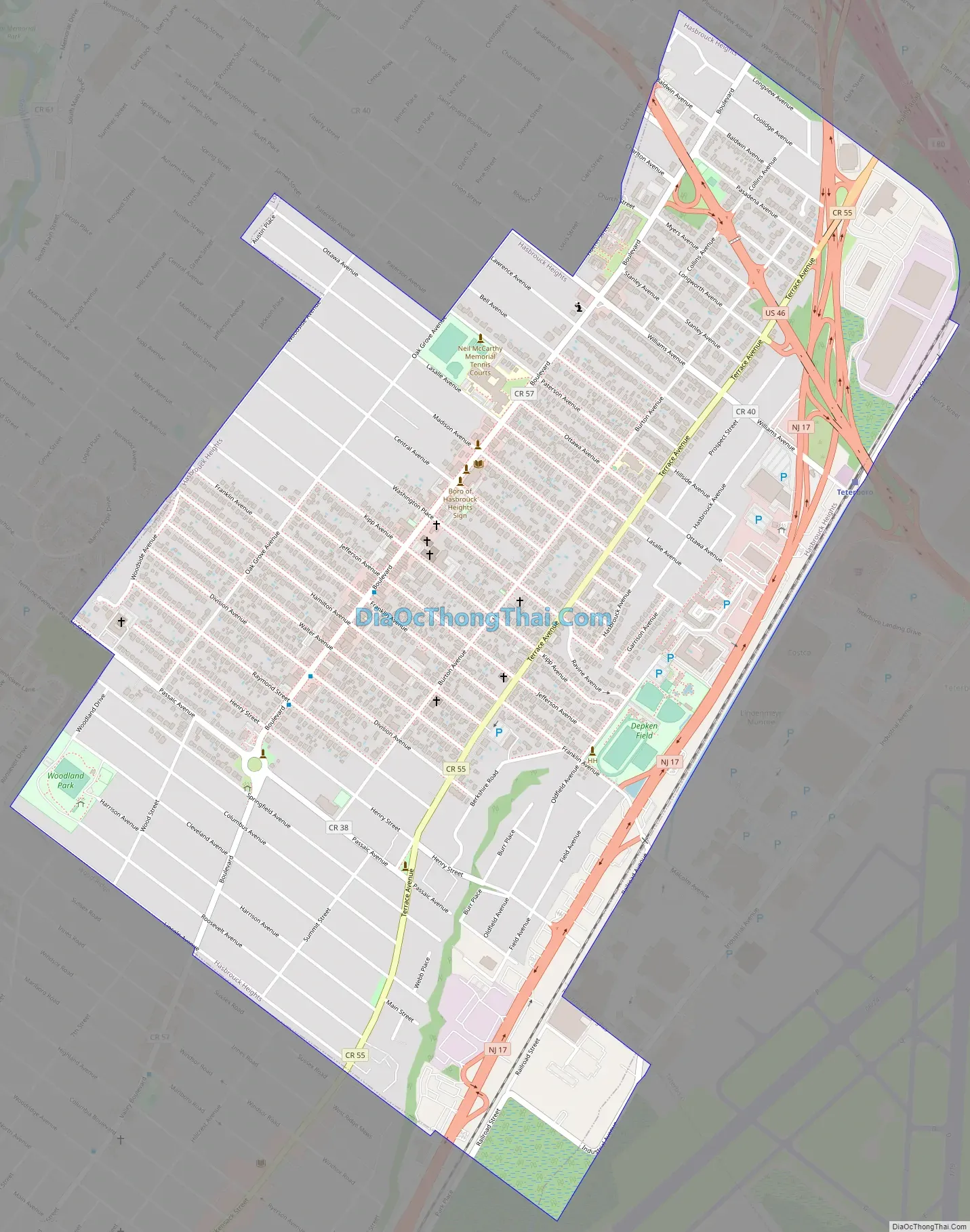
Hasbrouck Heights city Satellite Map

Geography
According to the United States Census Bureau, the borough had a total area of 1.53 square miles (3.95 km), including 1.52 square miles (3.95 km) of land and <0.01 square miles (0.01 km) of water (0.20%).
The borough borders Hackensack, Lodi, Moonachie, Teterboro and Wood-Ridge.
See also
Map of New Jersey State and its subdivision: Map of other states:- Alabama
- Alaska
- Arizona
- Arkansas
- California
- Colorado
- Connecticut
- Delaware
- District of Columbia
- Florida
- Georgia
- Hawaii
- Idaho
- Illinois
- Indiana
- Iowa
- Kansas
- Kentucky
- Louisiana
- Maine
- Maryland
- Massachusetts
- Michigan
- Minnesota
- Mississippi
- Missouri
- Montana
- Nebraska
- Nevada
- New Hampshire
- New Jersey
- New Mexico
- New York
- North Carolina
- North Dakota
- Ohio
- Oklahoma
- Oregon
- Pennsylvania
- Rhode Island
- South Carolina
- South Dakota
- Tennessee
- Texas
- Utah
- Vermont
- Virginia
- Washington
- West Virginia
- Wisconsin
- Wyoming


