Wallington is a borough in Bergen County, in the U.S. state of New Jersey. As of the 2020 United States census, the borough’s population was 11,868, an increase of 533 (+4.7%) from the 2010 census count of 11,335, which in turn reflected a decline of 248 (−2.1%) from the 11,583 counted in the 2000 Census, which had in turn increased by 755 (+7.0%) from the 10,828 counted in the 1990 Census.
Wallington was created as a borough on January 2, 1895, based on a referendum held on December 31, 1894, from area taken from Bergen Township and Saddle River Township. The borough was formed during the “Boroughitis” phenomenon then sweeping through New Jersey, in which 26 boroughs were formed in Bergen County alone in 1894, with Wallington the last of the 26 to be formed by an 1894 referendum. Sections of Wallington were ceded to Garfield in 1898. The borough is said to have been named for Walling Van Winkle (1650–1725), who built a home in the future borough.
| Name: | Wallington borough |
|---|---|
| LSAD Code: | 21 |
| LSAD Description: | borough (suffix) |
| State: | New Jersey |
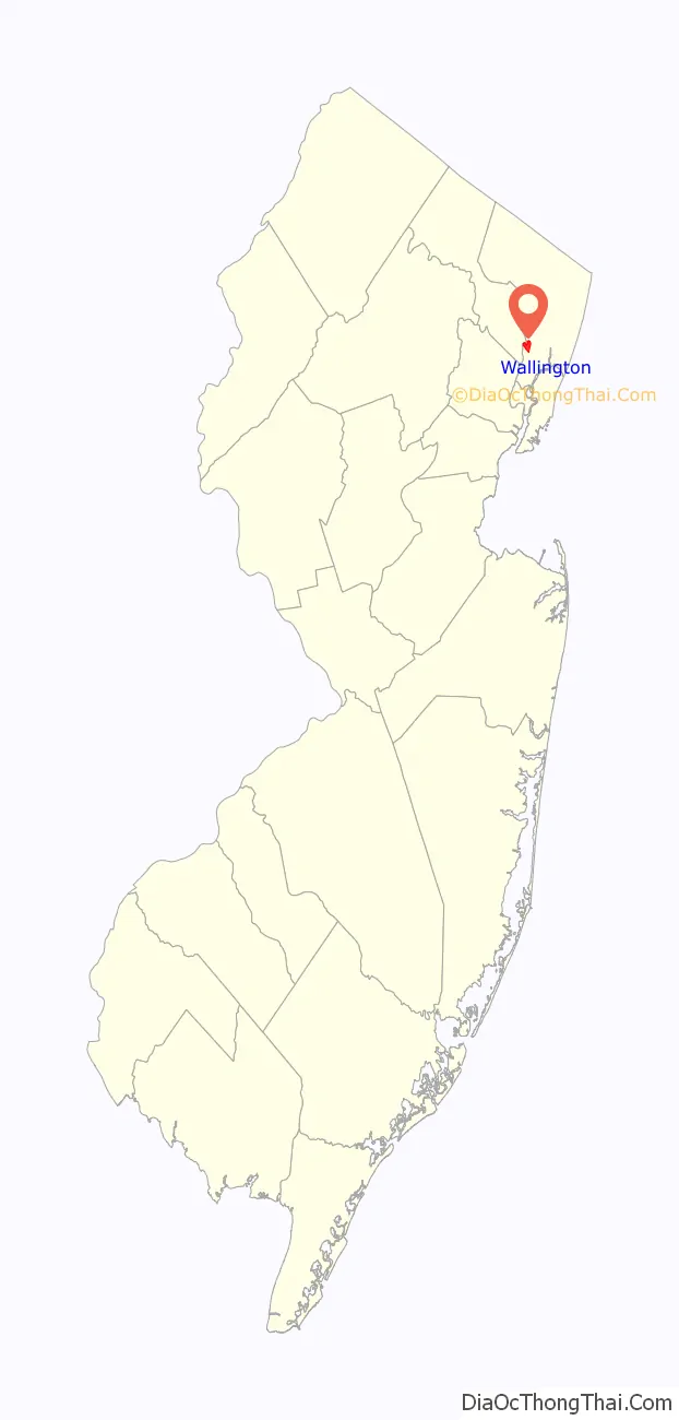
| County: | Bergen County |
| Incorporated: | December 31, 1894 |
| Elevation: | 20 ft (6 m) |
| Total Area: | 1.05 sq mi (2.71 km²) |
| Land Area: | 0.99 sq mi (2.57 km²) |
| Water Area: | 0.05 sq mi (0.14 km²) 5.05% |
| Total Population: | 11,868 |
| Population Density: | 11,939.6/sq mi (4,609.9/km²) |
| ZIP code: | 07057 |
| Area code: | 201 and 973 |
| FIPS code: | 3476490 |
| GNISfeature ID: | 0885430 |
| Website: | www.wallingtonnj.org |
Online Interactive Map
Click on ![]() to view map in "full screen" mode.
to view map in "full screen" mode.
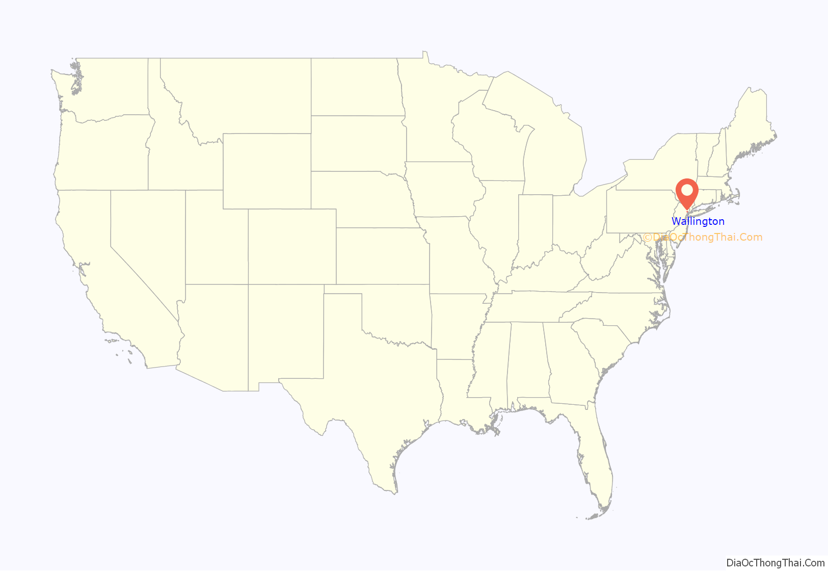
Wallington location map. Where is Wallington borough?
Wallington Road Map

Wallington city Satellite Map

Geography
According to the United States Census Bureau, the borough had a total area of 1.05 square miles (2.71 km), including 0.99 square miles (2.57 km) of land and 0.05 square miles (0.14 km) of water (5.05%).
The borough borders Carlstadt, East Rutherford, Garfield, South Hackensack and Wood-Ridge in Bergen County, and the city of Passaic in Passaic County across the Passaic River.
The borough is located approximately 15 miles (24 km) northwest of Midtown Manhattan.
See also
Map of New Jersey State and its subdivision: Map of other states:- Alabama
- Alaska
- Arizona
- Arkansas
- California
- Colorado
- Connecticut
- Delaware
- District of Columbia
- Florida
- Georgia
- Hawaii
- Idaho
- Illinois
- Indiana
- Iowa
- Kansas
- Kentucky
- Louisiana
- Maine
- Maryland
- Massachusetts
- Michigan
- Minnesota
- Mississippi
- Missouri
- Montana
- Nebraska
- Nevada
- New Hampshire
- New Jersey
- New Mexico
- New York
- North Carolina
- North Dakota
- Ohio
- Oklahoma
- Oregon
- Pennsylvania
- Rhode Island
- South Carolina
- South Dakota
- Tennessee
- Texas
- Utah
- Vermont
- Virginia
- Washington
- West Virginia
- Wisconsin
- Wyoming


