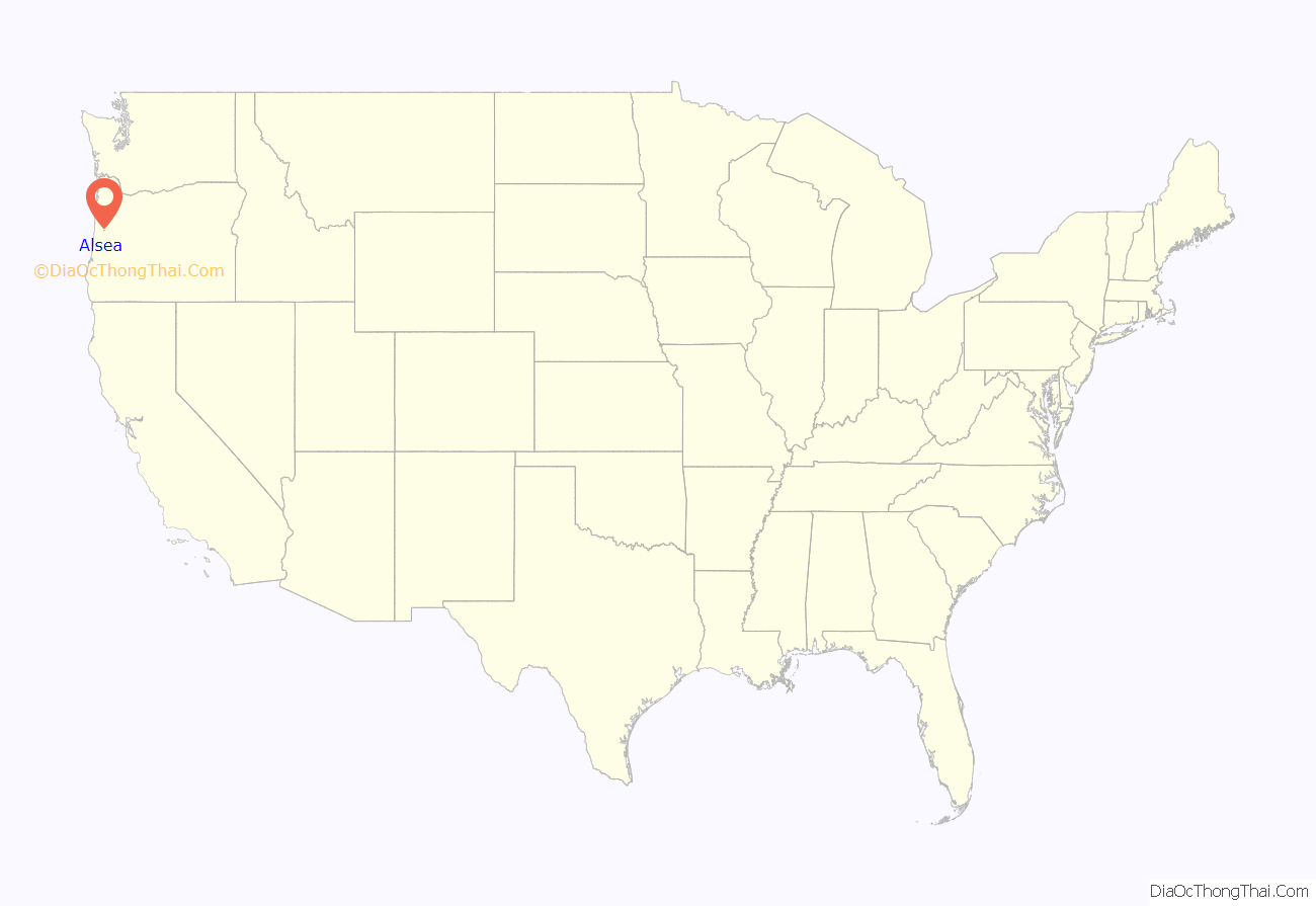
Alsea (/ˈælsi/ AL-see) is an unincorporated community in Benton County, in the U.S. state of Oregon. It is on Oregon Route 34 and the Alsea River. For statistical purposes, the United States Census Bureau has defined Alsea as a census-designated place (CDP). The census definition of the area may not precisely correspond to local understanding of the area with the same name. As of the 2020 Census, the population was 165.
| Name: | Alsea CDP |
|---|---|
| LSAD Code: | 57 |
| LSAD Description: | CDP (suffix) |
| State: | Oregon |
| County: | Benton County |
| Elevation: | 292 ft (89 m) |
| Total Area: | 0.16 sq mi (0.40 km²) |
| Land Area: | 0.16 sq mi (0.40 km²) |
| Water Area: | 0.00 sq mi (0.00 km²) |
| Total Population: | 165 |
| Population Density: | 1,057.69/sq mi (407.95/km²) |
| ZIP code: | 97324 |
| Area code: | 541 |
| FIPS code: | 4101800 |
Online Interactive Map
Click on ![]() to view map in "full screen" mode.
to view map in "full screen" mode.
Alsea location map. Where is Alsea CDP?
History
Alsea was named for the Alsea River, whose name was a corruption of “Alsi” (also spelled “Ulseah” and “Alsiias”) the name of a Native American tribe, now known as the Alsea, that lived at the mouth of the river. The Alsea area was settled by Europeans early as 1855, when the name “Alseya Settlement” appeared on the Surveyor general’s map. Alsea post office was established in 1871.
In the early 1850s settlers moved from the Willamette Valley into the Alsea area to take up donation land claims. While logging was once the primary industry in Alsea, it is now known as a place for fishing on the Alsea River, particularly for steelhead, and a favorite stopping point on a well-traveled cycling loop.
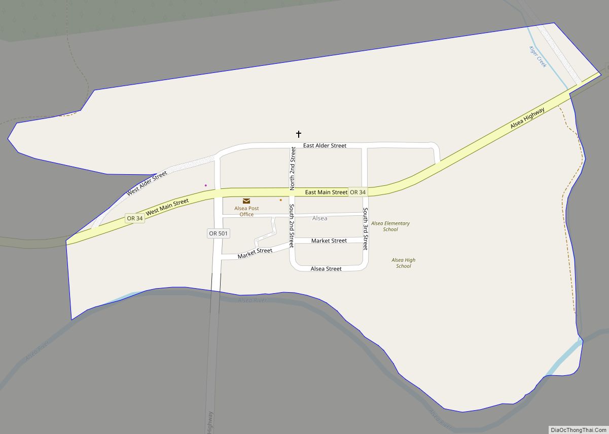
Alsea Road Map
Alsea city Satellite Map
See also
Map of Oregon State and its subdivision: Map of other states:- Alabama
- Alaska
- Arizona
- Arkansas
- California
- Colorado
- Connecticut
- Delaware
- District of Columbia
- Florida
- Georgia
- Hawaii
- Idaho
- Illinois
- Indiana
- Iowa
- Kansas
- Kentucky
- Louisiana
- Maine
- Maryland
- Massachusetts
- Michigan
- Minnesota
- Mississippi
- Missouri
- Montana
- Nebraska
- Nevada
- New Hampshire
- New Jersey
- New Mexico
- New York
- North Carolina
- North Dakota
- Ohio
- Oklahoma
- Oregon
- Pennsylvania
- Rhode Island
- South Carolina
- South Dakota
- Tennessee
- Texas
- Utah
- Vermont
- Virginia
- Washington
- West Virginia
- Wisconsin
- Wyoming
