Condon is a city in, and the seat of, Gilliam County, in the U.S. state of Oregon. The population was 682 at the 2010 census. The city, with an historic main street along Oregon Route 19, is a farming and ranching community. The John Day River/Cottonwood Canyon State Park, the ghost town of Lonerock and the John Day Fossil Beds are all a short drive from Historic Condon.
| Name: | Condon city |
|---|---|
| LSAD Code: | 25 |
| LSAD Description: | city (suffix) |
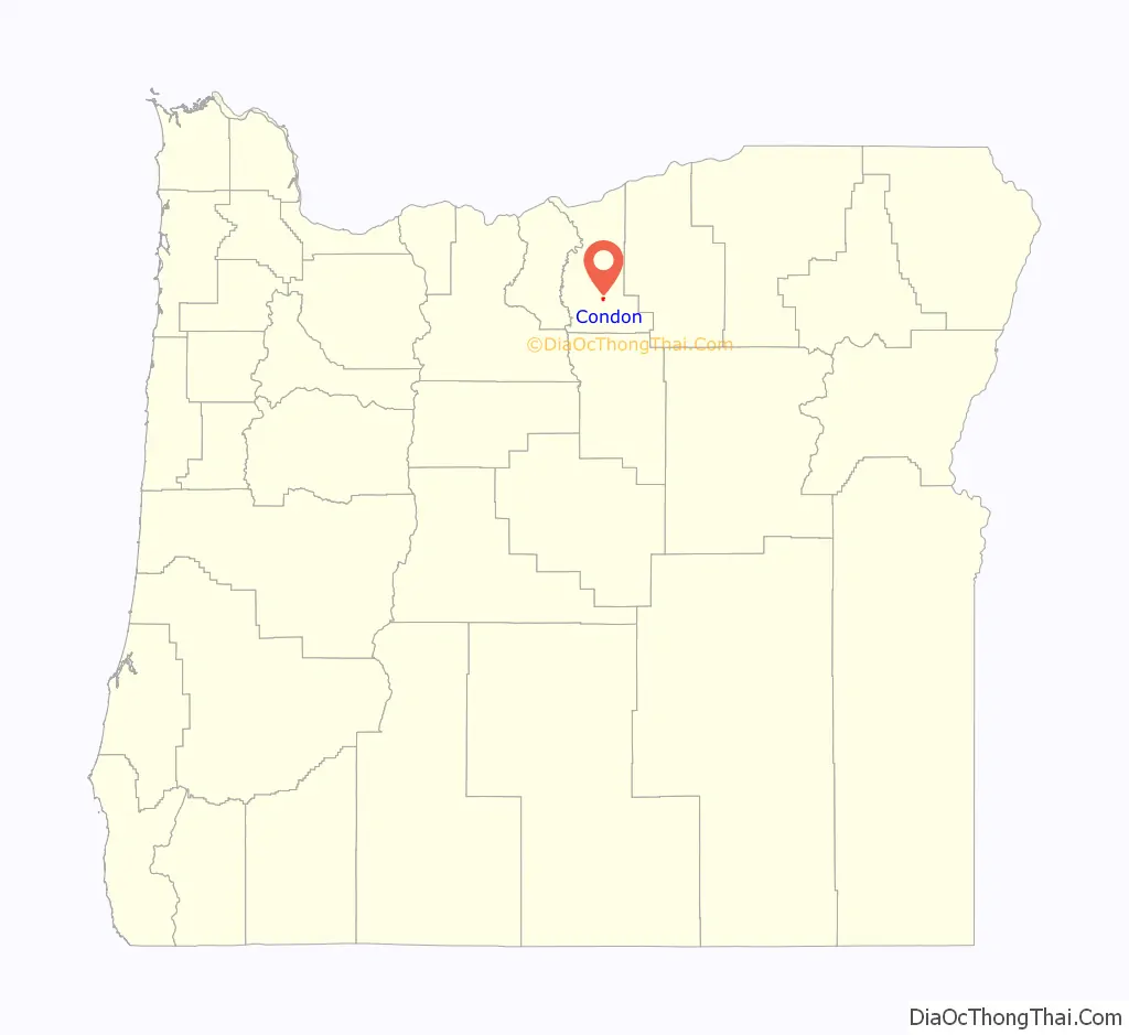
| State: | Oregon |
| County: | Gilliam County |
| Incorporated: | 1893 |
| Elevation: | 2,831 ft (863 m) |
| Total Area: | 0.81 sq mi (2.11 km²) |
| Land Area: | 0.81 sq mi (2.11 km²) |
| Water Area: | 0.00 sq mi (0.00 km²) |
| Total Population: | 711 |
| Population Density: | 872.39/sq mi (336.94/km²) |
| ZIP code: | 97823 |
| Area code: | 458 and 541 |
| FIPS code: | 4115000 |
| GNISfeature ID: | 1119195 |
| Website: | www.cityofcondon.com |
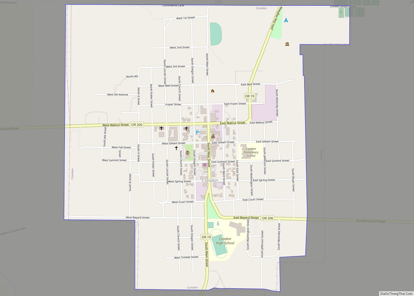
Online Interactive Map
Click on ![]() to view map in "full screen" mode.
to view map in "full screen" mode.
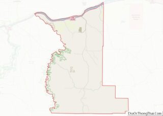
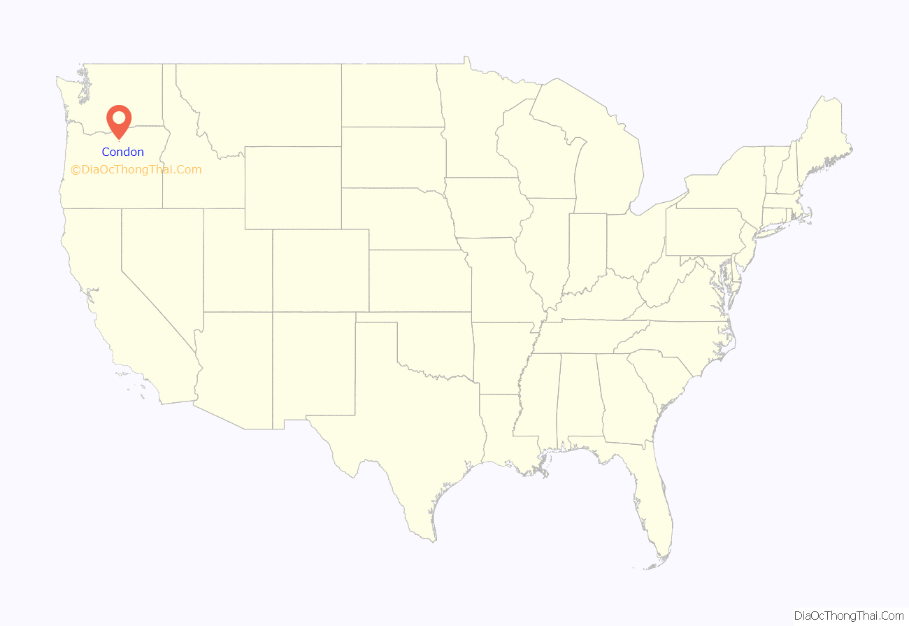
Condon location map. Where is Condon city?
History
Condon was the southern terminus of the Condon Branch of the Union Pacific Railroad. In 1883, a local homesteader named Potter platted the land around a spring on his property. The spring, which emerged from a bed of black basalt, was known to pioneer ranchers in the area as Summit Springs. Experiencing financial difficulty, Potter surrendered the site to the legal firm Condon and Cornish from Arlington. Harvey C. Condon, a member of the firm, was a nephew of Oregon geologist Thomas Condon. Condon and Cornish sold lots in the townsite and in 1884, resident David B. Trimble applied for a post office and became its first postmaster. He named the post office Condon after Harvey C. Condon.
Condon Air Force Station was a radar station near the city that operated from 1951 to 1970.
Condon Commercial Historic District
In 1998, Condon’s historic downtown core along Main Street was listed on the National Register of Historic Places as the Condon Commercial Historic District. The City of Condon has collaborated with business interests to restore buildings on Main Street. Most of the buildings on the Historic Main Street have been restored, new businesses have opened, and the Gilliam County Library moved to the remodeled Hollen and Sons Hardware Store, the City Park has been re-designed into a beautiful event space.
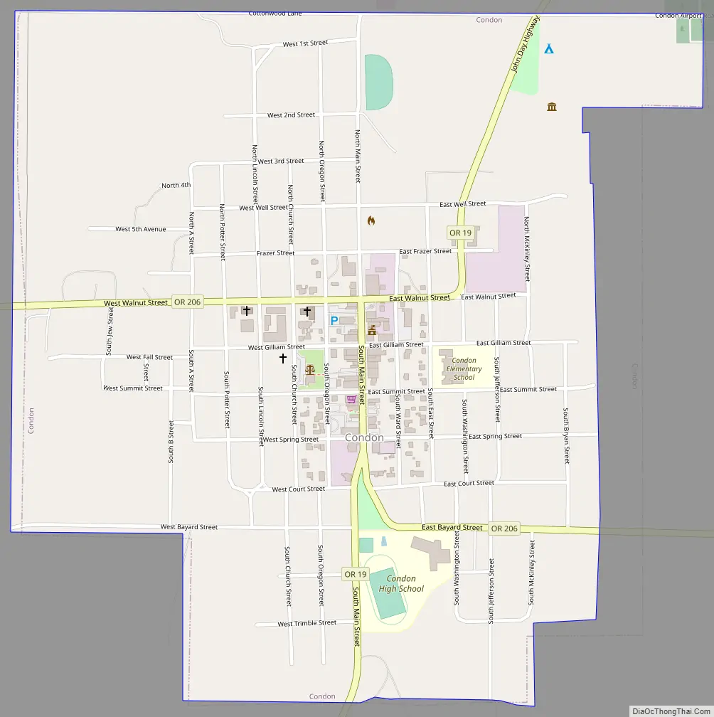
Condon Road Map
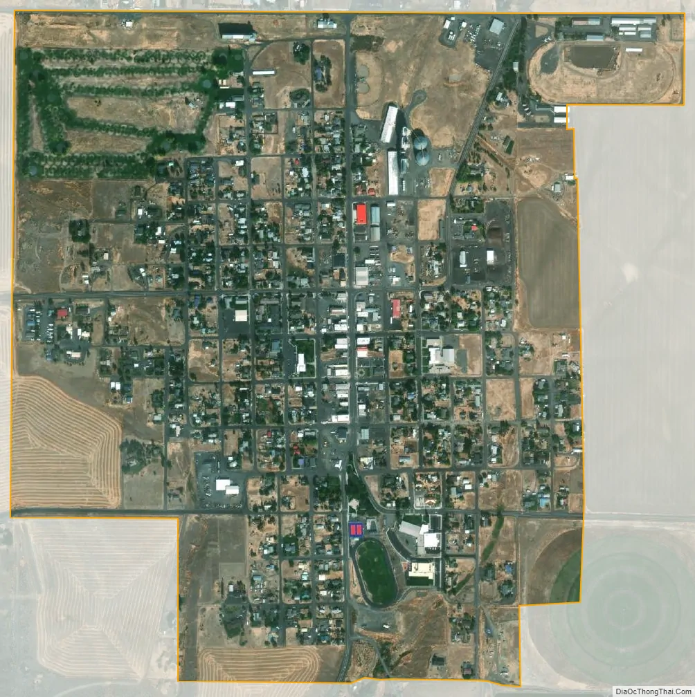
Condon city Satellite Map
Geography
Condon, in Gilliam County in north-central Oregon, is at the intersection of Oregon Route 19, running north–south through the city, and Oregon Route 206, which runs east–west at Condon. By highway, the city is 38 miles (61 km) south of Interstate 84 at Arlington, 69 miles (111 km) southeast of The Dalles, and 150 miles (240 km) east of Portland.
The city is 2,831 feet (863 m) above sea level. According to the United States Census Bureau, the city has a total area of 0.83 square miles (2.15 km), all of it land.
Condon has a borderline Mediterranean (Köppen Csb)/Continental Mediterranean (Dsb) climate, characterized by dry summers with cool mornings giving way to very warm afternoons, and cold though not usually severe winters. In some cases, very cold continental air from Canada will be driven into the Columbia Gorge, producing an average of two mornings at or below 0 °F or −17.8 °C each winter. The coldest month has been January 1930 with 22 afternoons in succession not topping freezing, an average temperature of 12.7 °F or −10.7 °C and an average minimum of 4.9 °F or −15.1 °C. On the other hand, sixteen afternoons during the three-month winter typically top 50 °F or 10 °C.
Most of the limited precipitation falls during this period as a mixture of snow and rain. When maritime air interacts with a cold outbreak substantial snow can occur, with maximum monthly totals of 44.6 inches (1.13 m) in December 2008 and 43.1 inches (1.09 m) in January 1950; however, only a trace of snow fell between July 1963 and June 1964. Very powerful Pacific Northwest rainstorms – although depleted of most moisture by the Cascades – provide the heaviest precipitation: the wettest month has been December 1981 with 5.02 inches (127.5 mm) and the wettest “rain year” from July 1947 to June 1948 with 20.77 inches (527.6 mm). The driest “rain year” was from July 1938 to June 1939 with only 6.77 inches (172.0 mm).
Apart from occasional thunderstorms, the summers are very dry. When hot winds from the interior reach the Pacific Northwest, very hot “heatwave” conditions can occur. During a typical summer, 90 °F or 32.2 °C will be reached on sixteen afternoons, although 100 °F or 37.8 °C is extremely rare, occurring at all only in eight summers between 1981 and 2010 and never more than twice. The hottest afternoon was on July 24, 1928 – during an exception heatwave of seven century afternoons – which reached 111 °F or 43.9 °C.
See also
Map of Oregon State and its subdivision: Map of other states:- Alabama
- Alaska
- Arizona
- Arkansas
- California
- Colorado
- Connecticut
- Delaware
- District of Columbia
- Florida
- Georgia
- Hawaii
- Idaho
- Illinois
- Indiana
- Iowa
- Kansas
- Kentucky
- Louisiana
- Maine
- Maryland
- Massachusetts
- Michigan
- Minnesota
- Mississippi
- Missouri
- Montana
- Nebraska
- Nevada
- New Hampshire
- New Jersey
- New Mexico
- New York
- North Carolina
- North Dakota
- Ohio
- Oklahoma
- Oregon
- Pennsylvania
- Rhode Island
- South Carolina
- South Dakota
- Tennessee
- Texas
- Utah
- Vermont
- Virginia
- Washington
- West Virginia
- Wisconsin
- Wyoming