Bonanza is a town in Klamath County, Oregon, United States, near Klamath Falls. The population was 415 at the 2010 census.
| Name: | Bonanza town |
|---|---|
| LSAD Code: | 43 |
| LSAD Description: | town (suffix) |
| State: | Oregon |
| County: | Klamath County |
| Incorporated: | 1901 |
| Elevation: | 4,127 ft (1,258 m) |
| Total Area: | 0.82 sq mi (2.12 km²) |
| Land Area: | 0.82 sq mi (2.12 km²) |
| Water Area: | 0.00 sq mi (0.00 km²) |
| Total Population: | 404 |
| Population Density: | 492.68/sq mi (190.29/km²) |
| ZIP code: | 97623 |
| Area code: | 541 |
| FIPS code: | 4107300 |
| GNISfeature ID: | 1117918 |
| Website: | townofbonanza.com |
Online Interactive Map
Click on ![]() to view map in "full screen" mode.
to view map in "full screen" mode.
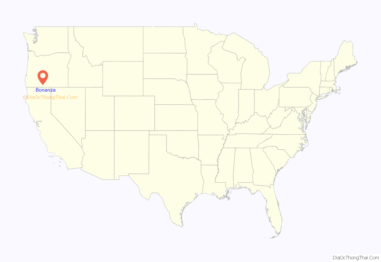
Bonanza location map. Where is Bonanza town?
History
The town, in a farming district, was named after the Spanish word for prosperity (literally smooth sea), apparently because of the good springs found nearby. The Bonanza post office was established in 1875.
J. P. Roberts founded the community in 1876 and opened a store there. Bonanza was formally platted in 1878. By around 1900, it was considered the third most important town in Klamath County, after Klamath Falls and Merrill. Daily mail arrived by stagecoach. The chief products of the region were cattle, horses, grain, hay, fruits, and vegetables.
Bonanza is an agricultural community with large areas of alfalfa, cattle, and dairy farm use. The Lost River runs near downtown where the Bonanza Big Springs are located. Low water levels have caused groundwater contamination through the springs and added to the regional controversies over water use, endangered suckers (fish) and struggling salmon species, and farming.
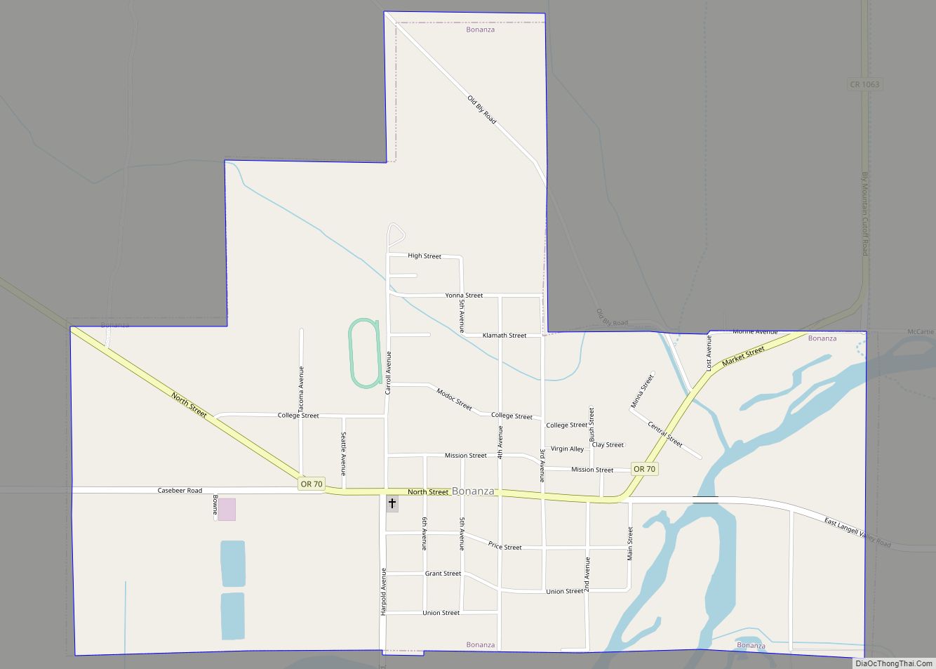
Bonanza Road Map
Bonanza city Satellite Map
Geography
Bonanza is at an elevation of 4,127 feet (1,258 m) in southern Klamath County near the Oregon–California border. The town is at the east end of Oregon Route 70, a spur off Oregon Route 140. By highway, Bonanza is about 21 miles (34 km) from Klamath Falls and 300 miles (483 km) from Portland.
The Lost River flows through Bonanza. According to the United States Census Bureau, the town has a total area of 0.82 square miles (2.12 km), all of it land.
Climate
This region experiences warm (but not hot) and dry summers, with no average monthly temperatures above 71.6 °F (22.0 °C). According to the Köppen Climate Classification system, Bonanza has a warm-summer Mediterranean climate, abbreviated Csb on climate maps.
See also
Map of Oregon State and its subdivision: Map of other states:- Alabama
- Alaska
- Arizona
- Arkansas
- California
- Colorado
- Connecticut
- Delaware
- District of Columbia
- Florida
- Georgia
- Hawaii
- Idaho
- Illinois
- Indiana
- Iowa
- Kansas
- Kentucky
- Louisiana
- Maine
- Maryland
- Massachusetts
- Michigan
- Minnesota
- Mississippi
- Missouri
- Montana
- Nebraska
- Nevada
- New Hampshire
- New Jersey
- New Mexico
- New York
- North Carolina
- North Dakota
- Ohio
- Oklahoma
- Oregon
- Pennsylvania
- Rhode Island
- South Carolina
- South Dakota
- Tennessee
- Texas
- Utah
- Vermont
- Virginia
- Washington
- West Virginia
- Wisconsin
- Wyoming
