Cannon Beach is a city in Clatsop County, Oregon, United States. Its population was 1,690 at the 2010 census. It is a popular coastal Oregon tourist destination, famous for Haystack Rock, a 235 ft (72 m) sea stack that juts out along the coast. In 2013, National Geographic listed it as “one of the world’s 100 most beautiful places.”
| Name: | Cannon Beach city |
|---|---|
| LSAD Code: | 25 |
| LSAD Description: | city (suffix) |
| State: | Oregon |
| County: | Clatsop County |
| Incorporated: | 1956 |
| Elevation: | 30 ft (9.14 m) |
| Total Area: | 1.57 sq mi (4.07 km²) |
| Land Area: | 1.57 sq mi (4.07 km²) |
| Water Area: | 0.00 sq mi (0.00 km²) |
| Total Population: | 1,489 |
| Population Density: | 947.80/sq mi (366.04/km²) |
| ZIP code: | 97110 |
| Area code: | 503 |
| FIPS code: | 4110850 |
| GNISfeature ID: | 1136119 |
| Website: | ci.cannon-beach.or.us |
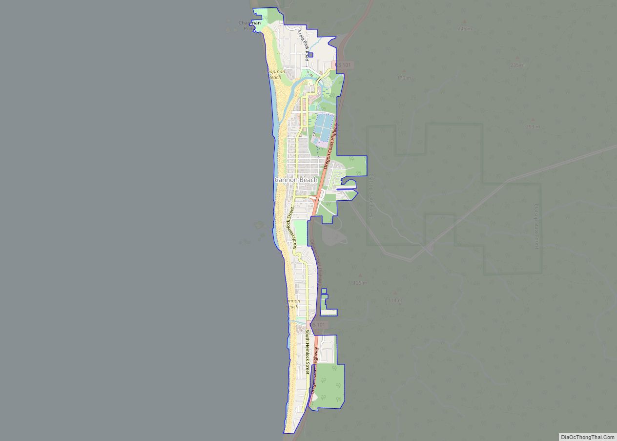
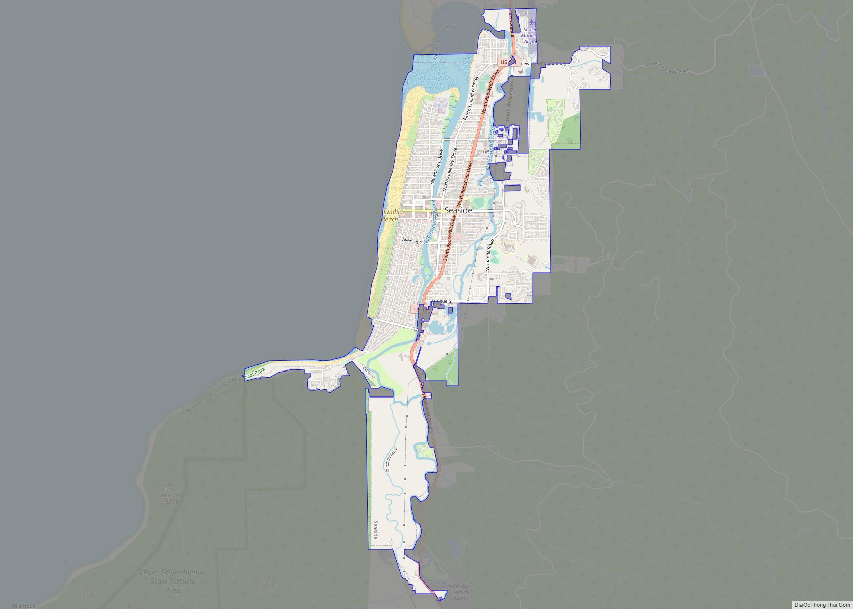
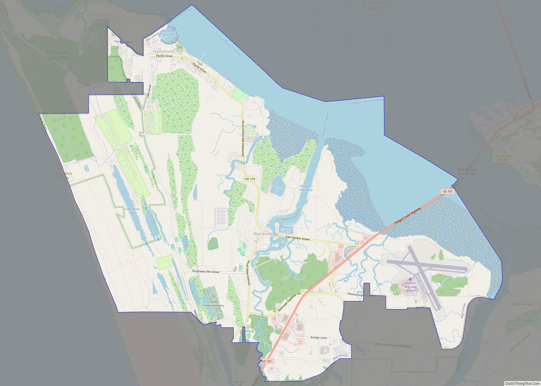
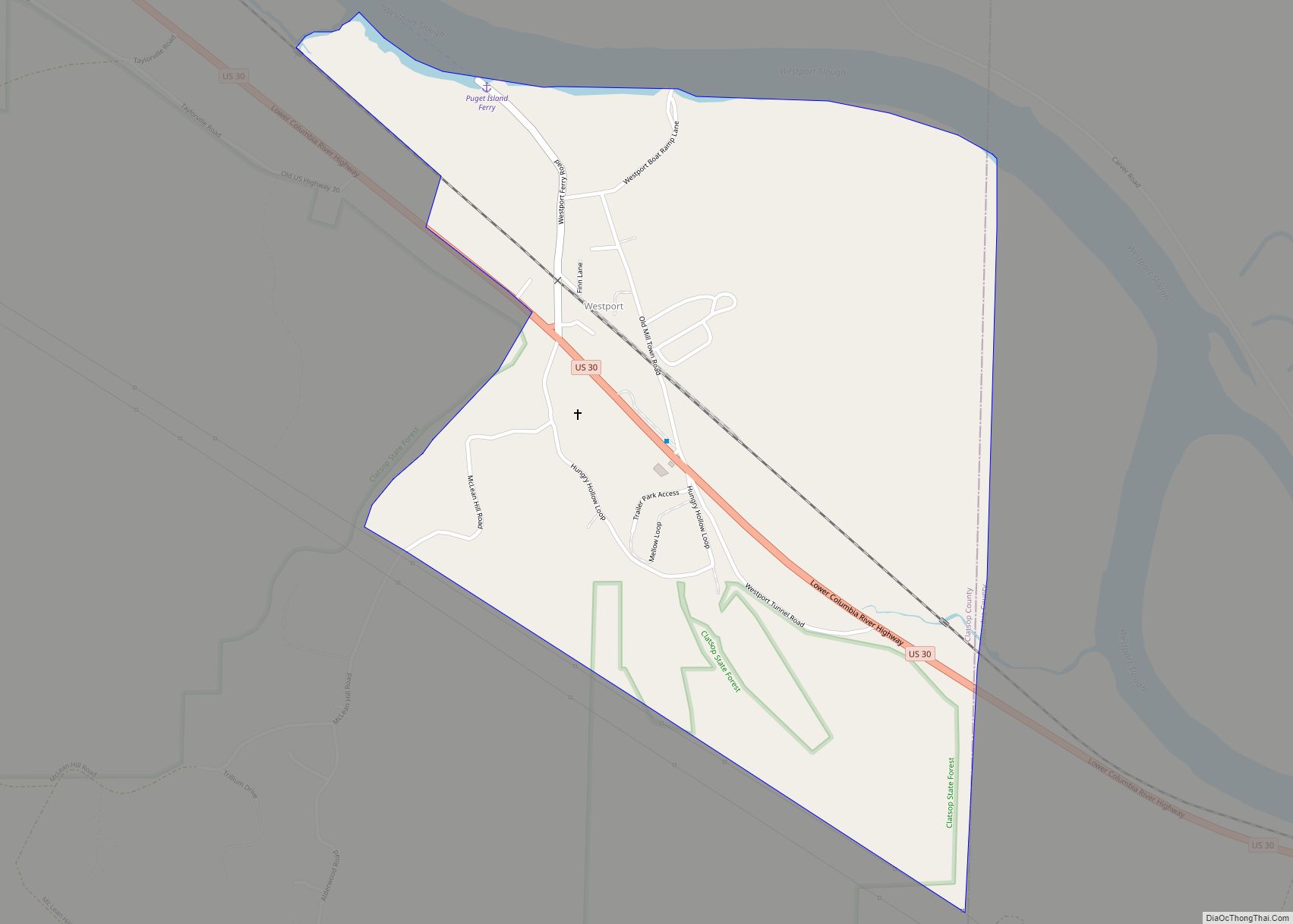
Online Interactive Map
Click on ![]() to view map in "full screen" mode.
to view map in "full screen" mode.
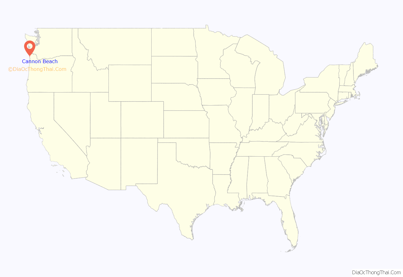
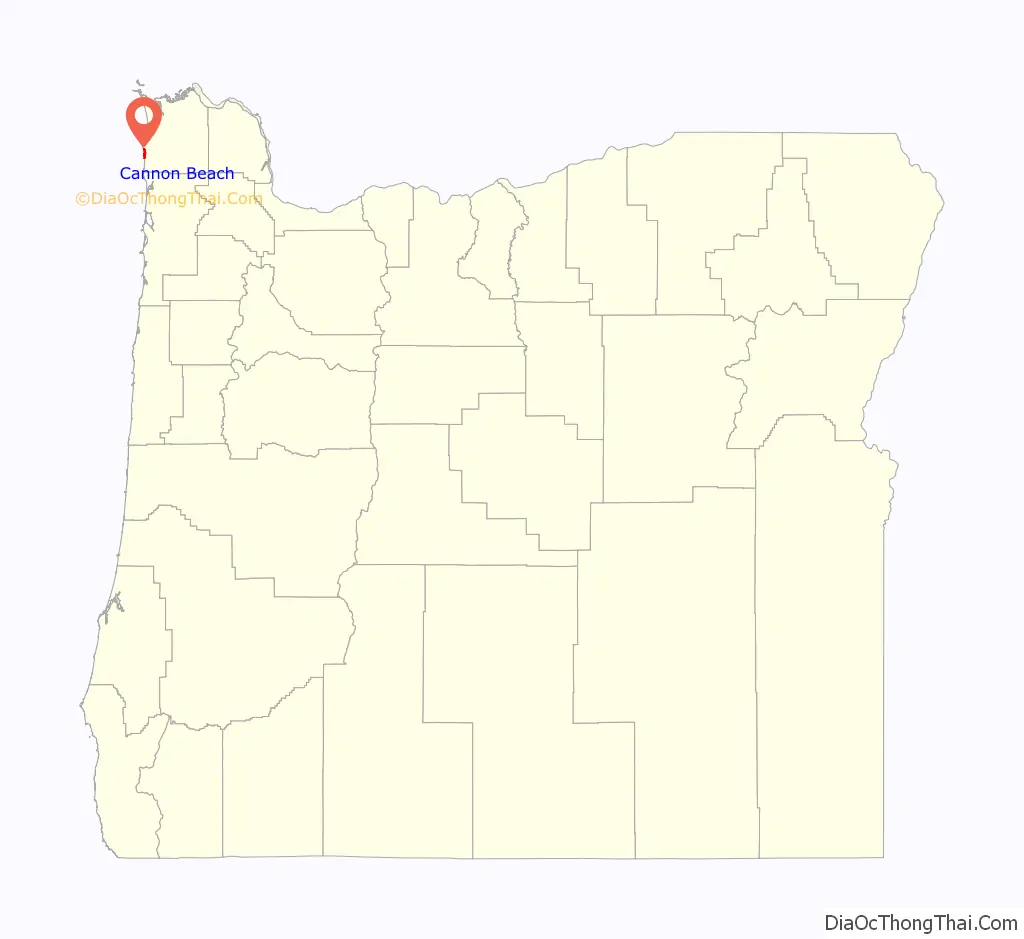
Cannon Beach location map. Where is Cannon Beach city?
History
Cannon Beach and its surrounding coast was previously settled by the Tillamook people.
William Clark, one of the leaders of the Lewis and Clark Expedition, journeyed to Cannon Beach in early 1805. The expedition was wintering at Fort Clatsop, roughly 20 miles (32 km) to the north near the mouth of the Columbia River. In December 1805, two members of the expedition returned to camp with blubber from a whale that had beached several miles south, near the mouth of Ecola Creek. Clark later explored the region himself. From a spot near the western cliffs of the headland he saw “…the grandest and most pleasing prospects which my eyes ever surveyed, in front of a boundless Ocean…” That viewpoint, later dubbed “Clark’s Point of View,” can be accessed by a hiking trail from Indian Beach in Ecola State Park.
Clark and several of his companions, including Sacagawea, completed a three-day journey on January 10, 1806, to the site of the beached whale. They encountered a group of Tillamook who were boiling blubber for storage. Clark and his party met with them and successfully bartered for 300 pounds (136 kg) of blubber and some whale oil before returning to Fort Clatsop. There is a whale sculpture commemorating the encounter between Clark’s group and the Tillamooks in a small park at the northern end of Hemlock Street.
Clark applied the name Ekoli to what is now Ecola Creek. Ehkoli is a Chinook word for “whale”. Early settlers later renamed the creek “Elk Creek”, and a community with the same name formed nearby.
In 1846, a cannon from the US Navy schooner Shark, which had sunk earlier that year, washed ashore just north of Arch Cape, a few miles south of the community. The schooner hit land while attempting to cross the Columbia Bar, also known as the “Graveyard of the Pacific.” The cannon, rediscovered in 1898, eventually inspired a name change for the growing community. In 1922, Elk Creek was renamed Cannon Beach (reflecting the 8-mile (13 km) beach that extends south of Ecola Creek to Arch Cape) at the insistence of the Post Office Department because the name was frequently confused with Eola. Elk Creek itself was renamed Ecola Creek to honor William Clark’s original name.
The cannon is now housed in the city’s museum and a replica of it can be seen alongside U.S. Route 101. Two more cannons, also believed to have been from the Shark, were discovered on Arch Cape over the weekend of February 16, 2008.
U.S. Highway 101 formerly ran through Cannon Beach. In 1964, a tsunami generated by the Good Friday earthquake came ashore along the coast of the Pacific Northwest. The subsequent flooding inundated parts of Cannon Beach and washed away the highway bridge located on the north side of city. The city, now isolated from the highway, decided to attract visitors by holding a sand castle contest, an event that still continues annually every June.
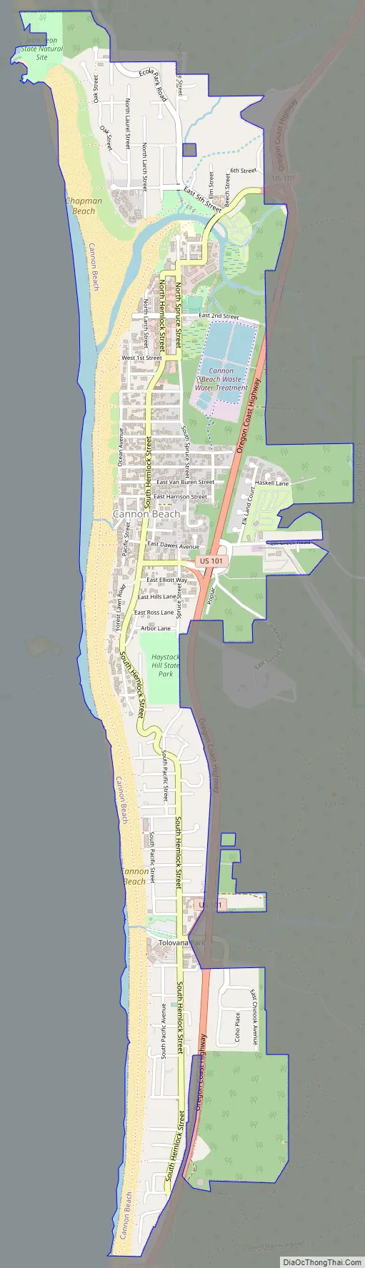
Cannon Beach Road Map
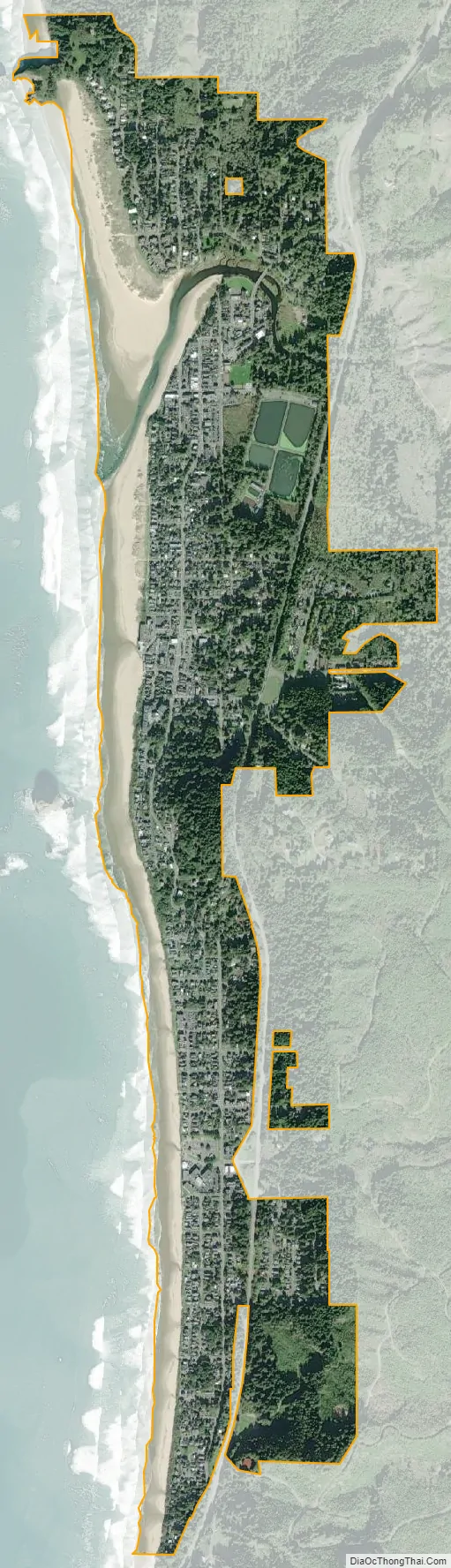
Cannon Beach city Satellite Map
Geography
According to the United States Census Bureau, the city has a total area of 1.54 square miles (3.99 km), all land. The Tolovana Park neighborhood is south of the downtown core, adjacent to Tolovana Beach State Recreation Site.
Climate
This region experiences mild, dry summers, with no average monthly temperatures above 71.6 °F (22.0 °C). According to the Köppen Climate Classification system, Cannon Beach has a warm-summer Mediterranean climate, abbreviated “Csb” on climate maps.
See also
Map of Oregon State and its subdivision: Map of other states:- Alabama
- Alaska
- Arizona
- Arkansas
- California
- Colorado
- Connecticut
- Delaware
- District of Columbia
- Florida
- Georgia
- Hawaii
- Idaho
- Illinois
- Indiana
- Iowa
- Kansas
- Kentucky
- Louisiana
- Maine
- Maryland
- Massachusetts
- Michigan
- Minnesota
- Mississippi
- Missouri
- Montana
- Nebraska
- Nevada
- New Hampshire
- New Jersey
- New Mexico
- New York
- North Carolina
- North Dakota
- Ohio
- Oklahoma
- Oregon
- Pennsylvania
- Rhode Island
- South Carolina
- South Dakota
- Tennessee
- Texas
- Utah
- Vermont
- Virginia
- Washington
- West Virginia
- Wisconsin
- Wyoming