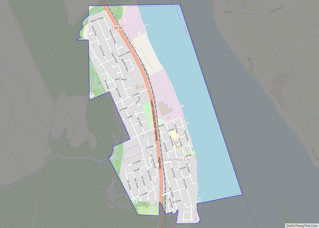
Columbia City is a city in Columbia County, Oregon, United States. It was named for its location on the Columbia River. The population was 1,946 at the 2010 census.
| Name: | Columbia City city |
|---|---|
| LSAD Code: | 25 |
| LSAD Description: | city (suffix) |
| State: | Oregon |
| County: | Columbia County |
| Incorporated: | 1926 |
| Elevation: | 71 ft (21.6 m) |
| Total Area: | 1.16 sq mi (3.00 km²) |
| Land Area: | 0.79 sq mi (2.03 km²) |
| Water Area: | 0.37 sq mi (0.97 km²) |
| Total Population: | 1,949 |
| Population Density: | 2,482.80/sq mi (959.21/km²) |
| ZIP code: | 97018 |
| Area code: | 503 |
| FIPS code: | 4114750 |
| GNISfeature ID: | 1637838 |
| Website: | www.columbia-city.org |
Online Interactive Map
Click on ![]() to view map in "full screen" mode.
to view map in "full screen" mode.
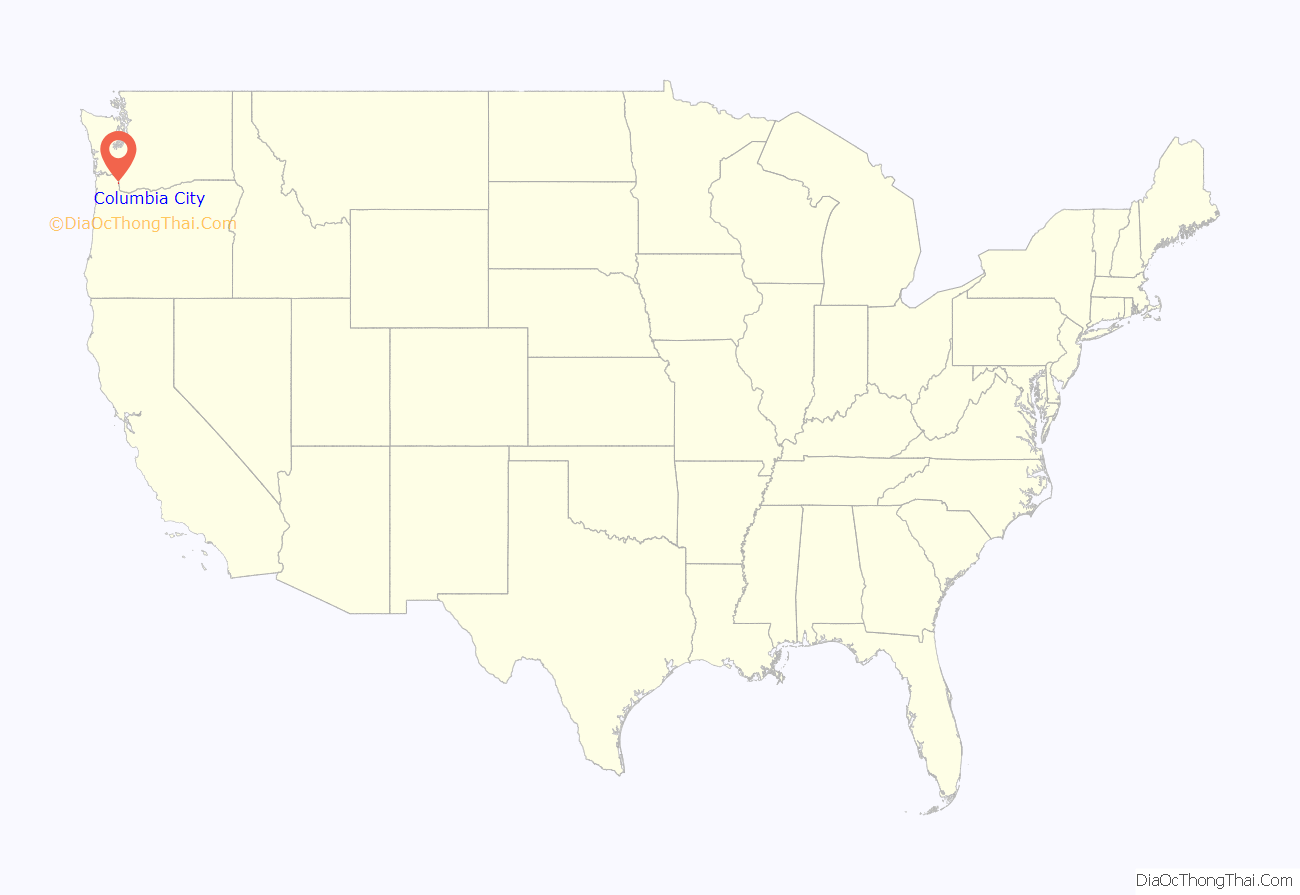
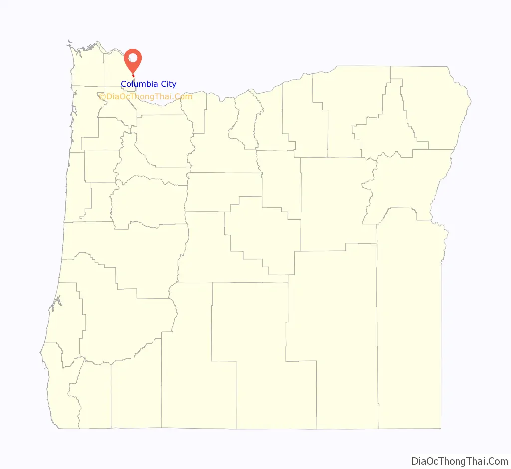
Columbia City location map. Where is Columbia City city?
History
Columbia City was founded in 1867 by Jacob and Joseph Caples. In 1870, the town had aspirations of becoming the terminus for Ben Holladay’s Willamette Valley railroad. The same year, Portland became the terminus of the west-side line, but the railroad never reached Columbia City. Columbia City post office was established in 1871. In 1902 the Columbia and Nehalem Valley Railroad was built as a forest railway towards Yankton.
During World War I Columbia City built ships for the war effort, which was run by the Sommartson Shipbuilding Co. Sommartson Shipbuilding Co. Images They were ideally situated due to the channel coming so close to shore. The contracts were cancelled at the end of the war.
Currently, Columbia City serves as a suburb of St. Helens.
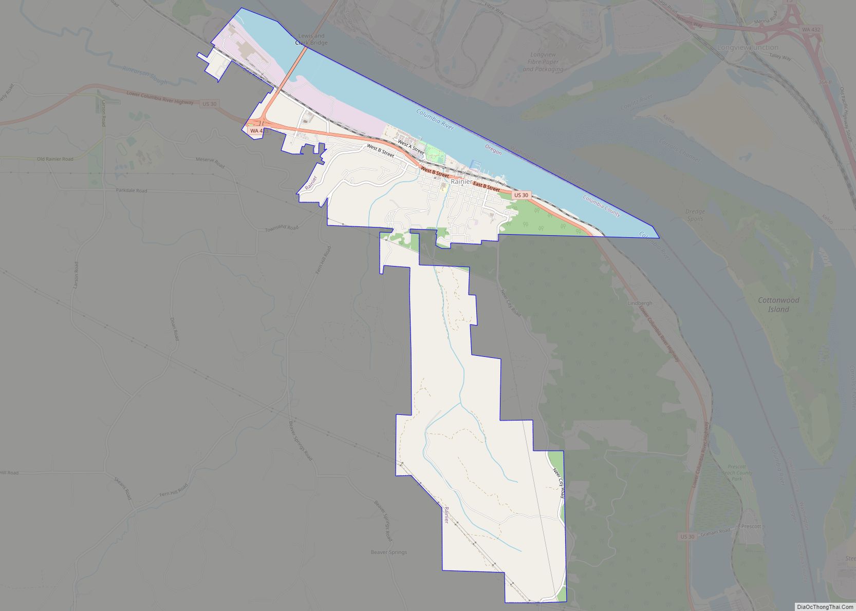
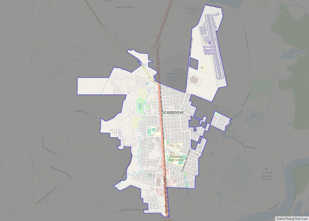
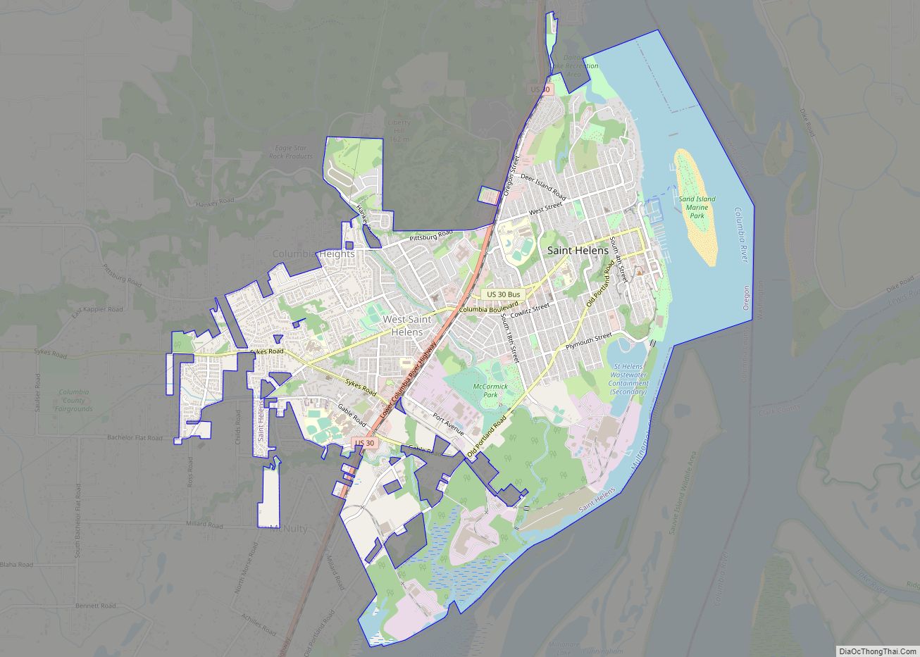
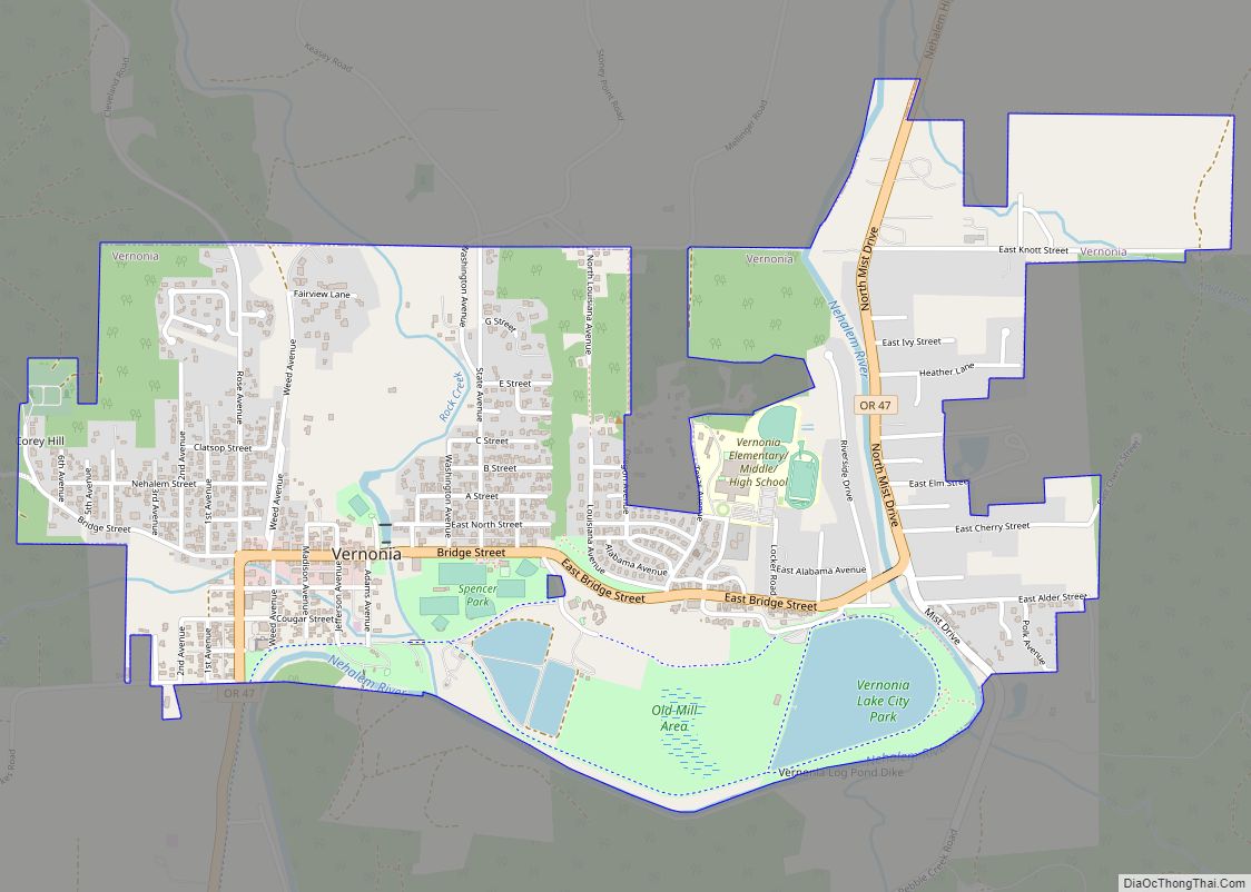
Columbia City Road Map
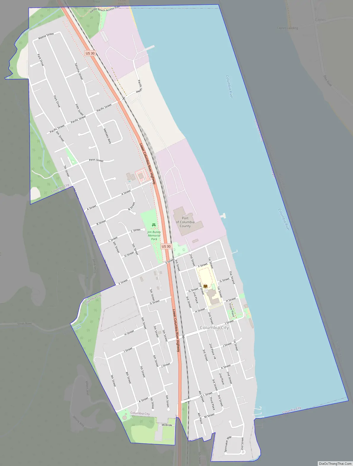
Columbia City city Satellite Map
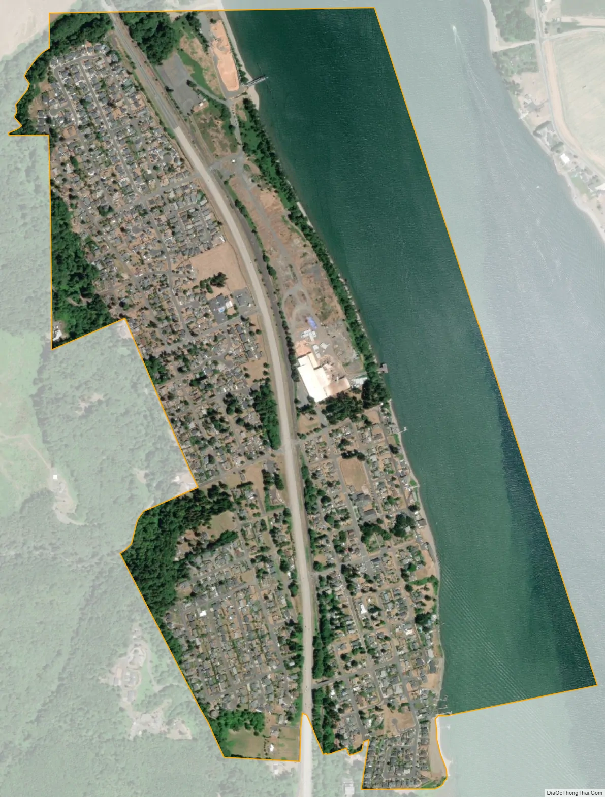
Geography
According to the United States Census Bureau, the city has a total area of 1.15 square miles (2.98 km), of which, 0.77 square miles (1.99 km) is land and 0.38 square miles (0.98 km) is water.
Climate
This region experiences warm (but not hot) and dry summers, with no average monthly temperatures above 71.6 °F (22.0 °C). According to the Köppen Climate Classification system, Columbia City has a warm-summer Mediterranean climate, abbreviated “Csb” on climate maps.
See also
Map of Oregon State and its subdivision: Map of other states:- Alabama
- Alaska
- Arizona
- Arkansas
- California
- Colorado
- Connecticut
- Delaware
- District of Columbia
- Florida
- Georgia
- Hawaii
- Idaho
- Illinois
- Indiana
- Iowa
- Kansas
- Kentucky
- Louisiana
- Maine
- Maryland
- Massachusetts
- Michigan
- Minnesota
- Mississippi
- Missouri
- Montana
- Nebraska
- Nevada
- New Hampshire
- New Jersey
- New Mexico
- New York
- North Carolina
- North Dakota
- Ohio
- Oklahoma
- Oregon
- Pennsylvania
- Rhode Island
- South Carolina
- South Dakota
- Tennessee
- Texas
- Utah
- Vermont
- Virginia
- Washington
- West Virginia
- Wisconsin
- Wyoming