Dundee /ˈdʌndiː/ is a city in Yamhill County, Oregon, United States. The population was 3,238 at the 2020 census.
| Name: | Dundee city |
|---|---|
| LSAD Code: | 25 |
| LSAD Description: | city (suffix) |
| State: | Oregon |
| County: | Yamhill County |
| Incorporated: | 1895 |
| Elevation: | 189 ft (57.6 m) |
| Total Area: | 1.36 sq mi (3.53 km²) |
| Land Area: | 1.34 sq mi (3.47 km²) |
| Water Area: | 0.02 sq mi (0.06 km²) |
| Total Population: | 3,238 |
| Population Density: | 2,418.22/sq mi (933.79/km²) |
| ZIP code: | 97115 |
| Area code: | 503 |
| FIPS code: | 4121050 |
| GNISfeature ID: | 1166649 |
| Website: | www.dundeecity.org |
Online Interactive Map
Click on ![]() to view map in "full screen" mode.
to view map in "full screen" mode.
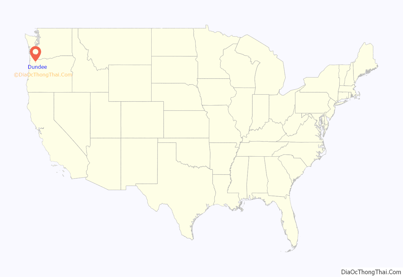
Dundee location map. Where is Dundee city?
History
The first post office in the area was Ekins, established in 1881. Dundee is named in honor of the birthplace of William Reid, Dundee, Scotland. Reid came to Oregon in 1874 to establish the Oregonian Railway, and made several extensions to the railroad in the western Willamette Valley. The Ekins post office was closed in 1885 and a new office opened in 1887, named “Dundee Junction”. The name derived from plans to build a bridge across the Willamette River for the railroad, which would have called for a junction at Dundee between the west railroad and the new east railroad. The bridge was never built, however, and the post office was renamed “Dundee” in 1897.
Dundee Road Map
Dundee city Satellite Map
Geography
According to the United States Census Bureau, the city has a total area of 1.35 square miles (3.50 km), of which 1.33 square miles (3.44 km) is land and 0.02 square miles (0.05 km) is water.
Dundee is two miles southwest of the city of Newberg.
See also
Map of Oregon State and its subdivision: Map of other states:- Alabama
- Alaska
- Arizona
- Arkansas
- California
- Colorado
- Connecticut
- Delaware
- District of Columbia
- Florida
- Georgia
- Hawaii
- Idaho
- Illinois
- Indiana
- Iowa
- Kansas
- Kentucky
- Louisiana
- Maine
- Maryland
- Massachusetts
- Michigan
- Minnesota
- Mississippi
- Missouri
- Montana
- Nebraska
- Nevada
- New Hampshire
- New Jersey
- New Mexico
- New York
- North Carolina
- North Dakota
- Ohio
- Oklahoma
- Oregon
- Pennsylvania
- Rhode Island
- South Carolina
- South Dakota
- Tennessee
- Texas
- Utah
- Vermont
- Virginia
- Washington
- West Virginia
- Wisconsin
- Wyoming
