Newberg is a city in Yamhill County, Oregon, United States. Located in the Portland metropolitan area, the city is home to George Fox University. As of the 2020 census, the city population was 25,138 making it the second most populous city in the county.
| Name: | Newberg city |
|---|---|
| LSAD Code: | 25 |
| LSAD Description: | city (suffix) |
| State: | Oregon |
| County: | Yamhill County |
| Incorporated: | 1889 |
| Elevation: | 175 ft (53 m) |
| Total Area: | 5.98 sq mi (15.49 km²) |
| Land Area: | 5.98 sq mi (15.49 km²) |
| Water Area: | 0.00 sq mi (0.00 km²) |
| Total Population: | 25,138 |
| Population Density: | 4,204.38/sq mi (1,623.34/km²) |
| ZIP code: | 97132 |
| Area code: | 503 |
| FIPS code: | 4152100 |
| GNISfeature ID: | 1166686 |
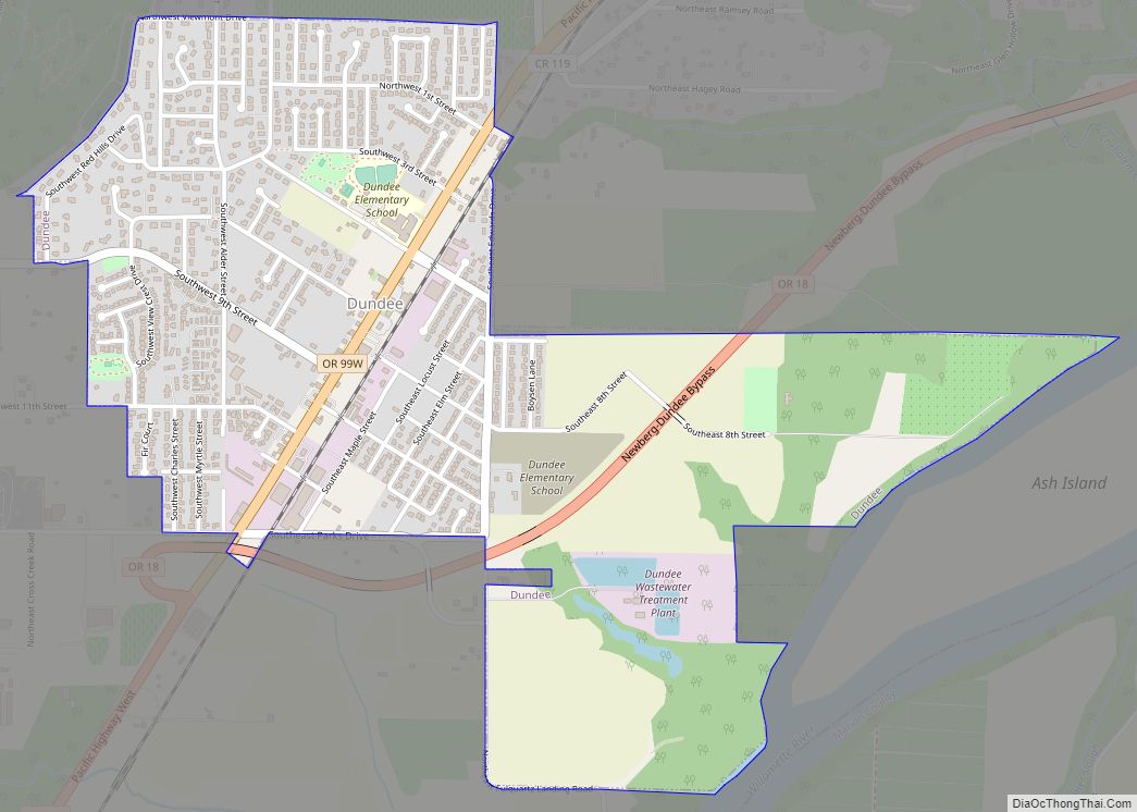
Online Interactive Map
Click on ![]() to view map in "full screen" mode.
to view map in "full screen" mode.
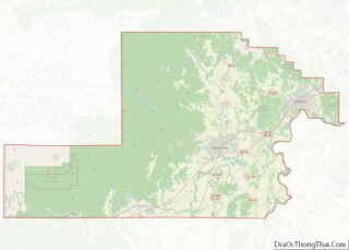
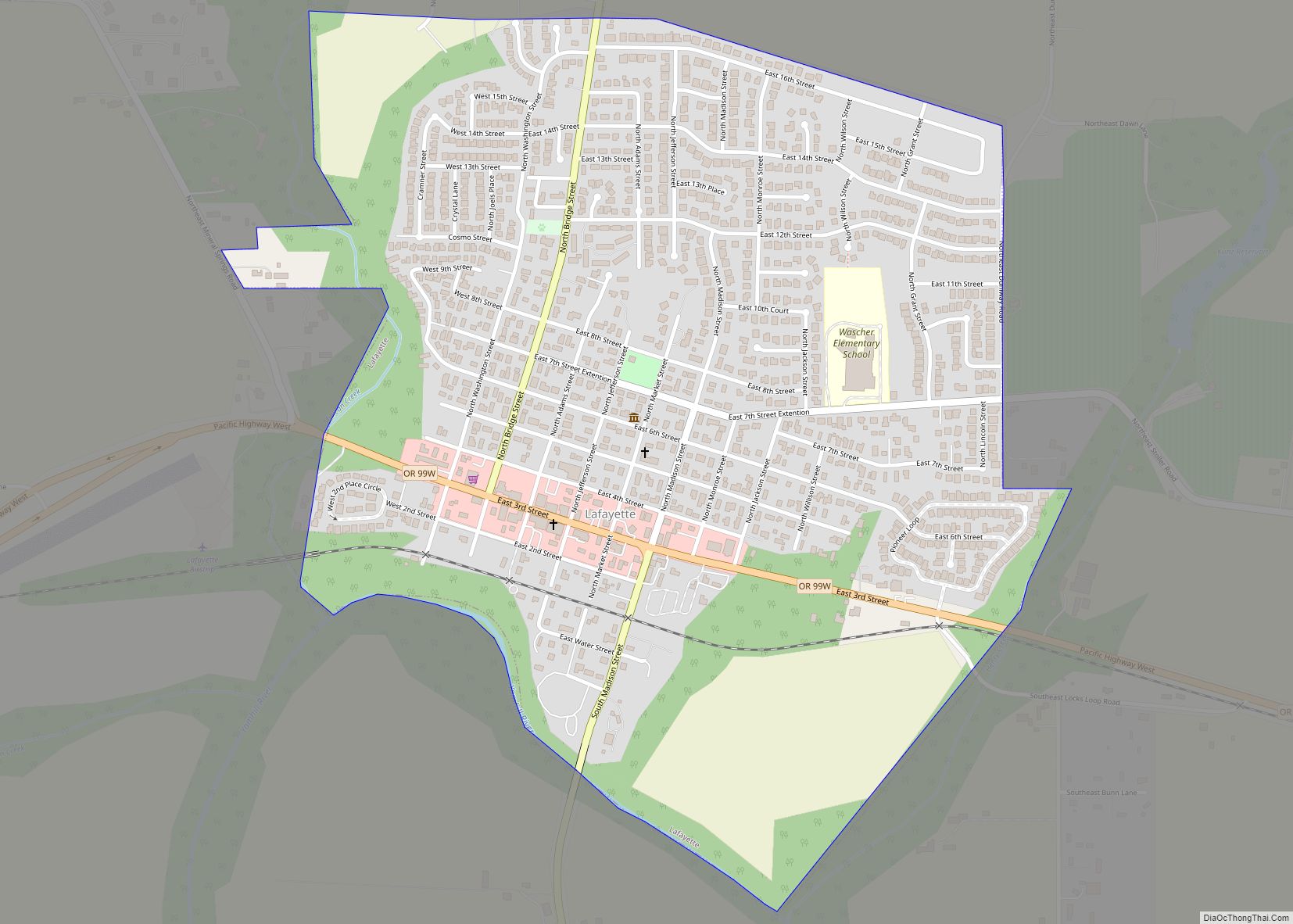
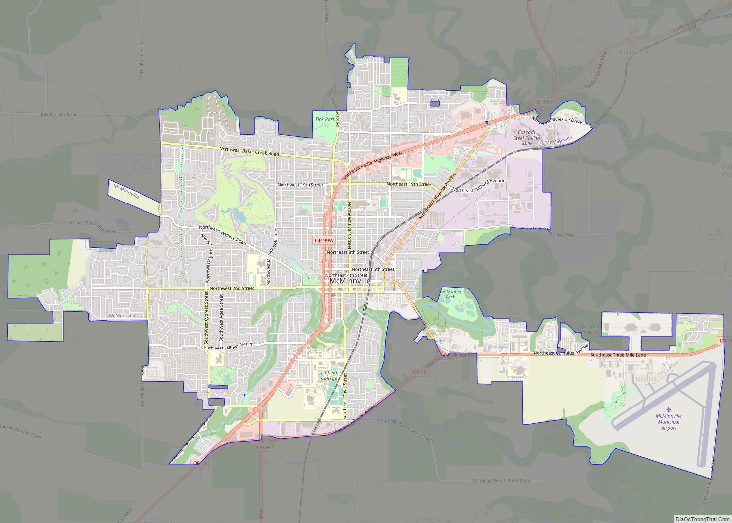
Newberg location map. Where is Newberg city?


History
Ewing Young, after leading pioneering fur brigades in California, came to Portland in 1834 and settled on the west bank of the Willamette River near the mouth of Chehalem Creek, opposite of Champoeg. Young’s home is believed to be the first house built by European-Americans on that side of the river. Later, Joseph Rogers settled near the Willamette River at what is now Newberg in 1848. The community was known early on as Chehalem, and later as Roger’s Landing for Rogers who founded the settlement, and who died in 1855. In 1883, the community was platted. Incorporated in 1889, a community tradition states that this town was named by its first postmaster, Sebastian Brutscher, for his former hometown of Neuberg in Germany One of the current streets, Brutscher Street, is named after Brutscher.
Newberg was one of the first communities in Oregon to hold Quaker services. It was incorporated as a city in 1889. The city’s oldest surviving newspaper, The Newberg Graphic, was established Dec. 1, 1888. Friends Pacific Academy, renamed Pacific College in 1891 and then George Fox University in 1949, was founded by the Quakers in 1885. George Fox University is classified by U.S. News & World Report as a first-tier regional university and “Best Value” school. The campus resides in the center of the city, surrounded by university-owned housing.
Herbert Hoover moved to the city in 1885, to live with his uncle and aunt after the death of his parents and was one of the first students to attend his uncle’s Pacific Academy. The home has been turned into the Hoover-Minthorn House museum.
The town was “dry”, meaning no alcohol could be sold within the city limits, for a good part of its early history.
The first domesticated Llama was brought to Newberg in 1972, and the town quickly became the leader in llama breeding in the Pacific Northwest by 1982.
Newberg Road Map
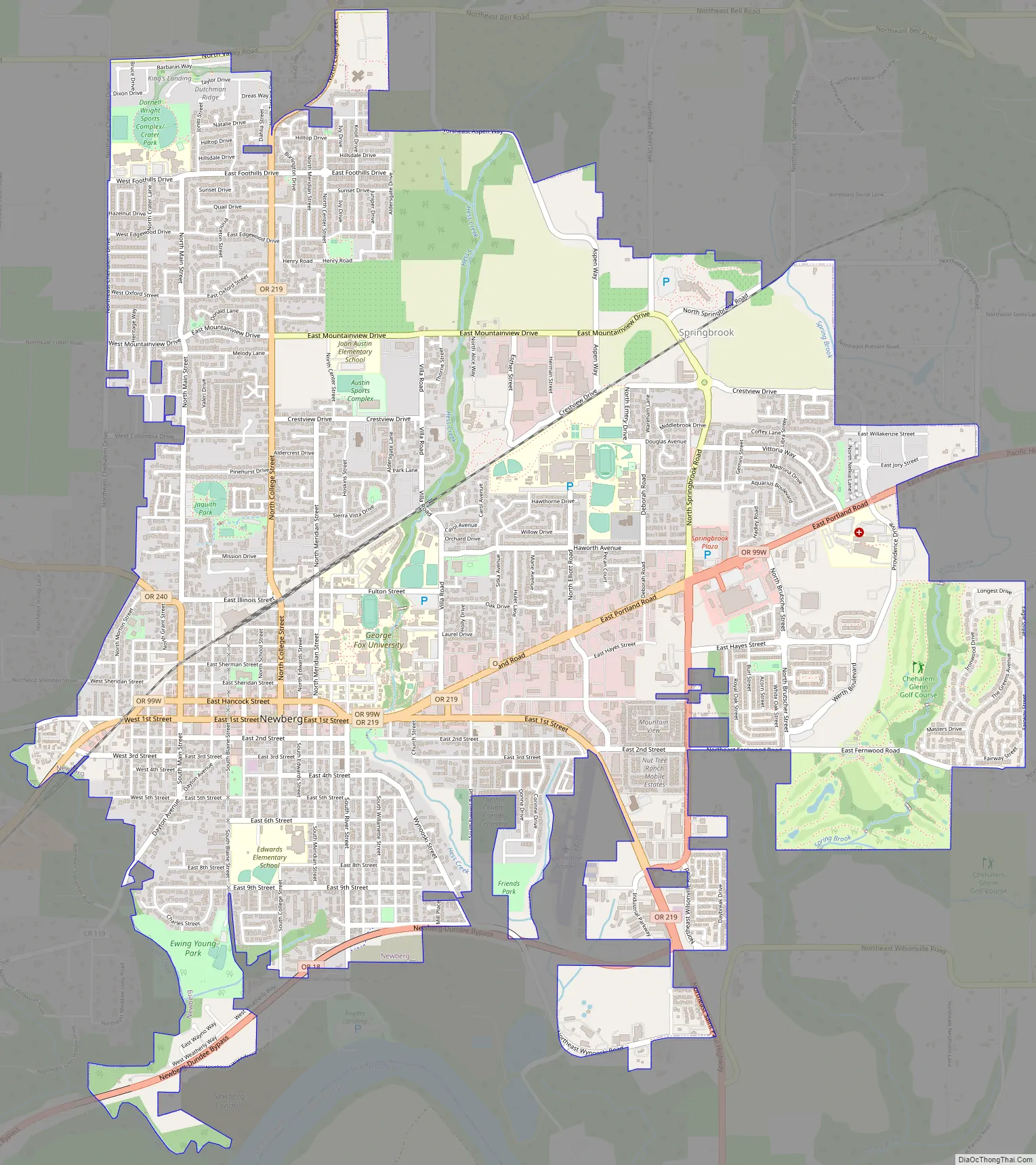
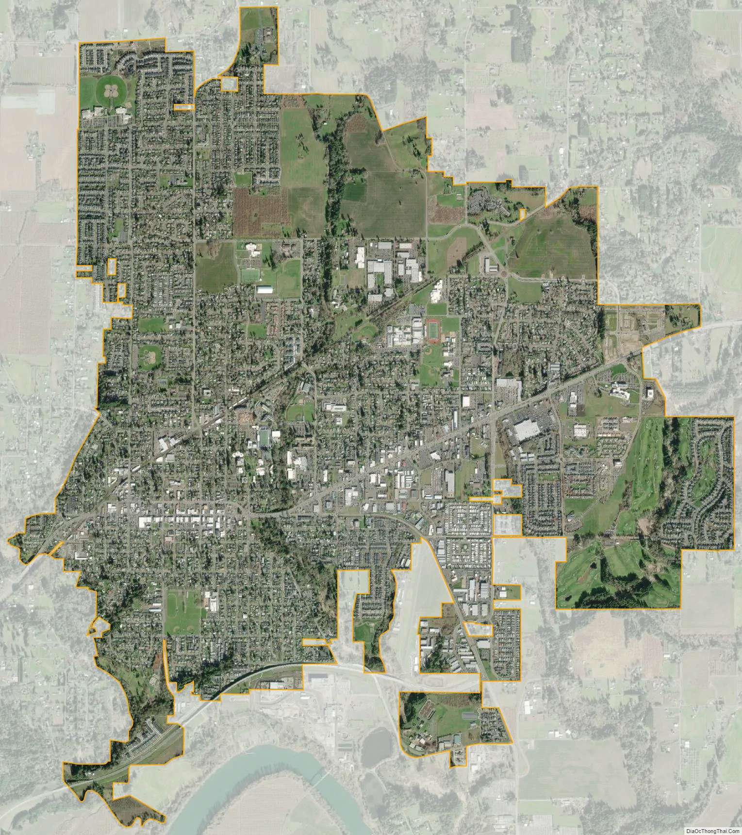
Newberg city Satellite Map
Geography
Newberg is located on Oregon Route 99W, approximately 25 miles (40 km) southwest of Portland. Springbrook, once a separate community, is now considered part of Newberg.
According to the United States Census Bureau, the city has a total area of 5.81 square miles (15.05 km), all land. It averages 176 feet (54 m) in elevation.
Climate
Newberg, like Portland, has a warm-summer Mediterranean climate (Köppen Csb) with cool and cloudy winters, and warm and dry summers. This climate is characterized by having overcast, wet, and changing weather conditions in fall, winter, and spring, as Newberg lies in the direct path of the stormy westerly flow, and mild and dry summers when the Pacific High reaches its northernmost point in mid summer. According to the Köppen climate classification, Newberg falls within the dry-summer temperate zone (Csb). with a USDA Plant Hardiness Zones between 8b and 9a. Other climate systems, such as the Trewartha climate classification, place it within the oceanic zone (Do), like much of the Pacific Northwest and Western Europe.
Winters are cool, cloudy, and rainy. The coldest months are December and January, with an average daily high of 46.0 °F (7.8 °C), although overnight lows usually remain above freezing by a few degrees. Evening temperatures fall to or below freezing 33 nights per year on average, but very rarely to or below 18 °F (−8 °C). There are only 2.1 days per year where the daytime high temperature fails to rise above freezing. The lowest overnight temperature ever recorded was −3 °F (−19 °C).
Annual snowfall in Newberg falls during the December-to-March time frame. Newport, for example, has more frequent snow than Portland, due in part to higher elevations near the West Hills and Mount Tabor, so can experience a dusting of snow while downtown Portland receives no accumulation at all.
Summers in Newberg are warm, occasionally hot, dry, and sunny, though the sunny warm weather is short-lived, from mid June through early September. The months of June, July, August and September account for a combined 4.78 inches (121 mm) of total rainfall – of the 39.95 in (1,015 mm) of the precipitation that falls throughout the year. The warmest month is July, with an average high temperature of 80.0 °F (26.7 °C). Because of its inland location 70 miles (110 km) from the coast, as well as the protective nature of the Oregon Coast Range to its west, Newberg summers are less susceptible to the moderating influence of the nearby Pacific Ocean. Consequently, Portland experiences heat waves on rare occasion, with temperatures rising into the 90 °F (32 °C) for a few days. However, on average, temperatures reach or exceed 80 °F (27 °C) on only 56 days per year, of which about 12 days will reach 90 °F (32 °C) and only 1–2 days will reach 100 °F (38 °C).
Spring and fall can bring variable weather, including warm fronts that send temperatures surging above 80 °F (27 °C) and cold snaps that plunge daytime temperatures into the 40s °F (4–9 °C). However, lengthy stretches of overcast days beginning in mid fall and continuing into mid spring are most common. Rain often falls as a light drizzle for several consecutive days at a time, contributing to 152 days on average with measurable (≥0.01 in or 0.25 mm) precipitation annually.
See also
Map of Oregon State and its subdivision: Map of other states:- Alabama
- Alaska
- Arizona
- Arkansas
- California
- Colorado
- Connecticut
- Delaware
- District of Columbia
- Florida
- Georgia
- Hawaii
- Idaho
- Illinois
- Indiana
- Iowa
- Kansas
- Kentucky
- Louisiana
- Maine
- Maryland
- Massachusetts
- Michigan
- Minnesota
- Mississippi
- Missouri
- Montana
- Nebraska
- Nevada
- New Hampshire
- New Jersey
- New Mexico
- New York
- North Carolina
- North Dakota
- Ohio
- Oklahoma
- Oregon
- Pennsylvania
- Rhode Island
- South Carolina
- South Dakota
- Tennessee
- Texas
- Utah
- Vermont
- Virginia
- Washington
- West Virginia
- Wisconsin
- Wyoming