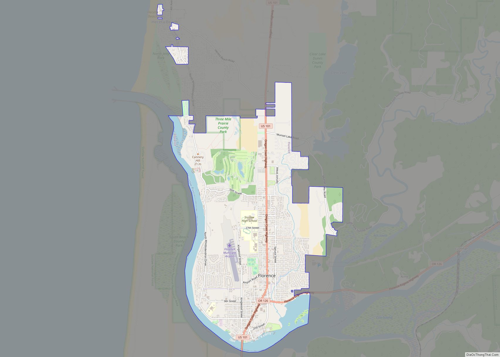
Florence is a coastal city in Lane County, in the U.S. state of Oregon. It lies at the mouth of the Siuslaw River on the Pacific Ocean and about midway between Newport and Coos Bay along U.S. Route 101. As of the 2020 census, the city had a total population of 8,921.
| Name: | Florence city |
|---|---|
| LSAD Code: | 25 |
| LSAD Description: | city (suffix) |
| State: | Oregon |
| County: | Lane County |
| Incorporated: | 1893 |
| Elevation: | 14 ft (4.27 m) |
| Total Area: | 6.22 sq mi (16.11 km²) |
| Land Area: | 5.53 sq mi (14.33 km²) |
| Water Area: | 0.69 sq mi (1.78 km²) |
| Total Population: | 9,396 |
| Population Density: | 1,698.17/sq mi (655.68/km²) |
| ZIP code: | 97439 |
| Area code: | 458 and 541 |
| FIPS code: | 4126050 |
| GNISfeature ID: | 1142259 |
| Website: | www.ci.florence.or.us |
Online Interactive Map
Click on ![]() to view map in "full screen" mode.
to view map in "full screen" mode.
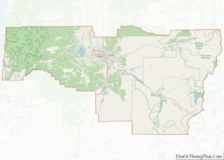
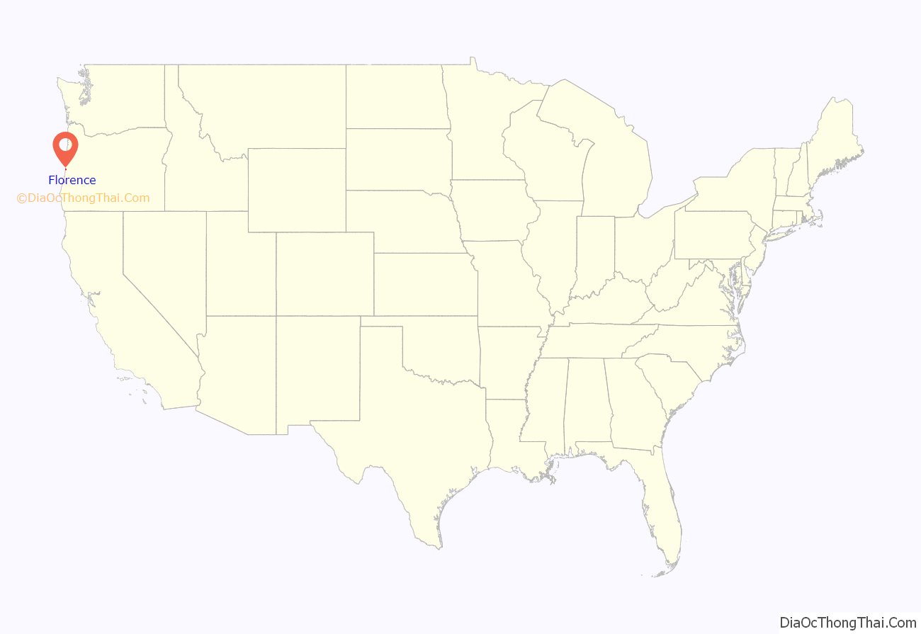
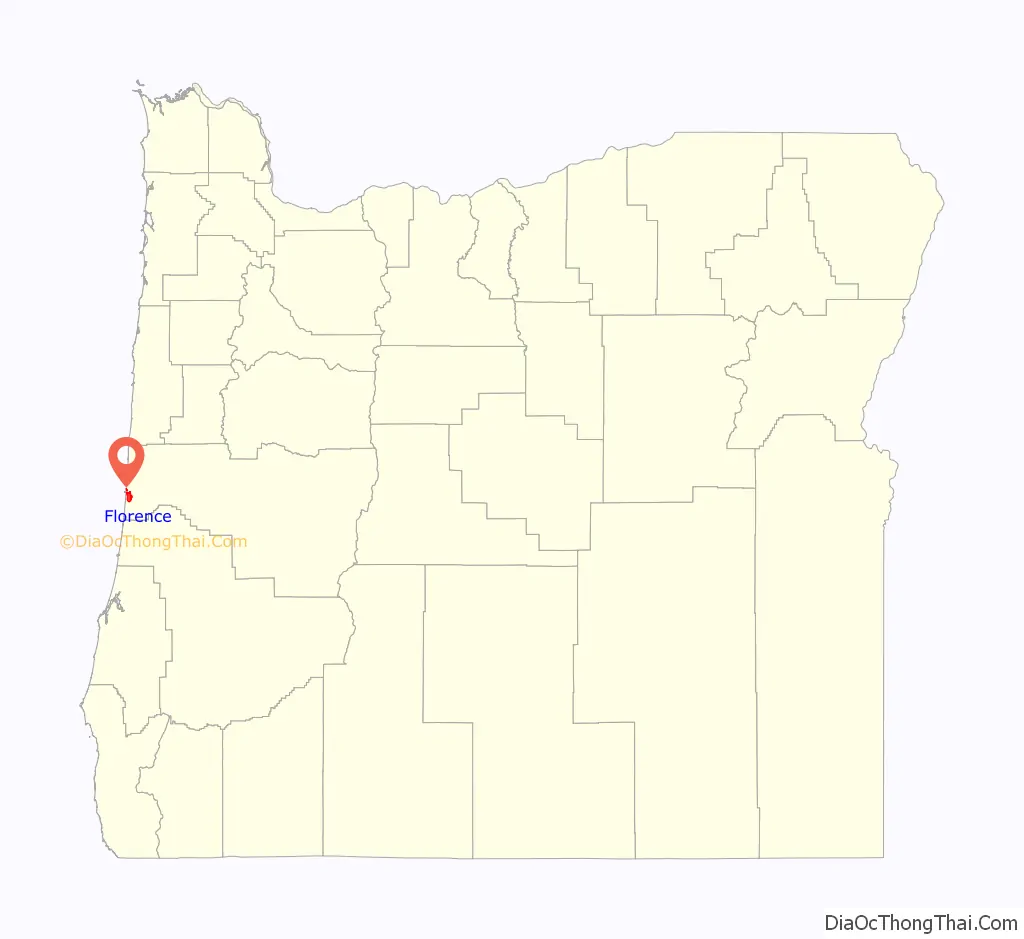
Florence location map. Where is Florence city?
History
The Florence area was originally inhabited by the Siuslaw tribe of Native Americans. Some claim that the city was named after state senator A. B. Florence, who represented Lane County from 1858 to 1860; another claim is that Florence was named after a French vessel that was wrecked at the mouth of the Siuslaw River on February 17, 1875.
Exploding whale
On November 12, 1970, Florence was the site of a famous scene, when town authorities used 20 cases of explosives to try to blow up a dead beached whale, with unintended consequences. In 2020 residents voted to name a new park Exploding Whale Memorial Park.
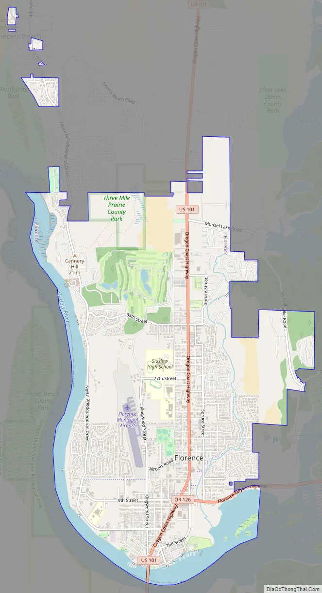
Florence Road Map
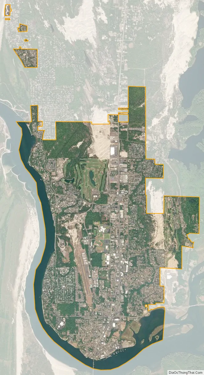
Florence city Satellite Map
Geography
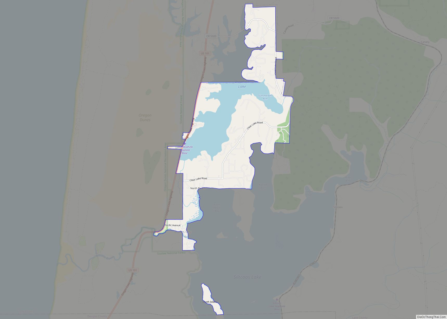
Florence is located on the Oregon Coast at the mouth of the Siuslaw River immediately north of Oregon Dunes National Recreation Area, at about the same latitude as Eugene, Oregon. It is approximately midway between the other major central Oregon coastal cities of Newport and Coos Bay. Florence annexed Driftwood Shores hotel and conference center north of town in Heceta Beach in 2008.
The unincorporated community of Glenada lies just across the Siuslaw on U.S. Route 101 to the south of Florence, and the city of Yachats is 23 miles (37 km) to the north.
According to the United States Census Bureau, the city has a total area of 5.87 square miles (15.20 km), of which 5.30 square miles (13.73 km) is land and 0.57 square miles (1.48 km) is water.
See also
Map of Oregon State and its subdivision: Map of other states:- Alabama
- Alaska
- Arizona
- Arkansas
- California
- Colorado
- Connecticut
- Delaware
- District of Columbia
- Florida
- Georgia
- Hawaii
- Idaho
- Illinois
- Indiana
- Iowa
- Kansas
- Kentucky
- Louisiana
- Maine
- Maryland
- Massachusetts
- Michigan
- Minnesota
- Mississippi
- Missouri
- Montana
- Nebraska
- Nevada
- New Hampshire
- New Jersey
- New Mexico
- New York
- North Carolina
- North Dakota
- Ohio
- Oklahoma
- Oregon
- Pennsylvania
- Rhode Island
- South Carolina
- South Dakota
- Tennessee
- Texas
- Utah
- Vermont
- Virginia
- Washington
- West Virginia
- Wisconsin
- Wyoming