Hines is a city in Harney County, Oregon, United States. The population was 1,563 at the 2010 census.
| Name: | Hines city |
|---|---|
| LSAD Code: | 25 |
| LSAD Description: | city (suffix) |
| State: | Oregon |
| County: | Harney County |
| Incorporated: | 1930 |
| Elevation: | 4,155 ft (1,266 m) |
| Total Area: | 2.11 sq mi (5.48 km²) |
| Land Area: | 2.06 sq mi (5.34 km²) |
| Water Area: | 0.05 sq mi (0.13 km²) |
| Total Population: | 1,645 |
| Population Density: | 797.38/sq mi (307.81/km²) |
| ZIP code: | 97738 |
| Area code: | 541 |
| FIPS code: | 4134250 |
| GNISfeature ID: | 1121843 |
| Website: | cityofhines.com |
Online Interactive Map
Click on ![]() to view map in "full screen" mode.
to view map in "full screen" mode.
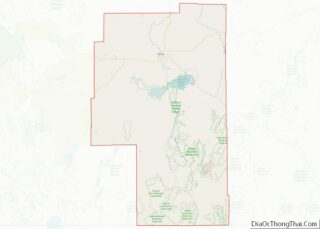
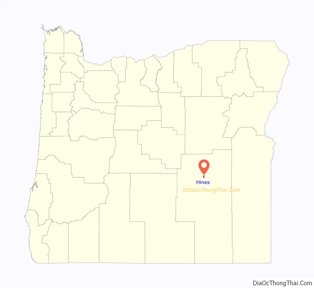
Hines location map. Where is Hines city?

History
A community named Herrick was formed just southwest of Burns when railroad promoter and sawmill operator Fred Herrick founded a lumber company there. Edward Hines bought the railroad and lumber company from Herrick in 1928, and a post office named Hines was established in 1931 to serve the Edward Hines Lumber Company mill and surrounding community. The mill has since changed hands at least two more times. The mill closed in 2006.
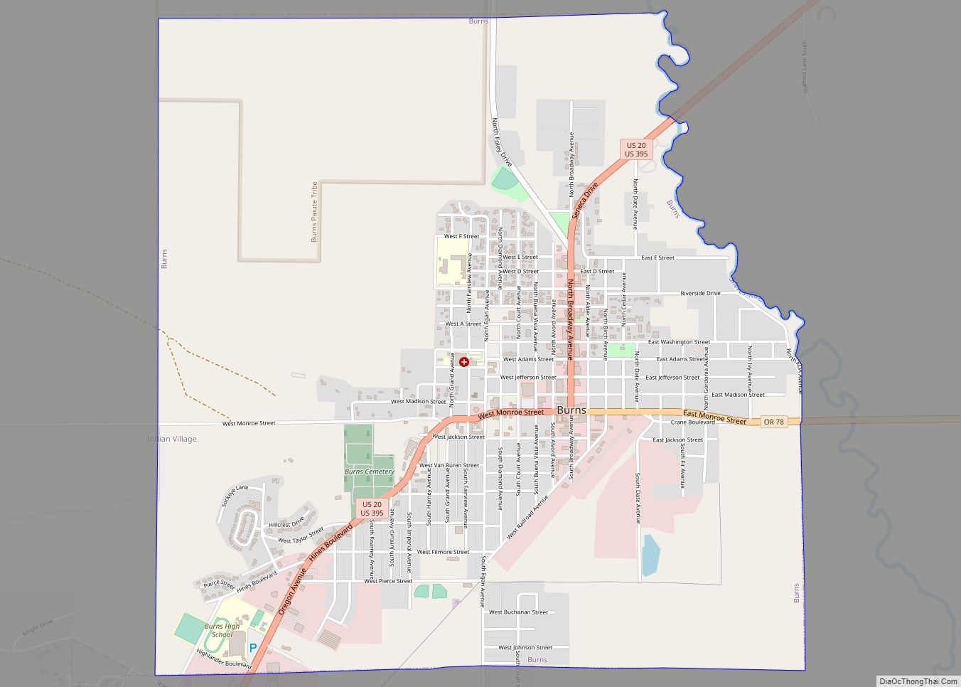
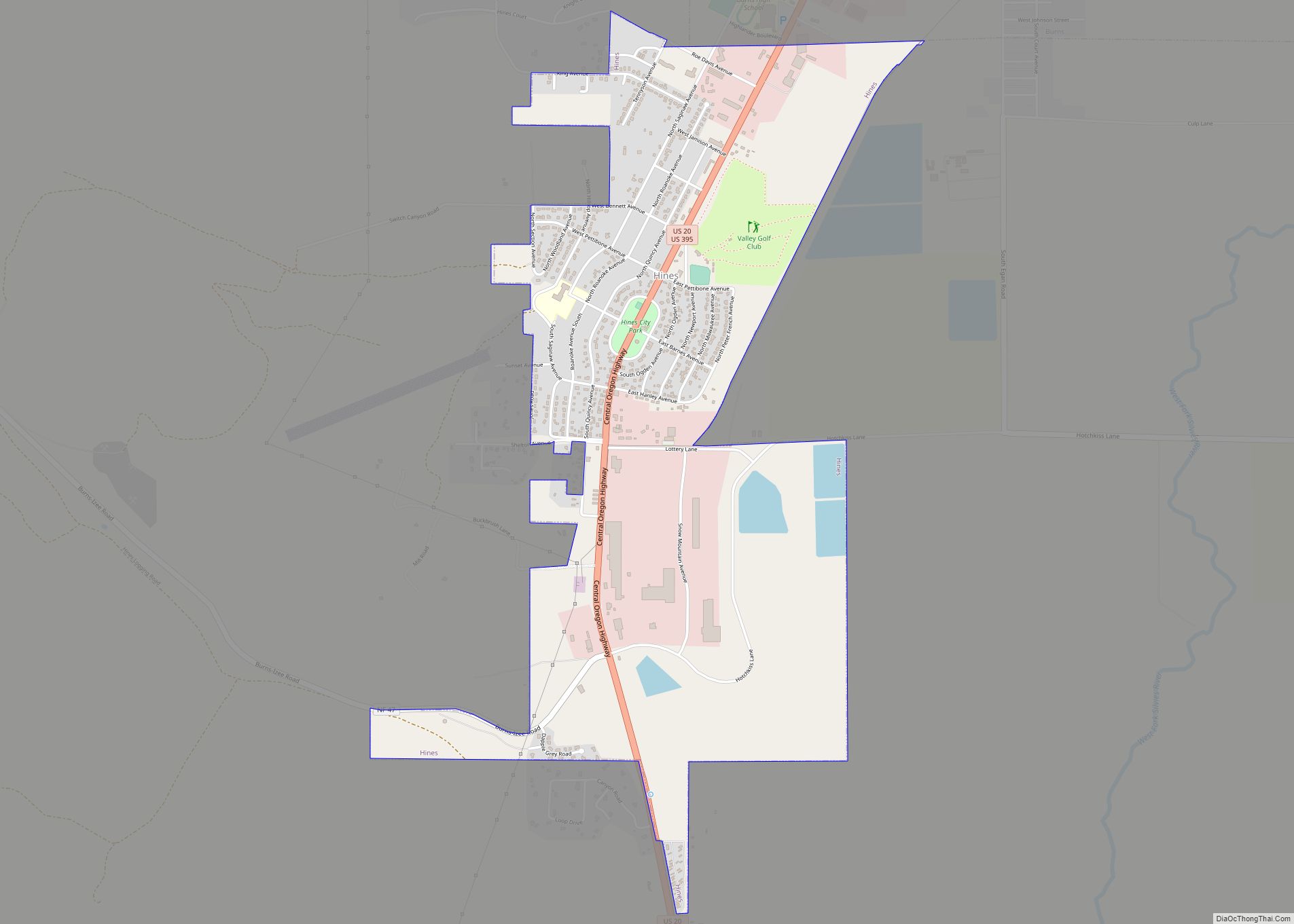
Hines Road Map

Hines city Satellite Map

Geography
According to the United States Census Bureau, the city has a total area of 2.13 square miles (5.52 km), of which, 2.08 square miles (5.39 km) is land and 0.05 square miles (0.13 km) is water.
See also
Map of Oregon State and its subdivision: Map of other states:- Alabama
- Alaska
- Arizona
- Arkansas
- California
- Colorado
- Connecticut
- Delaware
- District of Columbia
- Florida
- Georgia
- Hawaii
- Idaho
- Illinois
- Indiana
- Iowa
- Kansas
- Kentucky
- Louisiana
- Maine
- Maryland
- Massachusetts
- Michigan
- Minnesota
- Mississippi
- Missouri
- Montana
- Nebraska
- Nevada
- New Hampshire
- New Jersey
- New Mexico
- New York
- North Carolina
- North Dakota
- Ohio
- Oklahoma
- Oregon
- Pennsylvania
- Rhode Island
- South Carolina
- South Dakota
- Tennessee
- Texas
- Utah
- Vermont
- Virginia
- Washington
- West Virginia
- Wisconsin
- Wyoming