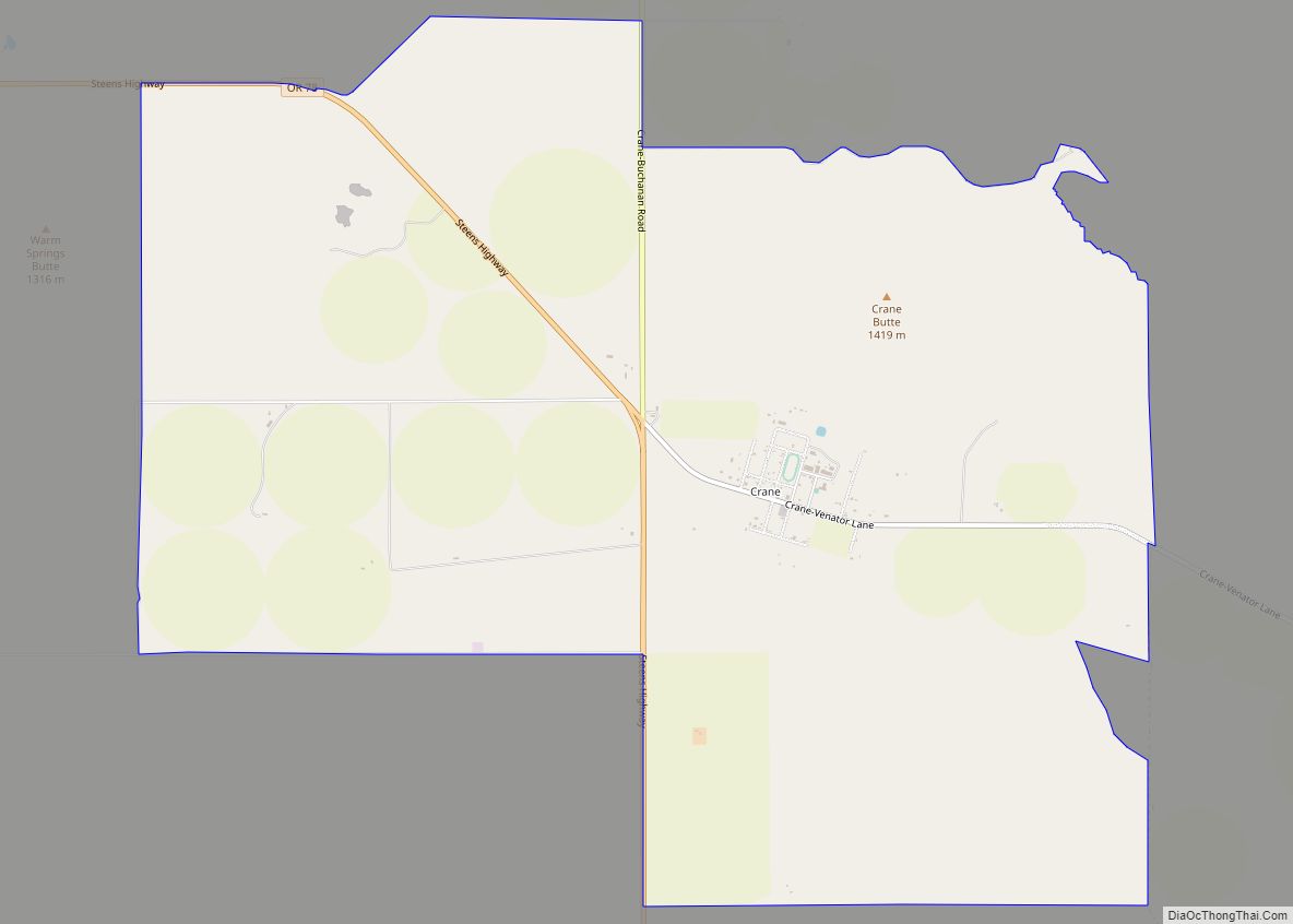
Crane is a census-designated place and unincorporated community in Harney County, Oregon, United States, northeast of Malheur Lake on Oregon Route 78. Its population was 116 at the 2020 census.
| Name: | Crane CDP |
|---|---|
| LSAD Code: | 57 |
| LSAD Description: | CDP (suffix) |
| State: | Oregon |
| County: | Harney County |
| Elevation: | 4,134 ft (1,260 m) |
| Total Area: | 10.42 sq mi (26.98 km²) |
| Land Area: | 10.42 sq mi (26.98 km²) |
| Water Area: | 0.00 sq mi (0.00 km²) |
| Total Population: | 116 |
| Population Density: | 11.14/sq mi (4.30/km²) |
| ZIP code: | 97732 |
| Area code: | 541 |
| FIPS code: | 4116450 |
Online Interactive Map
Click on ![]() to view map in "full screen" mode.
to view map in "full screen" mode.
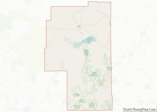
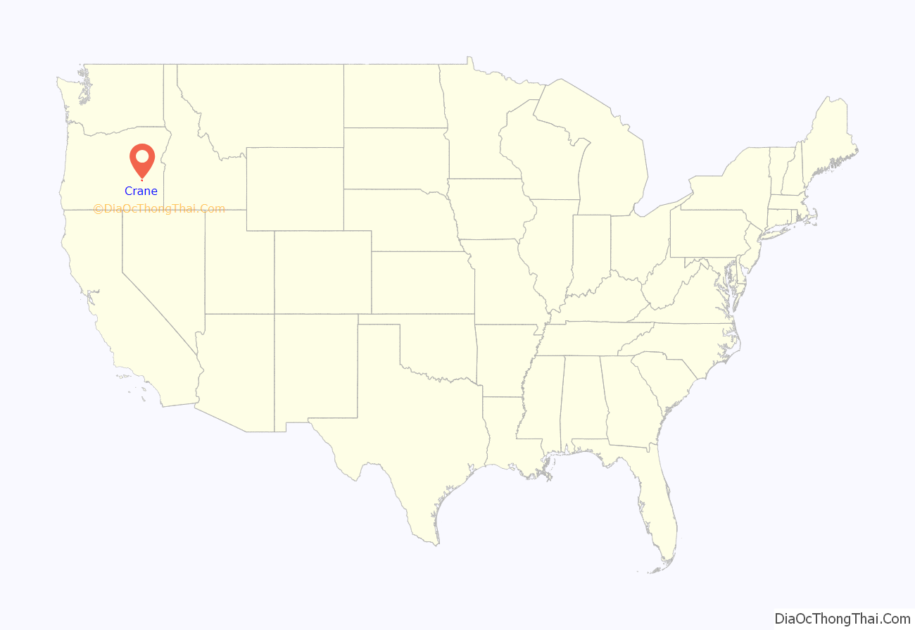
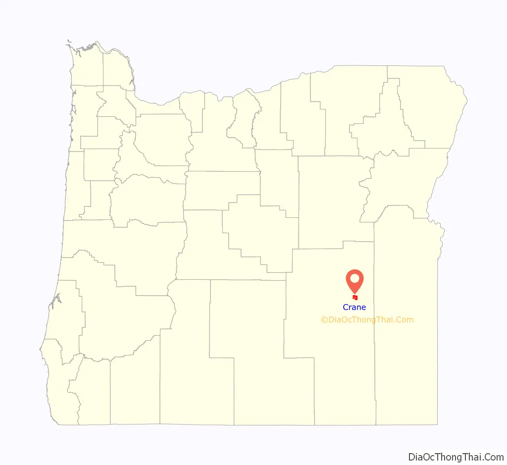
Crane location map. Where is Crane CDP?
History
Crane was named for the prominent local features Crane Creek and Crane Creek Gap. Crane Creek Gap is the pass between the Harney Basin and the drainage basin of the South Fork Malheur River. Crane Creek is probably named for the sandhill crane, which was once abundant in eastern Oregon. Crane post office was established in 1895 and discontinued in 1903. When the Union Pacific Railroad was completed from Ontario, Oregon, in 1916, the post office was reopened.
Until the railroad was finished to Burns in 1924, Crane was an important livestock shipping point, and the town was thriving with its five restaurants, four hotels, three garages, two general merchandise stores, a warehouse, a lumber yard, livery stables, a dance hall, a newspaper, a bank and a movie theater. After a series of fires, the latest in 1938, however, the town never returned to its former prosperity. As of 2011, the businesses in Crane included a post office, a gas station, which is combined with a café and tavern, a farm supply store, and a local realtor.
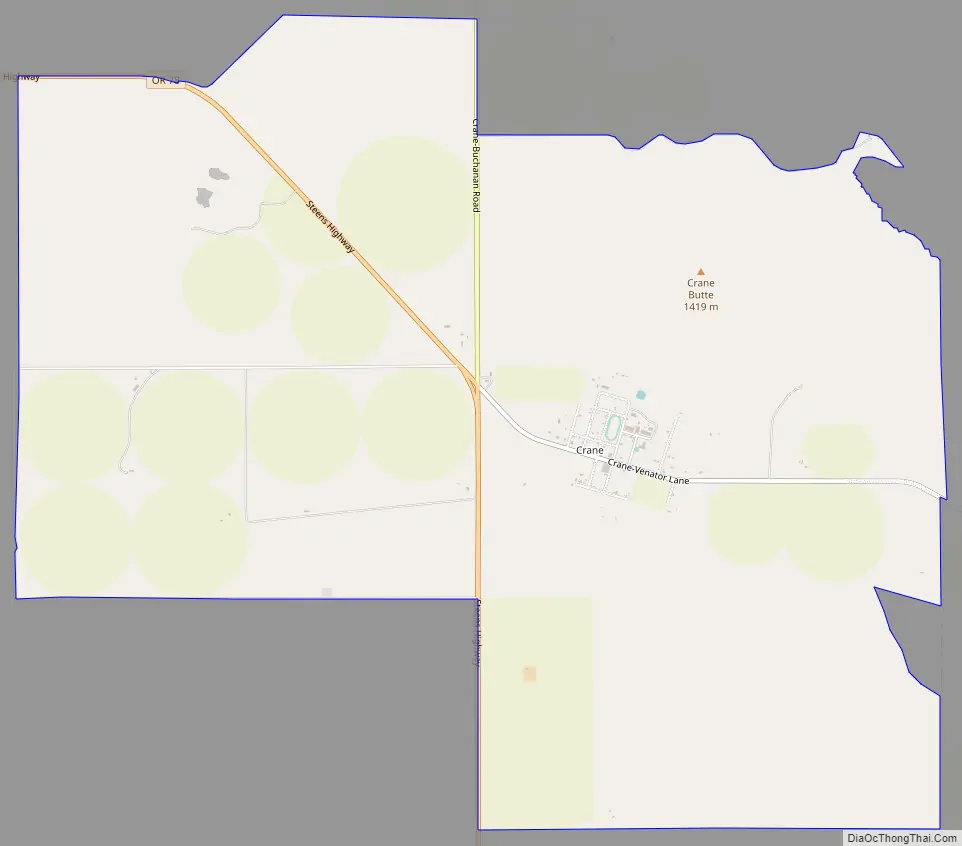
Crane Road Map
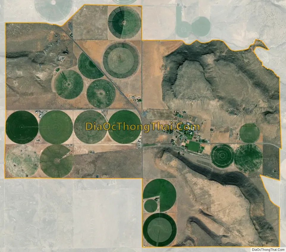
Crane city Satellite Map
Geography
Crane is in eastern Harney County along Oregon Route 78 (Steens Highway), which leads northwest 29 miles (47 km) to Burns, the county seat, and southeast 64 miles (103 km) to U.S. Route 95 at Burns Junction.
According to the U.S. Census Bureau, the Crane CDP has an area of 10.4 square miles (27.0 km), all of it land. It is 6 miles (10 km) northeast of Malheur Lake and 26 miles (42 km) by road northeast of the main entrance to Malheur National Wildlife Refuge.
See also
Map of Oregon State and its subdivision: Map of other states:- Alabama
- Alaska
- Arizona
- Arkansas
- California
- Colorado
- Connecticut
- Delaware
- District of Columbia
- Florida
- Georgia
- Hawaii
- Idaho
- Illinois
- Indiana
- Iowa
- Kansas
- Kentucky
- Louisiana
- Maine
- Maryland
- Massachusetts
- Michigan
- Minnesota
- Mississippi
- Missouri
- Montana
- Nebraska
- Nevada
- New Hampshire
- New Jersey
- New Mexico
- New York
- North Carolina
- North Dakota
- Ohio
- Oklahoma
- Oregon
- Pennsylvania
- Rhode Island
- South Carolina
- South Dakota
- Tennessee
- Texas
- Utah
- Vermont
- Virginia
- Washington
- West Virginia
- Wisconsin
- Wyoming