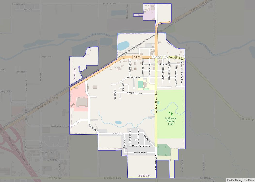
Imbler is a city in Union County, Oregon, United States. The population was 306 at the 2010 census.
| Name: | Imbler city |
|---|---|
| LSAD Code: | 25 |
| LSAD Description: | city (suffix) |
| State: | Oregon |
| County: | Union County |
| Incorporated: | 1922 |
| Elevation: | 2,725 ft (831 m) |
| Total Area: | 0.22 sq mi (0.56 km²) |
| Land Area: | 0.22 sq mi (0.56 km²) |
| Water Area: | 0.00 sq mi (0.00 km²) |
| Total Population: | 245 |
| Population Density: | 1,134.26/sq mi (437.88/km²) |
| ZIP code: | 97841 |
| Area code: | 541 |
| FIPS code: | 4136050 |
| GNISfeature ID: | 1143998 |
| Website: | www.imbleroregon.com |
Online Interactive Map
Click on ![]() to view map in "full screen" mode.
to view map in "full screen" mode.
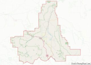
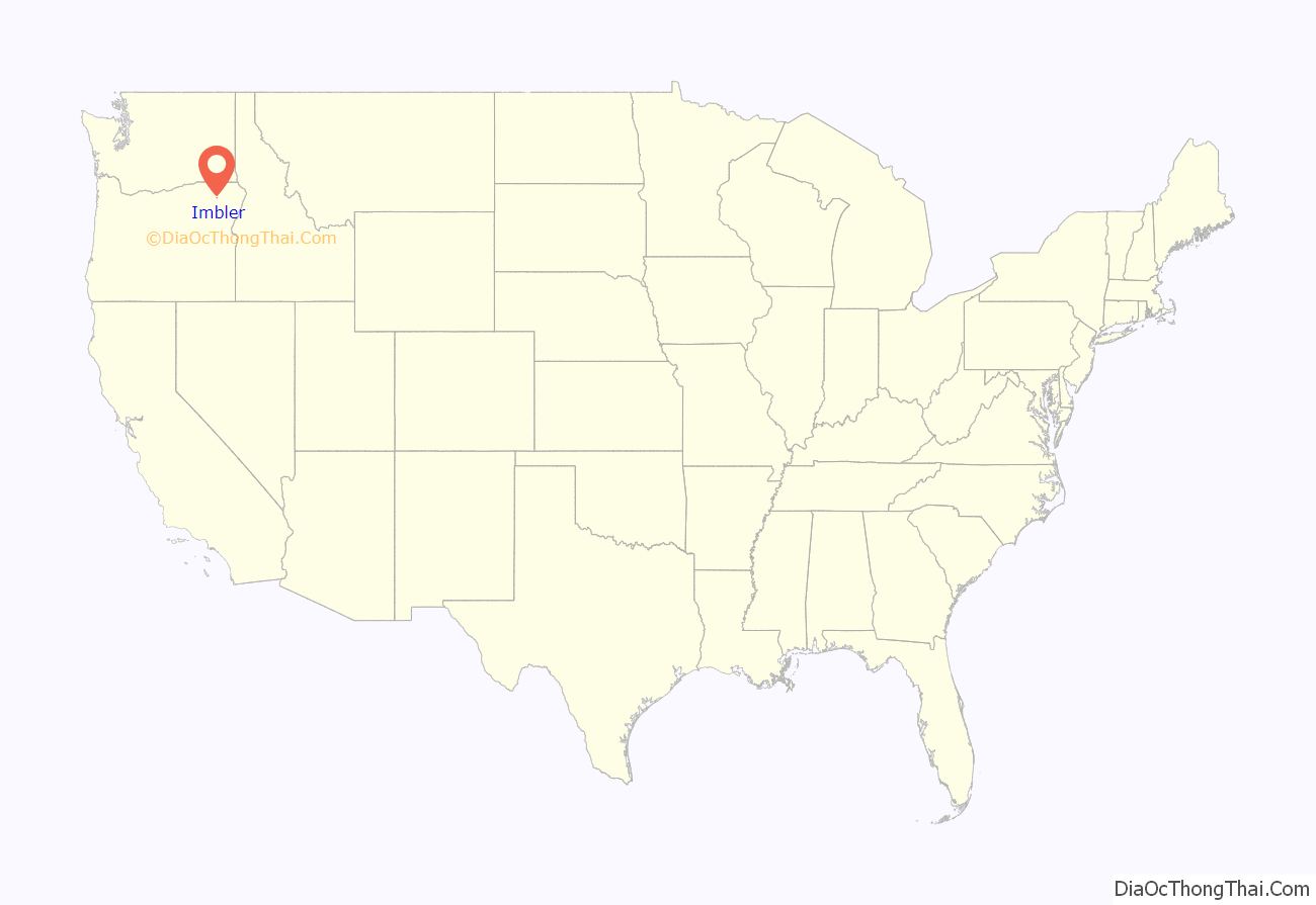
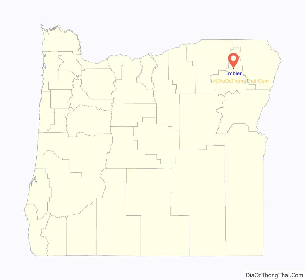
Imbler location map. Where is Imbler city?
History
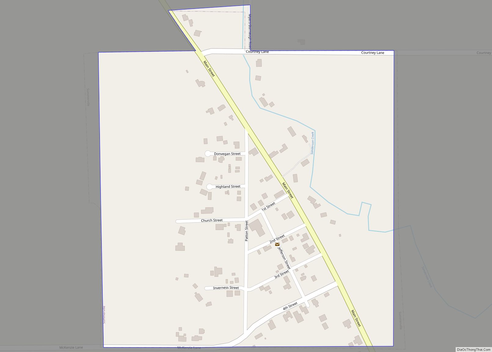
Imbler was platted in 1891. As Summerville declined, Imbler became the town serving locals in the northern Grande Ronde Valley.
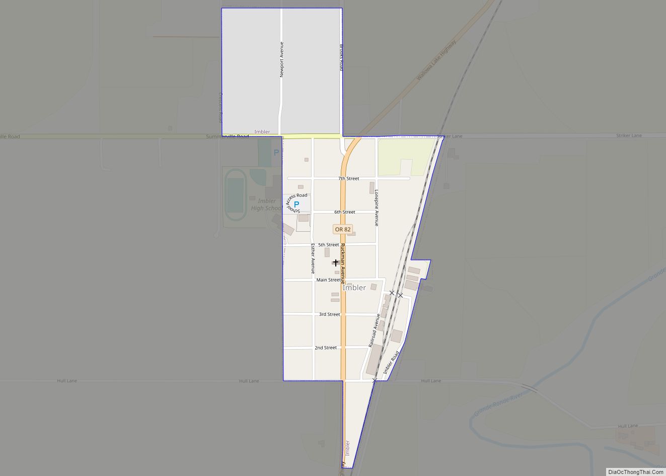
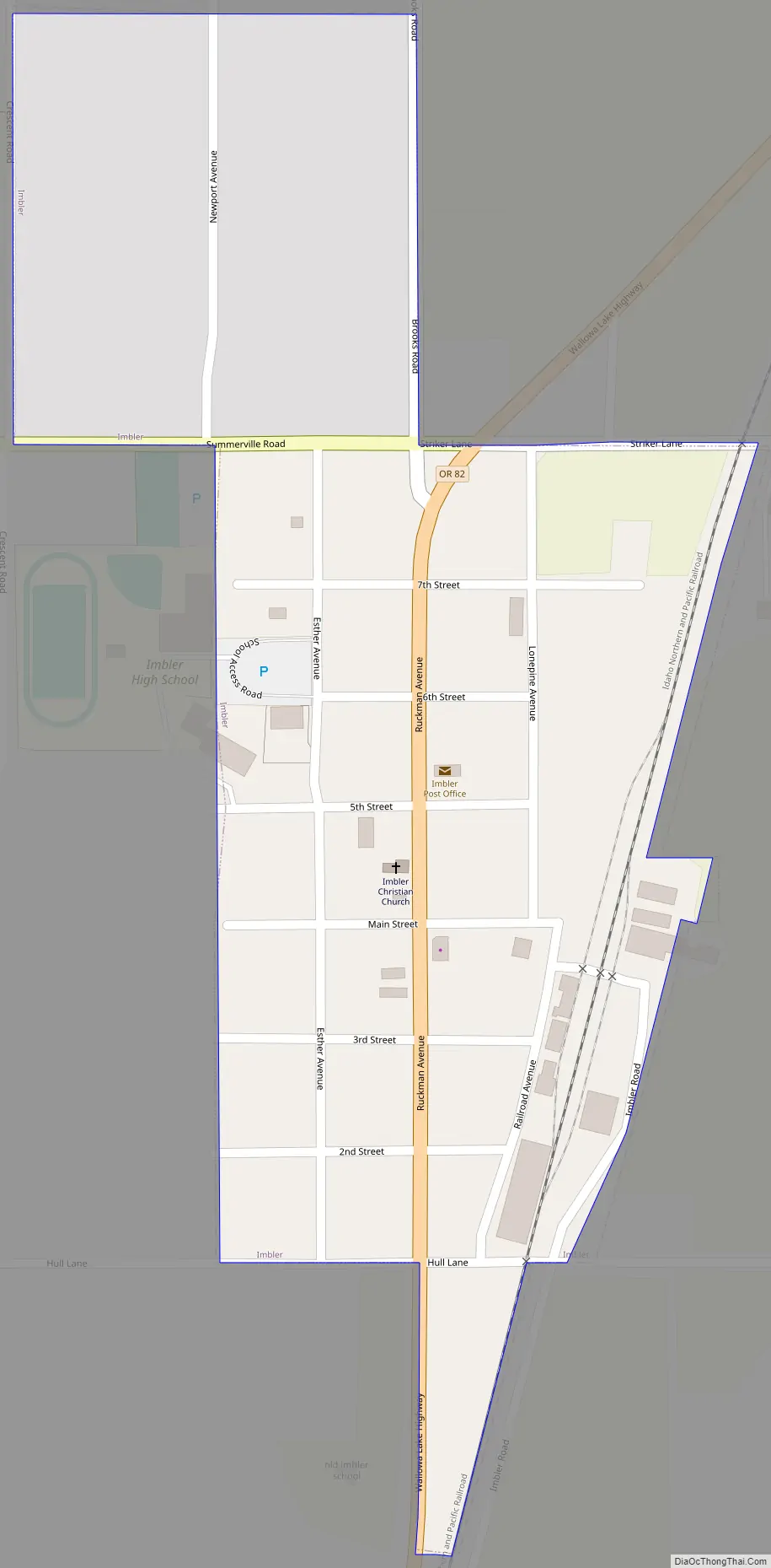
Imbler Road Map
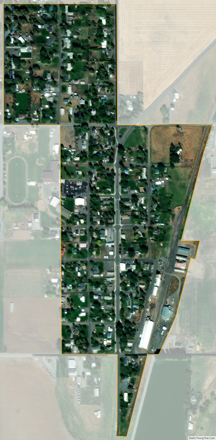
Imbler city Satellite Map
Geography
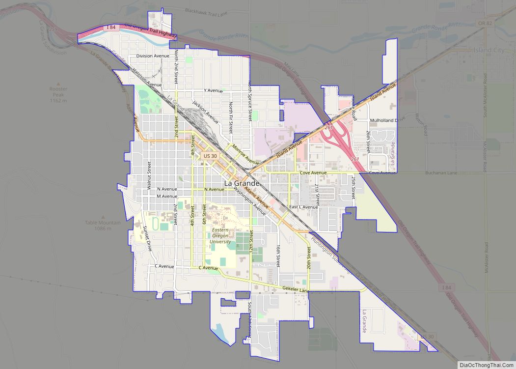
Imbler lies about 4 miles (6 km) southeast of Summerville at the intersection of Summerville Road with Oregon Route 82. The state highway connects Imbler with La Grande to the southwest and Elgin to the northeast. Flowing north slightly east of the city is the Grande Ronde River.
According to the United States Census Bureau, the city has a total area of 0.22 square miles (0.57 km), all of it land.
See also
Map of Oregon State and its subdivision: Map of other states:- Alabama
- Alaska
- Arizona
- Arkansas
- California
- Colorado
- Connecticut
- Delaware
- District of Columbia
- Florida
- Georgia
- Hawaii
- Idaho
- Illinois
- Indiana
- Iowa
- Kansas
- Kentucky
- Louisiana
- Maine
- Maryland
- Massachusetts
- Michigan
- Minnesota
- Mississippi
- Missouri
- Montana
- Nebraska
- Nevada
- New Hampshire
- New Jersey
- New Mexico
- New York
- North Carolina
- North Dakota
- Ohio
- Oklahoma
- Oregon
- Pennsylvania
- Rhode Island
- South Carolina
- South Dakota
- Tennessee
- Texas
- Utah
- Vermont
- Virginia
- Washington
- West Virginia
- Wisconsin
- Wyoming