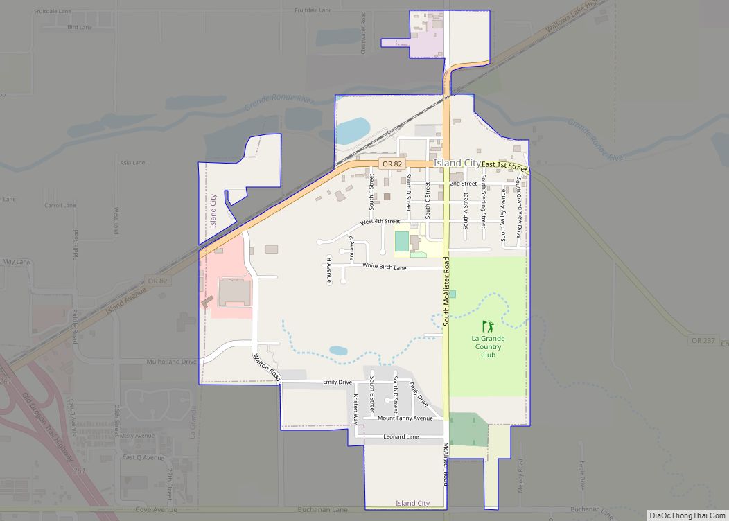
Island City is a city in Union County, Oregon, United States. Its name originated from the city’s location on an island between the Grande Ronde River and a nearby slough. However, the slough was later diverted, removing the city’s island status. The population was 989 at the 2010 census.
| Name: | Island City city |
|---|---|
| LSAD Code: | 25 |
| LSAD Description: | city (suffix) |
| State: | Oregon |
| County: | Union County |
| Incorporated: | 1904 |
| Elevation: | 2,743 ft (836 m) |
| Total Area: | 0.98 sq mi (2.55 km²) |
| Land Area: | 0.98 sq mi (2.55 km²) |
| Water Area: | 0.00 sq mi (0.00 km²) |
| Total Population: | 1,144 |
| Population Density: | 1,162.60/sq mi (448.86/km²) |
| ZIP code: | 97850 |
| Area code: | 458 and 541 |
| FIPS code: | 4136750 |
| GNISfeature ID: | 1164106 |
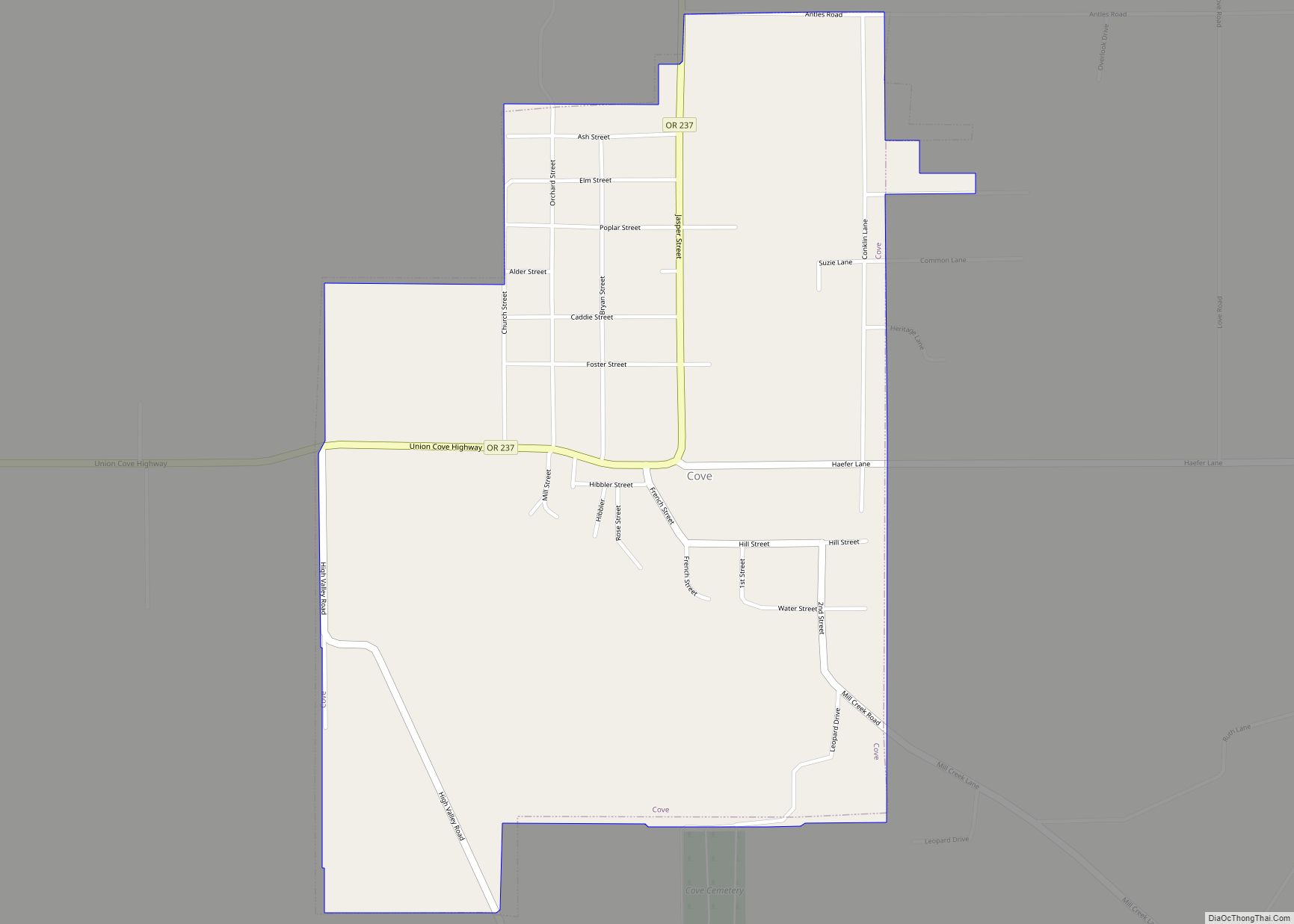
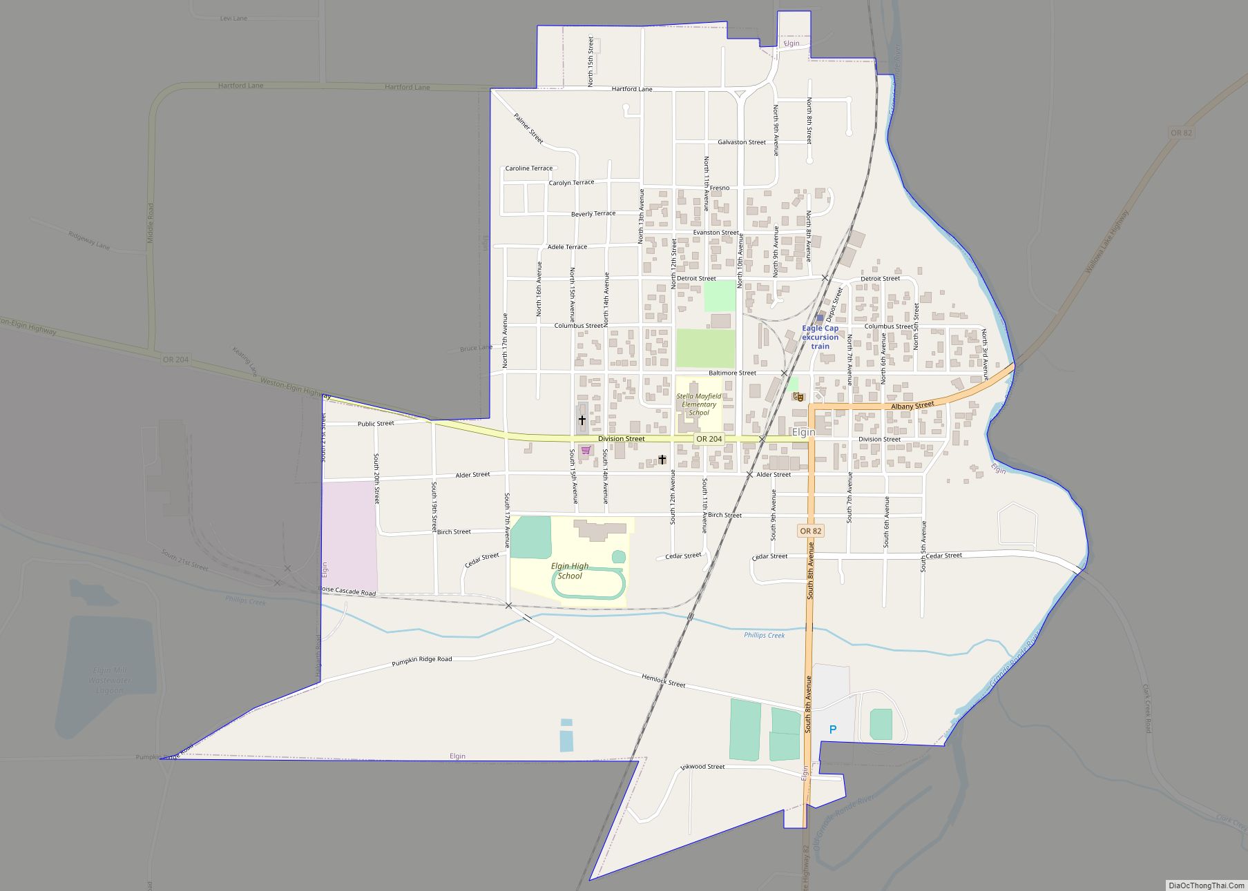
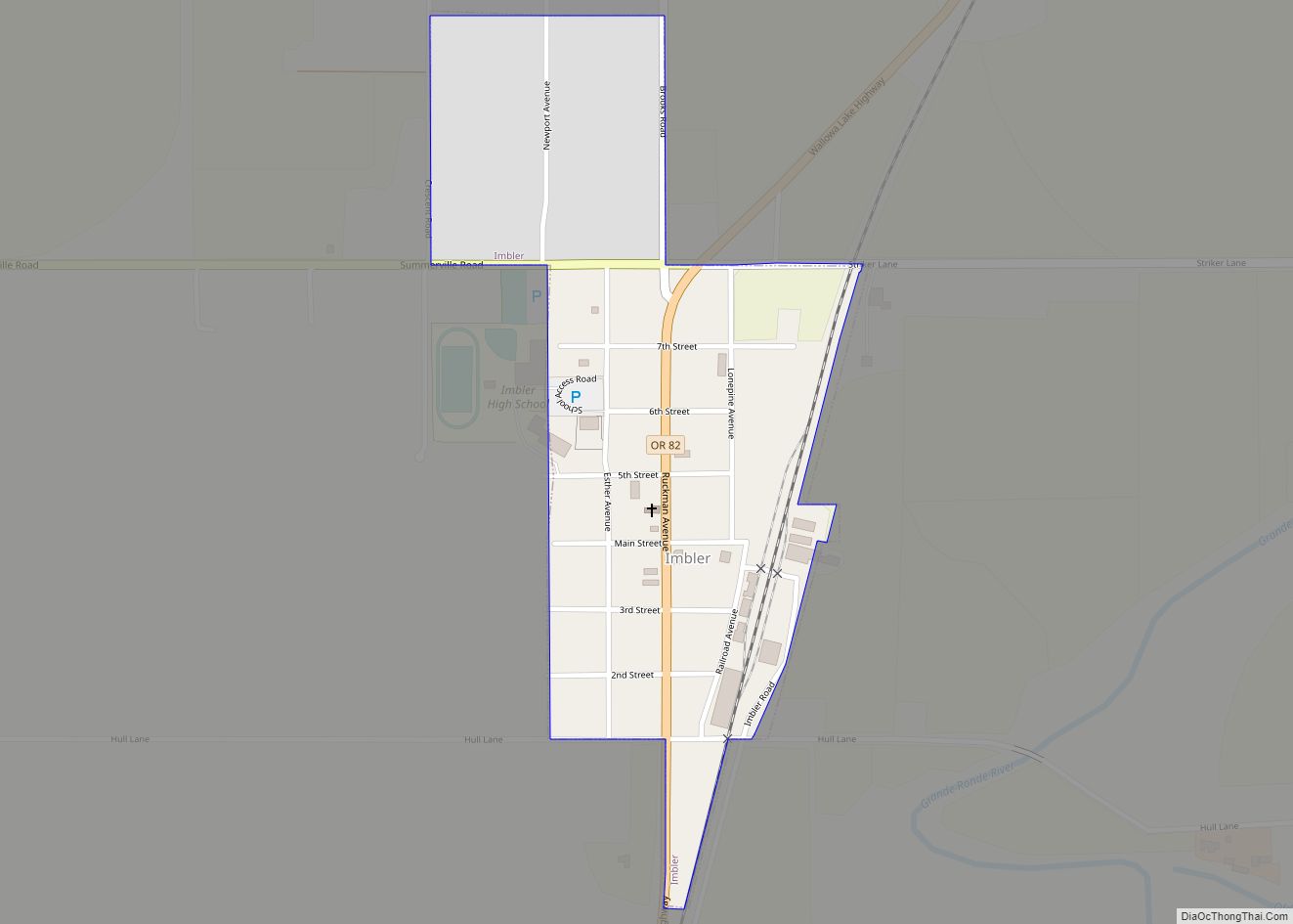
Online Interactive Map
Click on ![]() to view map in "full screen" mode.
to view map in "full screen" mode.
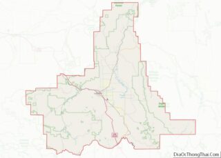
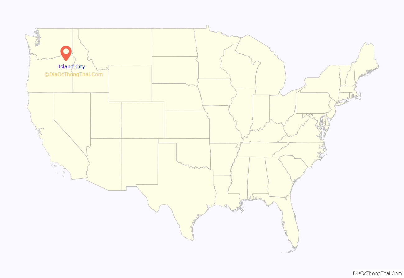
Island City location map. Where is Island City city?
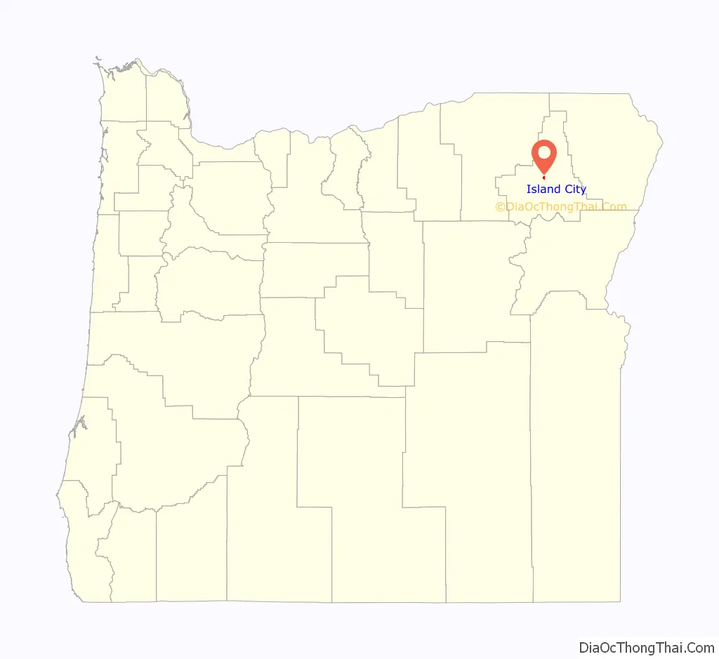
Island City Road Map
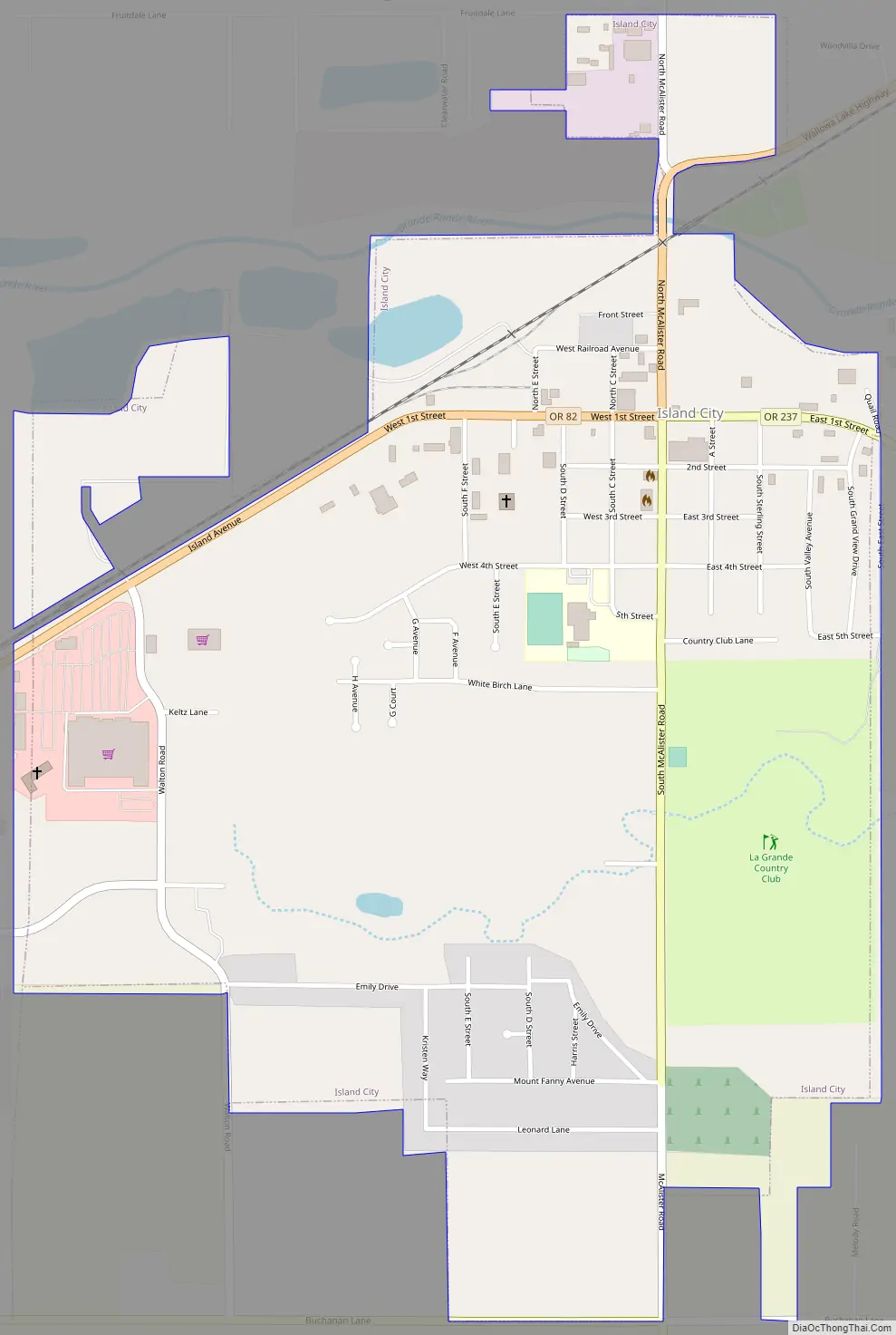
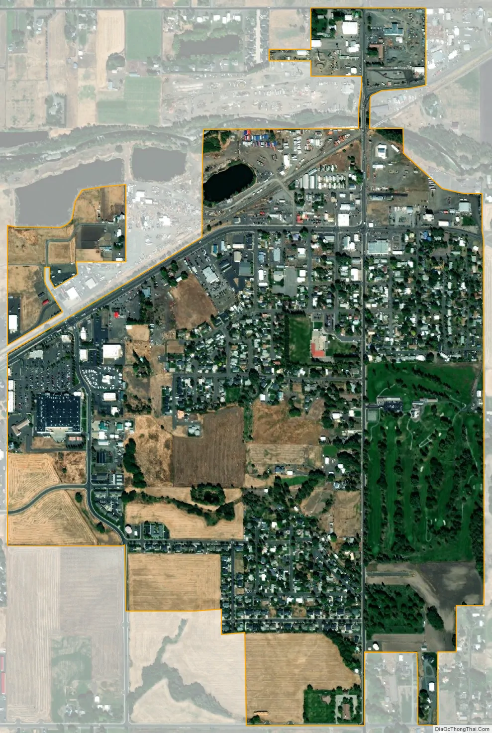
Island City city Satellite Map
Geography
Island City lies at the intersection of Oregon Route 82 and Oregon Route 237 on the northeastern outskirts of La Grande. According to the United States Census Bureau, the city has a total area of 0.98 square miles (2.54 km), all land.
See also
Map of Oregon State and its subdivision: Map of other states:- Alabama
- Alaska
- Arizona
- Arkansas
- California
- Colorado
- Connecticut
- Delaware
- District of Columbia
- Florida
- Georgia
- Hawaii
- Idaho
- Illinois
- Indiana
- Iowa
- Kansas
- Kentucky
- Louisiana
- Maine
- Maryland
- Massachusetts
- Michigan
- Minnesota
- Mississippi
- Missouri
- Montana
- Nebraska
- Nevada
- New Hampshire
- New Jersey
- New Mexico
- New York
- North Carolina
- North Dakota
- Ohio
- Oklahoma
- Oregon
- Pennsylvania
- Rhode Island
- South Carolina
- South Dakota
- Tennessee
- Texas
- Utah
- Vermont
- Virginia
- Washington
- West Virginia
- Wisconsin
- Wyoming