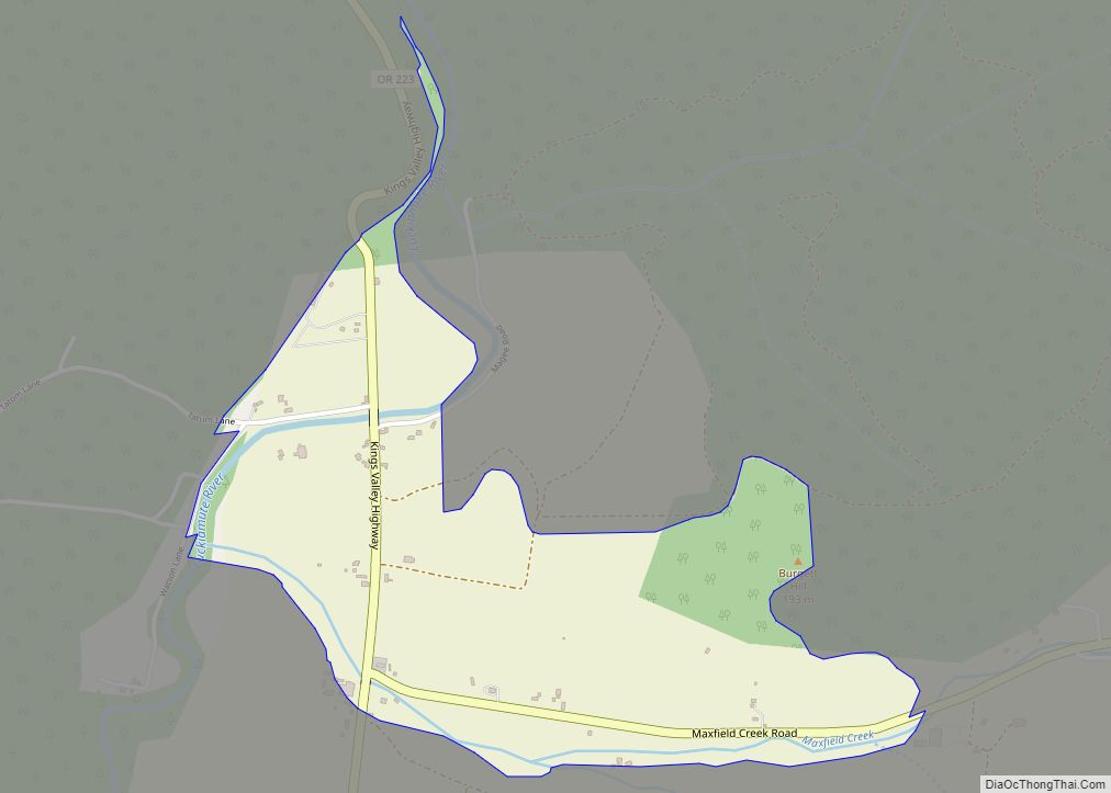
Kings Valley is an unincorporated community and census-designated place in Benton County, Oregon, United States. It is located on the Luckiamute River and Oregon Route 223, the Kings Valley Highway. As of the 2010 census it had a population of 65.
Kings Valley was named after its first settler, Nahum King, who took out a land claim there in 1846. A flour mill was built in the community in 1853. Kings Valley post office ran from 1855 to 1974.
Fort Hoskins Historic Park is nearby, in the former community of Hoskins.
The Valley and Siletz Railroad formerly ran through Kings Valley.
The K-12 Kings Valley Charter School is located in Kings Valley.
The Shrewsbury Renaissance Faire, originally located in nearby Philomath, now takes place in Kings Valley every September.
The Kings Valley Store is currently the only brick and mortar business open in Kings Valley.
Kings Valley had a tavern which burnt down in the 1980s, due to suspected arson, though the case was never solved.
| Name: | Kings Valley CDP |
|---|---|
| LSAD Code: | 57 |
| LSAD Description: | CDP (suffix) |
| State: | Oregon |
| County: | Benton County |
| FIPS code: | 4139350 |
Online Interactive Map
Click on ![]() to view map in "full screen" mode.
to view map in "full screen" mode.
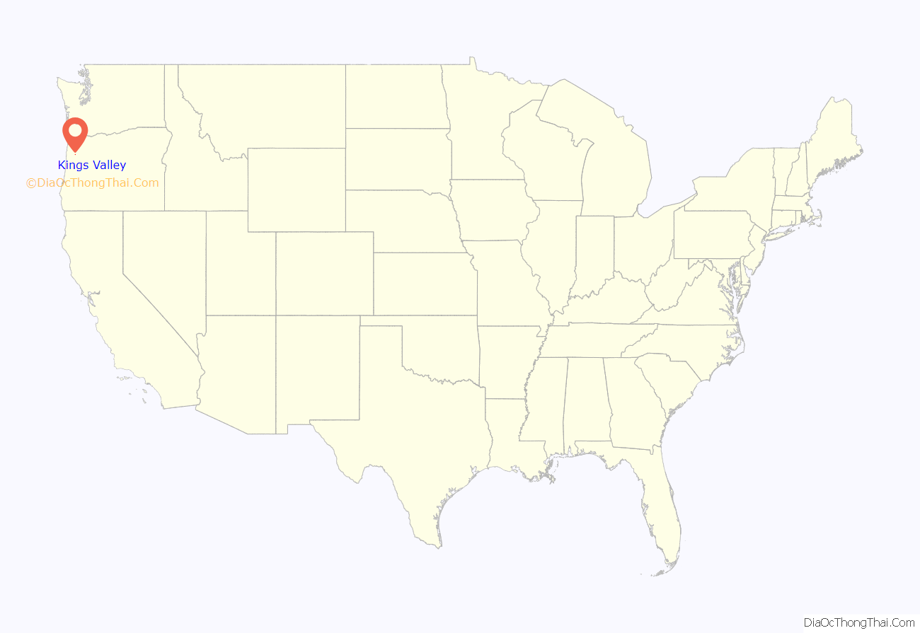
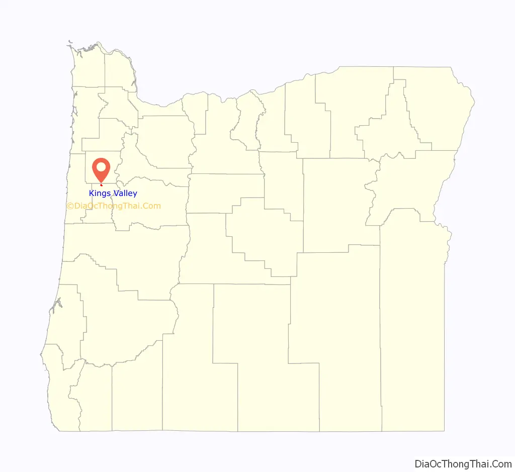
Kings Valley location map. Where is Kings Valley CDP?
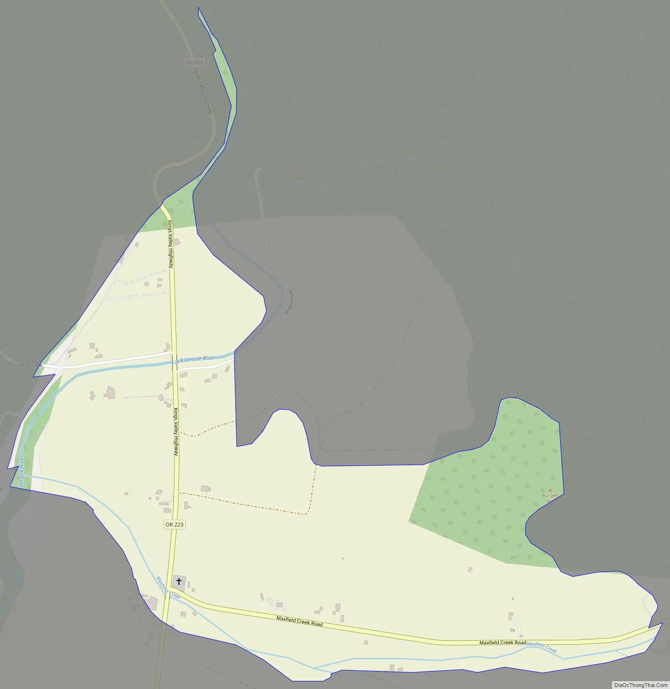
Kings Valley Road Map
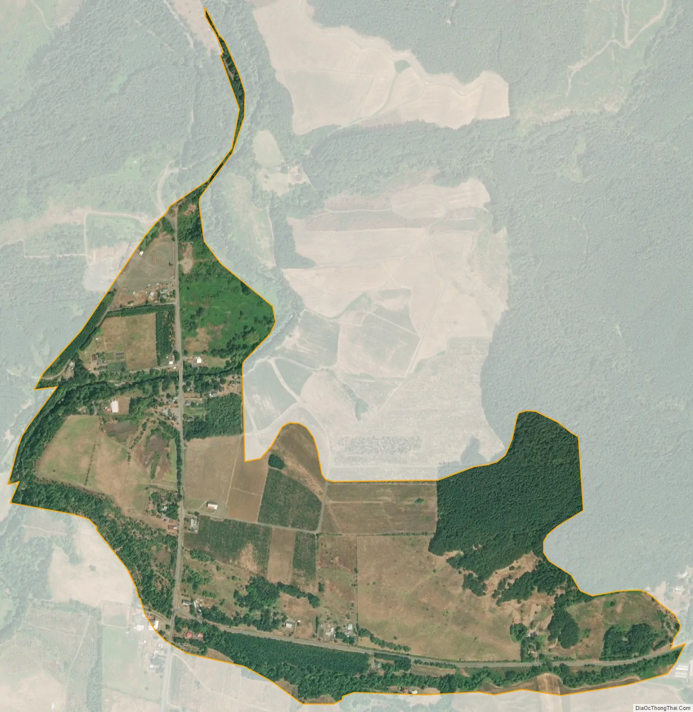
Kings Valley city Satellite Map
See also
Map of Oregon State and its subdivision: Map of other states:- Alabama
- Alaska
- Arizona
- Arkansas
- California
- Colorado
- Connecticut
- Delaware
- District of Columbia
- Florida
- Georgia
- Hawaii
- Idaho
- Illinois
- Indiana
- Iowa
- Kansas
- Kentucky
- Louisiana
- Maine
- Maryland
- Massachusetts
- Michigan
- Minnesota
- Mississippi
- Missouri
- Montana
- Nebraska
- Nevada
- New Hampshire
- New Jersey
- New Mexico
- New York
- North Carolina
- North Dakota
- Ohio
- Oklahoma
- Oregon
- Pennsylvania
- Rhode Island
- South Carolina
- South Dakota
- Tennessee
- Texas
- Utah
- Vermont
- Virginia
- Washington
- West Virginia
- Wisconsin
- Wyoming