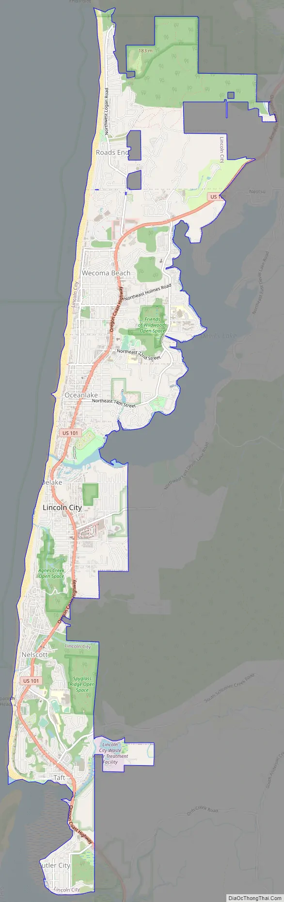
Lincoln City is a city in Lincoln County on the Oregon Coast of the United States, between Tillamook and Newport. It is named after the county, which was named in honor of former U.S. President Abraham Lincoln. The population was 9,815 at the 2020 Census.
| Name: | Lincoln City city |
|---|---|
| LSAD Code: | 25 |
| LSAD Description: | city (suffix) |
| State: | Oregon |
| County: | Lincoln County |
| Incorporated: | 1965 |
| Elevation: | 4 ft (1 m) |
| Total Area: | 6.08 sq mi (15.76 km²) |
| Land Area: | 6.05 sq mi (15.67 km²) |
| Water Area: | 0.03 sq mi (0.09 km²) |
| Total Population: | 9,815 |
| Population Density: | 1,622.31/sq mi (626.37/km²) |
| ZIP code: | 97367 |
| Area code: | 541/458 |
| FIPS code: | 4142600 |
| GNISfeature ID: | 1158323 |
| Website: | www.lincolncity.org |
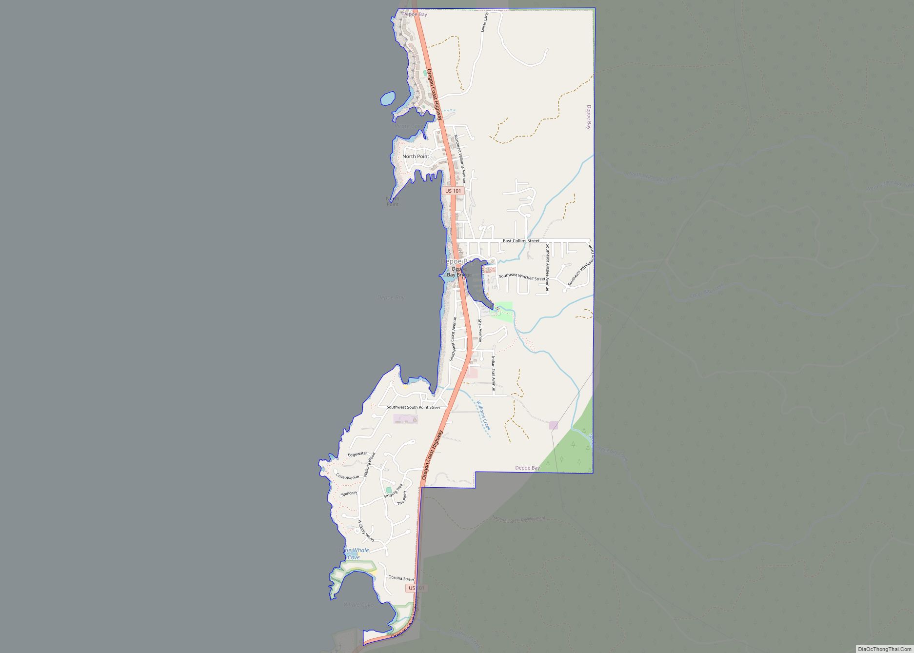
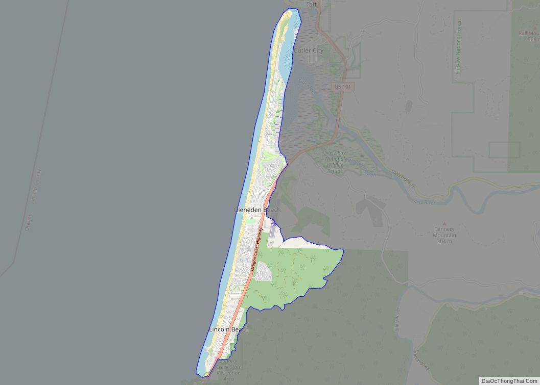
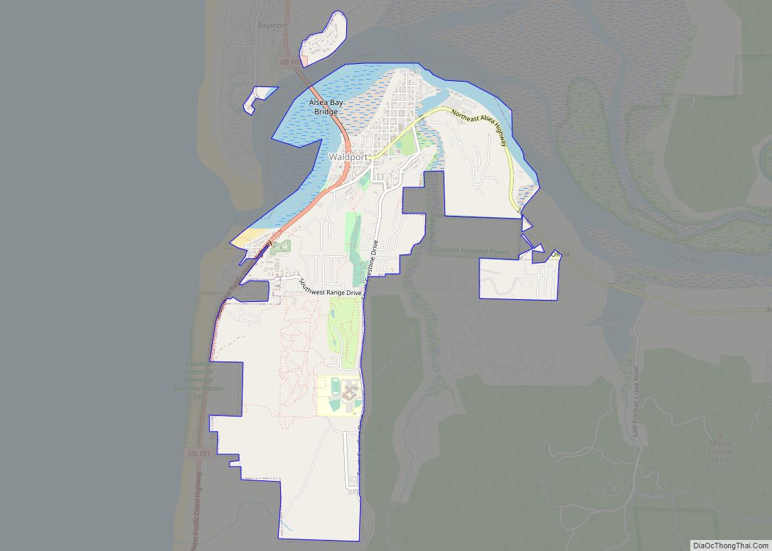
Online Interactive Map
Click on ![]() to view map in "full screen" mode.
to view map in "full screen" mode.
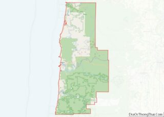
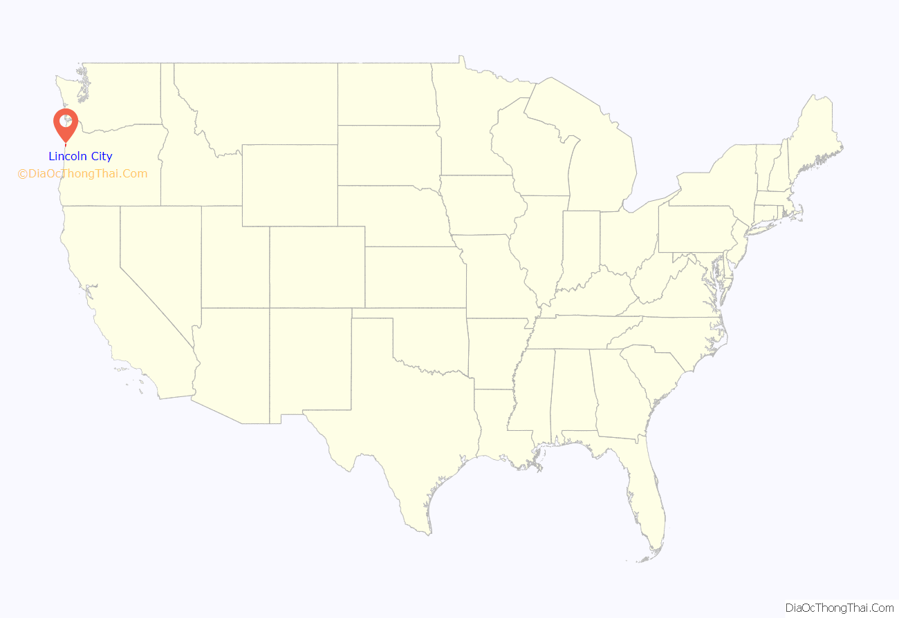
Lincoln City location map. Where is Lincoln City city?
History
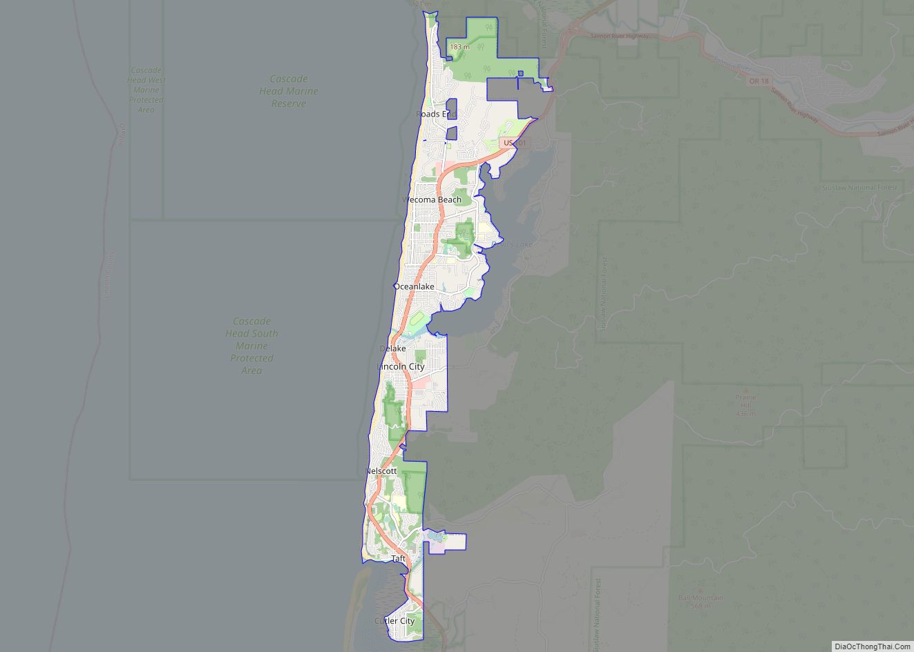
Lincoln City was incorporated on March 3, 1965, uniting the cities of Delake, Oceanlake and Taft, and the unincorporated communities of Cutler City and Nelscott. These were adjacent communities along U.S. Route 101, which serves as Lincoln City’s main street. The name “Lincoln City” was chosen from contest entries submitted by local school children. The contest was held when it was determined that using one of the five communities’ names would be too controversial.
Former communities
Cutler City is located on the east shore of Siletz Bay. The community was started by Mr. and Mrs. George Cutler. It is claimed they received the property from Chief Charles “Charley” DePoe of the Siletz tribe (part of the present-day Confederated Tribes of the Siletz). Cutler City post office ran from 1930 until the formation of Lincoln City.
Delake is near Devils Lake, and was named for the way the local Finnish people pronounced the name of the lake. Delake post office was established in 1924, and reestablished as Oceanlake (see below) in 1927.
Nelscott was named by combining the surnames of Charles P. Nelson and Dr. W.G. Scott, who founded the community in 1926. Nelscott post office ran from 1929 until incorporation as Lincoln City. Nelscott Reef is known for its surf and was in Surfer Magazine in 2003 as one of the Pacific Ocean’s best places to surf.
Oceanlake was named for its position between Devils Lake and the Pacific Ocean. Its post office ran from 1927 until incorporation as Lincoln City. In 1945, Oceanlake annexed Wecoma Beach and incorporated as a city. The neighborhood is home to Oceanlake Elementary School.
Taft was named for the 27th U.S. president William Howard Taft. Taft post office was established in 1906, and was named when Taft was Secretary of War. The post office ran until incorporation as Lincoln City.
Oceanlake annexed Wecoma Beach, a community to the north, and was incorporated on November 3, 1945. Wecoma is a Chinook jargon word meaning “sea”. The post office at this locale was originally named Wecoma. It was changed to Wecoma Beach in 1949. The office is no longer in operation.
On July 1, 2013, Lincoln City forcibly annexed the Roads End community to its north, by informing homeowners they would not receive water service, unless the owner consented to the annexation. The annexation also created a special zoning area for Roads End.
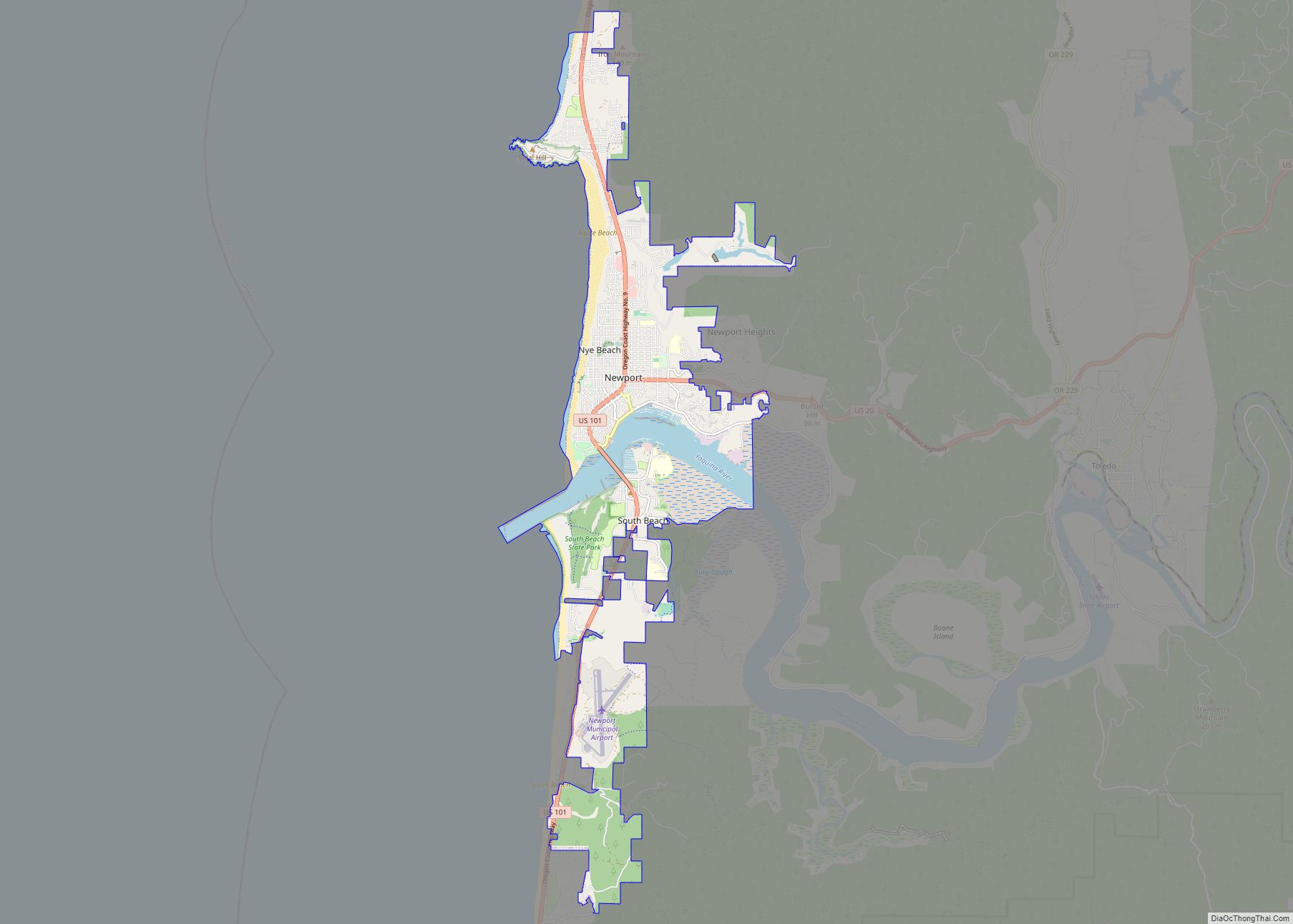
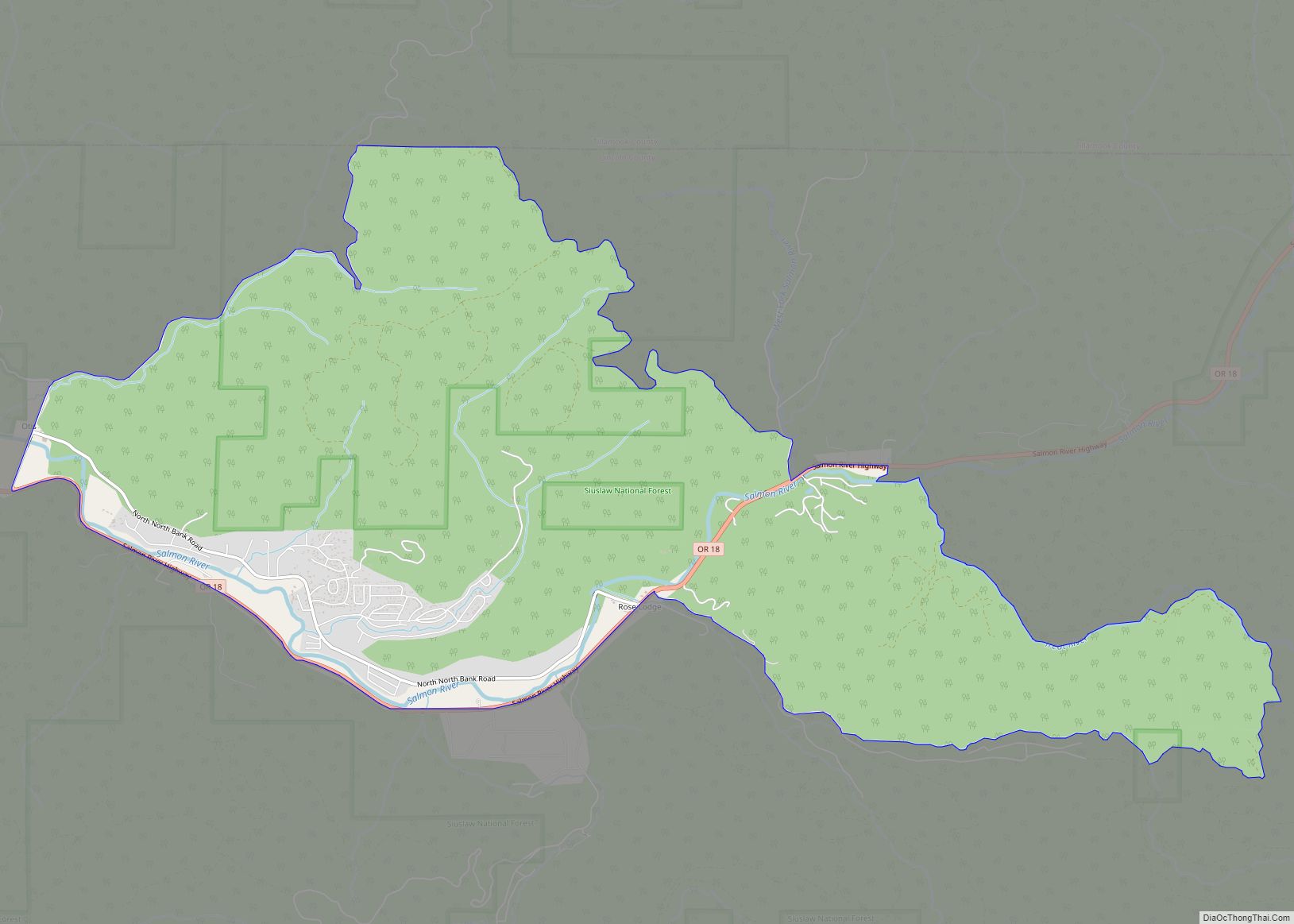
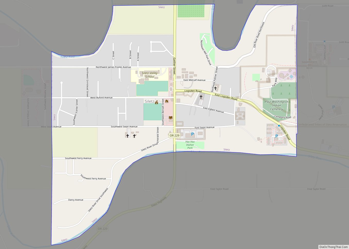
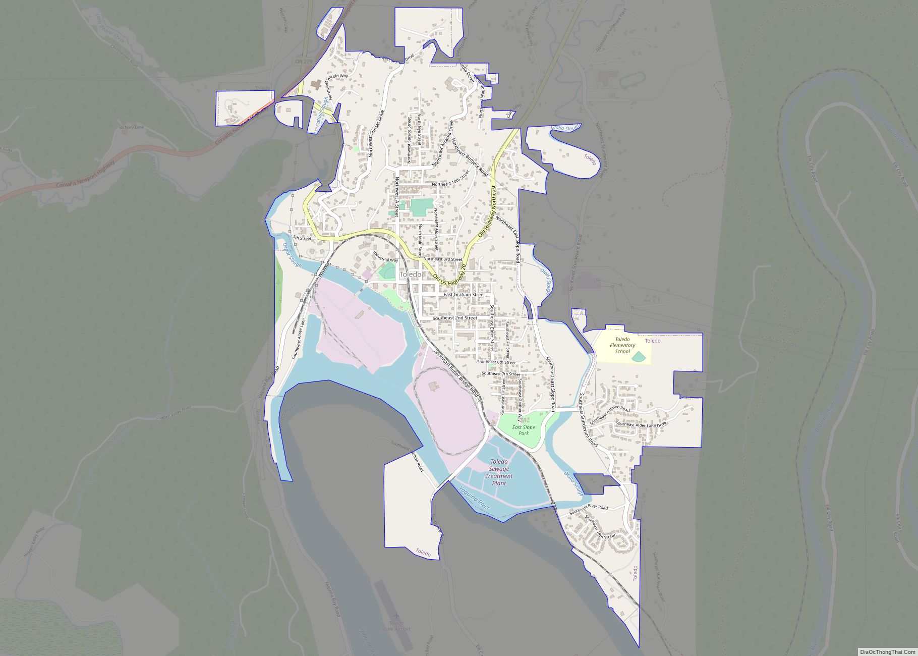
Lincoln City Road Map
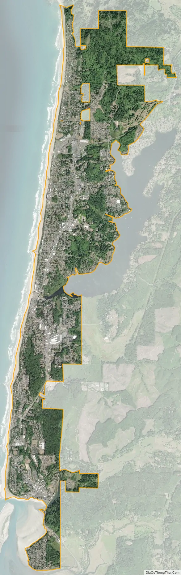
Lincoln City city Satellite Map
Geography
According to the United States Census Bureau, the city has a total area of 5.68 square miles (14.71 km), of which, 5.65 square miles (14.63 km) is land and 0.03 square miles (0.08 km) is water.
Lincoln City is home to one of the world’s shortest rivers, the D River, connecting Devil’s Lake with the Pacific Ocean.
Climate
The average low temperature in December, the coldest month, is 37 °F (3 °C), and in August, the warmest month, the average high is 69 °F (21 °C). The driest month on average is July, with December the wettest. The average annual precipitation is 76.21 inches (1,936 mm). The average July afternoon humidity is 75%, and the average January afternoon humidity is 84%. The record high in Lincoln City is 100 °F (38 °C), observed on August 2, 2017, while the record low of 4 °F (−16 °C) was observed on January 31, 1950 and December 8, 1972.
See also
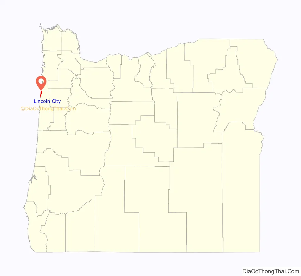
Map of Oregon State and its subdivision: Map of other states:- Alabama
- Alaska
- Arizona
- Arkansas
- California
- Colorado
- Connecticut
- Delaware
- District of Columbia
- Florida
- Georgia
- Hawaii
- Idaho
- Illinois
- Indiana
- Iowa
- Kansas
- Kentucky
- Louisiana
- Maine
- Maryland
- Massachusetts
- Michigan
- Minnesota
- Mississippi
- Missouri
- Montana
- Nebraska
- Nevada
- New Hampshire
- New Jersey
- New Mexico
- New York
- North Carolina
- North Dakota
- Ohio
- Oklahoma
- Oregon
- Pennsylvania
- Rhode Island
- South Carolina
- South Dakota
- Tennessee
- Texas
- Utah
- Vermont
- Virginia
- Washington
- West Virginia
- Wisconsin
- Wyoming