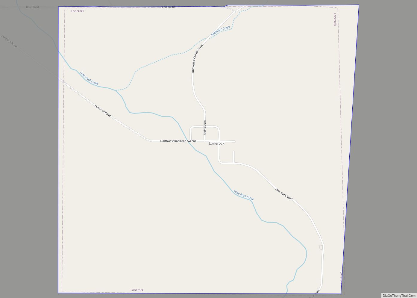
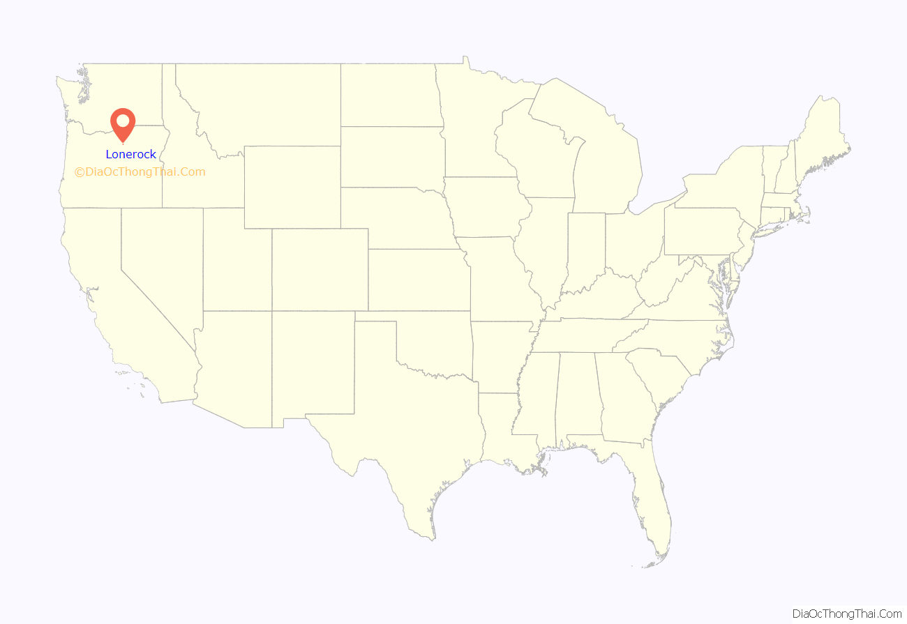
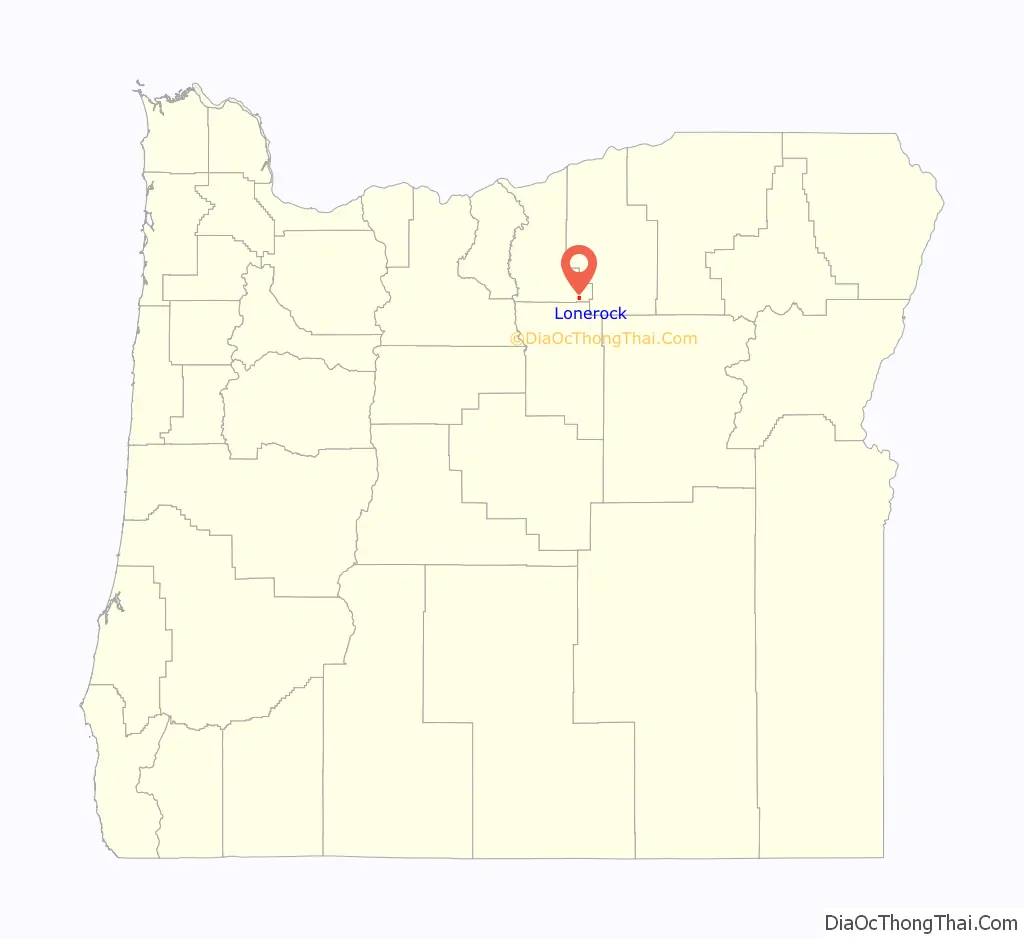
Lonerock is a city in Gilliam County, Oregon, United States, twenty miles east of Condon. The population was 21 at the 2010 census.
| Name: | Lonerock city |
|---|---|
| LSAD Code: | 25 |
| LSAD Description: | city (suffix) |
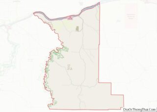
| State: | Oregon |
| County: | Gilliam County |
| Incorporated: | 1901 |
| Elevation: | 2,800 ft (900 m) |
| Total Area: | 1.01 sq mi (2.62 km²) |
| Land Area: | 1.01 sq mi (2.62 km²) |
| Water Area: | 0.00 sq mi (0.00 km²) |
| Total Population: | 25 |
| Population Density: | 24.73/sq mi (9.55/km²) |
| ZIP code: | 97823 |
| Area code: | 458 and 541 |
| FIPS code: | 4143400 |
| GNISfeature ID: | 1145373 |
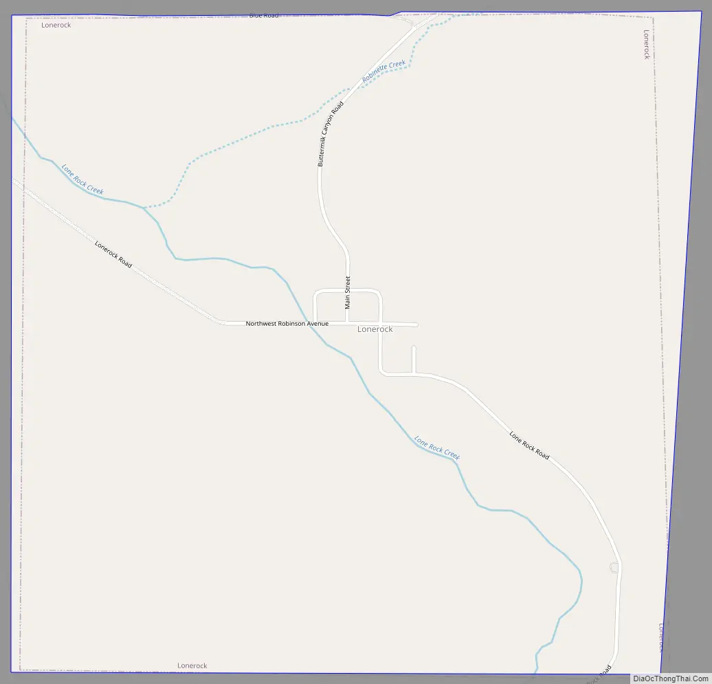
Online Interactive Map
Click on ![]() to view map in "full screen" mode.
to view map in "full screen" mode.
Lonerock location map. Where is Lonerock city?
History
The settlement began in the early 1870s, as a service center for the surrounding ranches. It was platted in 1882 as “Lone Rock”, named for an unusual, 35-foot (11 m)-high rock that still stands in the town near the old Methodist church. The U.S. Postal Service had a preference for one-word names, so name of the post office was “Lonerock”, which eventually became the community’s official name. The city’s population grew from 68 in 1900 to 70 in 1910, 73 in 1920, to a high of 82 in 1930. By 1940, Lonerock’s population dwindled to 46, dropped to 38 in 1950, 31 in 1960, and to 12 residents in 1970. The population increased to 26 citizens in 1980, before falling to 11 in the 1990 census.
The first settlers to the area arrived in 1871. The Lonerock area, in a valley cut by a small stream, was lush with grasses, and the surrounding hills abounded with game animals. In 1874, Edward Wineland erected a water-powered sawmill at Lonerock, which allowed construction and settlement to thrive – a post office was established in 1875.
In 1878, the area’s Native Americans began pushing back on the intruding settlers, causing many to flee to The Dalles. The US Army was called on to protect the remaining inhabitants, and by 1882 the area was secured and the town was incorporated, one of the county’s first. Postmaster RG Robinson was elected mayor of the new government.
In 1888, a two-room school building was erected, and 1-12 grade education was provided. The school’s final graduation was in 1932. In 1898, Reverend Deuse joined the community and built a Methodist church that held weekly services for many years. As of 2020, the church still stands, and occasionally holds services. The small white church has become as iconic to the Lonerock community as the rock itself.
In July 1896, the town was almost destroyed by fire. The entire business portion burned and only a few dwellings were left on the outskirts of town. The blaze was reportedly started by a boy playing with matches.
By 1900, the town’s population stood at 68; new settlers were arriving and several businesses operated within its limits. Many of the surrounding homesteads had become successful ranches and farms that occupied thousands of acres on the surrounding hillsides. A varied economy was arising, including hunting for sport, fishing, and winter sledding. An annual rodeo, held on the middle of Main Street, became a popular event, attracting participants and spectators from the surrounding area. By the 1920s, rodeos in the surrounding areas grew larger and Lonerock’s annual rodeo was no longer the main attraction; its final year was 1934. The economy also declined as businesses and activities migrated to larger settlements in the area. The town’s population shrank by nearly half from 1930 to 1940.
Early settlers from Scotland formed much of the sheep-based early economy. This part of the economy gradually evaporated due to a mixture of fluctuating sheep prices and the increased prevalence of cattle raising in the area. The lush grasses on the area’s hillsides allowed cattle raising, which currently accounts for nearly all the city’s economy. The other part of the agricultural economy is hay production. Lonerock’s climate would not support hay farming at first, but the introduction of various irrigation methods in the Lonerock valley allowed alfalfa to thrive.
Lonerock Road Map
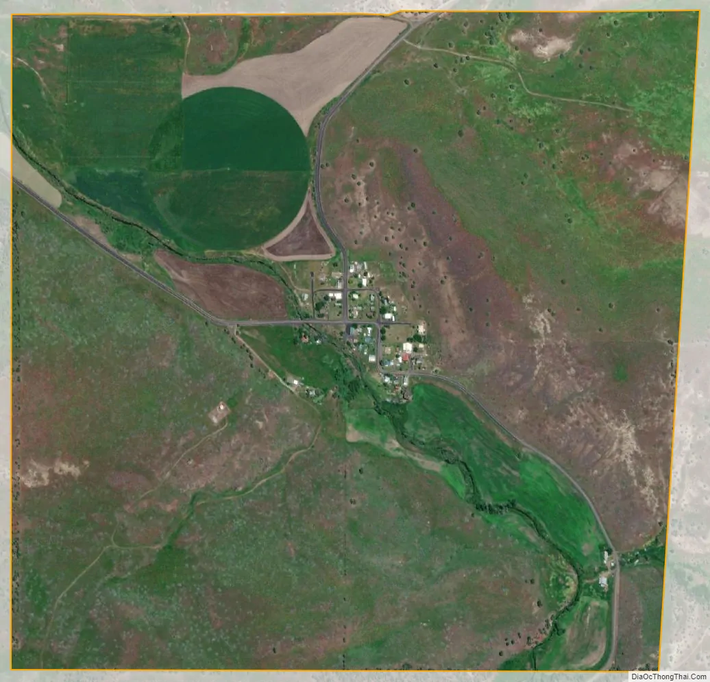
Lonerock city Satellite Map
Geography
According to the United States Census Bureau, the city has a total area of 1.01 square miles (2.62 km), all of it land.
See also
Map of Oregon State and its subdivision: Map of other states:- Alabama
- Alaska
- Arizona
- Arkansas
- California
- Colorado
- Connecticut
- Delaware
- District of Columbia
- Florida
- Georgia
- Hawaii
- Idaho
- Illinois
- Indiana
- Iowa
- Kansas
- Kentucky
- Louisiana
- Maine
- Maryland
- Massachusetts
- Michigan
- Minnesota
- Mississippi
- Missouri
- Montana
- Nebraska
- Nevada
- New Hampshire
- New Jersey
- New Mexico
- New York
- North Carolina
- North Dakota
- Ohio
- Oklahoma
- Oregon
- Pennsylvania
- Rhode Island
- South Carolina
- South Dakota
- Tennessee
- Texas
- Utah
- Vermont
- Virginia
- Washington
- West Virginia
- Wisconsin
- Wyoming