Myrtle Point is a city in Coos County, Oregon, United States, established in 1887. The population was 2,514 at the 2010 census. Located in the Coquille River Valley, Myrtle Point is part of the Coos Bay/North Bend/Charleston Metropolitan Statistical Area, which consists of all of Coos County.
| Name: | Myrtle Point city |
|---|---|
| LSAD Code: | 25 |
| LSAD Description: | city (suffix) |
| State: | Oregon |
| County: | Coos County |
| Incorporated: | 1887 |
| Elevation: | 128 ft (39 m) |
| Total Area: | 1.62 sq mi (4.19 km²) |
| Land Area: | 1.61 sq mi (4.16 km²) |
| Water Area: | 0.01 sq mi (0.03 km²) |
| Total Population: | 2,475 |
| Population Density: | 1,540.14/sq mi (594.62/km²) |
| ZIP code: | 97458 |
| Area code: | 458 and 541 |
| FIPS code: | 4151050 |
| GNISfeature ID: | 2411205 |
| Website: | http://www.ci.myrtlepoint.or.us/ |
Online Interactive Map
Click on ![]() to view map in "full screen" mode.
to view map in "full screen" mode.
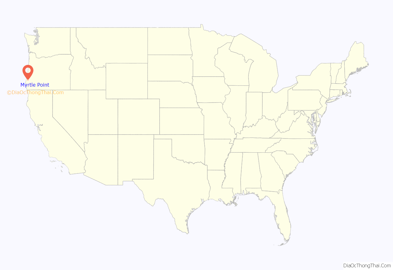
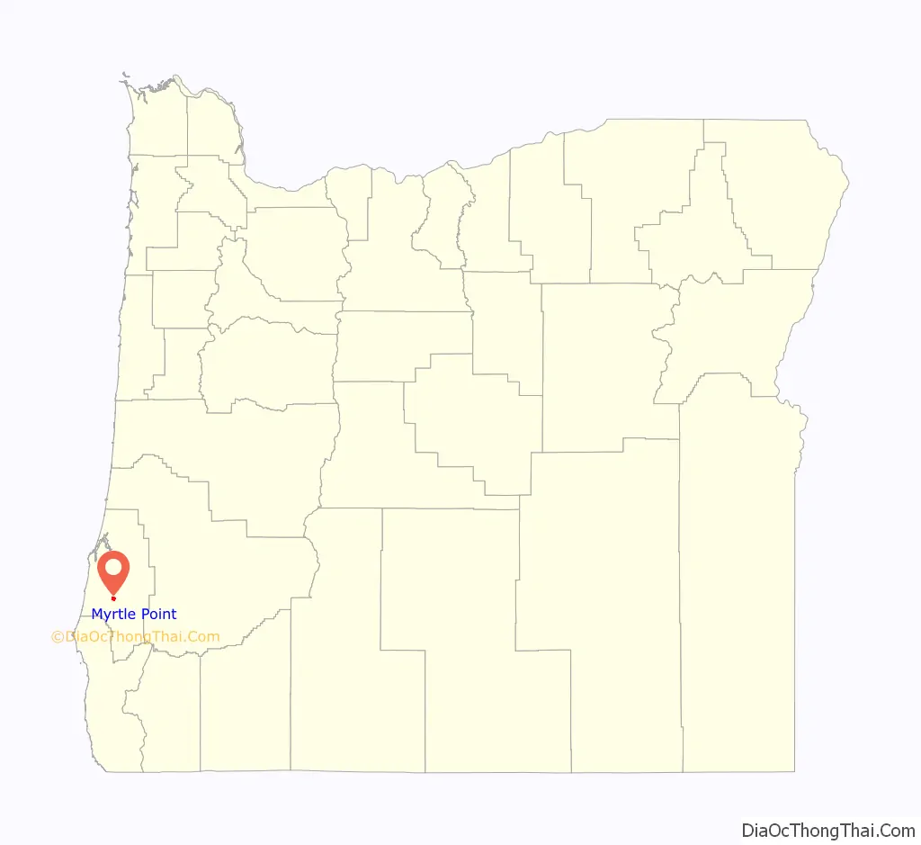
Myrtle Point location map. Where is Myrtle Point city?
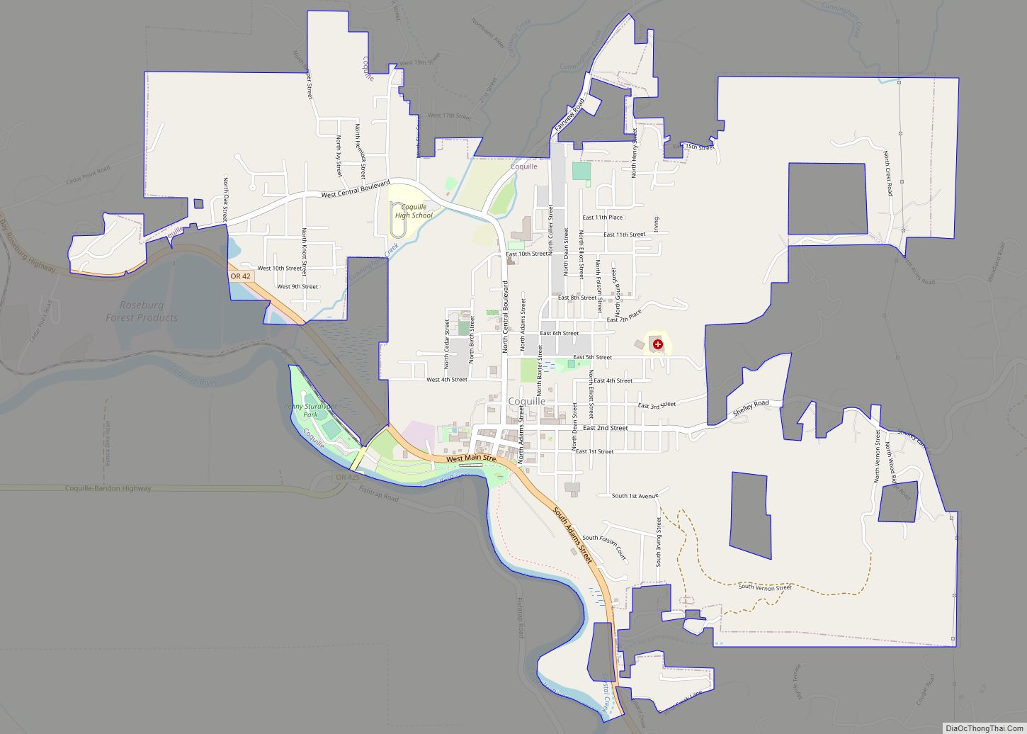
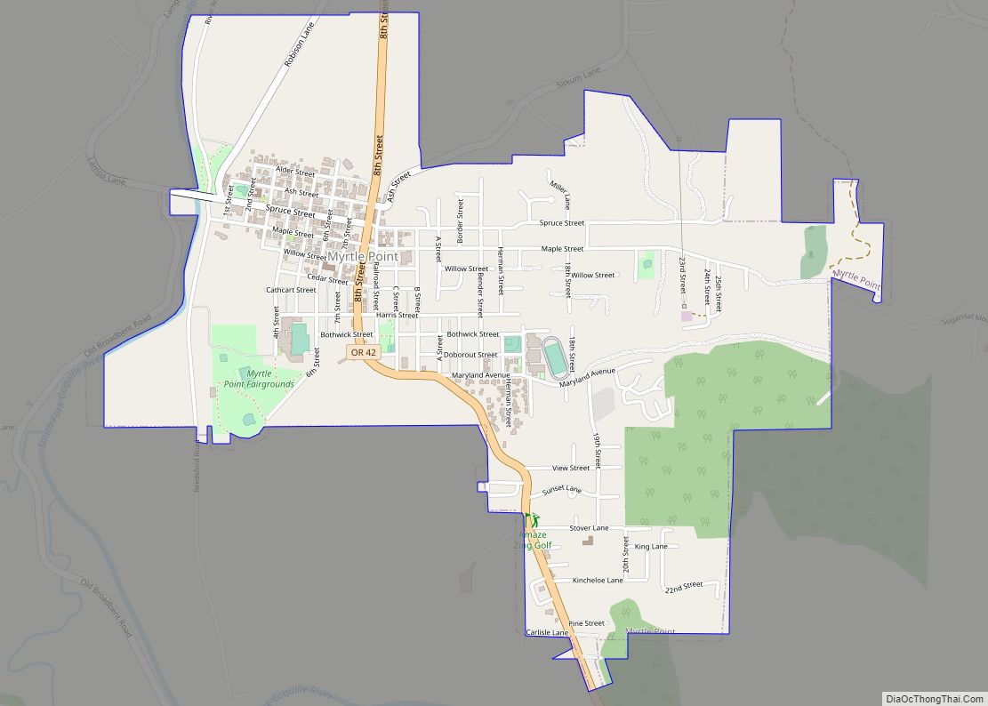
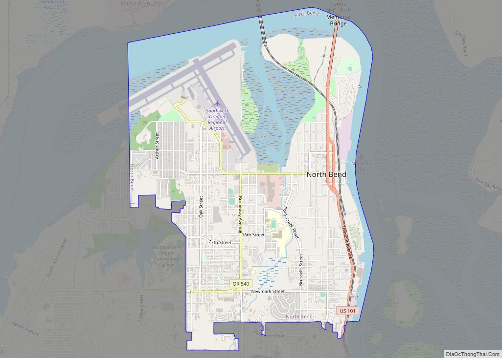
Myrtle Point Road Map

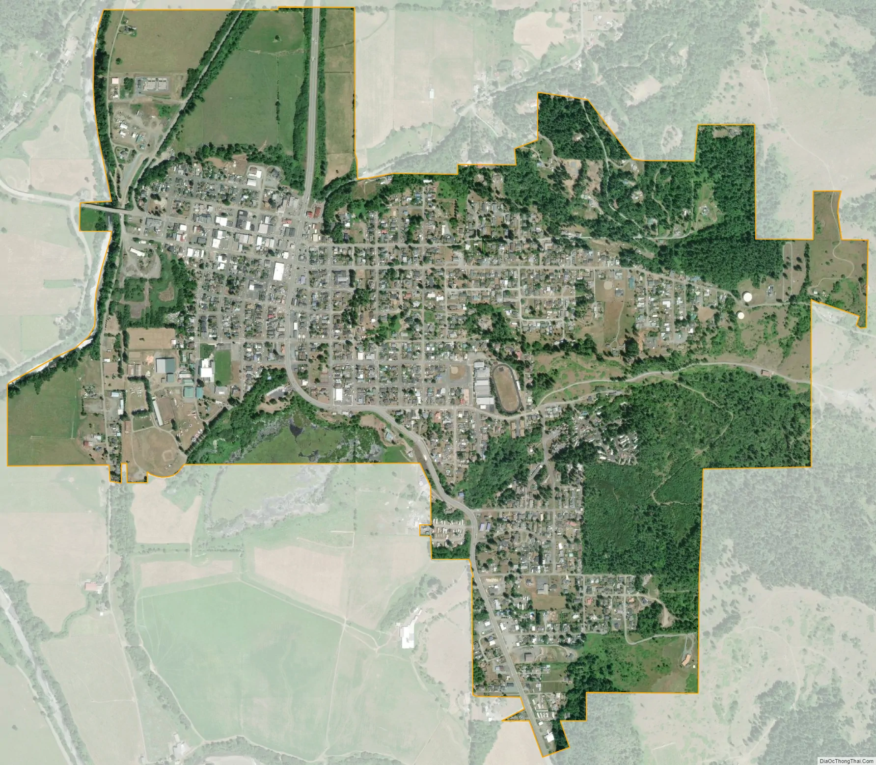
Myrtle Point city Satellite Map
Geography
According to the United States Census Bureau, the city has a total area of 1.62 square miles (4.20 km), of which 1.61 square miles (4.17 km) is land and 0.01 square miles (0.03 km) is water.
Myrtle Point is about 15 miles (24 km) from the Pacific Ocean in southwestern Oregon. Oregon Route 42, which runs generally east−west from near Roseburg to near Coos Bay, passes through Myrtle Point. The South Fork Coquille River receives the east fork of the Coquille River just south of the city, and the combined stream receives the North Fork Coquille River just north of Myrtle Point. The city is 131 feet (40 m) above sea level.
Due to its proximity to the Pacific Ocean, the climate of the Coquille River Valley and Myrtle Point is considered mild and wet. Due to being further inland, summers are warmer and sunnier than in nearby Bandon or Coos Bay, but extremes are still rare. According to the Köppen climate classification, Myrtle Point has a warm-summer Mediterrean climate (Csb). The warmest month is August, with an average high temperature around 78 °F (26 °C), while the coldest month is January, with an average low around 34 °F (1 °C). The record high in Myrtle Point is 107 °F (42 °C), which was observed on August 15, 2020, while the record low is 5 °F (−15 °C), which was observed on February 5, 1989.
See also
Map of Oregon State and its subdivision: Map of other states:- Alabama
- Alaska
- Arizona
- Arkansas
- California
- Colorado
- Connecticut
- Delaware
- District of Columbia
- Florida
- Georgia
- Hawaii
- Idaho
- Illinois
- Indiana
- Iowa
- Kansas
- Kentucky
- Louisiana
- Maine
- Maryland
- Massachusetts
- Michigan
- Minnesota
- Mississippi
- Missouri
- Montana
- Nebraska
- Nevada
- New Hampshire
- New Jersey
- New Mexico
- New York
- North Carolina
- North Dakota
- Ohio
- Oklahoma
- Oregon
- Pennsylvania
- Rhode Island
- South Carolina
- South Dakota
- Tennessee
- Texas
- Utah
- Vermont
- Virginia
- Washington
- West Virginia
- Wisconsin
- Wyoming