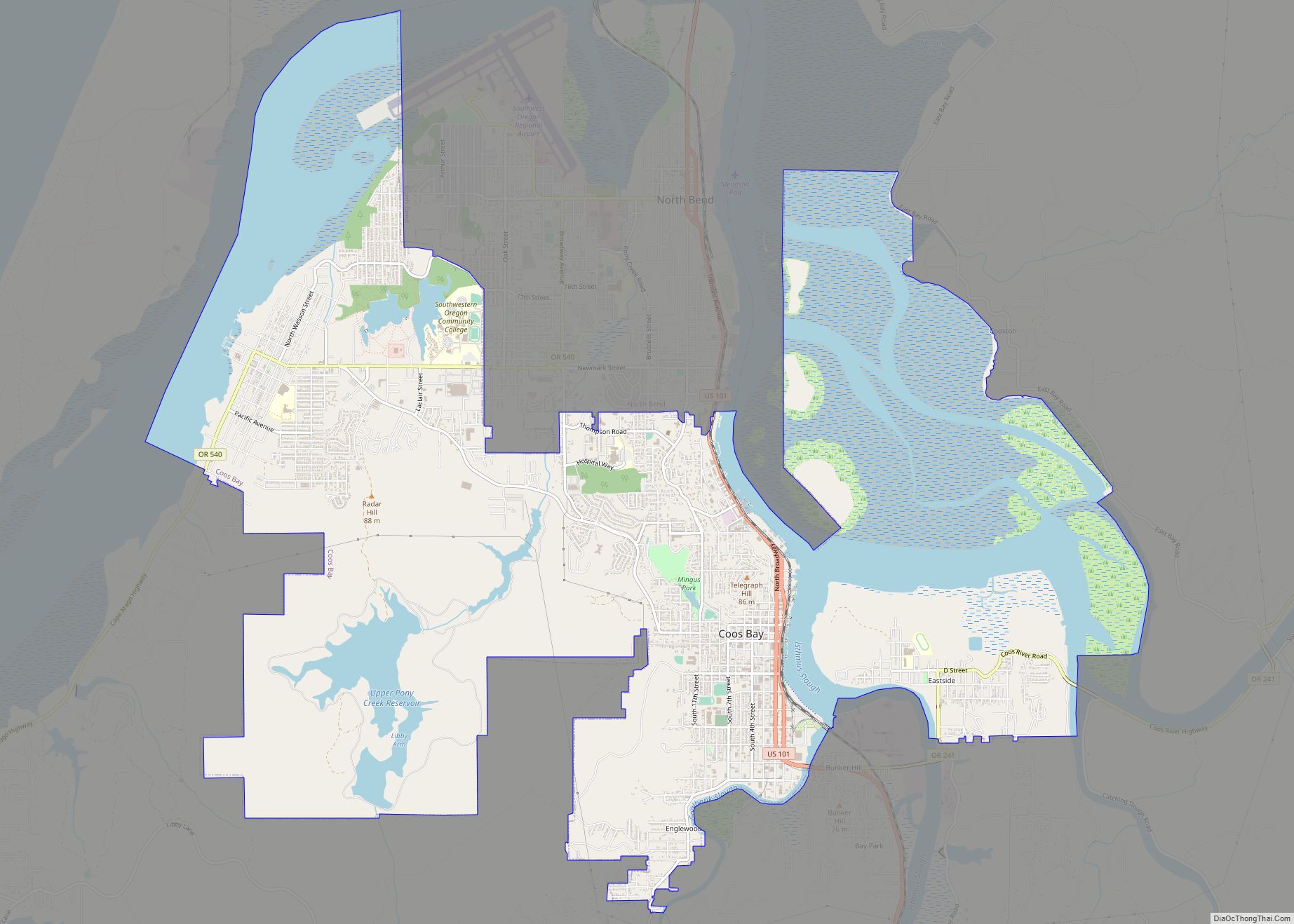
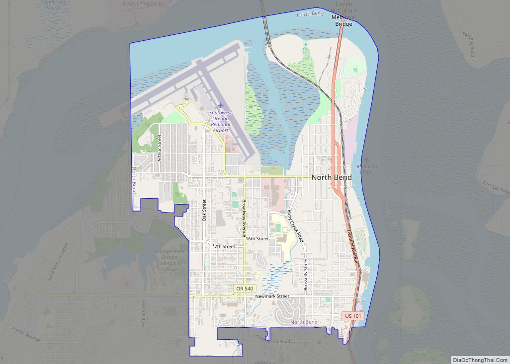
North Bend is a city in Coos County, Oregon, United States with a population of 9,695 as of the 2010 census. North Bend is surrounded on three sides by Coos Bay, an S-shaped water inlet and estuary where the Coos River enters Coos Bay and borders the city of Coos Bay to the south. North Bend became an incorporated city in 1903.
| Name: | North Bend city |
|---|---|
| LSAD Code: | 25 |
| LSAD Description: | city (suffix) |
| State: | Oregon |
| County: | Coos County |
| Incorporated: | 1903 |
| Elevation: | 13 ft (4 m) |
| Land Area: | 3.93 sq mi (10.18 km²) |
| Water Area: | 1.16 sq mi (3.01 km²) |
| Population Density: | 2,623.86/sq mi (1,013.01/km²) |
| ZIP code: | 97459 |
| Area code: | 541 |
| FIPS code: | 4153000 |
| GNISfeature ID: | 2411269 |
| Website: | northbendoregon.us |
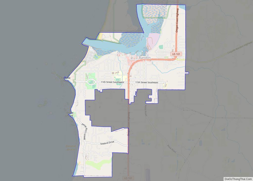
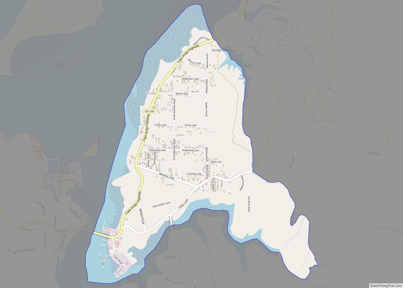
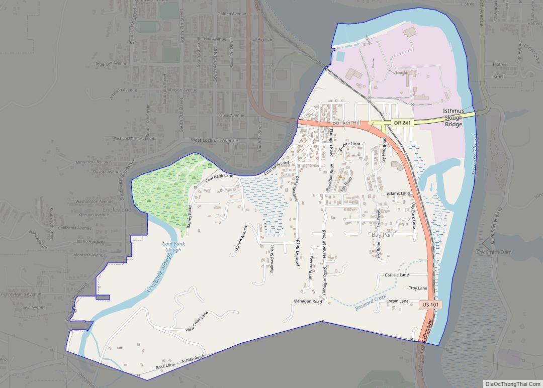
Online Interactive Map
Click on ![]() to view map in "full screen" mode.
to view map in "full screen" mode.
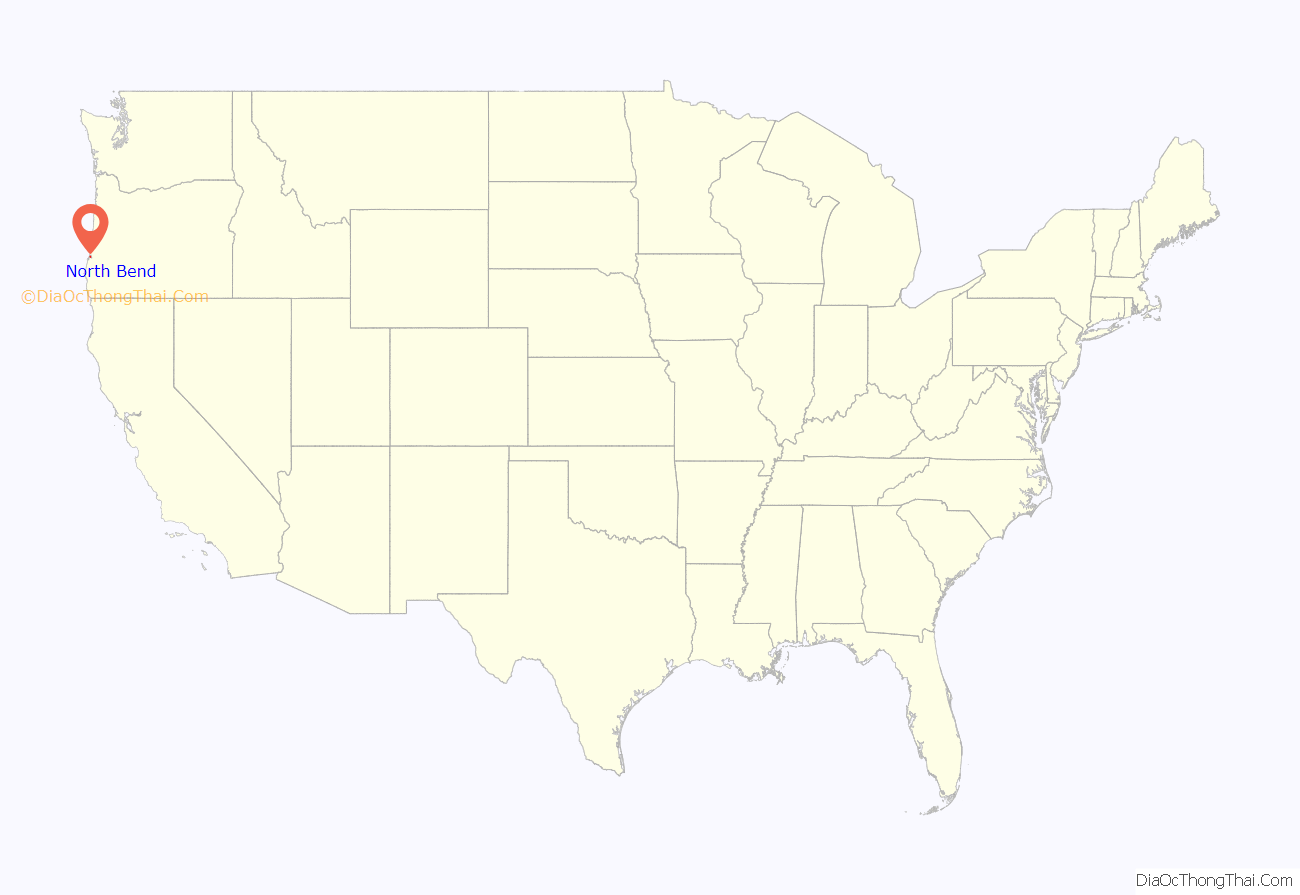
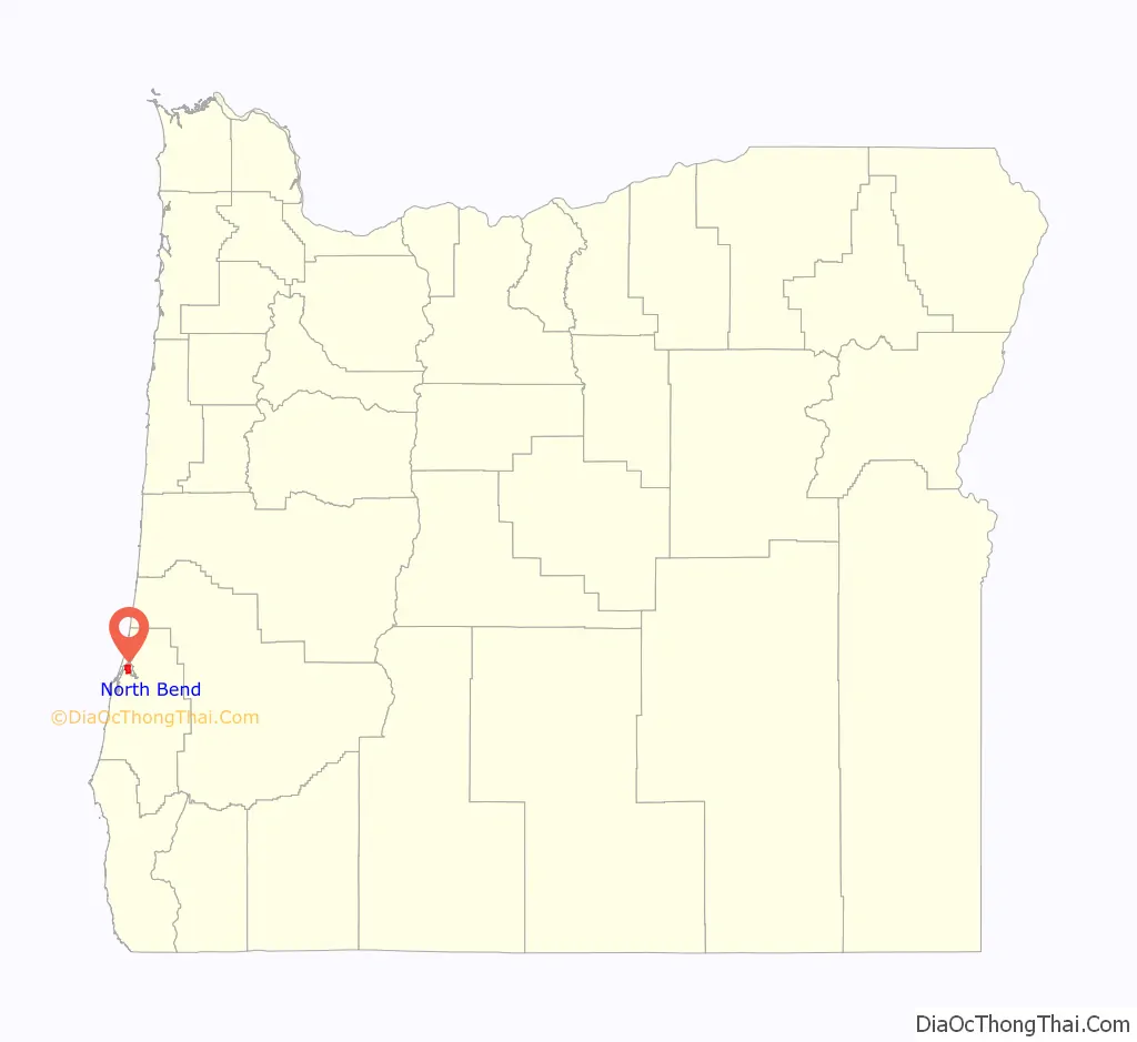
North Bend location map. Where is North Bend city?
History
Before Europeans visited the Oregon coast, Native American tribes claimed the Coos Bay region as their homeland for thousands of years. Members of the Coos, Lower Umpqua, Siuslaw and Coquille tribes lived, fished, hunted and gathered along Coos Bay and its estuaries, along rivers, and in meadows and forests.
Approximately 400 years ago, British and Spanish explorers first approached the South Coast. In 1579, Sir Francis Drake is purported to have sought shelter for his ship, the Golden Hinde, around Cape Arago. Trader and explorer Jedediah Smith was in the region seeking furs and the Hudson’s Bay Company sent Alexander Roderick McLeod to search for an inland passage.
The 1852 stranding of the schooner Captain Lincoln on the North Spit and the survivors’ encampment and rescue brought attention to gold prospectors who came to mine placer from area beaches. In 1853, the Coos Bay Commercial Company arrived from the Rogue Valley and created routes for settlers.
Thomas Symons founded Yarrow in 1863. Louis Simpson bought it in 1902. Simpson brought Yarrow and his father’s sawmill site Old Town together in 1903 under the name North Bend.
Empire City was established and was the county seat of government until 1896. Entrepreneurs were drawn to the area’s ample natural resources, and sawmills and shipyards at Old Town North Bend and Empire City spurred economic development and attracted workers. Rivers and sloughs provided a means to transport people, forest, agricultural and coal products, and towns provided hubs for inland transportation. Some of the early industries in the area included timber harvesting, shipbuilding, farming, coal mining and salmon canning.
Prior to around 1915, the Coos region was largely isolated from the rest of Oregon due to difficulties in crossing the Coast Range and fording rivers. Instead, the Pacific Ocean was used to link people to other areas, including San Francisco. That was an easier two-day trip compared to traveling inland over rugged terrain. In 1916, trains linked the region to other interior settlements and towns, increasing commercial trade and tourism
Significant urban growth occurred in the 1920s, and during the 1930s to 1950s, large-scale growth occurred. Per the Oregon Bay Area Chamber of Commerce, during the 1930s to 1950s:
During the interregnum of despair between Franklin Roosevelt’s election and his inauguration, the only bank in North Bend, the First National, was forced to temporarily close its doors, precipitating a cash-flow crisis for the City of North Bend. The city solved this problem by minting currency using myrtlewood discs printed on a newspaper press. These coins, in denominations from 25 cents to $10, were used to make payroll and the city promised to redeem them for cash as soon as it became available.
However, when the bank reopened and the city appealed for people to bring their myrtlewood money in to redeem it, many opted to keep their tokens as collector’s items. After several appeals, the city gave up and announced that the tokens would remain legal tender in the city of North Bend in perpetuity. Until the 1960s, people occasionally did cash in their tokens, but the remaining pieces have become very valuable through scarcity and historical interest. Fewer than 10 full sets are believed to exist.
North Bend Road Map
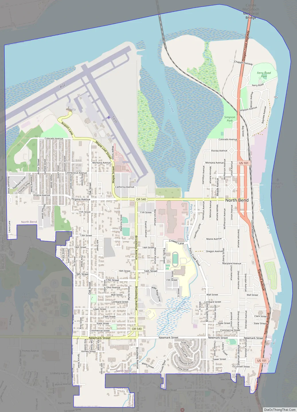
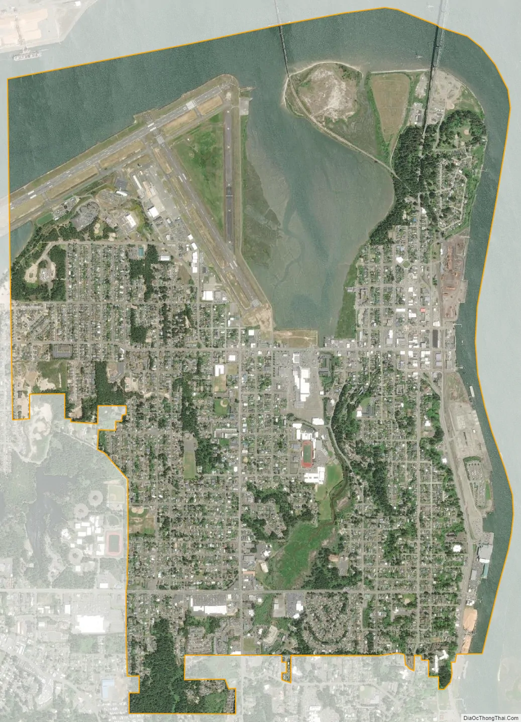
North Bend city Satellite Map
Geography
According to the United States Census Bureau, the city has a total area of 5.09 square miles (13.18 km), of which 3.92 square miles (10.15 km) is land and 1.17 square miles (3.03 km) is water.
Climate
The climate in North Bend and surrounds can be described as a very humid version of the Mediterranean climate or a dry-summer version of an oceanic climate. There is very little temperature variation throughout the year, with monthly means ranging from 46.4 °F (8.0 °C) in December to 60.1 °F (15.6 °C) in August, though on the rare occasions continental air masses penetrate they can be much more extreme, with the lowest on record being 17 °F (−8 °C) on December 21, 1990. Conversely, the record high is 96 °F (36 °C), set in July 1925. Cool breezes off the Pacific moderate the city’s climate year round. Rain is abundant in winter, due to moist low pressure troughs from the Pacific Ocean. The city’s annual rainfall is about 64.7 inches (1,643 mm), but totals are less than an inch in July and August. Fog often blankets the coastal fringe in summer due to the temperature gradient between the cool Pacific Ocean and the warm inland, which serves to keep temperatures markedly cooler than in Eugene or even Seattle. Snow almost never falls in the city, but can be heavy in the adjacent Oregon Coast Range. Nearby Cape Blanco is one of the windiest places on Earth, with gusts of 125 miles per hour (201 km/h) or more achieved during severe winter storms. Annually, the city sees 25 days that fail to reach 50 °F (10 °C) and just 12 days with a temperature of freezing or lower.
The most recent temperature numbers show North Bend to be the northernmost subtropical climate weather station in North America according to the Trewartha climate classification. There are now eight months averaging above 50 °F (10 °C.)
See also
Map of Oregon State and its subdivision: Map of other states:- Alabama
- Alaska
- Arizona
- Arkansas
- California
- Colorado
- Connecticut
- Delaware
- District of Columbia
- Florida
- Georgia
- Hawaii
- Idaho
- Illinois
- Indiana
- Iowa
- Kansas
- Kentucky
- Louisiana
- Maine
- Maryland
- Massachusetts
- Michigan
- Minnesota
- Mississippi
- Missouri
- Montana
- Nebraska
- Nevada
- New Hampshire
- New Jersey
- New Mexico
- New York
- North Carolina
- North Dakota
- Ohio
- Oklahoma
- Oregon
- Pennsylvania
- Rhode Island
- South Carolina
- South Dakota
- Tennessee
- Texas
- Utah
- Vermont
- Virginia
- Washington
- West Virginia
- Wisconsin
- Wyoming