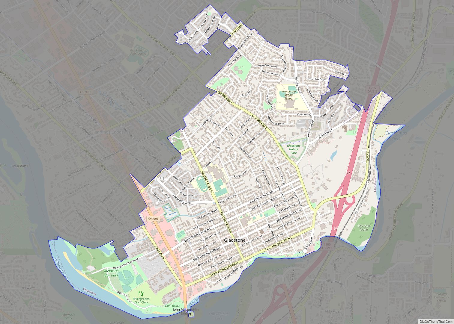
Oatfield is an unincorporated community and census-designated place in Clackamas County, Oregon, United States. It is in the Portland metropolitan area. As of the 2010 census, the population of the CDP was 13,415.
It is named after Oatfield Road, which runs between Milwaukie and Gladstone. Oatfield Road was named for the Oatfield family, well-known pioneers of the area.
| Name: | Oatfield CDP |
|---|---|
| LSAD Code: | 57 |
| LSAD Description: | CDP (suffix) |
| State: | Oregon |
| County: | Clackamas County |
| Total Area: | 3.40 sq mi (8.79 km²) |
| Land Area: | 3.40 sq mi (8.79 km²) |
| Water Area: | 0.00 sq mi (0.00 km²) |
| Total Population: | 13,977 |
| Population Density: | 4,116.94/sq mi (1,589.57/km²) |
| ZIP code: | 97267 |
| Area code: | 503 and 971 |
| FIPS code: | 4154325 |
Online Interactive Map
Click on ![]() to view map in "full screen" mode.
to view map in "full screen" mode.
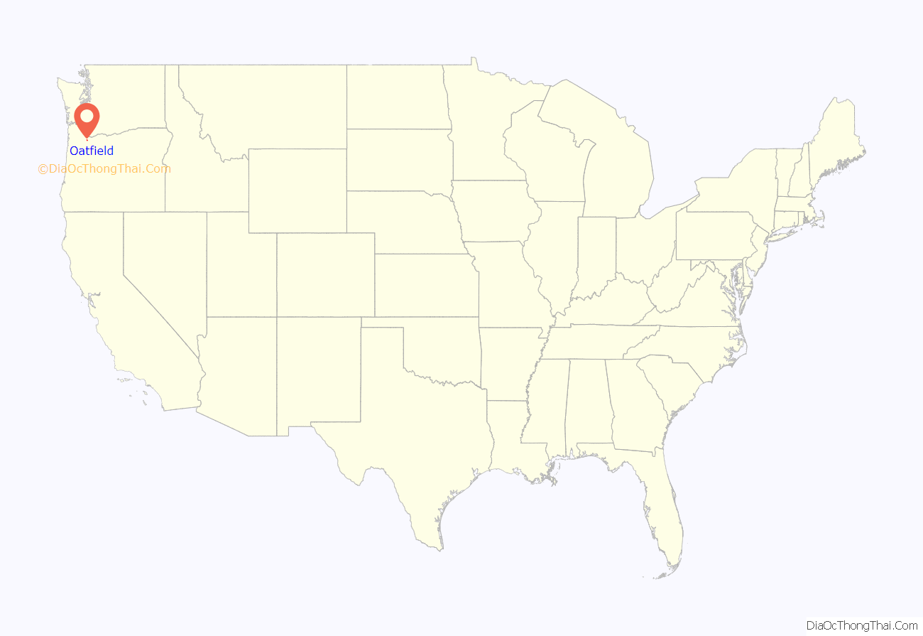
Oatfield location map. Where is Oatfield CDP?
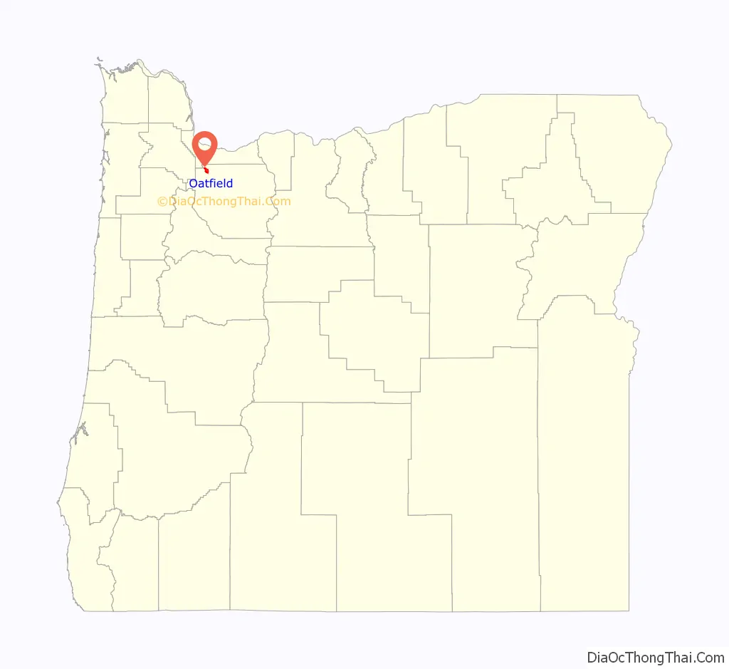
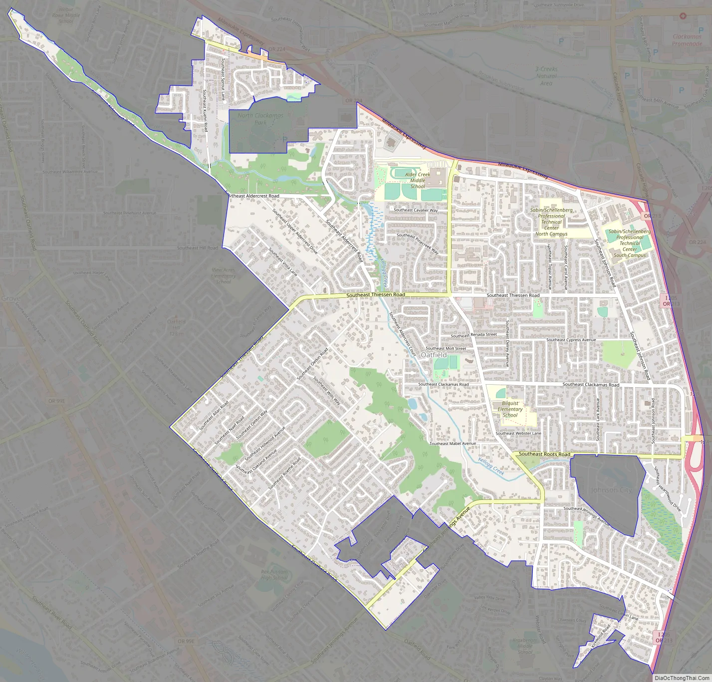
Oatfield Road Map
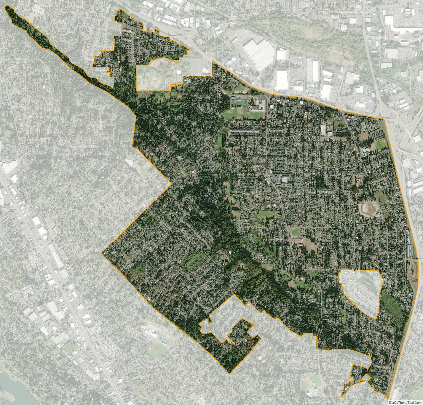
Oatfield city Satellite Map
Geography
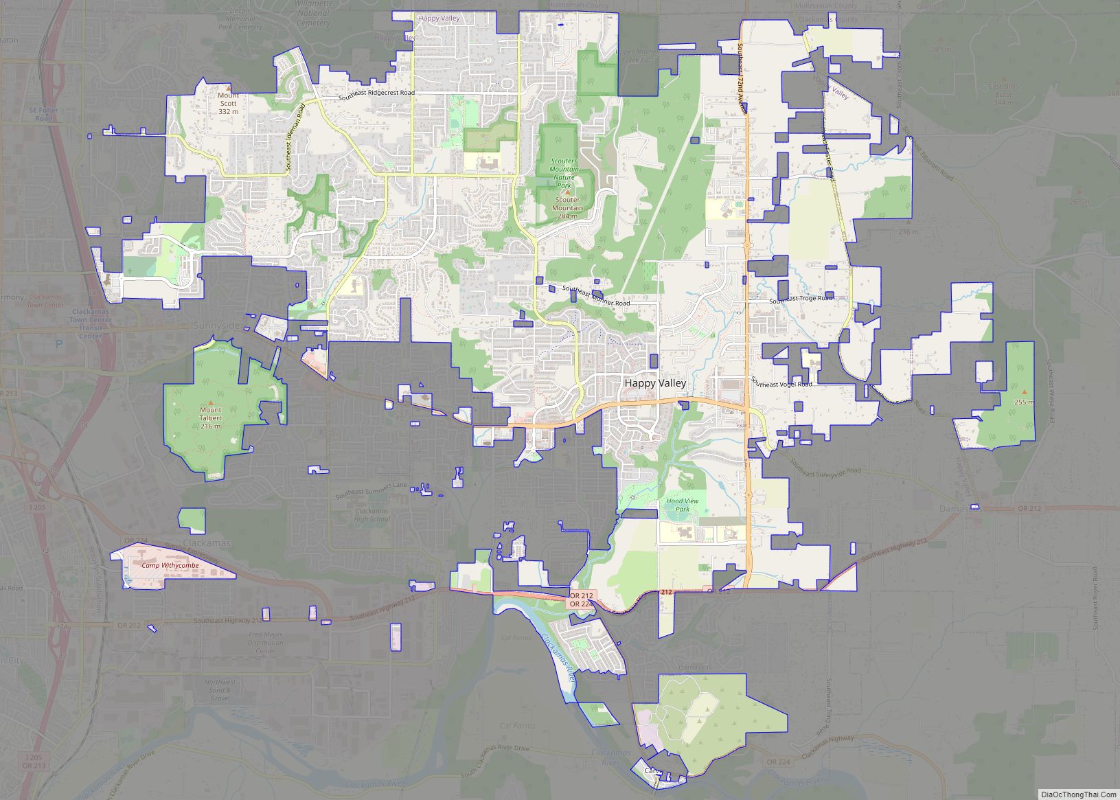
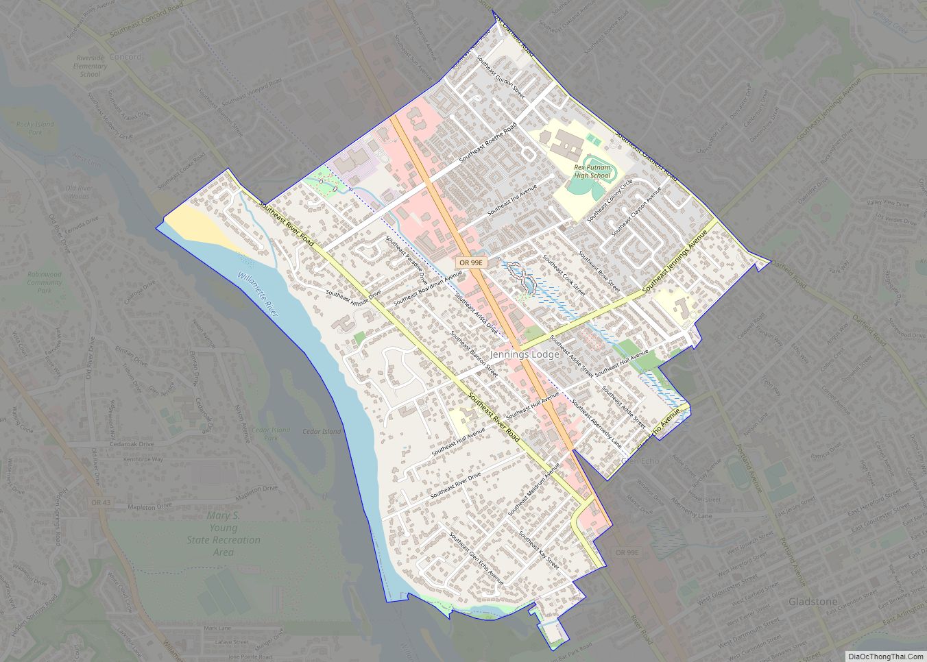
Oatfield is located in northwestern Clackamas County and is bordered by the city of Milwaukie to the northwest, unincorporated Oak Grove to the west, unincorporated Jennings Lodge to the southwest, and the city of Gladstone to the south. Interstate 205 forms the eastern edge of the community, separating Oatfield from unincorporated Clackamas. Oatfield also completely surrounds the small city of Johnson City.
According to the United States Census Bureau, the Oatfield CDP has a total area of 3.4 square miles (8.8 km), all land.
See also
Map of Oregon State and its subdivision: Map of other states:- Alabama
- Alaska
- Arizona
- Arkansas
- California
- Colorado
- Connecticut
- Delaware
- District of Columbia
- Florida
- Georgia
- Hawaii
- Idaho
- Illinois
- Indiana
- Iowa
- Kansas
- Kentucky
- Louisiana
- Maine
- Maryland
- Massachusetts
- Michigan
- Minnesota
- Mississippi
- Missouri
- Montana
- Nebraska
- Nevada
- New Hampshire
- New Jersey
- New Mexico
- New York
- North Carolina
- North Dakota
- Ohio
- Oklahoma
- Oregon
- Pennsylvania
- Rhode Island
- South Carolina
- South Dakota
- Tennessee
- Texas
- Utah
- Vermont
- Virginia
- Washington
- West Virginia
- Wisconsin
- Wyoming