Paisley is a city in Lake County, Oregon, United States. It is along Oregon Route 31 between Summer Lake and Lake Abert. The population was 250 at the 2020 census.
| Name: | Paisley city |
|---|---|
| LSAD Code: | 25 |
| LSAD Description: | city (suffix) |
| State: | Oregon |
| County: | Lake County |
| Incorporated: | 1911 |
| Elevation: | 4,374 ft (1,333 m) |
| Total Area: | 0.42 sq mi (1.09 km²) |
| Land Area: | 0.42 sq mi (1.09 km²) |
| Water Area: | 0.00 sq mi (0.00 km²) |
| Total Population: | 250 |
| Population Density: | 595.24/sq mi (229.99/km²) |
| ZIP code: | 97636 |
| Area code: | 541 |
| FIPS code: | 4156250 |
| GNISfeature ID: | 2411353 |
| Website: | cityofpaisley.net |
Online Interactive Map
Click on ![]() to view map in "full screen" mode.
to view map in "full screen" mode.
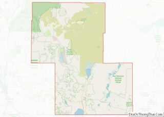
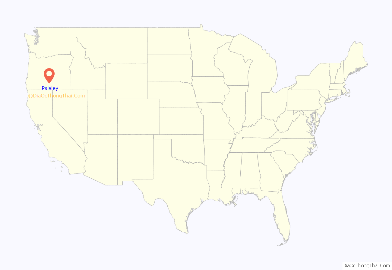
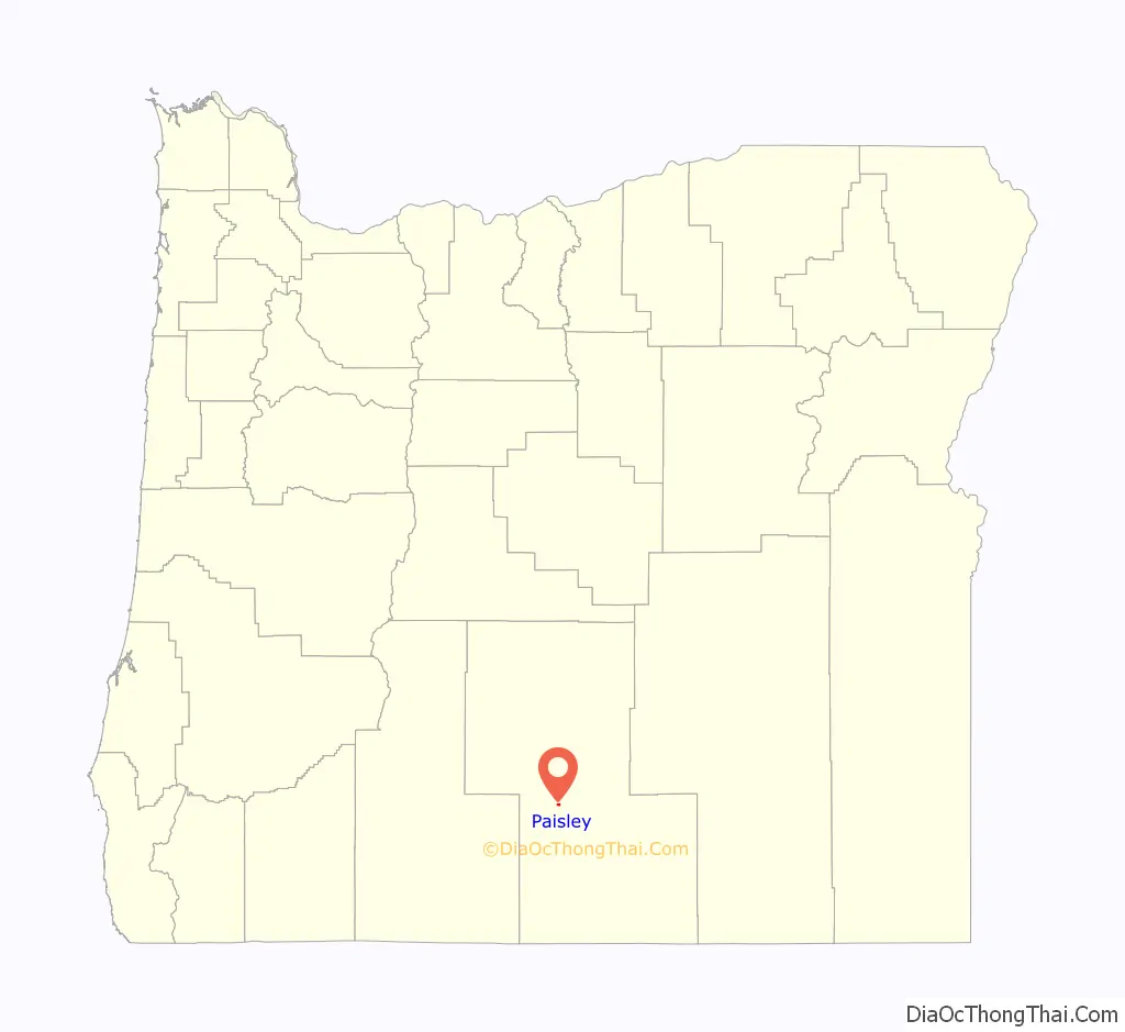
Paisley location map. Where is Paisley city?
History
There are two theories regarding the origin of the name “Paisley”. One story says that Charles Mitchell Innes, from Scotland, named the place for Paisley in his home country, in about 1873. Another informant stated that the place was named by Samuel G. Steele, also a native of Scotland. Steele was the first postmaster of the Paisley post office, which was established in 1879.
Archeological sites from the 1930s at Paisley Caves and 1966 at Fort Rock give the oldest known evidence for early Native Americans. Radiocarbon dating of coprolites indicate they are from 12,750 to 14,290 years before the present.
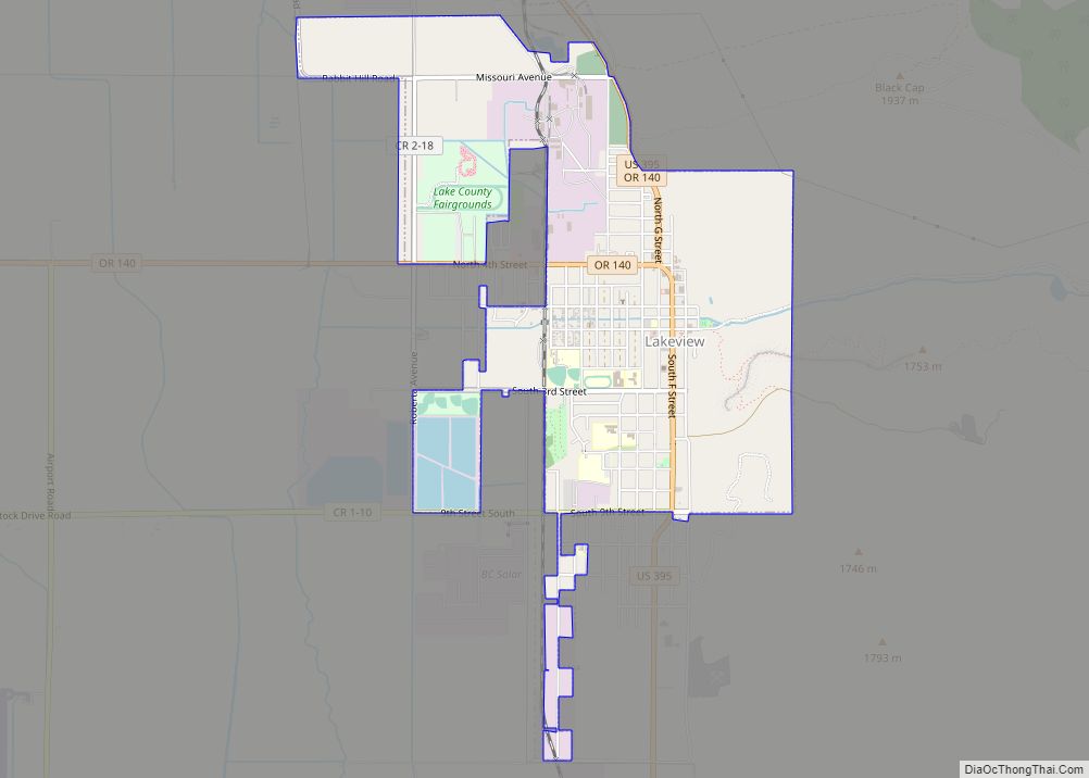
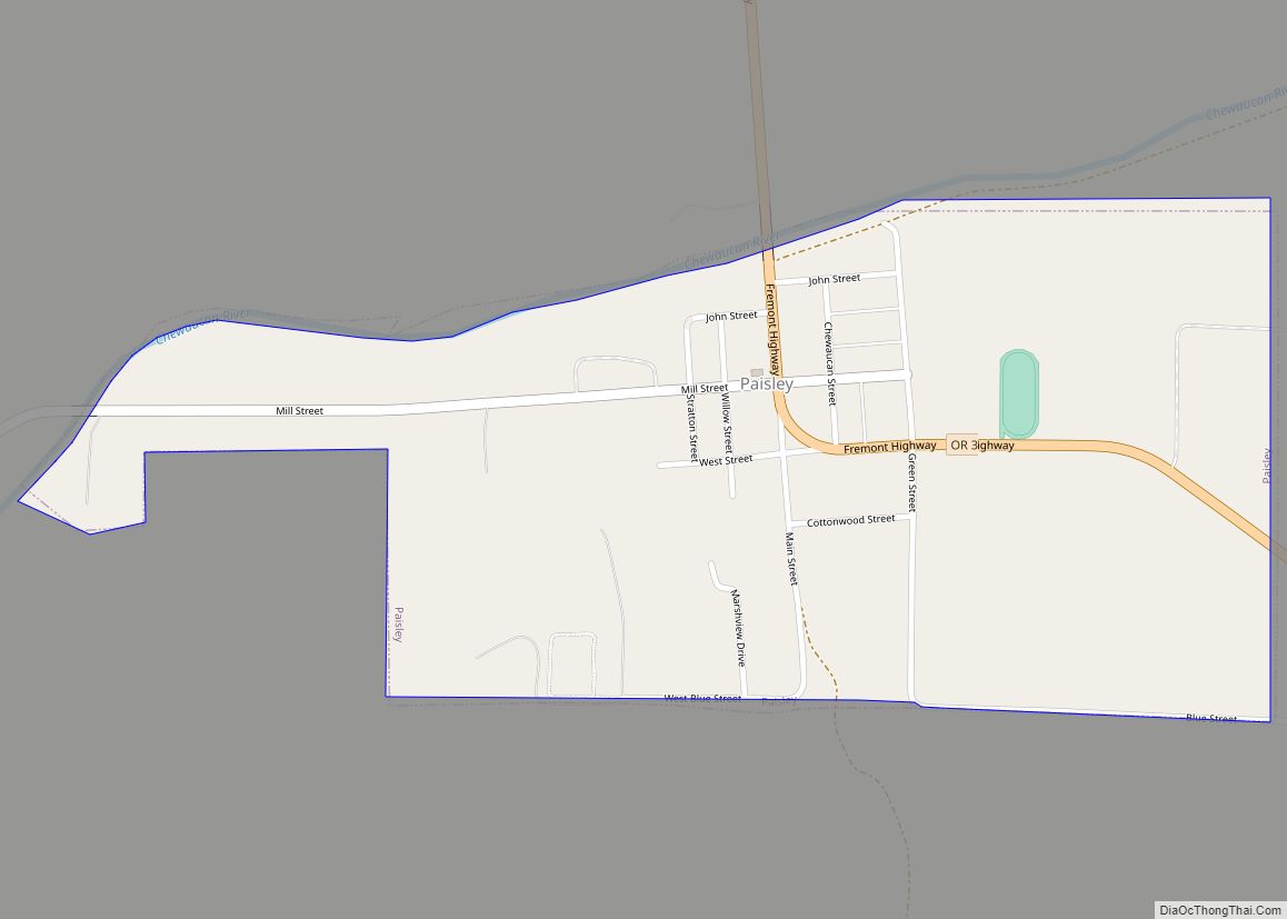
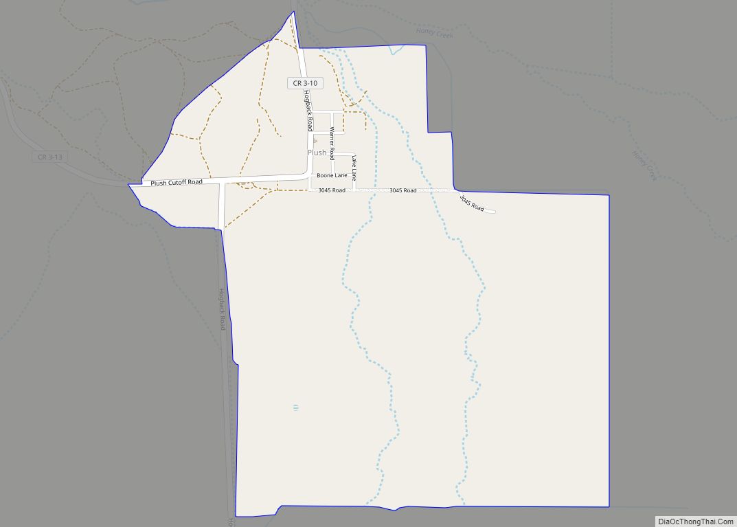
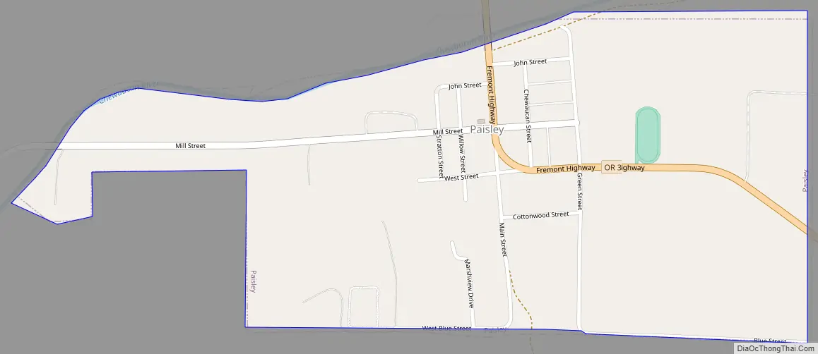
Paisley Road Map
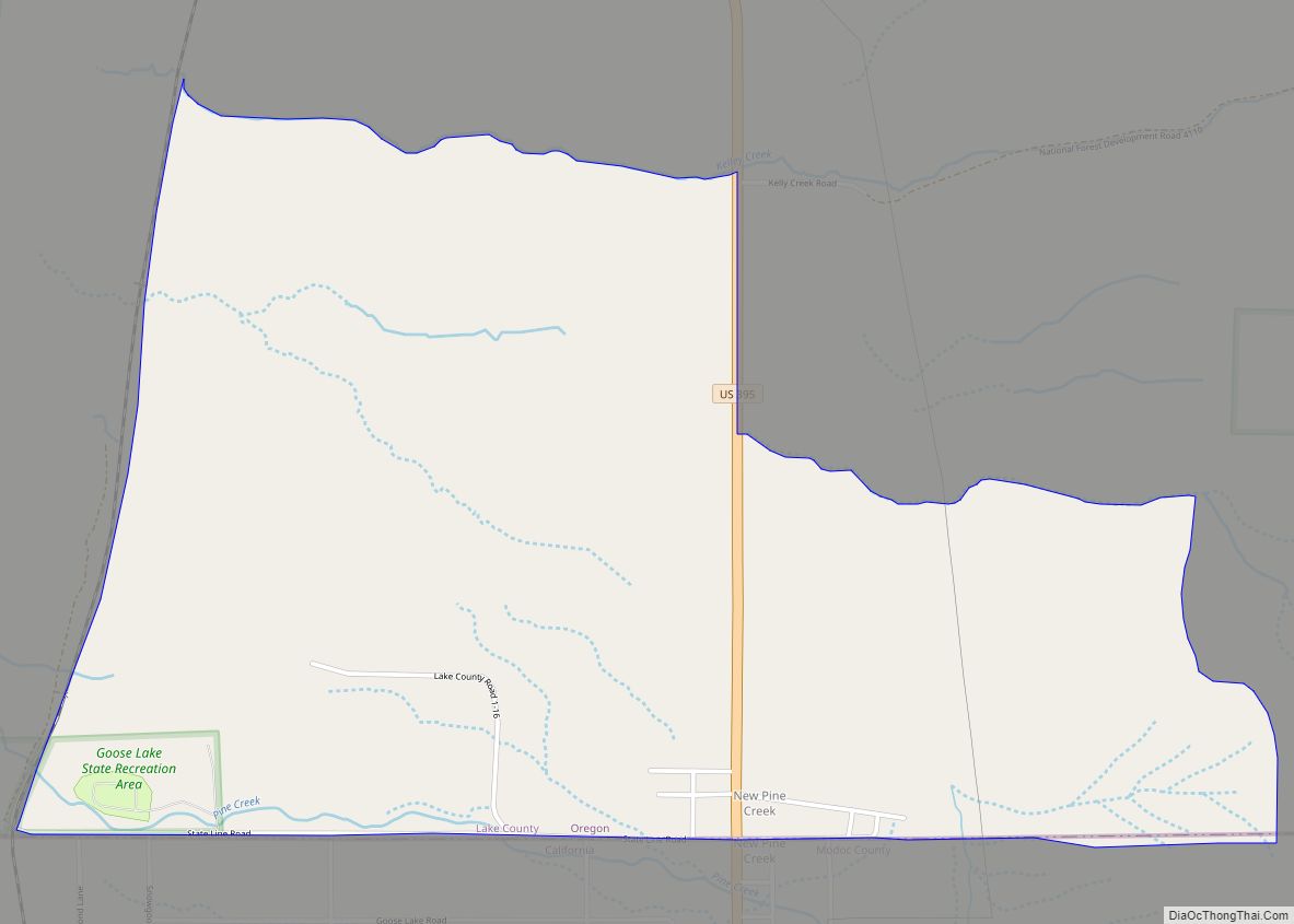
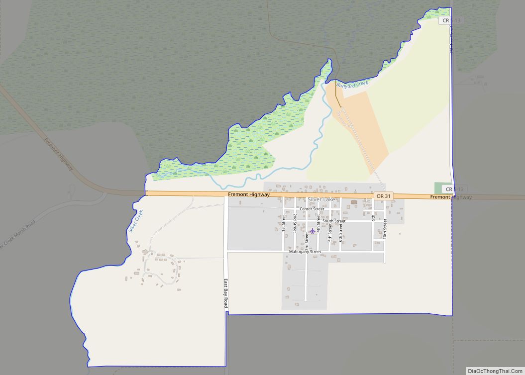
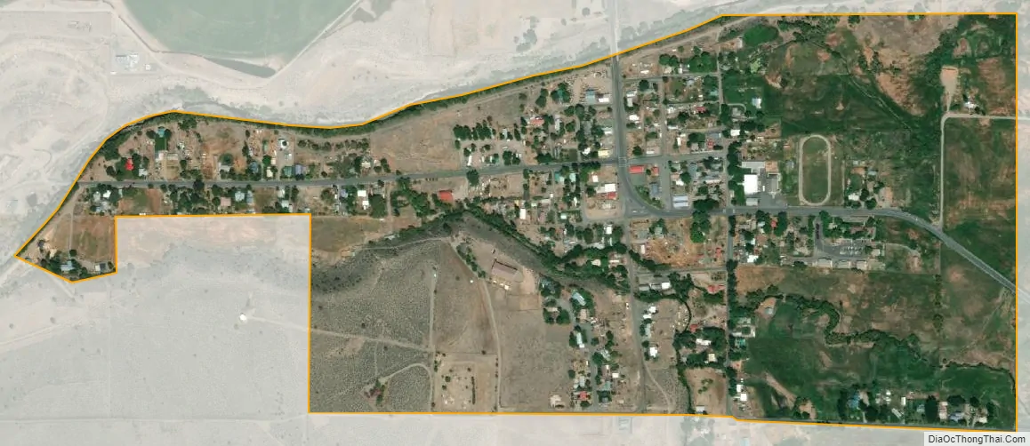
Paisley city Satellite Map
Geography
Paisley is located at an elevation of 4,374 feet (1,333 m). According to the United States Census Bureau, the city has a total area of 0.44 square miles (1.14 km), all of it land. The Chewaucan River flows through the city.
Geothermal energy
Paisley sits on top of a supply of hot groundwater. In 1980 on the Colahan Ranch in Paisley, a well was unintentionally drilled into a fault, revealing the hot water. After using the water for irrigation for a time, the Colahans invited the local electricity cooperative to investigate the well’s use as a geothermal energy source in 2008. The plant was expected to come online in 2013 with a projected energy output of three megawatts using grants from both Federal and State governments for up to seven million dollars. However, by July 2015 the plant had still not come online, and the costs had expanded from a projected twelve million dollars to more than twenty one million dollars, while the amount gained through government grants had fallen to only five million. The plant became operational later that year at a projected 3.1 megawatts capability. The plant was able to generate an estimated 4,129,6800 kilowatt hours of energy over the eight months it was operational during 2016 with a peak output of 2,100 kilowatts.
Climate
According to the Köppen Climate Classification system, Paisley has a steppe climate, abbreviated “BSk” on climate maps.
See also
Map of Oregon State and its subdivision: Map of other states:- Alabama
- Alaska
- Arizona
- Arkansas
- California
- Colorado
- Connecticut
- Delaware
- District of Columbia
- Florida
- Georgia
- Hawaii
- Idaho
- Illinois
- Indiana
- Iowa
- Kansas
- Kentucky
- Louisiana
- Maine
- Maryland
- Massachusetts
- Michigan
- Minnesota
- Mississippi
- Missouri
- Montana
- Nebraska
- Nevada
- New Hampshire
- New Jersey
- New Mexico
- New York
- North Carolina
- North Dakota
- Ohio
- Oklahoma
- Oregon
- Pennsylvania
- Rhode Island
- South Carolina
- South Dakota
- Tennessee
- Texas
- Utah
- Vermont
- Virginia
- Washington
- West Virginia
- Wisconsin
- Wyoming