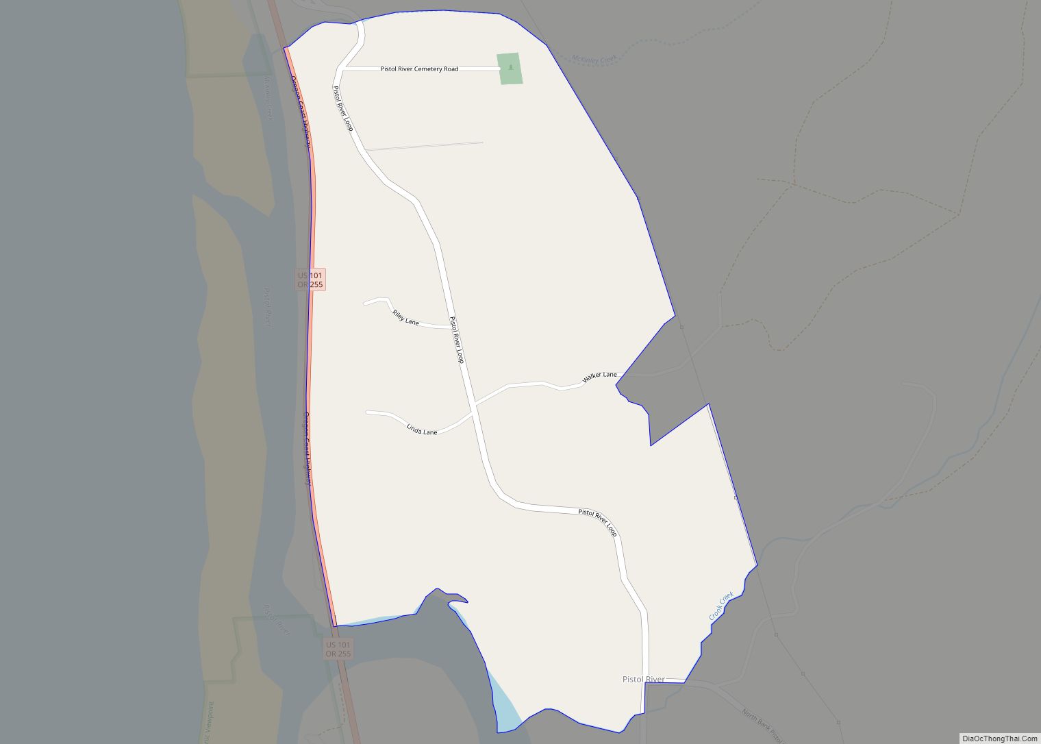
Pistol River (Tolowa: chvt-ler’sh-chvn-dvn taa-ghii~-li~’ ) is an unincorporated community and census-designated place in Curry County, Oregon, United States. As of the 2010 census it had a population of 84. It is near the Pistol River and the Pistol River State Scenic Viewpoint, just to the east of U.S. Route 101.
The community of Pistol River takes its name from the stream that flows past it. James Mace, a militia soldier, lost a pistol in the river in 1853, during a skirmish of the Rogue River Wars, and it has been known as the Pistol River since then. The Pistol River post office was established in 1927.
The Pistol River area is known for its windsurfing, and the International Windsurfing Tour holds the Pistol River Wavebash there annually. Many say that Pistol River has the best windsurfing in the state.
Pistol River has a concert association that has hosted a monthly concert, often featuring nationally known acts, since 1982.
In 1984 John Kirkland of The World (of Coos Bay, Oregon) described Pistol River as having a “pioneer spirit” and “simplicity”. Kirkland added that the community could be considered “a throwback to an earlier point in American history.”
| Name: | Pistol River CDP |
|---|---|
| LSAD Code: | 57 |
| LSAD Description: | CDP (suffix) |
| State: | Oregon |
| County: | Curry County |
| Elevation: | 200 ft (60 m) |
| Total Area: | 0.60 sq mi (1.56 km²) |
| Land Area: | 0.59 sq mi (1.53 km²) |
| Water Area: | 0.01 sq mi (0.03 km²) |
| Total Population: | 89 |
| Population Density: | 151.10/sq mi (58.32/km²) |
| ZIP code: | 97444 |
| Area code: | 458 and 541 |
| FIPS code: | 4158050 |
| GNISfeature ID: | 2611773 |
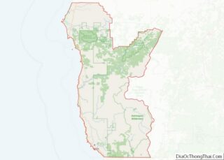
Online Interactive Map
Click on ![]() to view map in "full screen" mode.
to view map in "full screen" mode.
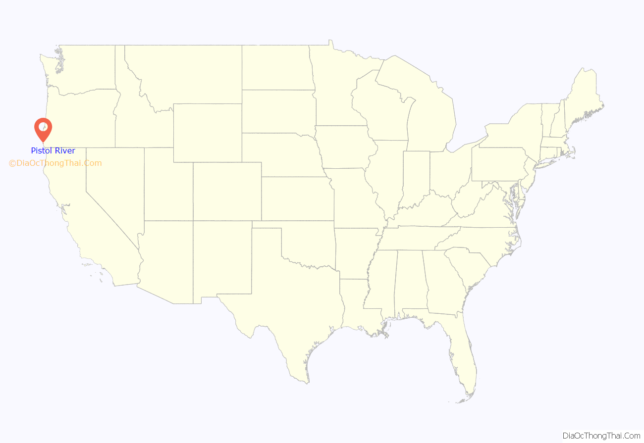
Pistol River location map. Where is Pistol River CDP?
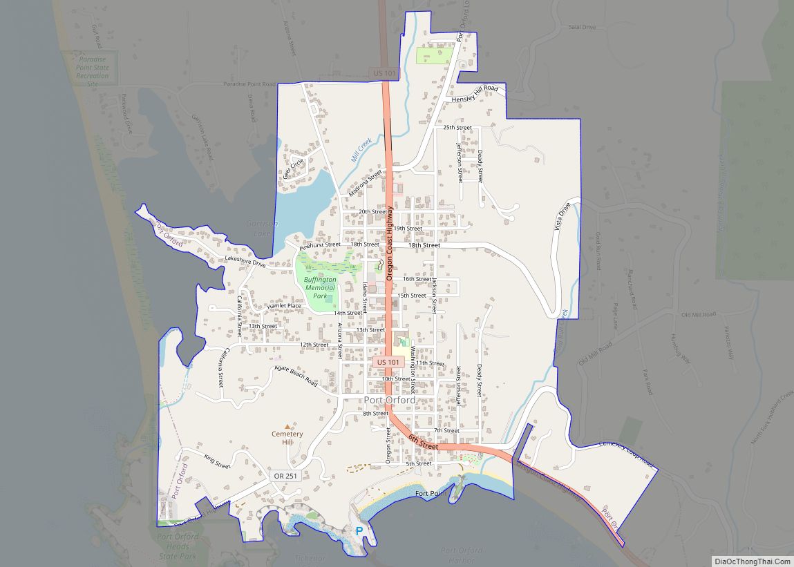
Pistol River Road Map
Pistol River city Satellite Map
See also
Map of Oregon State and its subdivision: Map of other states:- Alabama
- Alaska
- Arizona
- Arkansas
- California
- Colorado
- Connecticut
- Delaware
- District of Columbia
- Florida
- Georgia
- Hawaii
- Idaho
- Illinois
- Indiana
- Iowa
- Kansas
- Kentucky
- Louisiana
- Maine
- Maryland
- Massachusetts
- Michigan
- Minnesota
- Mississippi
- Missouri
- Montana
- Nebraska
- Nevada
- New Hampshire
- New Jersey
- New Mexico
- New York
- North Carolina
- North Dakota
- Ohio
- Oklahoma
- Oregon
- Pennsylvania
- Rhode Island
- South Carolina
- South Dakota
- Tennessee
- Texas
- Utah
- Vermont
- Virginia
- Washington
- West Virginia
- Wisconsin
- Wyoming
