Rose Lodge is a census-designated place (CDP) and unincorporated community in Lincoln County, Oregon, United States, along the 45th parallel. The population was 1,894 at the 2010 census.
Rose Lodge was named for a rose bower over the front gate of the post office established in 1908 by postmaster Julia Dodson.
| Name: | Rose Lodge CDP |
|---|---|
| LSAD Code: | 57 |
| LSAD Description: | CDP (suffix) |
| State: | Oregon |
| County: | Lincoln County |
| Elevation: | 180 ft (55 m) |
| Total Area: | 9.59 sq mi (24.83 km²) |
| Land Area: | 9.59 sq mi (24.83 km²) |
| Water Area: | 0.00 sq mi (0.00 km²) |
| Total Population: | 1,933 |
| Population Density: | 201.63/sq mi (77.85/km²) |
| ZIP code: | 97372 |
| Area code: | 541 |
| FIPS code: | 4163800 |
| GNISfeature ID: | 1148732 |
Online Interactive Map
Click on ![]() to view map in "full screen" mode.
to view map in "full screen" mode.
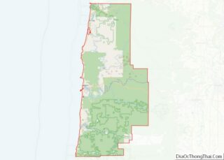
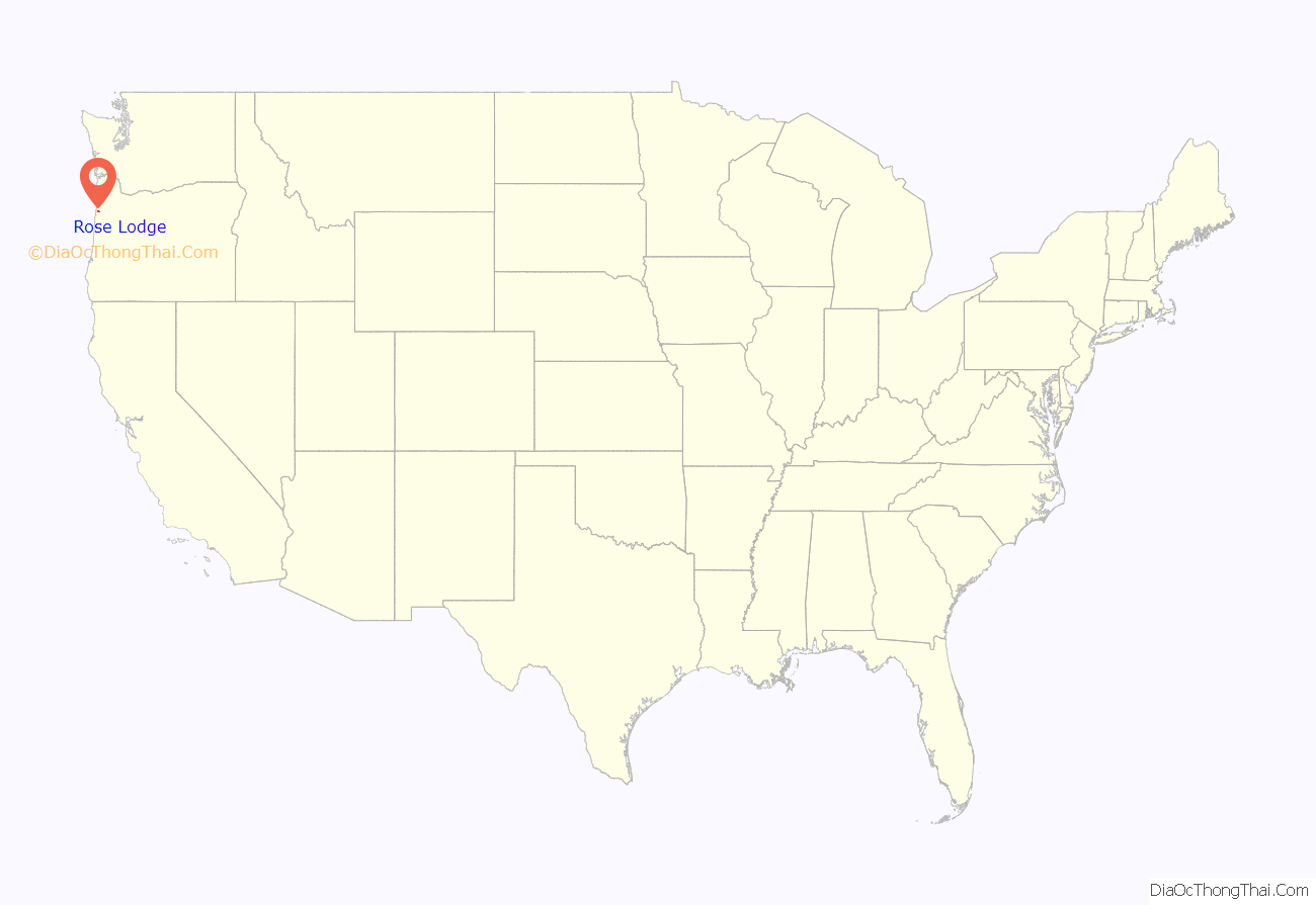
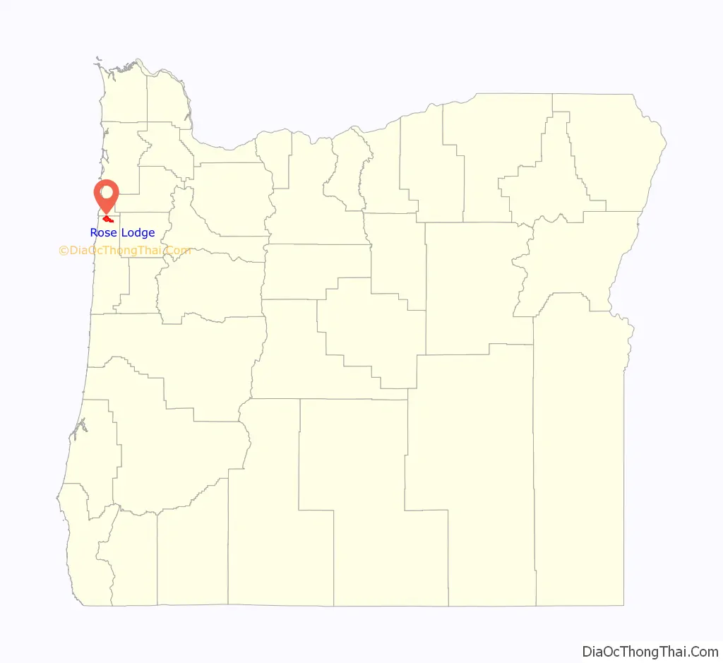
Rose Lodge location map. Where is Rose Lodge CDP?
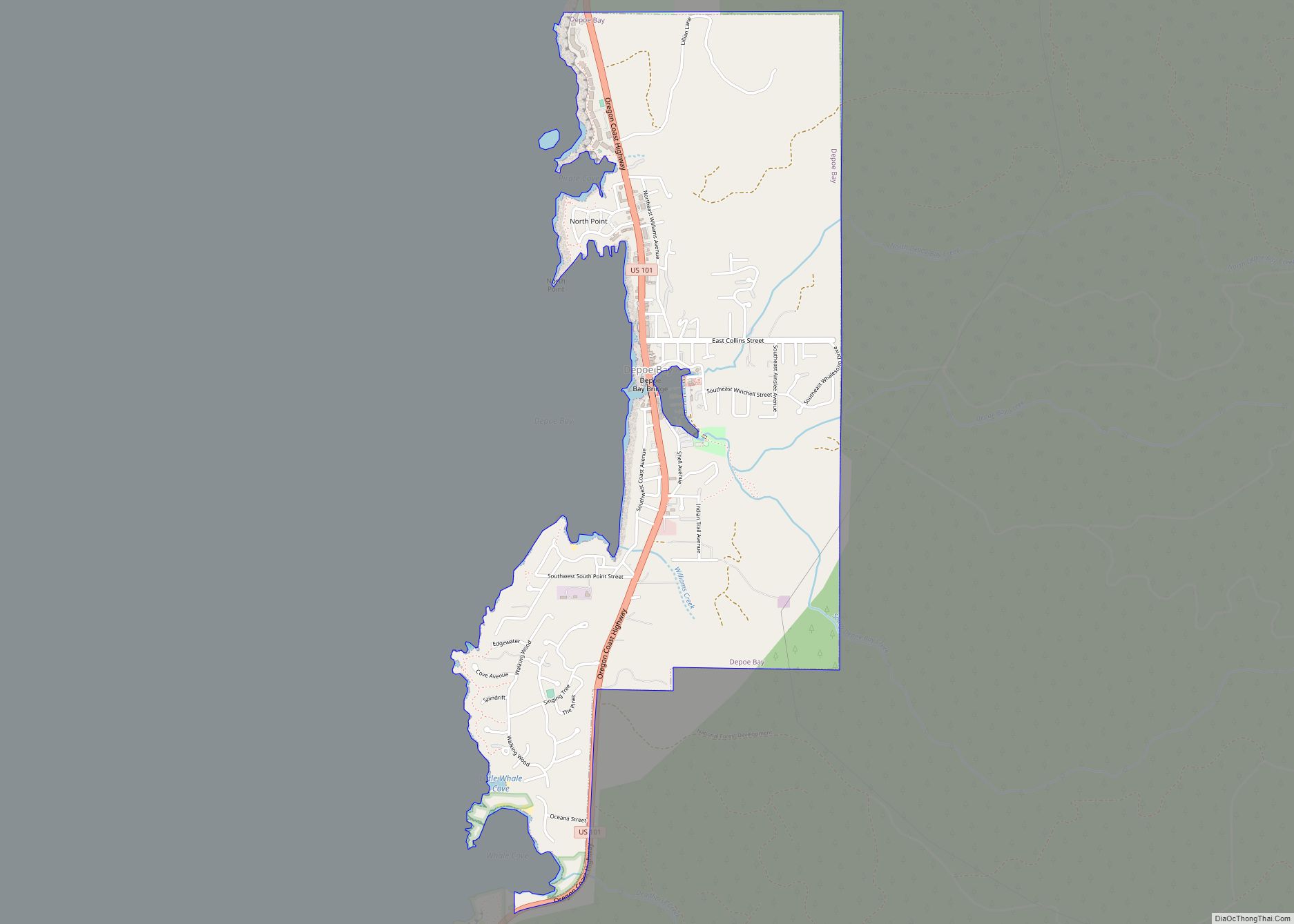
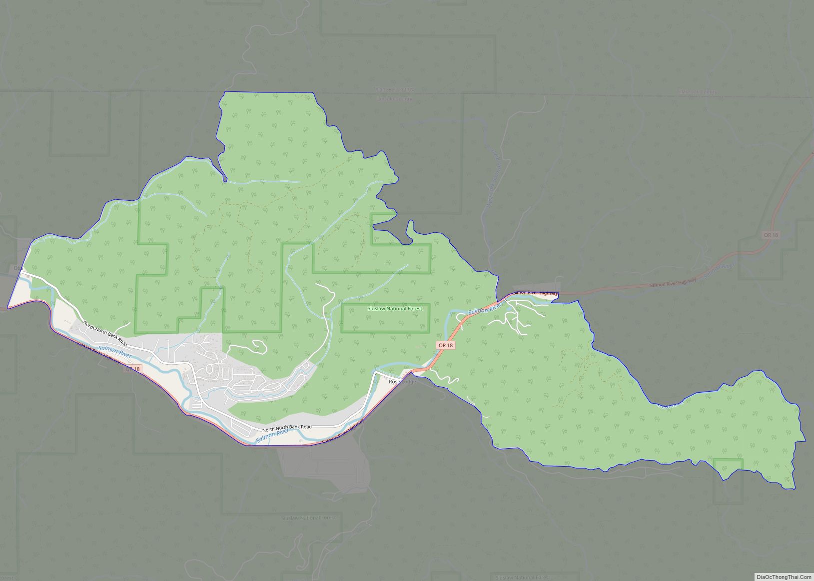
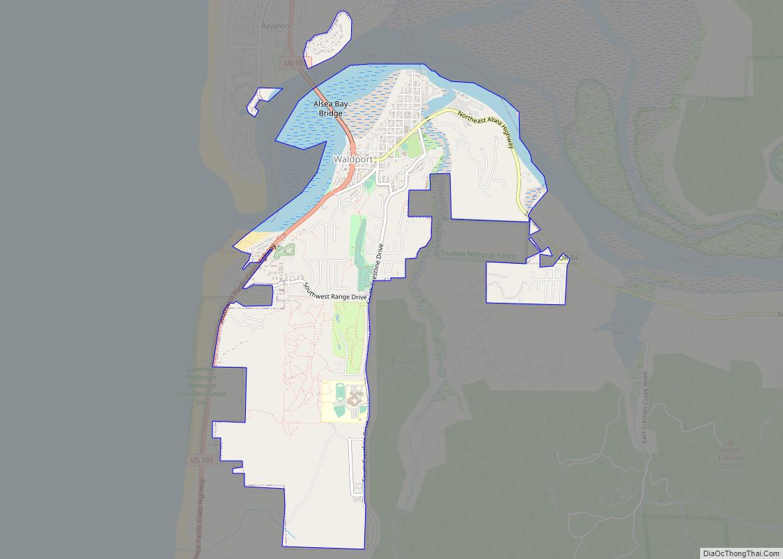
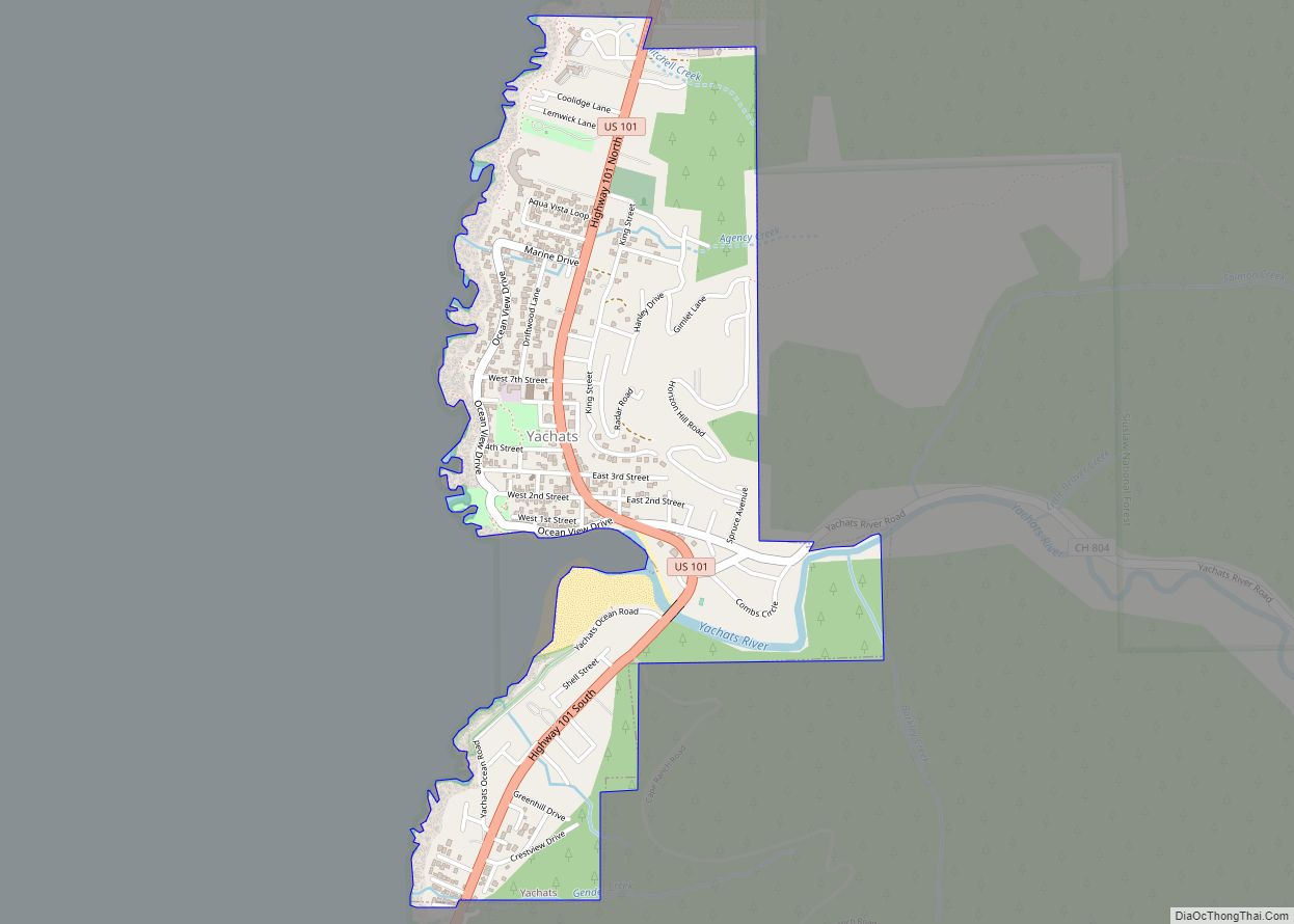
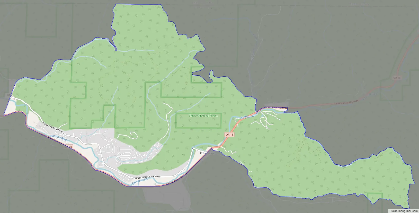
Rose Lodge Road Map
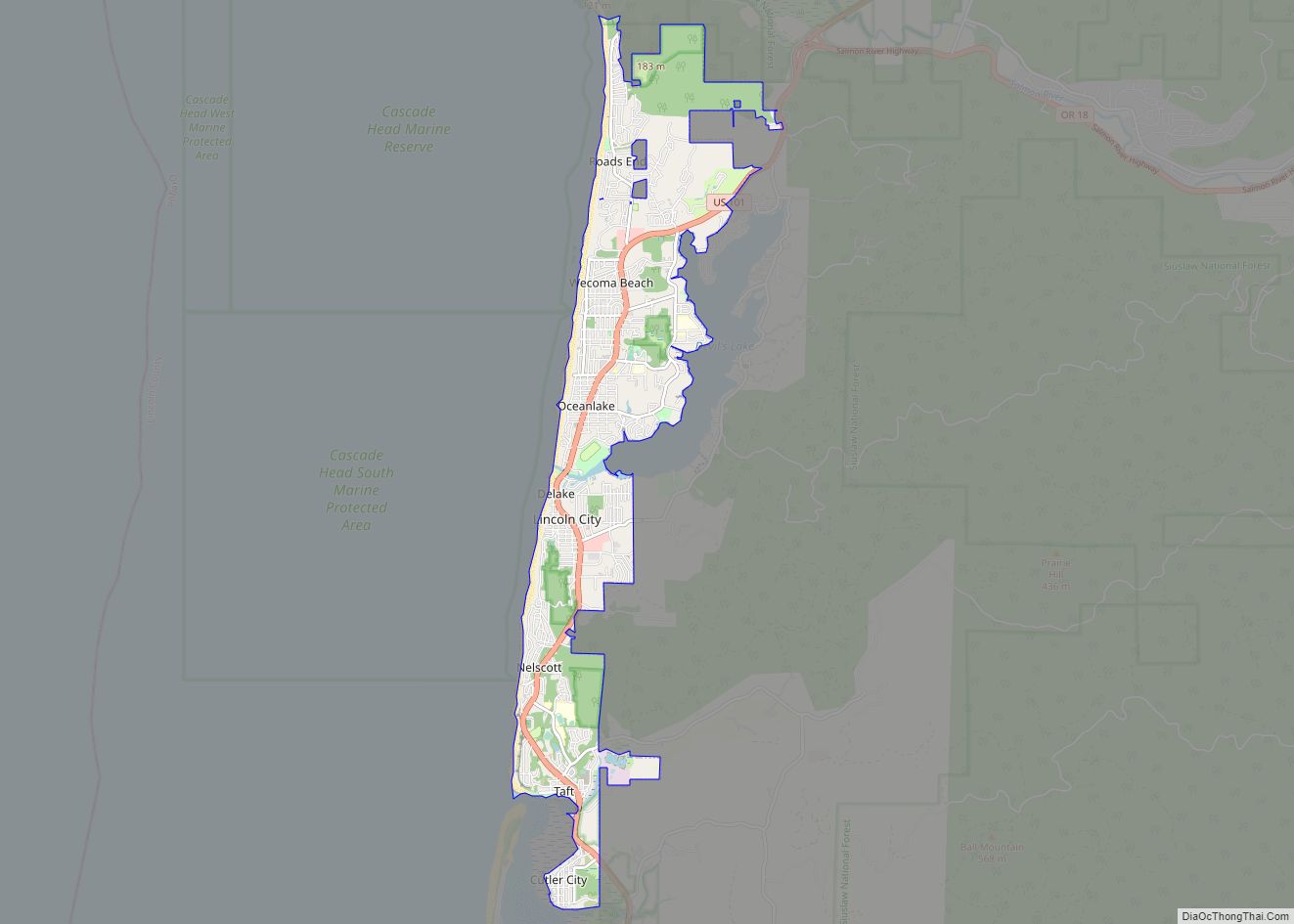
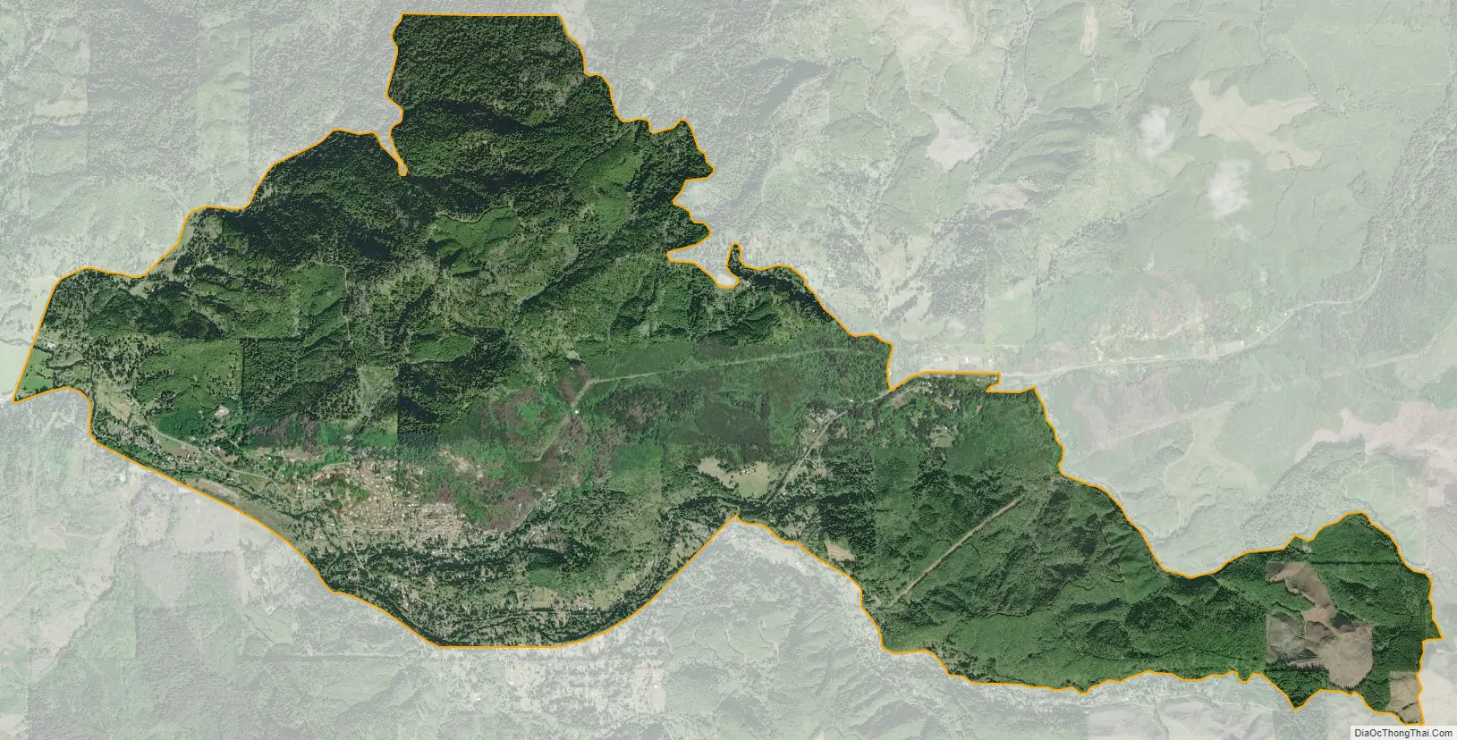
Rose Lodge city Satellite Map
Geography
Rose Lodge is in northern Lincoln County, with its northern border in part following the Tillamook County line. Oregon Route 18 runs through the community, leading west 4 miles (6 km) to U.S. Route 101 and east 40 miles (64 km) to McMinnville. Lincoln City is 10 miles (16 km) southwest of Rose Lodge via Routes 18 and 101.
According to the United States Census Bureau, the CDP has a total area of 9.6 square miles (24.8 km), all of it land. The center of town is 180 feet (55 m) above sea level, along the Salmon River, which flows west to the Pacific Ocean at Cascade Head.
See also
Map of Oregon State and its subdivision: Map of other states:- Alabama
- Alaska
- Arizona
- Arkansas
- California
- Colorado
- Connecticut
- Delaware
- District of Columbia
- Florida
- Georgia
- Hawaii
- Idaho
- Illinois
- Indiana
- Iowa
- Kansas
- Kentucky
- Louisiana
- Maine
- Maryland
- Massachusetts
- Michigan
- Minnesota
- Mississippi
- Missouri
- Montana
- Nebraska
- Nevada
- New Hampshire
- New Jersey
- New Mexico
- New York
- North Carolina
- North Dakota
- Ohio
- Oklahoma
- Oregon
- Pennsylvania
- Rhode Island
- South Carolina
- South Dakota
- Tennessee
- Texas
- Utah
- Vermont
- Virginia
- Washington
- West Virginia
- Wisconsin
- Wyoming