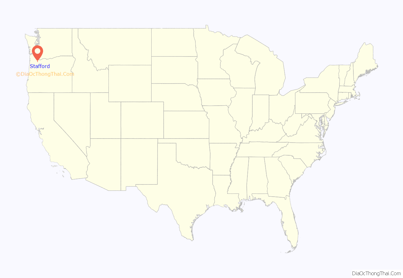
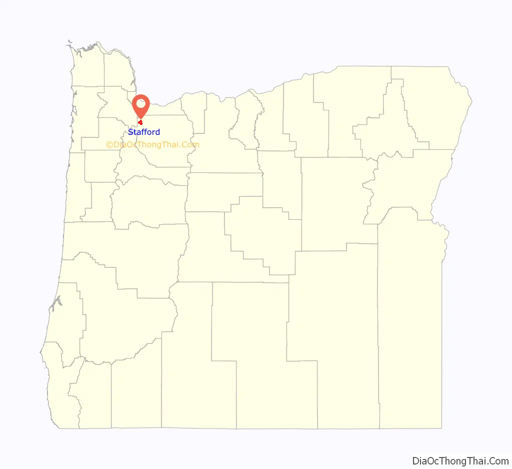
Stafford is an unincorporated community, classified as a hamlet, in Clackamas County, Oregon, United States. It is a census-designated place (CDP), with a population of 1,577 as of the 2010 census. The community covers approximately 15.7 km (3,900 acres) located in a rough triangle south of Lake Oswego, east of Tualatin, and west of West Linn. Students in the area attend the schools of the West Linn-Wilsonville School District.
| Name: | Stafford CDP |
|---|---|
| LSAD Code: | 57 |
| LSAD Description: | CDP (suffix) |
| State: | Oregon |
| County: | Clackamas County |
| Total Area: | 6.33 sq mi (16.39 km²) |
| Land Area: | 6.27 sq mi (16.24 km²) |
| Water Area: | 0.06 sq mi (0.15 km²) |
| Total Population: | 1,895 |
| Population Density: | 302.14/sq mi (116.66/km²) |
| ZIP code: | 97062, 97068 |
| Area code: | 503 and 971 |
| FIPS code: | 4169800 |
| GNISfeature ID: | 1127510 |
Online Interactive Map
Click on ![]() to view map in "full screen" mode.
to view map in "full screen" mode.
Stafford location map. Where is Stafford CDP?
History
Stafford was named by George A. Steel, a prominent Portland pioneer, after his hometown of Stafford, Ohio, in the 1860s. The Stafford School opened in the community in 1892, and the following year the Eastside Electric Railway owned by Steel reached the area. In 1895, the Wanker family moved to the area and bought land where they built a store and tavern, an area later to become Wankers Corner at the intersection of Stafford Road and Borland Road. It has frequently been noted on lists of unusual place names. The two buildings currently located at Wanker’s Corner are the Wanker’s Country Store and the Wanker’s Corner Saloon and Cafe. It is not a recognized community; it has never had a post office, nor does it consistently appear on maps of Oregon (although the AAA map of Oregon shows it in an inset). The United States Geological Survey classifies Wankers Corner as a “locale”: “a place at which there is or was human activity”.
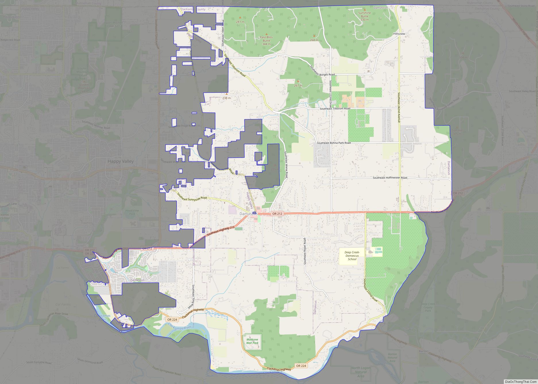
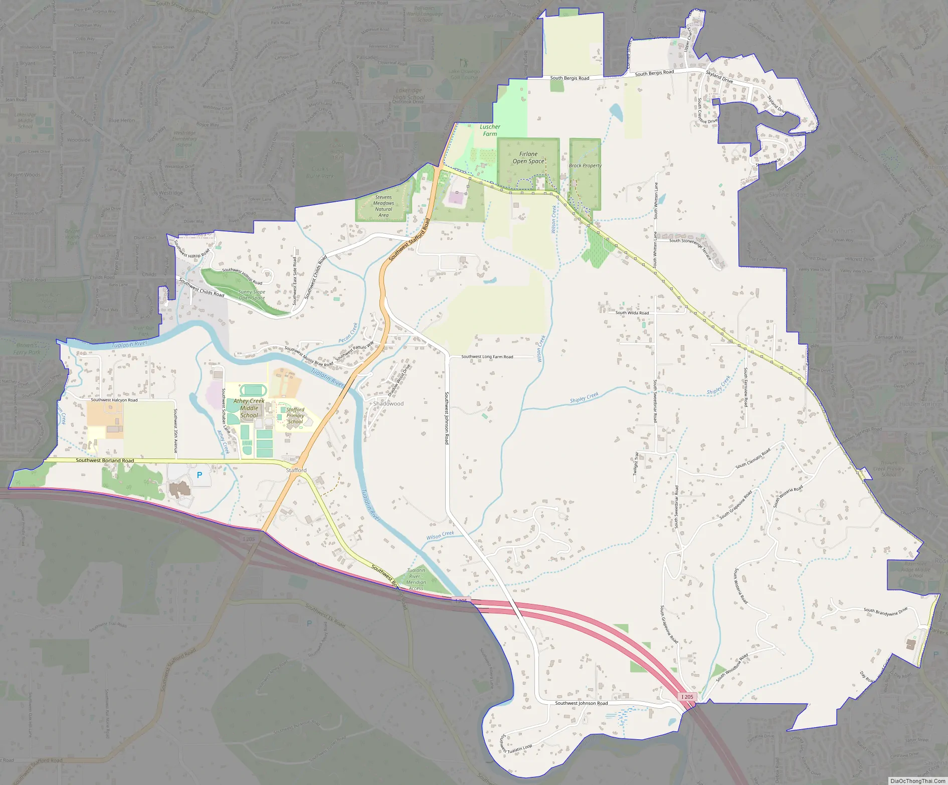
Stafford Road Map
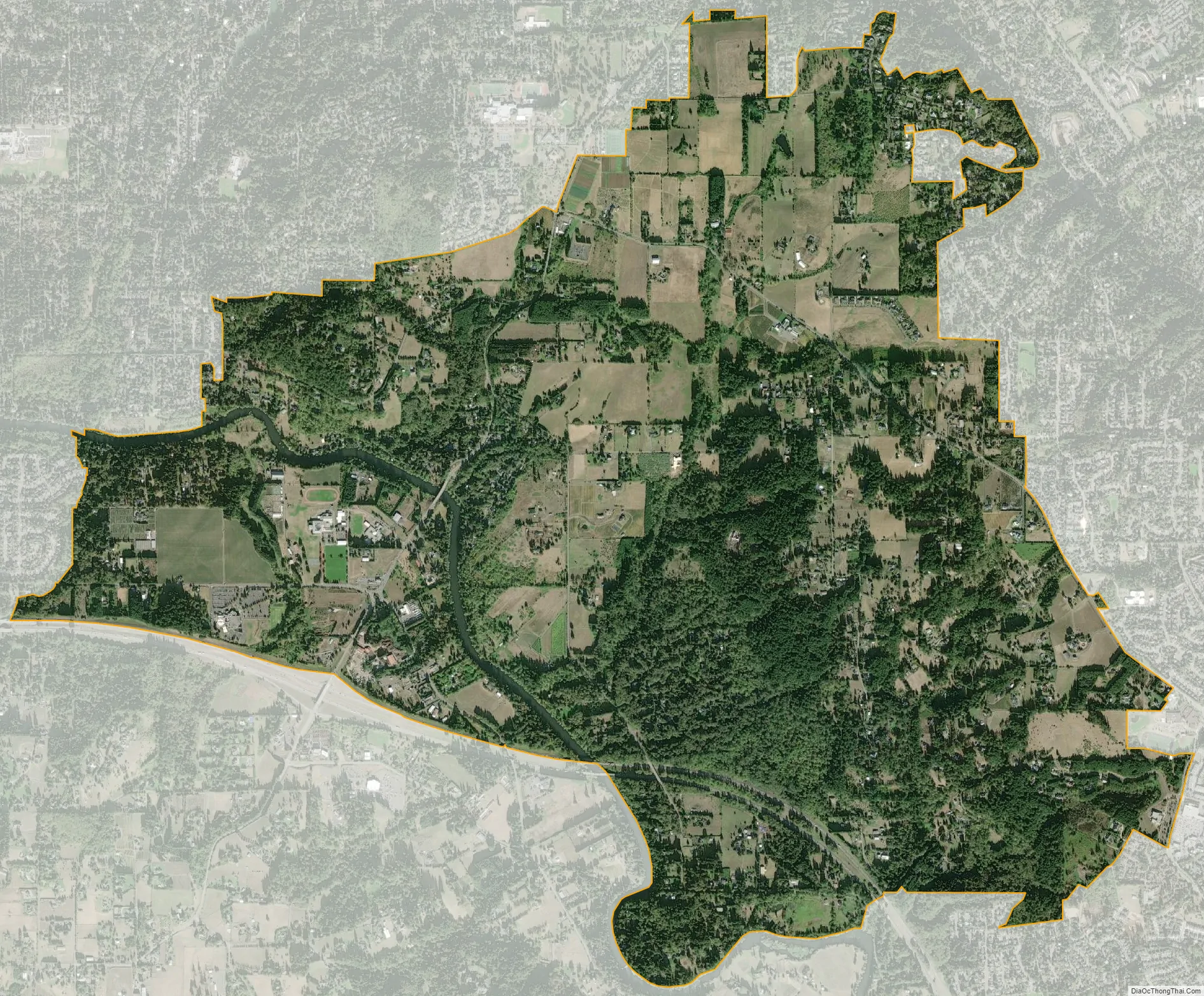
Stafford city Satellite Map
See also
Map of Oregon State and its subdivision: Map of other states:- Alabama
- Alaska
- Arizona
- Arkansas
- California
- Colorado
- Connecticut
- Delaware
- District of Columbia
- Florida
- Georgia
- Hawaii
- Idaho
- Illinois
- Indiana
- Iowa
- Kansas
- Kentucky
- Louisiana
- Maine
- Maryland
- Massachusetts
- Michigan
- Minnesota
- Mississippi
- Missouri
- Montana
- Nebraska
- Nevada
- New Hampshire
- New Jersey
- New Mexico
- New York
- North Carolina
- North Dakota
- Ohio
- Oklahoma
- Oregon
- Pennsylvania
- Rhode Island
- South Carolina
- South Dakota
- Tennessee
- Texas
- Utah
- Vermont
- Virginia
- Washington
- West Virginia
- Wisconsin
- Wyoming