Tualatin (/tuˈɔːlətɪn/ TWAW-lə-tin) is a city located primarily in Washington County in the U.S. state of Oregon. A small portion of the city is also located in neighboring Clackamas County. It is a southwestern suburb in the Portland Metropolitan Area that is located south of Tigard. The population was 27,942 at the 2020 census.
| Name: | Tualatin city |
|---|---|
| LSAD Code: | 25 |
| LSAD Description: | city (suffix) |
| State: | Oregon |
| County: | Clackamas County, Washington County |
| Incorporated: | 1913 |
| Elevation: | 123 ft (37.5 m) |
| Total Area: | 8.40 sq mi (21.75 km²) |
| Land Area: | 8.40 sq mi (21.75 km²) |
| Water Area: | 0.00 sq mi (0.00 km²) |
| Total Population: | 27,942 |
| Population Density: | 3,327.22/sq mi (1,284.69/km²) |
| ZIP code: | 97062 |
| Area code: | 503/971 |
| FIPS code: | 4174950 |
| GNISfeature ID: | 1128254 |
| Website: | www.tualatinoregon.gov |
Online Interactive Map
Click on ![]() to view map in "full screen" mode.
to view map in "full screen" mode.
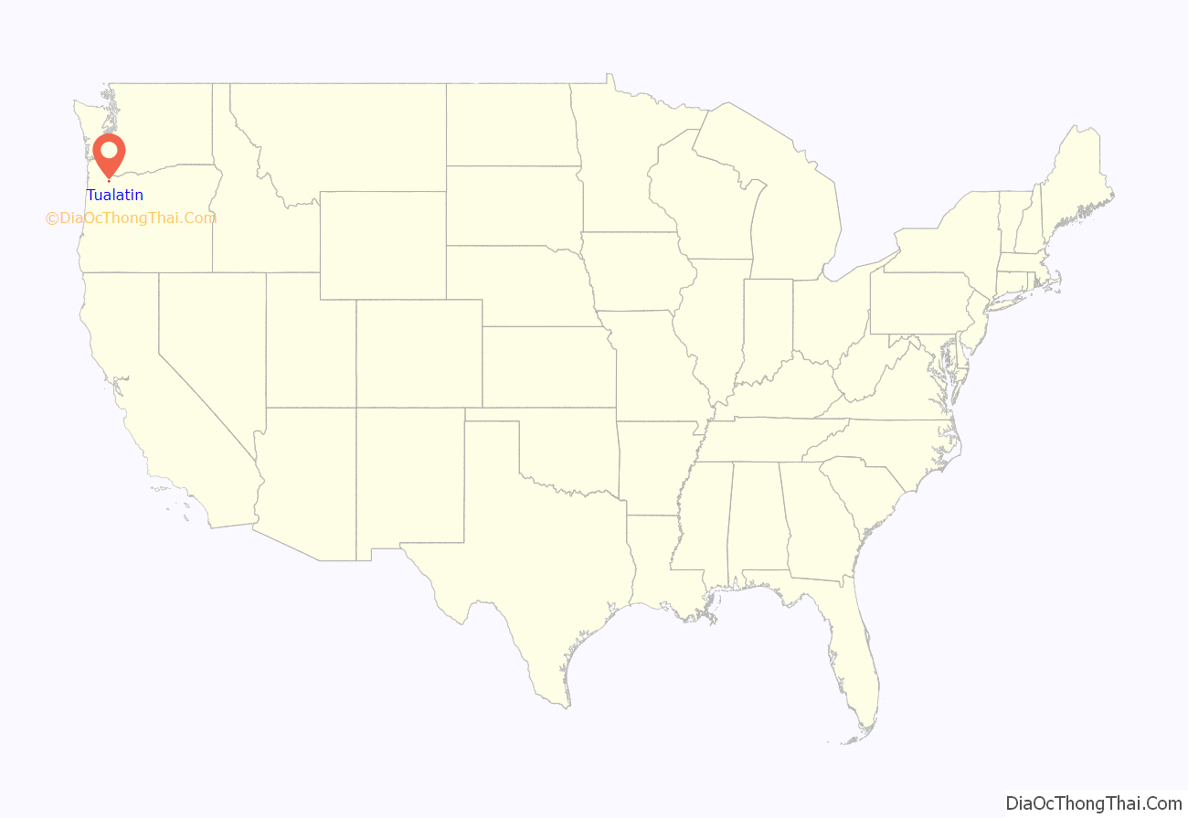
Tualatin location map. Where is Tualatin city?
History
The name of the city is taken from the Tualatin River, which flows along most of the city’s northern boundary. It is probably a Native American word meaning “lazy” or “sluggish” but possibly meaning “treeless plain” for the plain near the river or “forked” for its many tributaries. According to Oregon Geographic Names, a post office with the spelling “Tualitin” was established November 5, 1869, and the spelling changed to “Tualatin” in 1915.
In the 1850s, the settlement was first called Galbreath after its founder Samuel Galbreath. In 1853, Galbreath built the first bridge over the Tualatin river, and the town became known as Bridgeport. In the 1880s, John Sweek platted a town around the new railroad depot, and named the town Tualatin. It was incorporated as the City of Tualatin in 1913.
In 1962, a fossilized Mastodon (Mammut americanum) was excavated in what is now the Fred Meyer parking lot. It is now on display in the lobby of Tualatin Public Library. In 1972 fossils were uncovered near Fanno Creek that were determined to be a partial skeleton of a Harlan’s Ground Sloth (Paramylodon harlani).
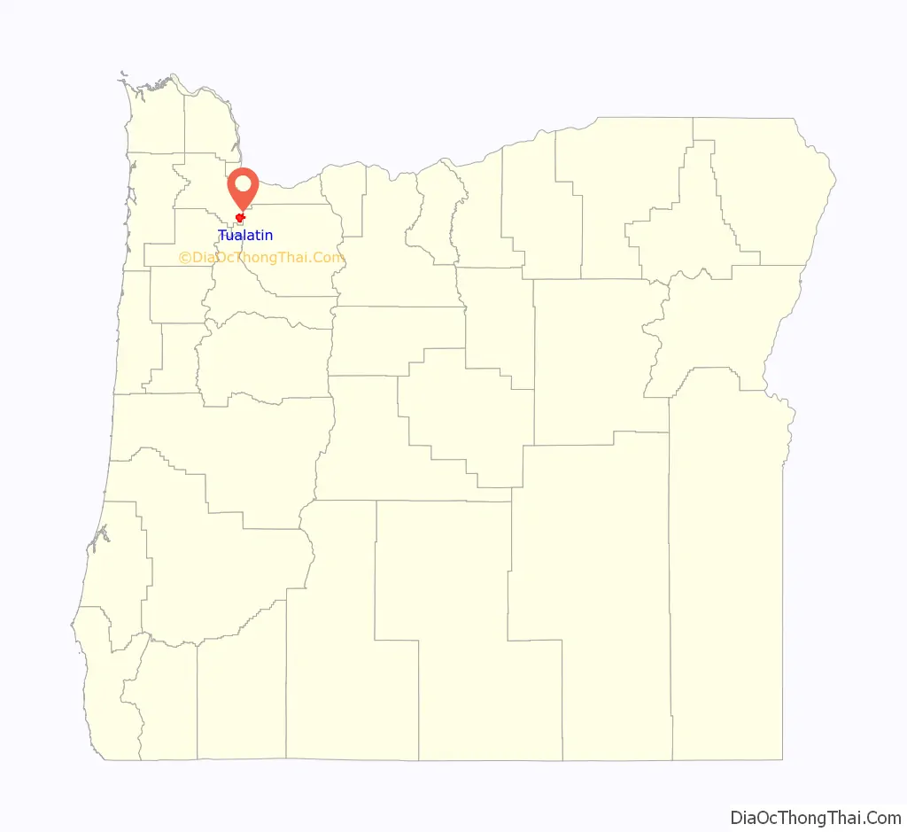
Tualatin Road Map

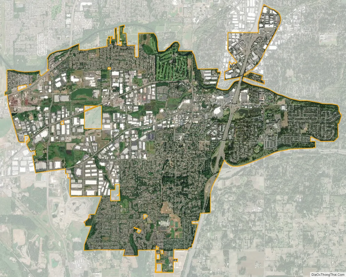
Tualatin city Satellite Map
Geography
According to the United States Census Bureau, the city has a total area of 8.23 square miles (21.32 km), of which 8.22 square miles (21.29 km) is land and 0.01 square miles (0.03 km) is water.
See also
Map of Oregon State and its subdivision: Map of other states:- Alabama
- Alaska
- Arizona
- Arkansas
- California
- Colorado
- Connecticut
- Delaware
- District of Columbia
- Florida
- Georgia
- Hawaii
- Idaho
- Illinois
- Indiana
- Iowa
- Kansas
- Kentucky
- Louisiana
- Maine
- Maryland
- Massachusetts
- Michigan
- Minnesota
- Mississippi
- Missouri
- Montana
- Nebraska
- Nevada
- New Hampshire
- New Jersey
- New Mexico
- New York
- North Carolina
- North Dakota
- Ohio
- Oklahoma
- Oregon
- Pennsylvania
- Rhode Island
- South Carolina
- South Dakota
- Tennessee
- Texas
- Utah
- Vermont
- Virginia
- Washington
- West Virginia
- Wisconsin
- Wyoming


