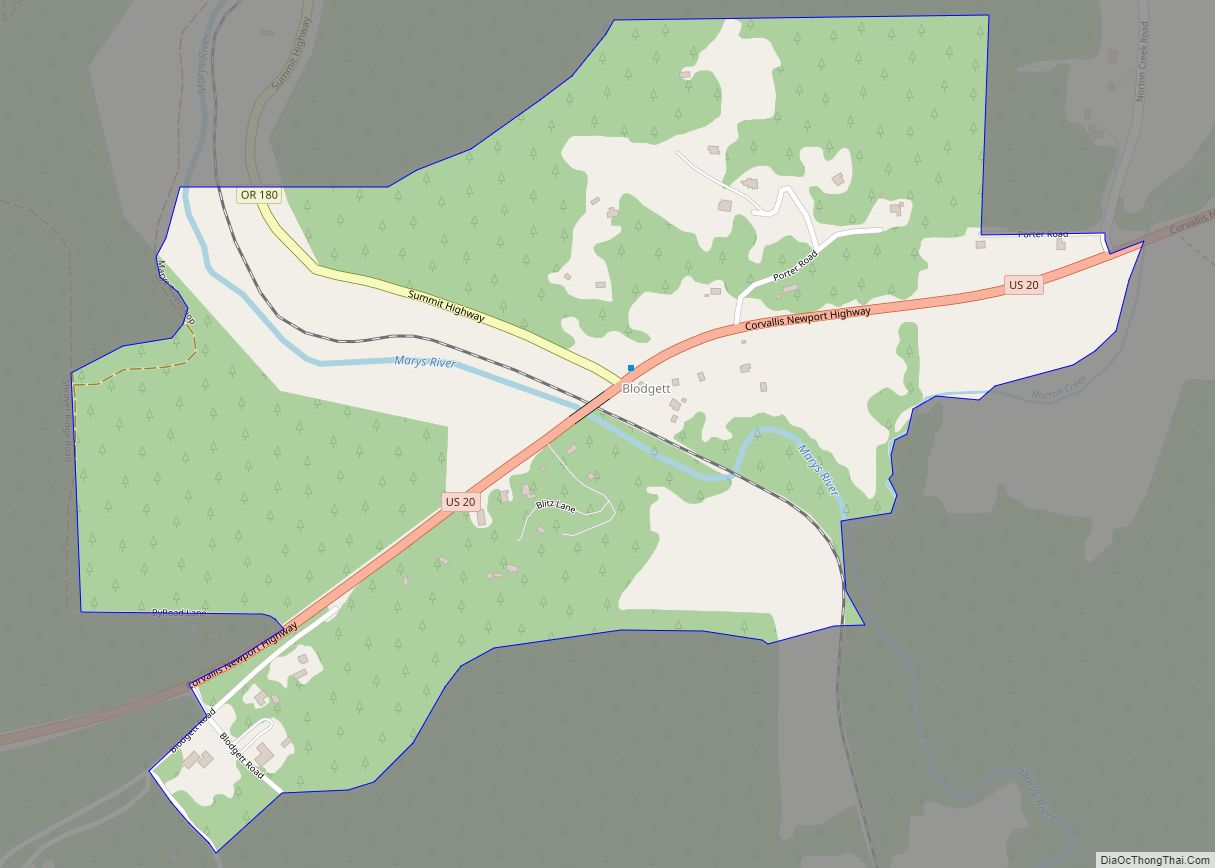
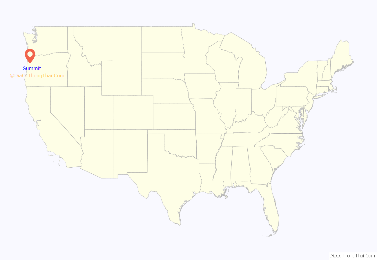
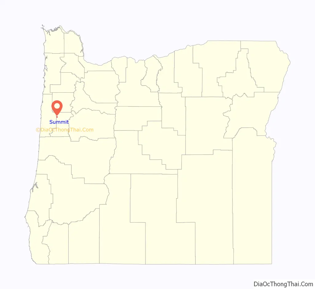
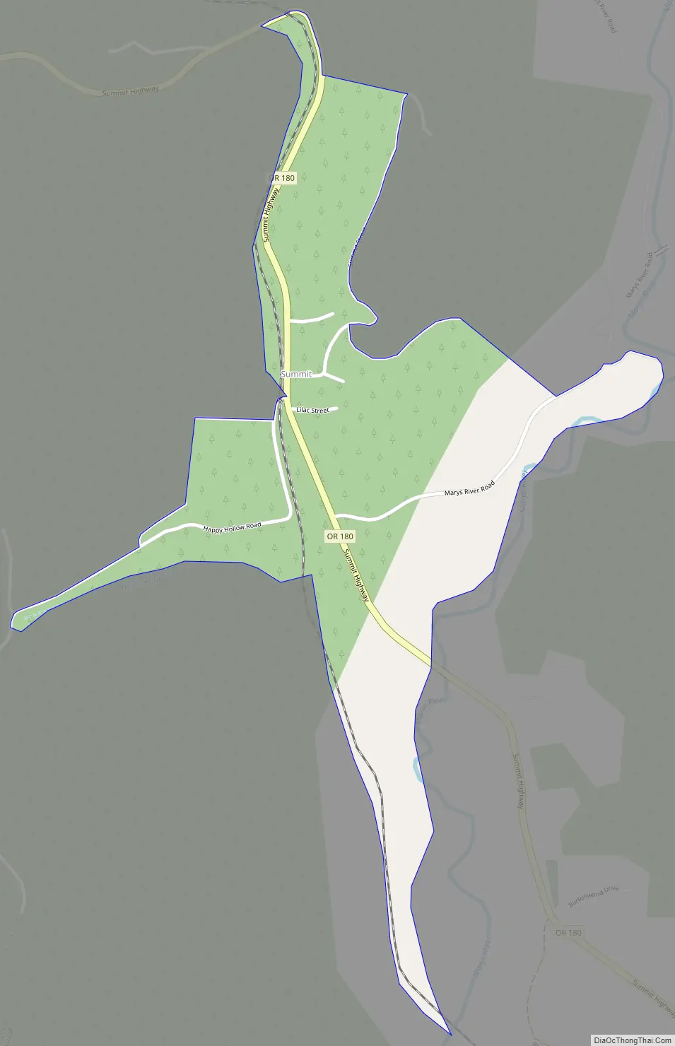
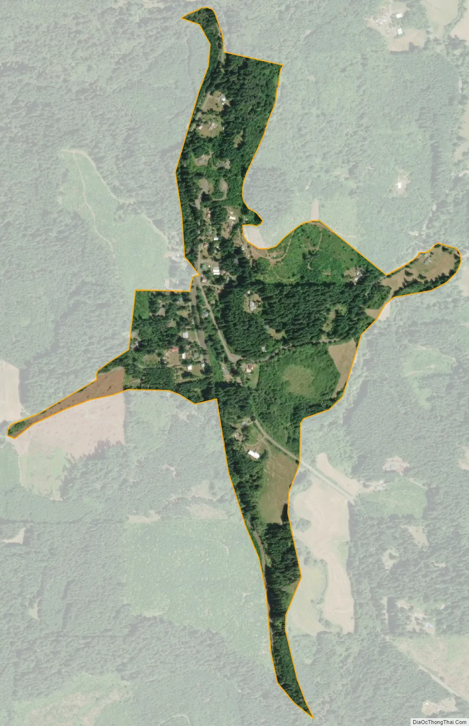
Summit is an unincorporated community and census-designated place in Benton County, Oregon, United States. At the 2010 census, it had a population of 82. Summit lies on Oregon Route 180 northwest of Blodgett. Summit has an elevation of 718 feet (219 m).
Since 1980 Summit is known locally for its small Summit Summer Festival on the third Saturday in August. At the Hippie-style gathering with food and music artisans offer their products, e.g. hand made knives, quilts; artists make their shows e.g. big soap bubbles and visitors get involved.
| Name: | Summit CDP |
|---|---|
| LSAD Code: | 57 |
| LSAD Description: | CDP (suffix) |
| State: | Oregon |
| County: | Benton County |
| Elevation: | 718 ft (219 m) |
| Total Area: | 0.32 sq mi (0.83 km²) |
| Land Area: | 0.32 sq mi (0.83 km²) |
| Water Area: | 0.00 sq mi (0.00 km²) |
| Total Population: | 72 |
| Population Density: | 225.71/sq mi (87.12/km²) |
| FIPS code: | 4170870 |
Online Interactive Map
Click on ![]() to view map in "full screen" mode.
to view map in "full screen" mode.
Summit location map. Where is Summit CDP?
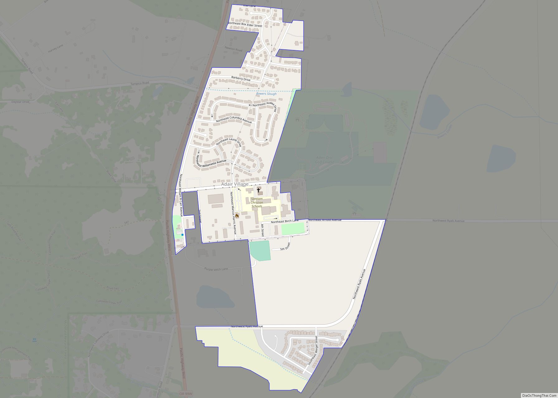
Summit Road Map
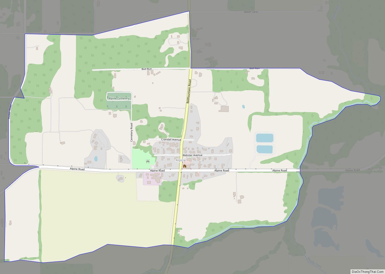
Summit city Satellite Map
See also
Map of Oregon State and its subdivision: Map of other states:- Alabama
- Alaska
- Arizona
- Arkansas
- California
- Colorado
- Connecticut
- Delaware
- District of Columbia
- Florida
- Georgia
- Hawaii
- Idaho
- Illinois
- Indiana
- Iowa
- Kansas
- Kentucky
- Louisiana
- Maine
- Maryland
- Massachusetts
- Michigan
- Minnesota
- Mississippi
- Missouri
- Montana
- Nebraska
- Nevada
- New Hampshire
- New Jersey
- New Mexico
- New York
- North Carolina
- North Dakota
- Ohio
- Oklahoma
- Oregon
- Pennsylvania
- Rhode Island
- South Carolina
- South Dakota
- Tennessee
- Texas
- Utah
- Vermont
- Virginia
- Washington
- West Virginia
- Wisconsin
- Wyoming