Tygh Valley is a census-designated place (CDP) and unincorporated community in Wasco County, Oregon, United States. The population was 224 at the 2000 census.
| Name: | Tygh Valley CDP |
|---|---|
| LSAD Code: | 57 |
| LSAD Description: | CDP (suffix) |
| State: | Oregon |
| County: | Wasco County |
| Elevation: | 1,142 ft (348 m) |
| Total Area: | 3.73 sq mi (9.66 km²) |
| Land Area: | 3.73 sq mi (9.66 km²) |
| Water Area: | 0.00 sq mi (0.00 km²) |
| Total Population: | 236 |
| Population Density: | 63.25/sq mi (24.42/km²) |
| ZIP code: | 97063 |
| Area code: | 458 and 541 |
| FIPS code: | 4175500 |
| GNISfeature ID: | 1136854 |
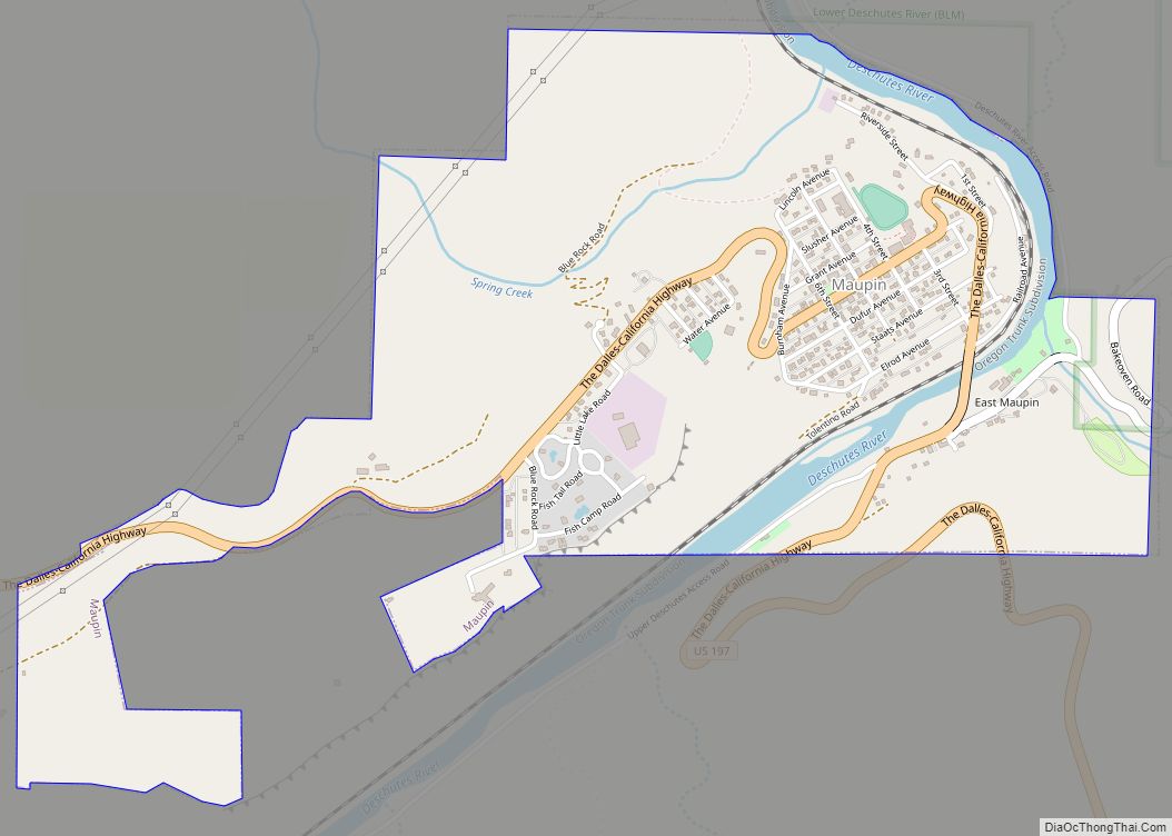
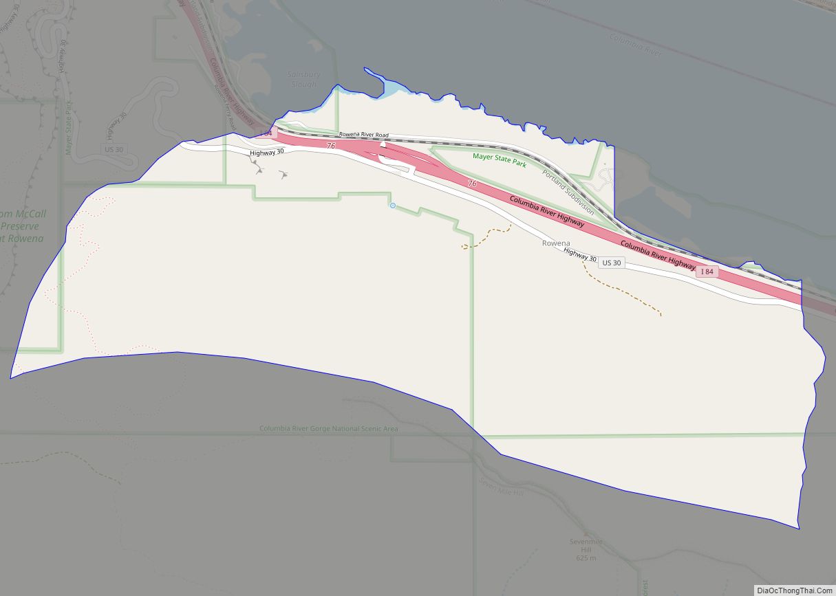
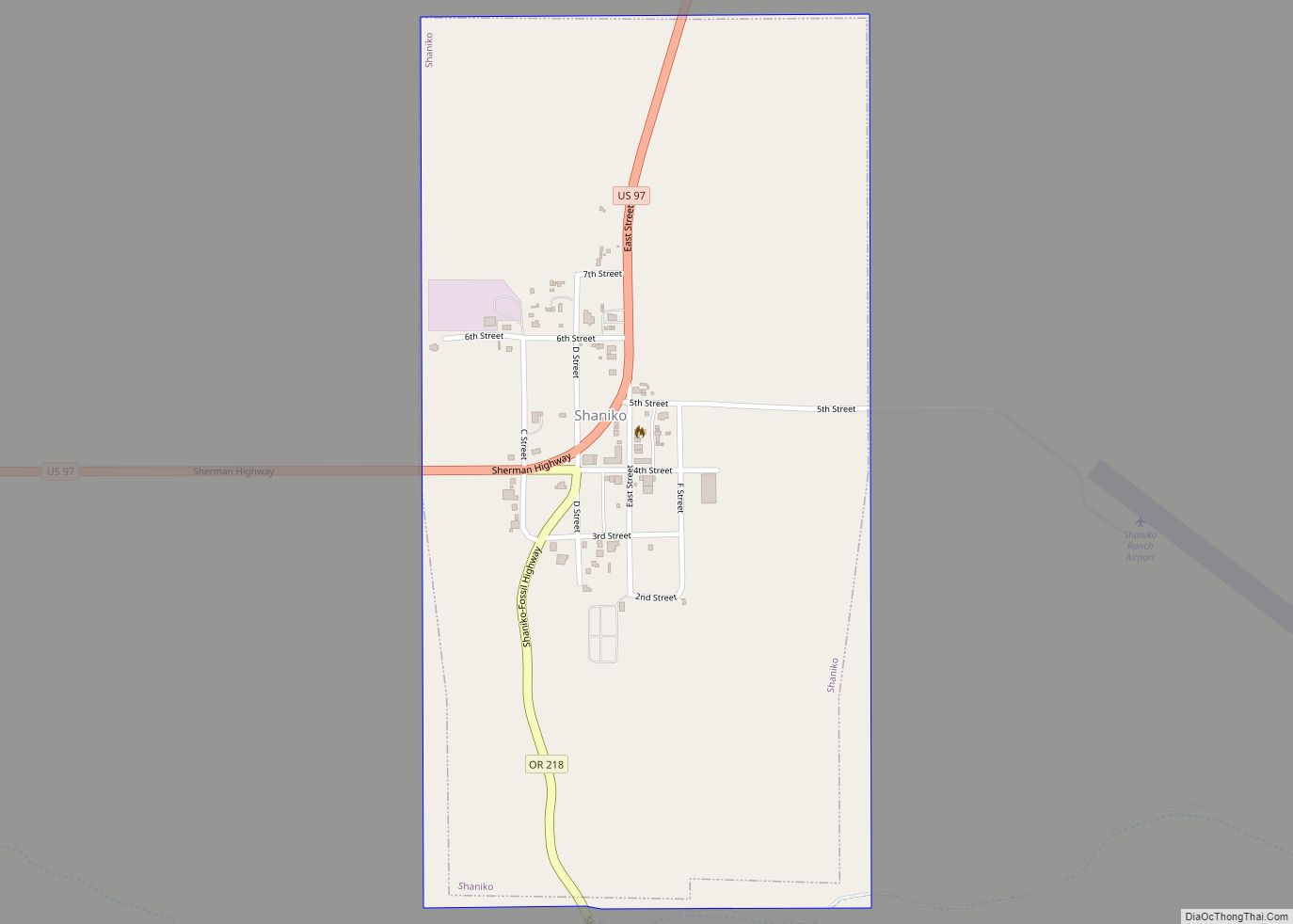
Online Interactive Map
Click on ![]() to view map in "full screen" mode.
to view map in "full screen" mode.
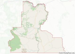
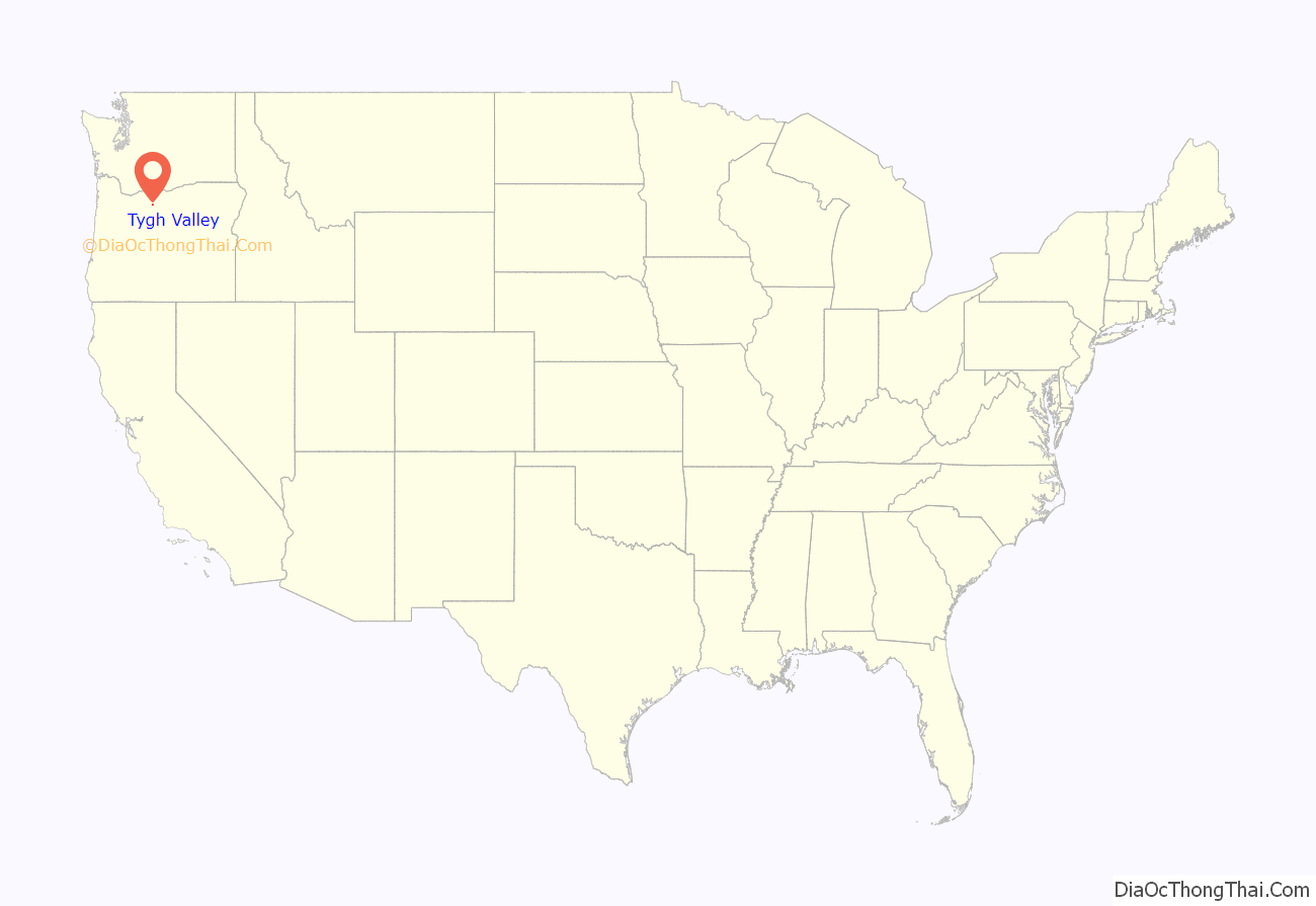
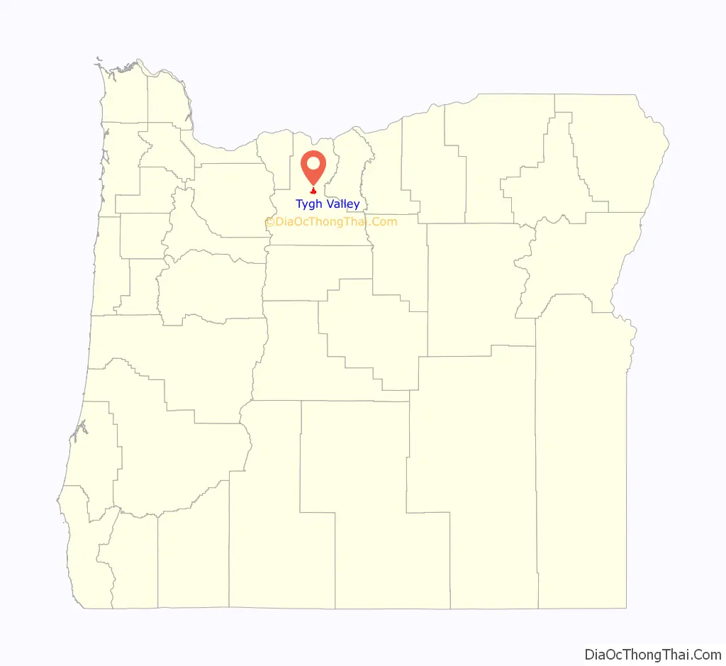
Tygh Valley location map. Where is Tygh Valley CDP?
History
Named for the Tygh (Taih, Tyigh) or “Upper Deschutes” Tenino people, Tygh Valley is considered by some to be the beginning of the Barlow Road because many wagon trains crossed the Deschutes River at Sherars Bridge and proceeded west bypassing The Dalles. However, the National Park Service treats the first tollgate site at Gate Creek on the White River as the beginning of the Barlow Road.
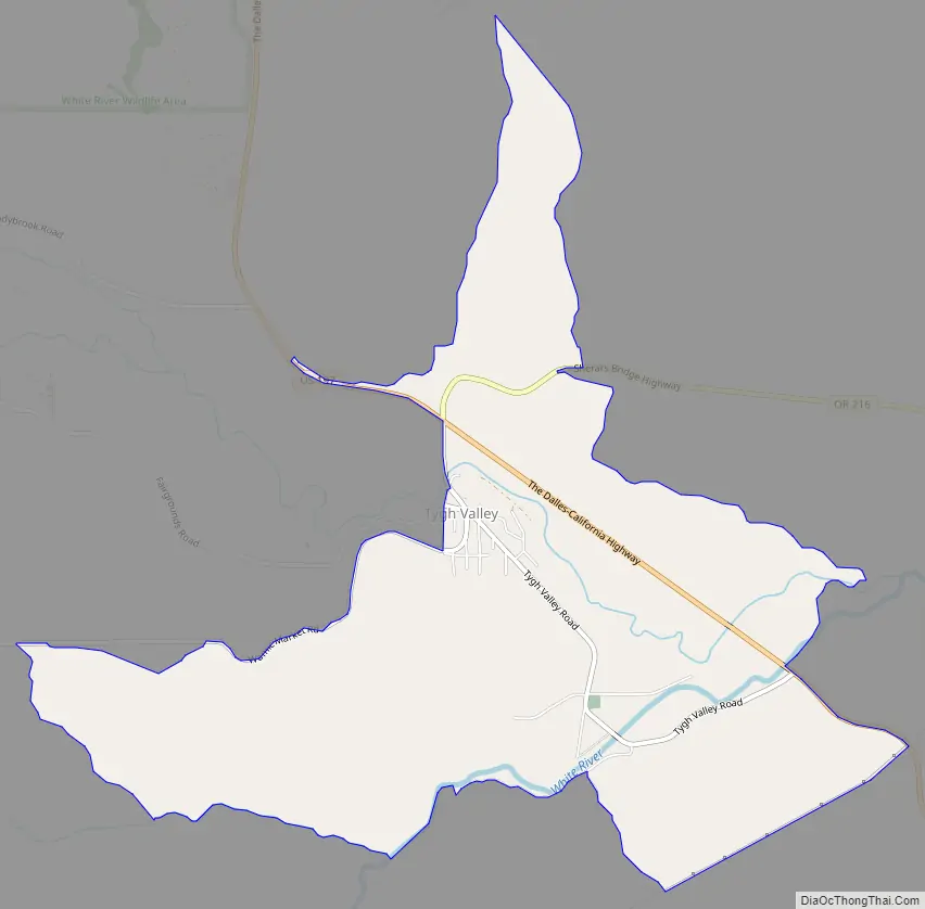
Tygh Valley Road Map
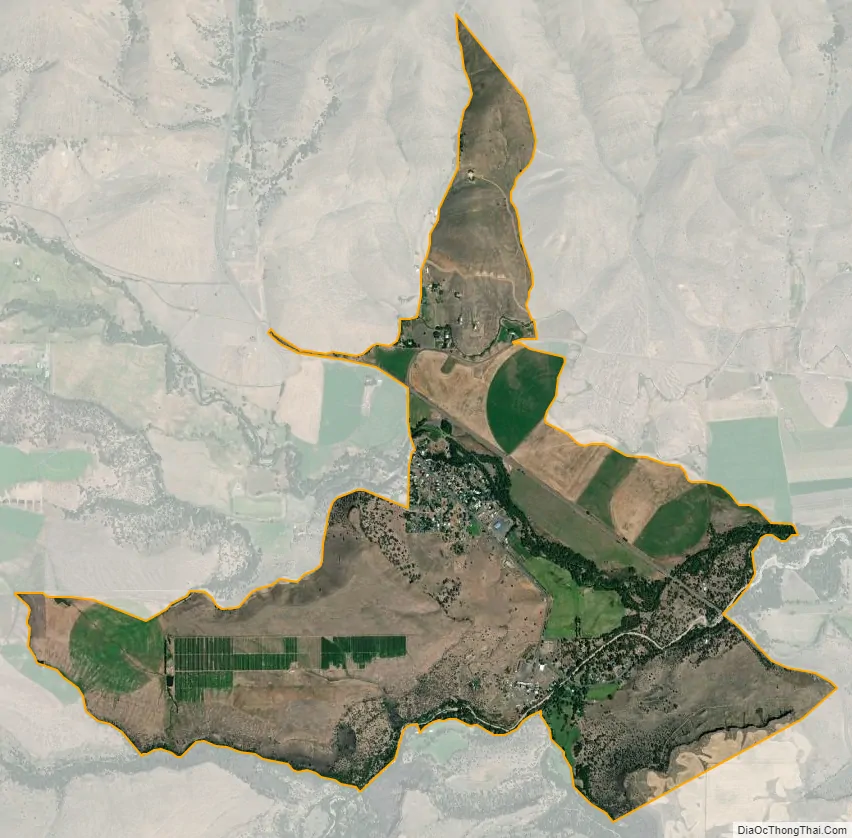
Tygh Valley city Satellite Map
Geography
Tygh Valley is located at 45°14′48″N 121°10′13″W / 45.24667°N 121.17028°W / 45.24667; -121.17028 (45.246747, -121.170213).
According to the United States Census Bureau, the CDP has a total area of 3.8 square miles (9.8 km), all of it land. The community is located 1,142 feet (348 m) above sea level.
Climate
- Annual Average High Temperatures: 86 °F (summer) 41 °F (winter)
- Annual Average Low Temperatures 50 °F (summer) 26 °F (winter)
- Highest Recorded Temperature: 116 °F (June 2021)
- Lowest Recorded Temperature: -28 °F (1950)
- Warmest Month: July
- Coolest Month: January
- Highest Precipitation: January
- Annual Precipitation: 13.37 inches
See also
Map of Oregon State and its subdivision: Map of other states:- Alabama
- Alaska
- Arizona
- Arkansas
- California
- Colorado
- Connecticut
- Delaware
- District of Columbia
- Florida
- Georgia
- Hawaii
- Idaho
- Illinois
- Indiana
- Iowa
- Kansas
- Kentucky
- Louisiana
- Maine
- Maryland
- Massachusetts
- Michigan
- Minnesota
- Mississippi
- Missouri
- Montana
- Nebraska
- Nevada
- New Hampshire
- New Jersey
- New Mexico
- New York
- North Carolina
- North Dakota
- Ohio
- Oklahoma
- Oregon
- Pennsylvania
- Rhode Island
- South Carolina
- South Dakota
- Tennessee
- Texas
- Utah
- Vermont
- Virginia
- Washington
- West Virginia
- Wisconsin
- Wyoming