Yachats (/ˈjɑːhɑːts/ YAH-hahts) is a small coastal city in the southernmost area of Lincoln County, Oregon, United States. According to Oregon Geographic Names, the name comes from the Siletz language and means “dark water at the foot of the mountain”. There is a range of differing etymologies, however. William Bright says the name comes from the Alsea placename yáx̣ayk (IPA: /ˈjaχajkʲ/). At the 2010 census, the city’s population was 690. In 2007, Budget Travel magazine named Yachats one of the “Ten Coolest Small Towns of the U.S.A.”, and Yachats was chosen among the top 10 U.S. up-and-coming vacation destinations by Virtualtourist. In 2015, Arthur Frommer, founder of Frommer’s Travel Guides, listed Yachats number eight among his ten favorite vacation destinations in the world.
| Name: | Yachats city |
|---|---|
| LSAD Code: | 25 |
| LSAD Description: | city (suffix) |
| State: | Oregon |
| County: | Lincoln County |
| Incorporated: | 1967 |
| Elevation: | 45 ft (13.7 m) |
| Total Area: | 0.92 sq mi (2.39 km²) |
| Land Area: | 0.91 sq mi (2.36 km²) |
| Water Area: | 0.01 sq mi (0.03 km²) |
| Total Population: | 994 |
| Population Density: | 1,091.11/sq mi (421.43/km²) |
| ZIP code: | 97498 |
| Area code: | 541 |
| FIPS code: | 4184200 |
| GNISfeature ID: | 1152681 |
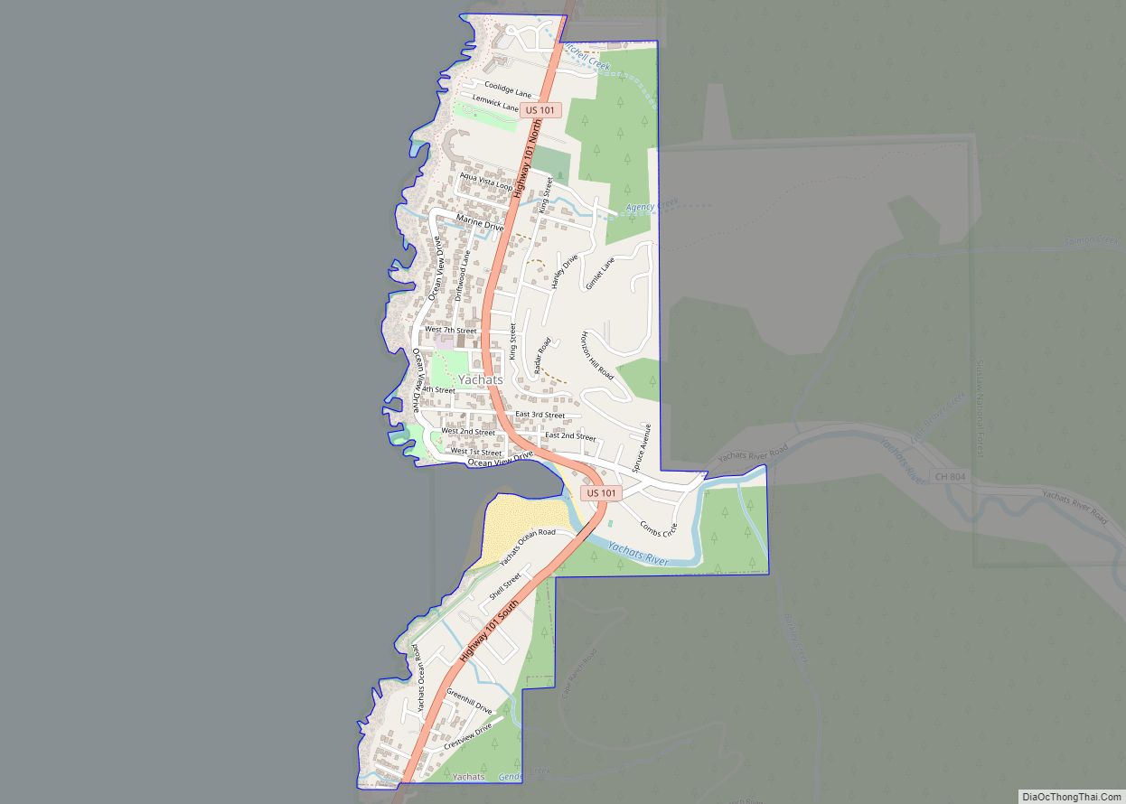
Online Interactive Map
Click on ![]() to view map in "full screen" mode.
to view map in "full screen" mode.
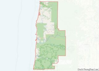
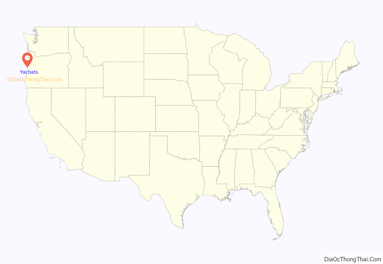
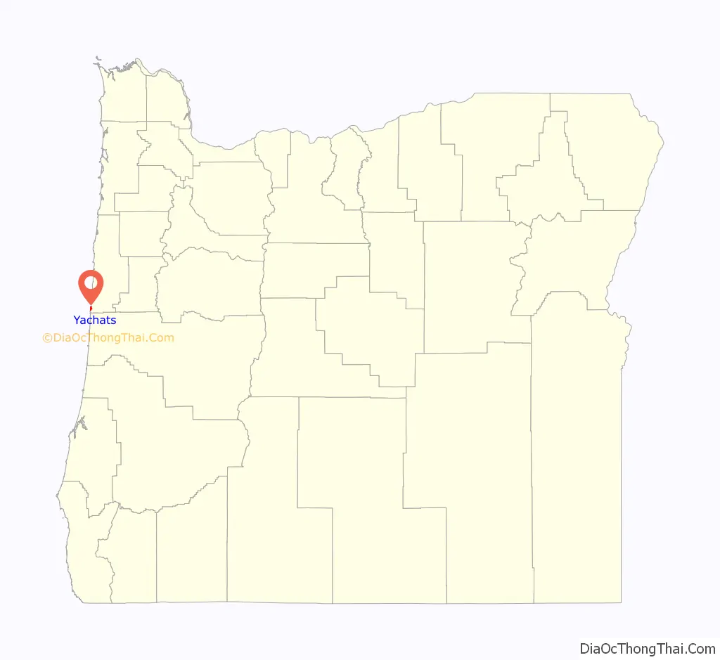
Yachats location map. Where is Yachats city?
History
Archeological studies have shown that the Yachats area has been inhabited for at least 1,500 years. Remains of a pit-house in Yachats have been radiocarbon dated at approximately 570 AD. Yachats is built on seashell middens and numerous graves left by its past inhabitants. Excavations for construction of buildings and U.S. Route 101 uncovered a great many skeletons and artifacts. Most of these became part of the fill dirt forming the base of the current highway and city.
For many centuries the Native Americans in this area were hunter-gatherers who migrated between summer camps and winter residences. The Alsea Tribe had as many as 20 permanent villages (used on an annually rotating basis) on the Alsea River and the central Oregon coast. Archeological and linguistic evidence support the existence of a southern Alsea village known as the Yahuch band, located on the coast at the Yachats River. By 1860, the Yahuch band was extinct, many having succumbed to European diseases such as smallpox and tuberculosis.
In order to open up land in the Coos Bay area for homesteading in the early 1860s, the U.S. Army forcibly marched the Coos and Lower Umpqua Indians 80 miles (130 km) north over rugged terrain to the Alsea Sub-Agency reservation in Yachats where the peaceful Indians, treated by the Army as though they were prisoners of war, were incarcerated. Amanda’s Trail, named for a blind Indian woman who suffered greatly on the march, was dedicated on July 19, 2009. The trail climbs 800 feet (240 m) from downtown Yachats to the summit of Cape Perpetua where it links with the extensive trail system of the Siuslaw National Forest.
In Yachats the hunter-gatherer tribes were forced to learn to make a living by agriculture. Crops planted near the ocean failed, resulting in many deaths from starvation. Approximately 300 Indians died in just 10 years. Twelve years after the Alsea Sub-Agency had opened, the Indians were allowed to establish a trail and develop agricultural plots up the Yachats River Valley, where they were able to grow potatoes, oats, wheat, and corn. They were also allowed to return to hunting. Once the Indians had built a new life there, the U.S. government opened up the area for homesteading in 1875, and once again, forced the Indians to move—some returned to their ancestral homelands, others went 40 miles (64 km) north to the Siletz Reservation. Many of the Indians died during this relocation.
Homesteaders used the Indian farms and trails to develop the Yachats area. In 1892 the first post office was established in Yachats (called Oceanview until it was renamed Yachats in 1917). Until Yachats could be reached by a macadam road, rains made it impossible for the mail to be carried by car. The Roosevelt Memorial Highway (now Highway 101), carved out of the rock of Cape Perpetua in 1931, changed all this by opening up a route from the town of Florence. Despite the early difficulties of reaching Yachats, the tourist industry began in 1905 with the conversion of a chittum bark warehouse into the first hotel. Today tourism is the city’s main industry.
Yachats was part of the war effort in both World Wars I and II. Spruce was needed for airplanes during World War I, and in 1918 the U.S. Army Signal Corps undertook logging at Camp 1, an area about 2 miles (3.2 km) north of Yachats. A railroad needed for transporting logs to a mill was completed just three days before the war ended. A private company continued the logging operations, however.
Early in World War II the West Shelter built by the Civilian Conservation Corps (CCC) near the top of Cape Perpetua was used as an observation site and radar station for the detection of enemy submarines and aircraft. In Yachats, foxholes and gun emplacements were installed along the ocean drive. Military personnel were housed in a local skating rink and the Ladies Club was rented for recreation. After the war, the U.S. Coast Guard discovered Japanese mines that had floated onto the beaches. These were hauled out to sea and destroyed.
The Little Log Church is a historical museum displaying many artifacts relating to Yachats’s past. The church, built in 1926, was designed in the shape of a cross. Sir Robert Perks, who owned most of Yachats at the time, provided the property; the logs were donated as well and the work was contributed by local citizens. The museum is now owned by the city.
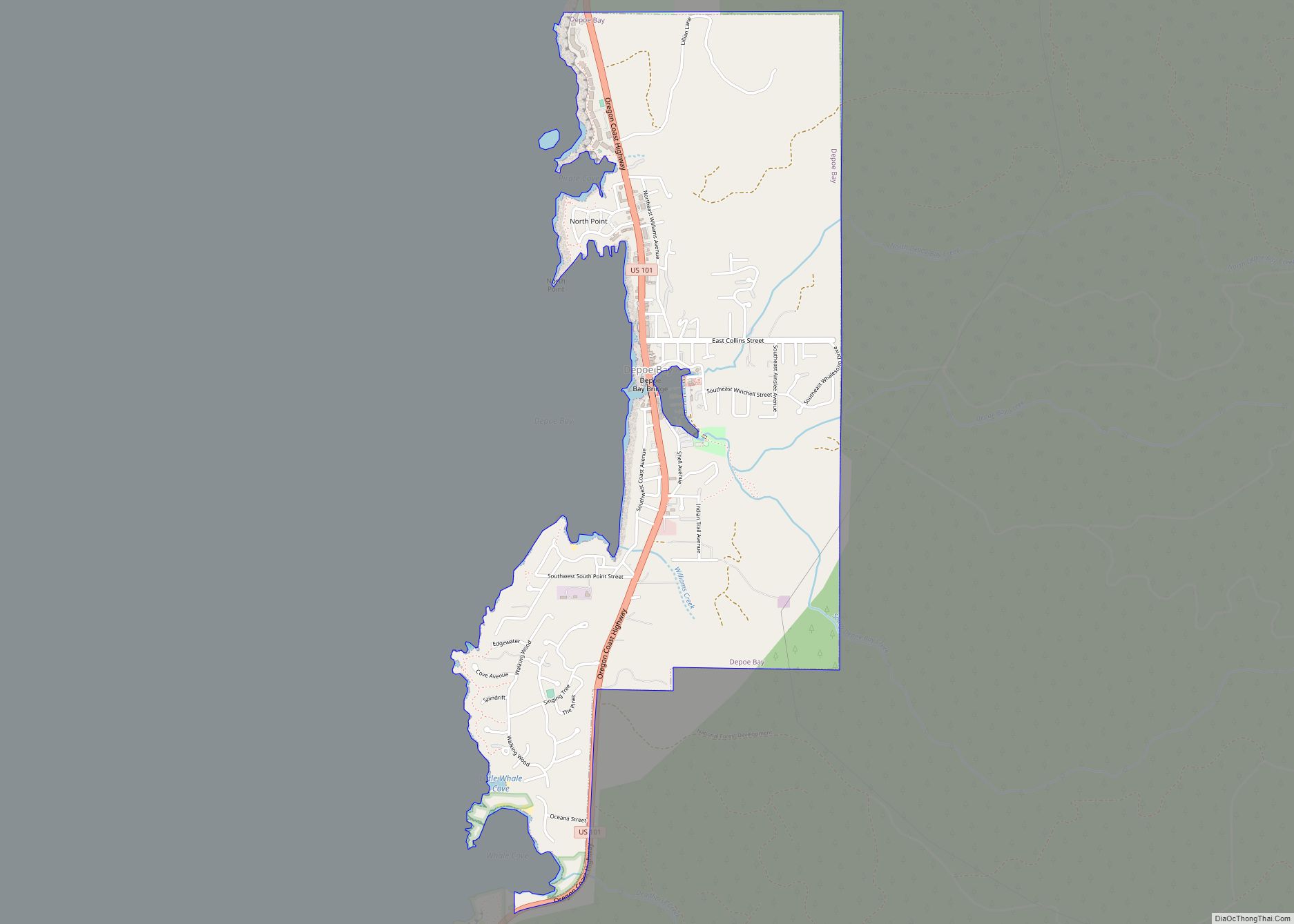
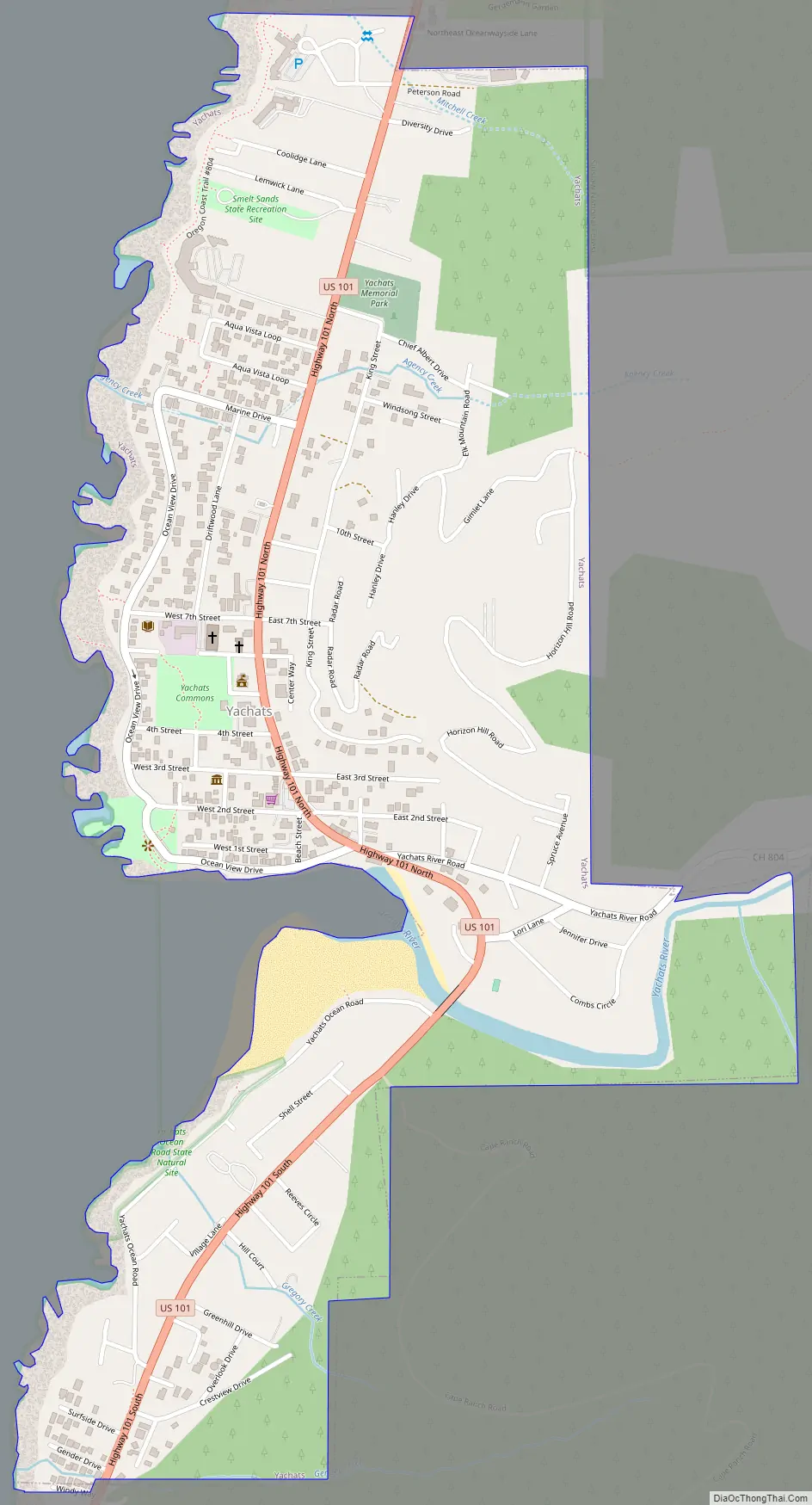
Yachats Road Map
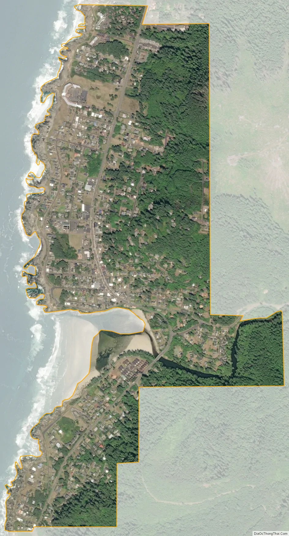
Yachats city Satellite Map
Geography
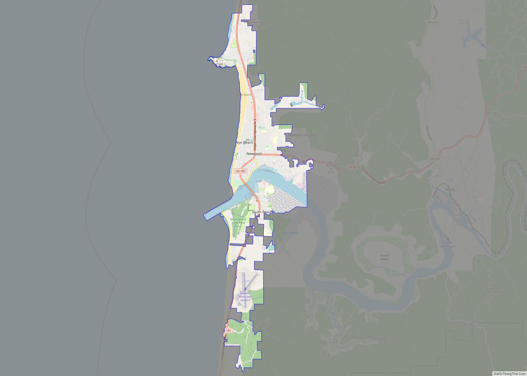
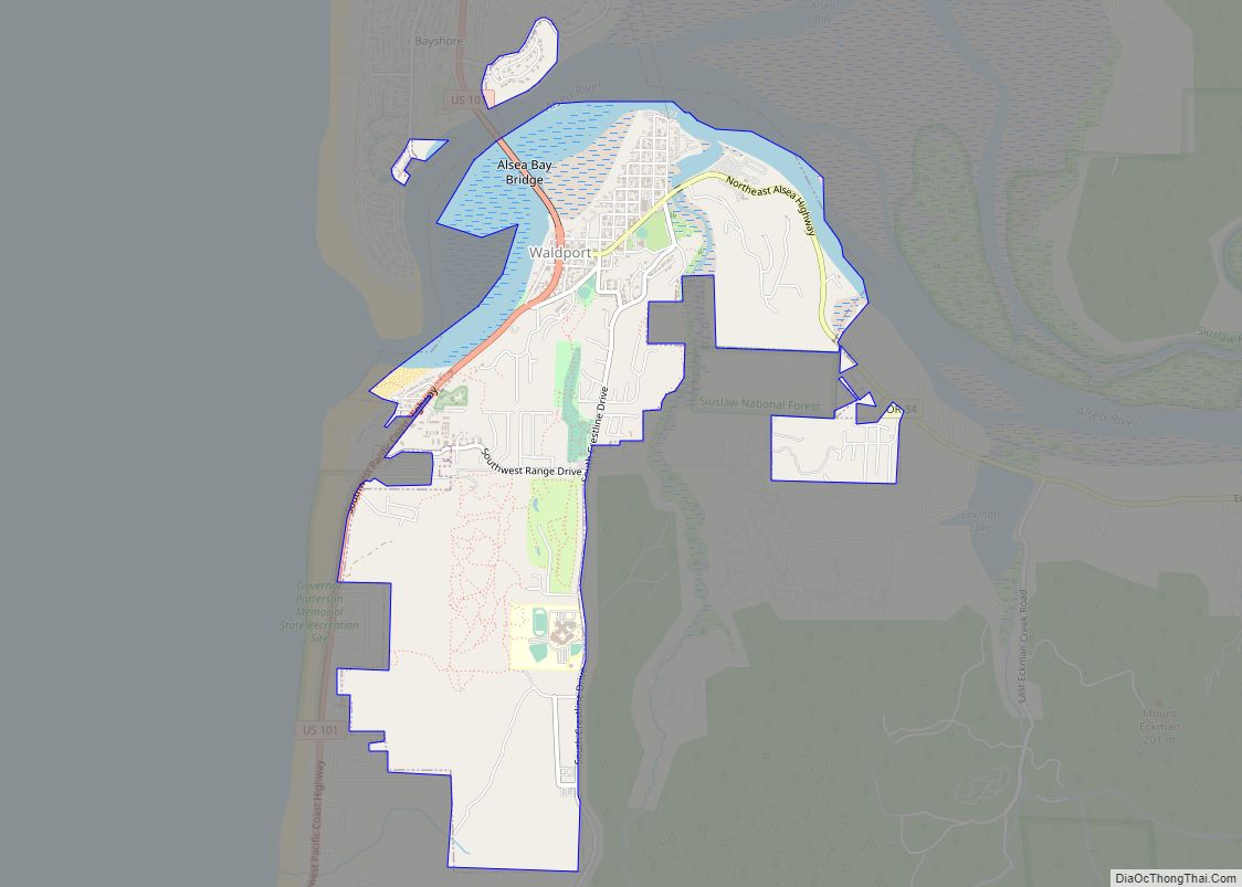
Yachats is the southernmost city in Lincoln County. It is bounded by the Central Oregon Coast Range on the east and the Pacific Ocean on the west. To the south is a rugged portion of highway around and just south of Cape Perpetua, connecting the city to Lane County on U.S. Route 101. Yachats is almost exactly halfway between the 2 most populous coastal cities in Lincoln and Lane Counties respectively, being 23 miles (37 km) north of Florence, 8 miles (13 km) south of Waldport, and 23 miles (37 km) south of Newport. The city straddles the Yachats River and estuary. According to the United States Census Bureau, the city has a total area of 0.92 square miles (2.38 km), of which, 0.91 square miles (2.36 km) is land and 0.01 square miles (0.03 km) is water.
The climate of Yachats is relatively mild throughout the year because of the moderating effects of the ocean currents. Temperatures rarely drop below 30 °F (−1 °C) in the winter or rise above 75 °F (24 °C) in the summer. The highest recorded temperature, however, was 100 °F (38 °C) in July 1961 and the record low was 1 °F (−17 °C) in December 1972. Snow is uncommon and only occurs in rare offshore flow events with deformation banding in Arctic fronts and overrunning low pressure systems that move inland to the south, but rainfall is quite heavy through the winter months and several storms come out of the Gulf of Alaska each winter.
See also
Map of Oregon State and its subdivision: Map of other states:- Alabama
- Alaska
- Arizona
- Arkansas
- California
- Colorado
- Connecticut
- Delaware
- District of Columbia
- Florida
- Georgia
- Hawaii
- Idaho
- Illinois
- Indiana
- Iowa
- Kansas
- Kentucky
- Louisiana
- Maine
- Maryland
- Massachusetts
- Michigan
- Minnesota
- Mississippi
- Missouri
- Montana
- Nebraska
- Nevada
- New Hampshire
- New Jersey
- New Mexico
- New York
- North Carolina
- North Dakota
- Ohio
- Oklahoma
- Oregon
- Pennsylvania
- Rhode Island
- South Carolina
- South Dakota
- Tennessee
- Texas
- Utah
- Vermont
- Virginia
- Washington
- West Virginia
- Wisconsin
- Wyoming