Folly Beach is a public city on Folly Island in Charleston County, South Carolina, United States. The population was 2,617 at the 2010 census, up from 2,116 in 2000. Folly Beach is within the Charleston-North Charleston-Summerville metropolitan area and the Charleston-North Charleston Urbanized Areas.
| Name: | Folly Beach city |
|---|---|
| LSAD Code: | 25 |
| LSAD Description: | city (suffix) |
| State: | South Carolina |
| County: | Charleston County |
| Incorporated: | 1938 (town), 1973 (city) |
| Elevation: | 16 ft (5 m) |
| Total Area: | 18.87 sq mi (48.87 km²) |
| Land Area: | 12.51 sq mi (32.39 km²) |
| Water Area: | 6.36 sq mi (16.48 km²) |
| Total Population: | 2,078 |
| Population Density: | 166.15/sq mi (64.15/km²) |
| ZIP code: | 29439 |
| Area code: | 843, 854 |
| FIPS code: | 4526035 |
| GNISfeature ID: | 1231287 |
| Website: | www.cityoffollybeach.com |
Online Interactive Map
Click on ![]() to view map in "full screen" mode.
to view map in "full screen" mode.
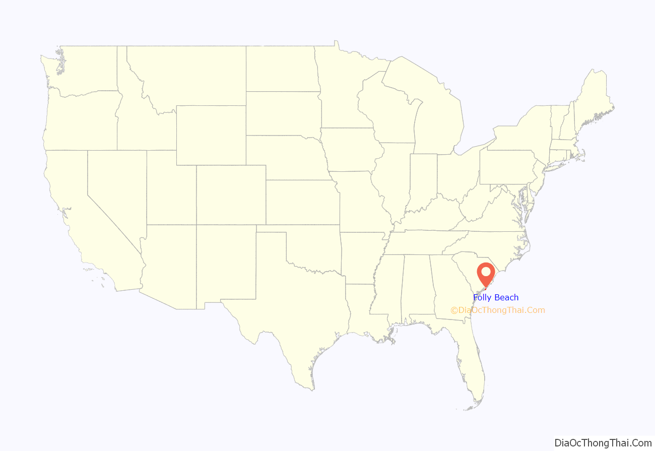
Folly Beach location map. Where is Folly Beach city?
History
The Folly North Site (38CH1213) and Secessionville Historic District are listed on the National Register of Historic Places.
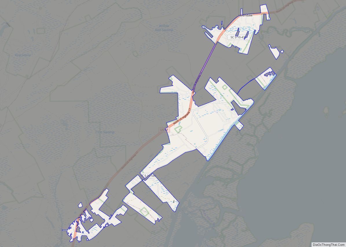
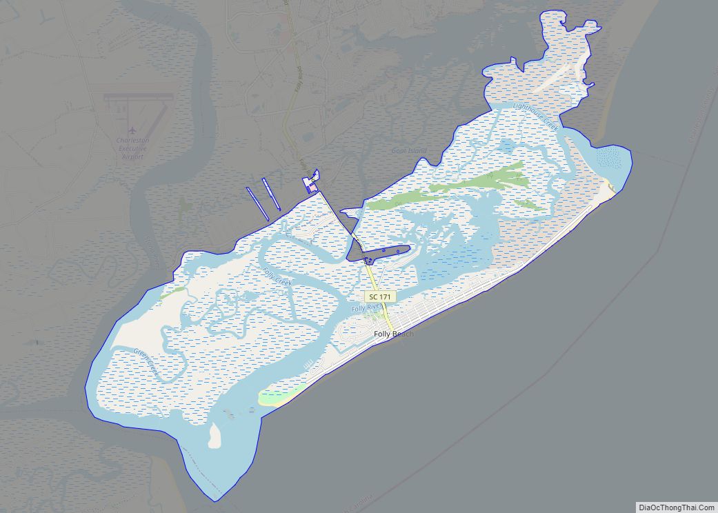
Folly Beach Road Map
Folly Beach city Satellite Map
Geography
Folly Beach is 11 miles (18 km) south of downtown Charleston at 32°39′58″N 79°56′21″W / 32.66611°N 79.93917°W / 32.66611; -79.93917 (32.666152, -79.939213), along the Atlantic Ocean.
According to the United States Census Bureau, the city has an area of 18.9 square miles (48.9 km), of which 12.5 square miles (32.4 km) is land and 6.4 square miles (16.5 km), or 33.72%, is water.
Known to Charleston locals as “the Edge of America”, Folly Beach is home to numerous surf spots, the most popular being the Washout, 10th Street and the Folly Beach Pier. Despite its usually calm conditions, Folly Beach has gained prominence as one of the more popular surf spots along the East Coast. Folly Beach is an eclectic beach community with surf shops, restaurants, gift shops, offices, and bars along Center Street; the main road and gateway to the community.
Endangered North Atlantic right whales, the state animal of Georgia and South Carolina, migrate along the coast during the migration seasons.
See also
Map of South Carolina State and its subdivision:- Abbeville
- Aiken
- Allendale
- Anderson
- Bamberg
- Barnwell
- Beaufort
- Berkeley
- Calhoun
- Charleston
- Cherokee
- Chester
- Chesterfield
- Clarendon
- Colleton
- Darlington
- Dillon
- Dorchester
- Edgefield
- Fairfield
- Florence
- Georgetown
- Greenville
- Greenwood
- Hampton
- Horry
- Jasper
- Kershaw
- Lancaster
- Laurens
- Lee
- Lexington
- Marion
- Marlboro
- McCormick
- Newberry
- Oconee
- Orangeburg
- Pickens
- Richland
- Saluda
- Spartanburg
- Sumter
- Union
- Williamsburg
- York
- Alabama
- Alaska
- Arizona
- Arkansas
- California
- Colorado
- Connecticut
- Delaware
- District of Columbia
- Florida
- Georgia
- Hawaii
- Idaho
- Illinois
- Indiana
- Iowa
- Kansas
- Kentucky
- Louisiana
- Maine
- Maryland
- Massachusetts
- Michigan
- Minnesota
- Mississippi
- Missouri
- Montana
- Nebraska
- Nevada
- New Hampshire
- New Jersey
- New Mexico
- New York
- North Carolina
- North Dakota
- Ohio
- Oklahoma
- Oregon
- Pennsylvania
- Rhode Island
- South Carolina
- South Dakota
- Tennessee
- Texas
- Utah
- Vermont
- Virginia
- Washington
- West Virginia
- Wisconsin
- Wyoming
