West Valley City is a city in Salt Lake County and a suburb of Salt Lake City in the U.S. state of Utah. The population was 140,230 at the 2020 census, making it the second-largest city in Utah. The city incorporated in 1980 from a large, quickly growing unincorporated area, combining the four communities of Granger, Hunter, Chesterfield, and Redwood. It is home to the Maverik Center and USANA Amphitheatre.
| Name: | West Valley City city |
|---|---|
| LSAD Code: | 25 |
| LSAD Description: | city (suffix) |
| State: | Utah |
| County: | Salt Lake County |
| Incorporated: | 1980 |
| Elevation: | 4,304 ft (1,312 m) |
| Total Area: | 35.88 sq mi (92.92 km²) |
| Land Area: | 35.83 sq mi (92.79 km²) |
| Water Area: | 0.05 sq mi (0.14 km²) |
| Total Population: | 140,230 |
| Population Density: | 3,913.76/sq mi (1,511.11/km²) |
| Area code: | 385, 801 |
| FIPS code: | 4983470 |
| GNISfeature ID: | 1437843 |
| Website: | www.wvc-ut.gov |
Online Interactive Map
Click on ![]() to view map in "full screen" mode.
to view map in "full screen" mode.
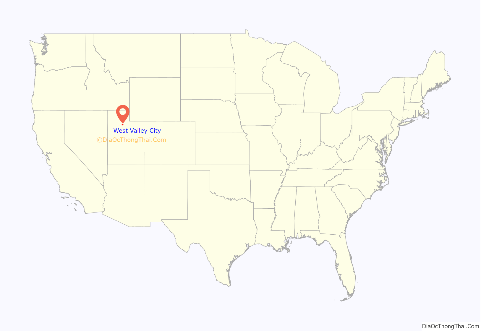
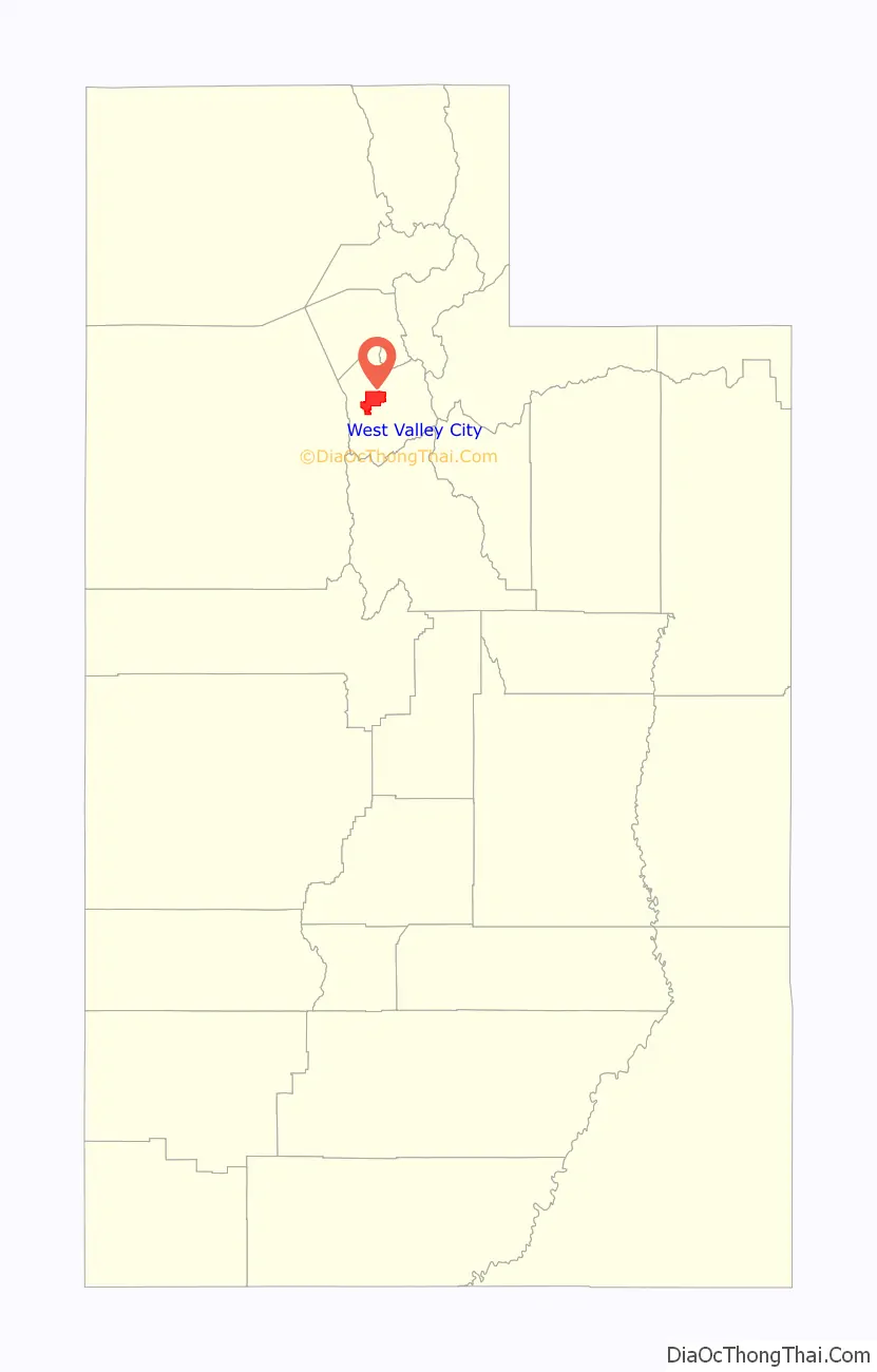
West Valley City location map. Where is West Valley City city?
History
The earliest known residents of the western Salt Lake Valley were Native American bands of the Ute and Shoshoni tribes.
The first European people to live in the area were the Latter-day Saints. The Euro-Americans arrived in the Salt Lake Valley in 1847. The area was first staked out by settler Joseph Harker and his family in the area they named as “over Jordan” (referring to the land west of the Jordan River, which runs through the valley).
The Granger area was settled by Welsh pioneers who had come to Utah with Dan Jones in 1849. Irrigation systems and agriculture were developed in the area, and it was Elias Smith who proposed the area’s name on account of its successful farming. Granger and vicinity had about 1,000 people in 1930.
Hunter was not settled until 1876. This settlement was started by Rasmus Nielson, Edward Rushton, August Larsen and about seven others along with their families. Irrigation began in 1881 and the main crop was fruit trees.
The city began to experience rapid growth in the 1970s, when the area that is now West Valley City consisted of the four separate communities of Hunter, Granger, Chesterfield, and Redwood. These four unincorporated areas merged in 1980 to form the present-day city. During the 2002 Olympic Winter Games, West Valley City was the official venue for men’s and women’s ice hockey.
On May 19, 2011, the city unveiled an official plan to create a downtown area for the city over the course of 10 years, building on plans and development that already existed. It will be known as Fairbourne Station (named after Joseph Fairbourne, an early settler who operated a weigh station in the area in the late 19th century) and will consist of approximately 40 acres (16 ha), costing $500 million to build. The center will include a civic center (consisting of city hall, a courthouse, police headquarters, and a library), an eight-story Embassy Suites hotel, a plaza, and residential development, as well as the end of the TRAX Green Line, and a stop on the 3500 South MAX bus rapid transit line. Valley Fair Mall and the Maverik Center are located nearby, as is I-215. As of 2016 of the development is incomplete, with the TRAX line having opened in 2011 and the hotel in 2012, but the City Hall and government center are under construction.
Serial killer Ted Bundy was arrested in Granger on August 16, 1975, on a routine traffic stop.
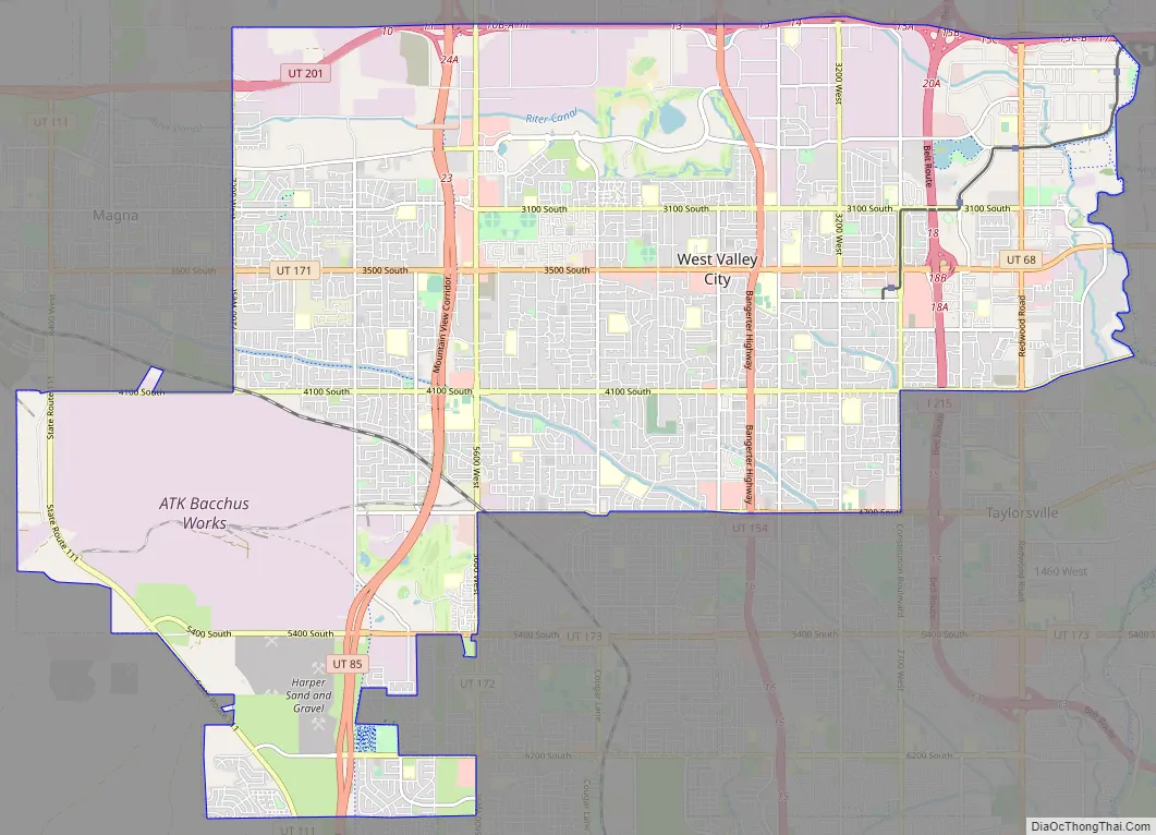
West Valley City Road Map
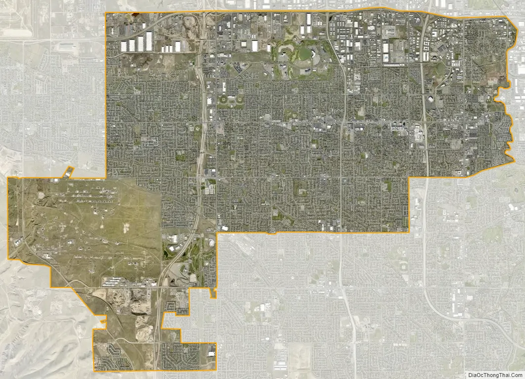
West Valley City city Satellite Map
Geography
According to the United States Census Bureau, the city has a total area of 35.5 square miles (91.8 km), of which 35.4 square miles (91.7 km) is land and 0.1 square miles (0.2 km) (0.17%) is water.
West Valley is located on the northwest side of the Salt Lake Valley between Salt Lake City on the north, South Salt Lake on the east, Magna Township on the west, and Taylorsville and Kearns Township on the south. The Oquirrh Mountains loom over the city to the west, while the Jordan River marks the eastern boundary.
See also
Map of Utah State and its subdivision: Map of other states:- Alabama
- Alaska
- Arizona
- Arkansas
- California
- Colorado
- Connecticut
- Delaware
- District of Columbia
- Florida
- Georgia
- Hawaii
- Idaho
- Illinois
- Indiana
- Iowa
- Kansas
- Kentucky
- Louisiana
- Maine
- Maryland
- Massachusetts
- Michigan
- Minnesota
- Mississippi
- Missouri
- Montana
- Nebraska
- Nevada
- New Hampshire
- New Jersey
- New Mexico
- New York
- North Carolina
- North Dakota
- Ohio
- Oklahoma
- Oregon
- Pennsylvania
- Rhode Island
- South Carolina
- South Dakota
- Tennessee
- Texas
- Utah
- Vermont
- Virginia
- Washington
- West Virginia
- Wisconsin
- Wyoming