Tenino (/təˈnaɪnoʊ/) is a city in Thurston County, Washington, United States. The population was 1,870 at the 2020 census.
Incorporated in 1906, the city sits upon land first established as a food-source prairie for Native Americans living in the area. The town grew around an economy of stone quarrying, with local sandstone being used in several government and university buildings in the Pacific Northwest. With a decrease in demand for stone, the town converted one abandoned quarry into a community pool. Its downtown district is listed on the National Register of Historic Places.
Tenino gained notoriety during the Great Depression for the use of wooden money as public currency for its residents, a practice briefly revived during the COVID-19 Pandemic. Research released in a 2019 book provided an answer regarding myths surrounding the name of Tenino; it was determined the name is borrowed from the moniker of a steamboat used during a railroad committee expedition.
| Name: | Tenino city |
|---|---|
| LSAD Code: | 25 |
| LSAD Description: | city (suffix) |
| State: | Washington |
| County: | Thurston County |
| Elevation: | 289 ft (88 m) |
| Total Area: | 1.46 sq mi (3.77 km²) |
| Land Area: | 1.46 sq mi (3.77 km²) |
| Water Area: | 0.00 sq mi (0.00 km²) |
| Total Population: | 1,870 |
| Population Density: | 1,280.91/sq mi (494.66/km²) |
| ZIP code: | 98589 |
| Area code: | 360 |
| FIPS code: | 5370630 |
| GNISfeature ID: | 1512718 |
| Website: | cityoftenino.us |
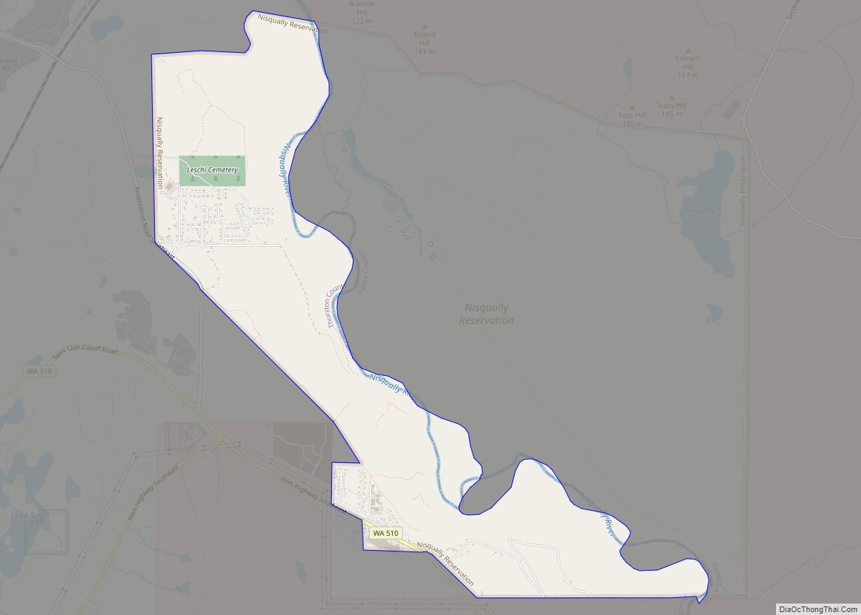
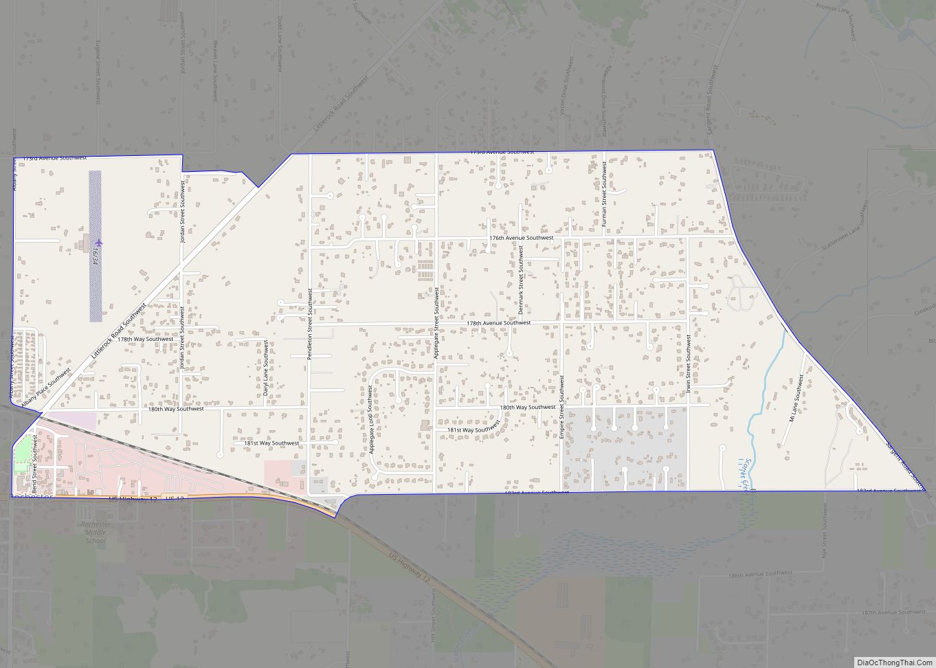
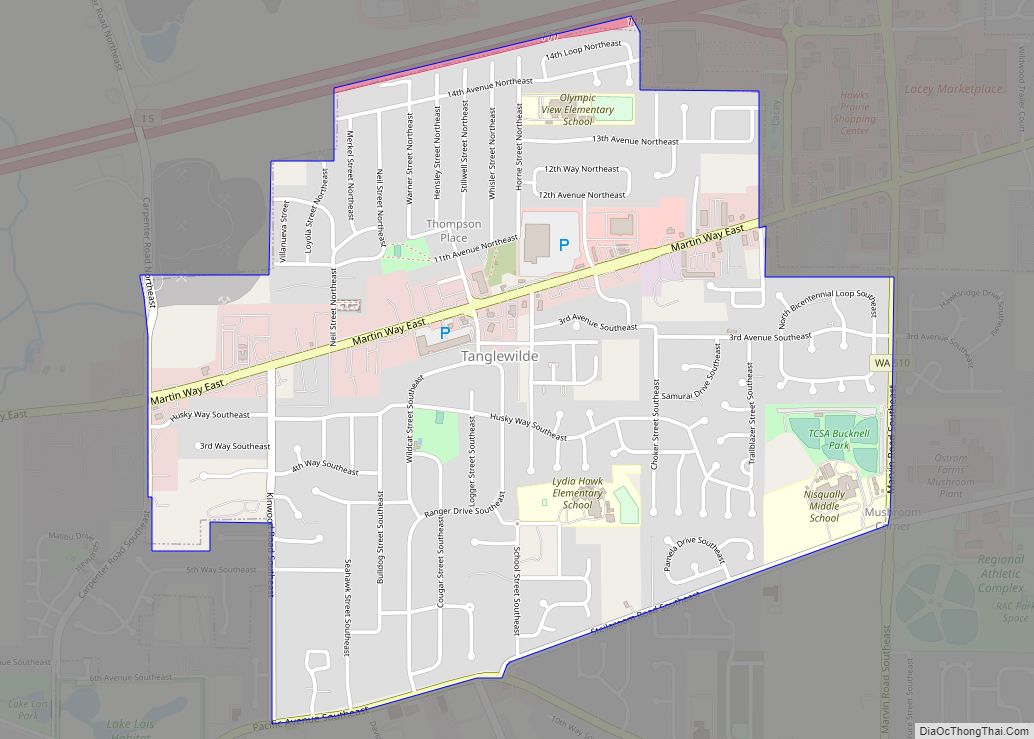
Online Interactive Map
Click on ![]() to view map in "full screen" mode.
to view map in "full screen" mode.
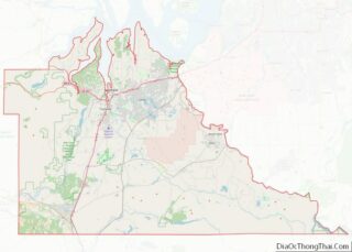
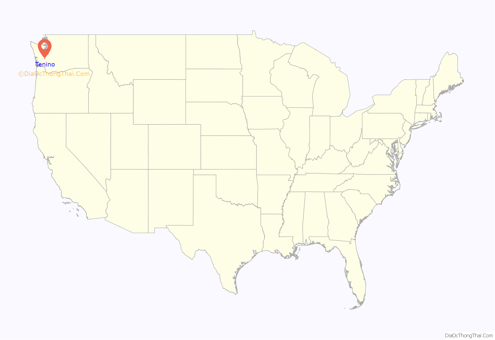
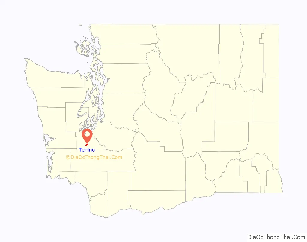
Tenino location map. Where is Tenino city?
History
Tenino was officially incorporated on July 24, 1906, though it existed as a rural community since the mid-19th century. Initially, American settlers were attracted to the open prairies created and maintained by local natives through controlled burns to cultivate camas root, a staple food source. Records indicate the initial settlers’ community centered on the prairie approximately 1⁄2 a mile (0.80 km) south of the present town. Early residents named their first post office and school “Coal Bank”, in the 1860s, a reference to a nearby coal outcropping. It was later renamed Tenino.
In the late 19th century, a number of sandstone quarrying companies began shipping building stone, used in many regional buildings outside of Tenino, including the Old Capitol Building and the old Thurston County Courthouse in Olympia, the Mason County Courthouse in Shelton, Washington, the First Congregational Church, developed by Cameron Stone, in Tacoma, Washington, Denny Hall and the Theodore Jacobson Observatory at the University of Washington, Seattle, the Pittock Mansion and the Pioneer Courthouse in Portland, Oregon, the Calvary Presbyterian Church (San Francisco) and several US post office buildings, including at The Dalles, Oregon. The US Government also used stone from these quarries to construct jetties at Westport, Washington and elsewhere. The quarries declined in the early 20th century when many builders switched to concrete. In addition to quarrying, logging, saw mills, and coal mining were also well established industries in the area. However, as the timber played out and railroads switched to diesel in the mid-20th century, these industries also declined.
In the years before the construction of Interstate 5, Tenino gained a reputation as a notorious stretch along U.S. Route 99. Many motorists considered it a speed trap because of the strict enforcement by police of the abruptly reduced speed limit through town.
While Tenino retains its historic downtown, now a historic district listed on the National Register of Historic Places, the town serves largely as a “bedroom community”, many of its citizens commuting by car to larger cities such as Olympia and Tacoma for work.
Since the mid-1970s, the US Army has used a geographical map of Tenino as a training aid in map reading, because of the variety of symbols represented on the map.
Wooden money
Tenino briefly achieved national notoriety during the Great Depression of the 1930s. After the local bank was closed, the town government temporarily issued wooden money scrip for use by Tenino’s residents when cash was scarce. However, most of this wooden money was never redeemed as it became a valuable collector’s item.
Tenino began printing the wooden currency again during the COVID-19 recession in 2020, to distribute to the local residents. The revival of the program was approved by the Washington State Auditor and began in May 2020.
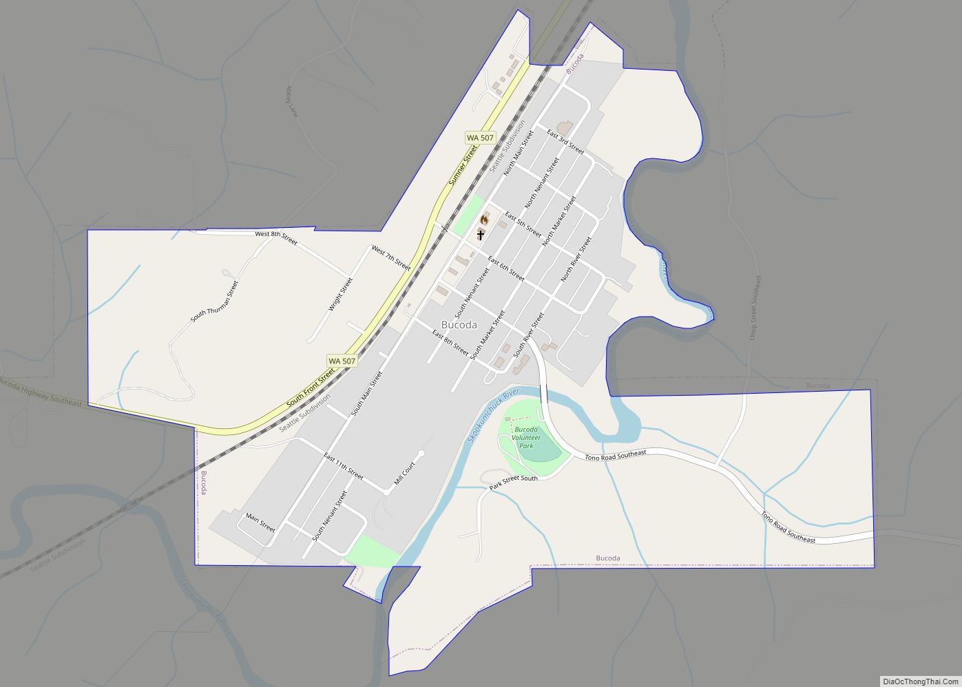
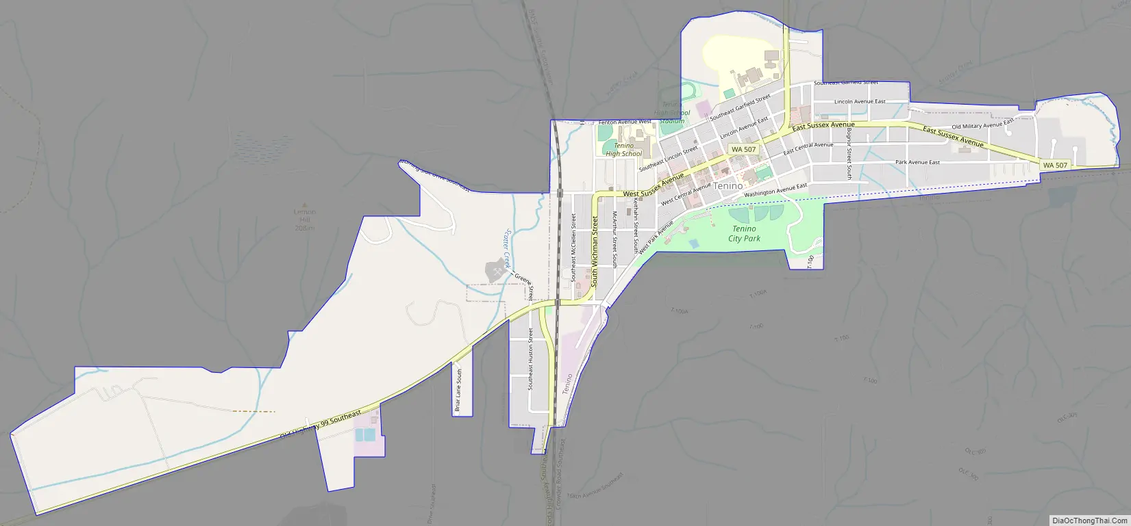
Tenino Road Map
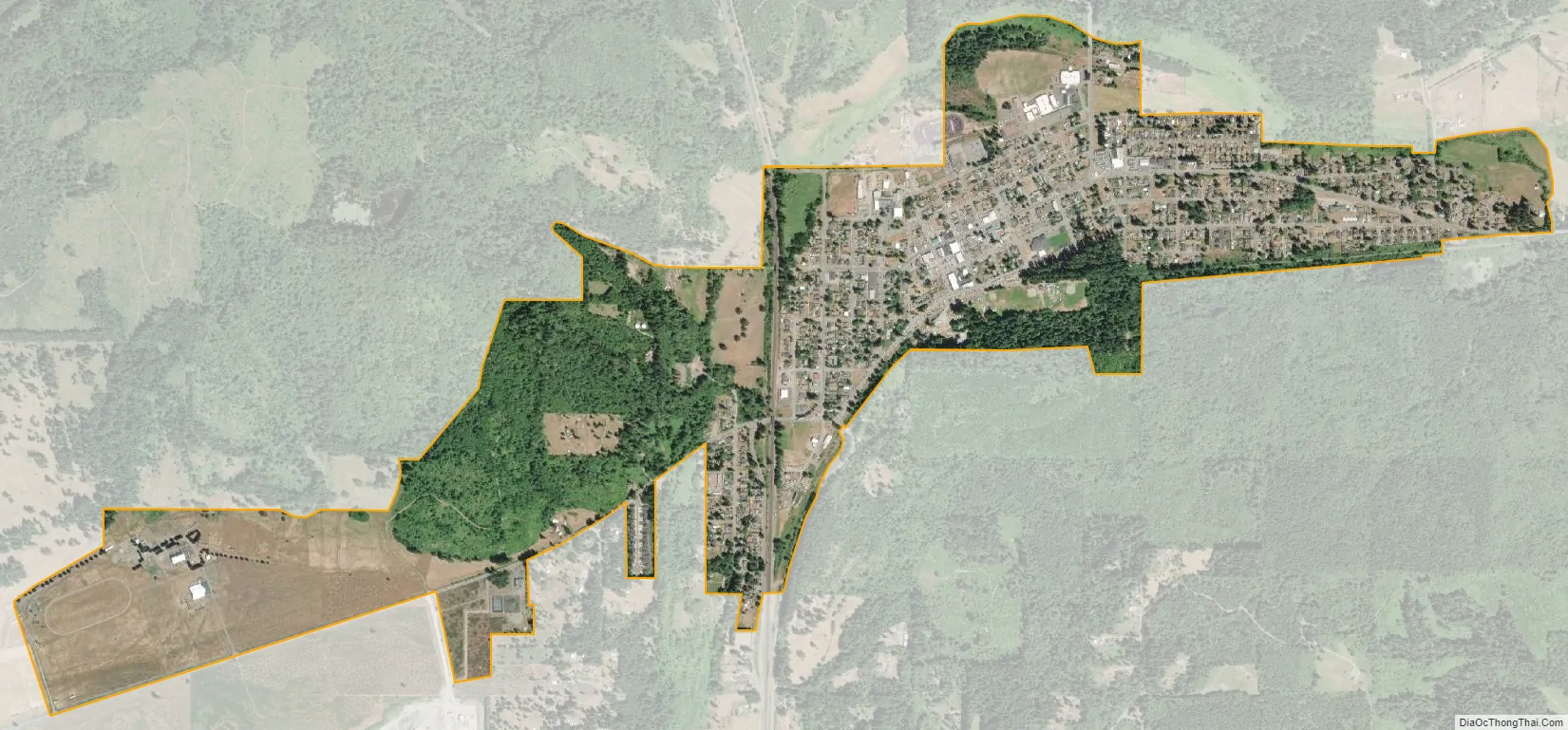
Tenino city Satellite Map
Geography
Tenino is located at 46°51′24″N 122°51′01″W / 46.856745°N 122.850290°W / 46.856745; -122.850290 (46.856745, -122.850290).
According to the United States Census Bureau, the city has a total area of 1.44 square miles (3.73 km), all of it land.
See also
Map of Washington State and its subdivision:- Adams
- Asotin
- Benton
- Chelan
- Clallam
- Clark
- Columbia
- Cowlitz
- Douglas
- Ferry
- Franklin
- Garfield
- Grant
- Grays Harbor
- Island
- Jefferson
- King
- Kitsap
- Kittitas
- Klickitat
- Lewis
- Lincoln
- Mason
- Okanogan
- Pacific
- Pend Oreille
- Pierce
- San Juan
- Skagit
- Skamania
- Snohomish
- Spokane
- Stevens
- Thurston
- Wahkiakum
- Walla Walla
- Whatcom
- Whitman
- Yakima
- Alabama
- Alaska
- Arizona
- Arkansas
- California
- Colorado
- Connecticut
- Delaware
- District of Columbia
- Florida
- Georgia
- Hawaii
- Idaho
- Illinois
- Indiana
- Iowa
- Kansas
- Kentucky
- Louisiana
- Maine
- Maryland
- Massachusetts
- Michigan
- Minnesota
- Mississippi
- Missouri
- Montana
- Nebraska
- Nevada
- New Hampshire
- New Jersey
- New Mexico
- New York
- North Carolina
- North Dakota
- Ohio
- Oklahoma
- Oregon
- Pennsylvania
- Rhode Island
- South Carolina
- South Dakota
- Tennessee
- Texas
- Utah
- Vermont
- Virginia
- Washington
- West Virginia
- Wisconsin
- Wyoming