Wishram is an unincorporated community and census-designated place (CDP) in Klickitat County, Washington, United States. The population was 342 at the 2010 census, up from 213 at the 2000 census. The site of the historic Celilo Falls is nearby.
The community was originally named “Fallbridge”; it was changed to “Wishram” to honor the Wishram tribe of Native Americans. The Dalles Dam, 9 miles (14 km) downstream on the Columbia River, was completed in 1957, and began filling Lake Celilo. The original fishing village near this location was inundated.
| Name: | Wishram CDP |
|---|---|
| LSAD Code: | 57 |
| LSAD Description: | CDP (suffix) |
| State: | Washington |
| County: | Klickitat County |
| Elevation: | 177 ft (54 m) |
| Total Area: | 1.3 sq mi (3.3 km²) |
| Land Area: | 1.3 sq mi (3.3 km²) |
| Water Area: | 0.0 sq mi (0.0 km²) |
| Total Population: | 342 |
| Population Density: | 267/sq mi (103.0/km²) |
| ZIP code: | 98673 |
| Area code: | 509 |
| FIPS code: | 5379485 |
| GNISfeature ID: | 1528268 |
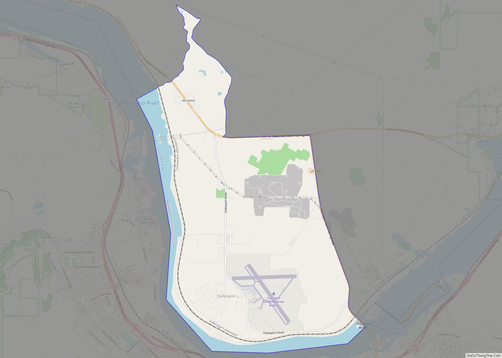
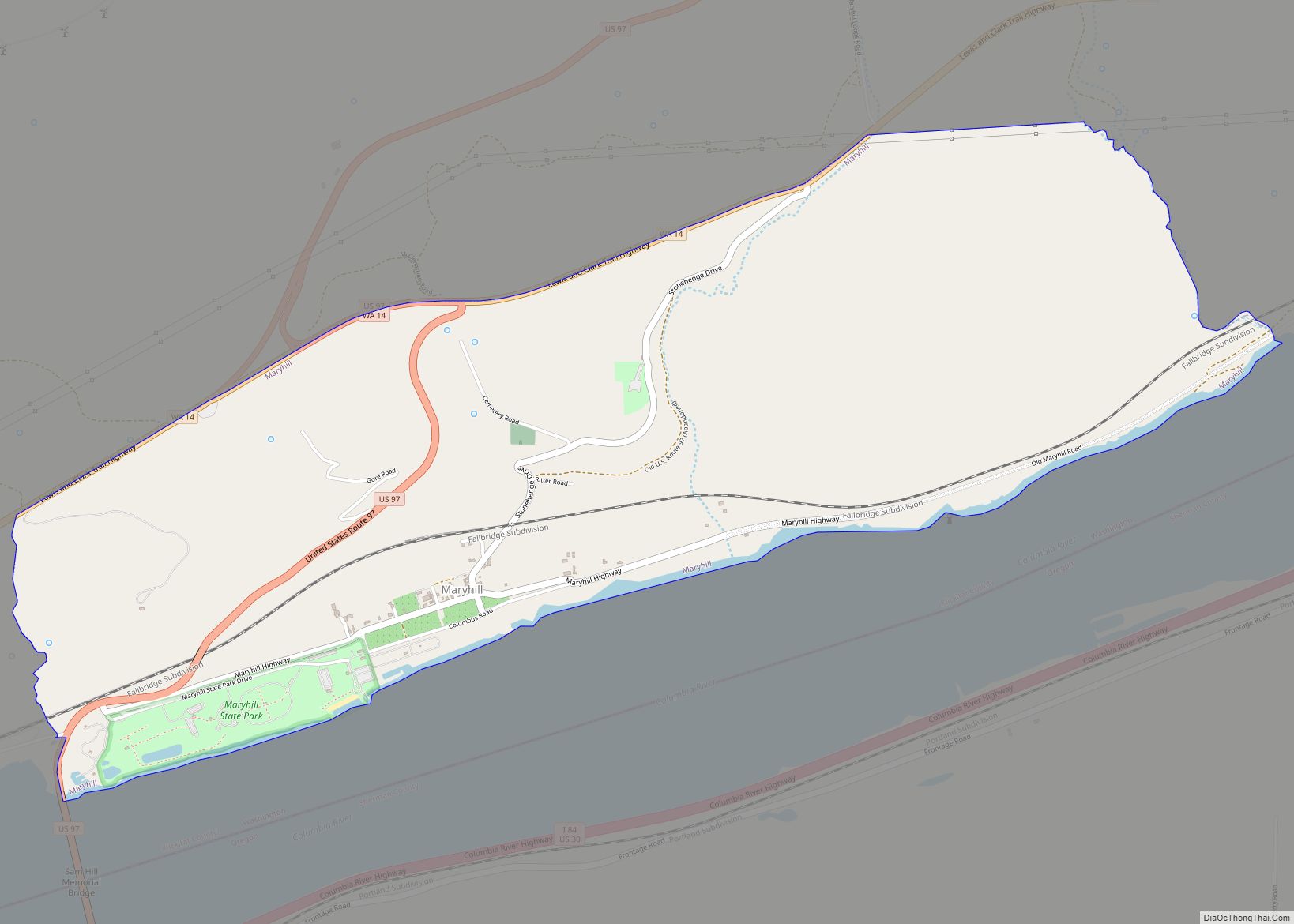
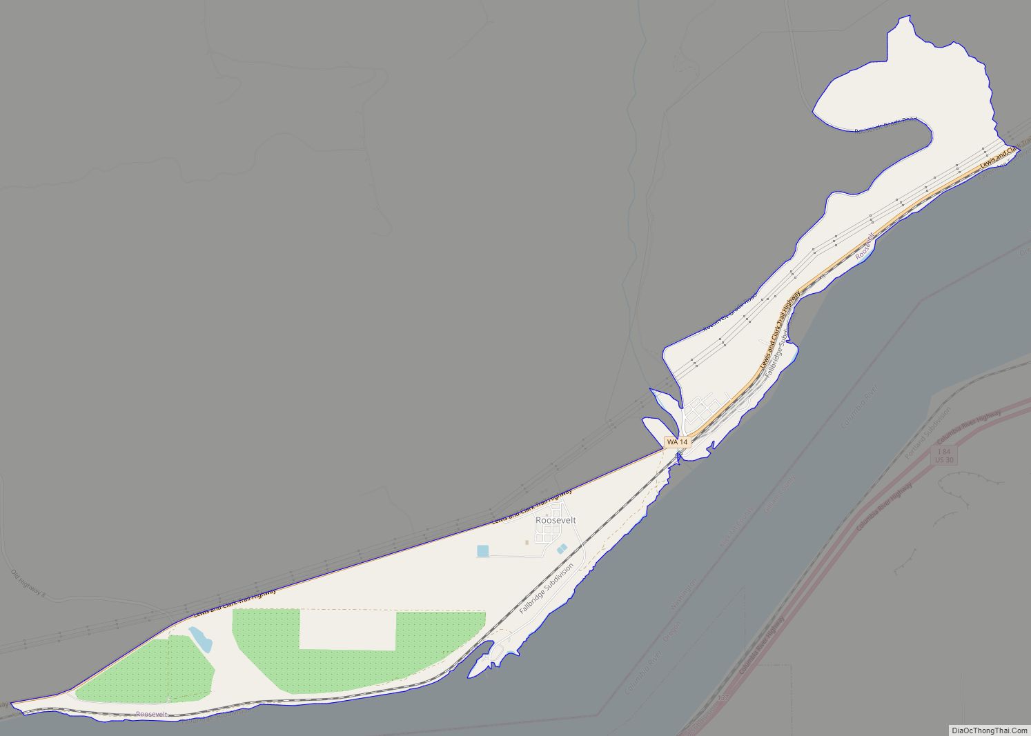
Online Interactive Map
Click on ![]() to view map in "full screen" mode.
to view map in "full screen" mode.
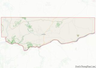
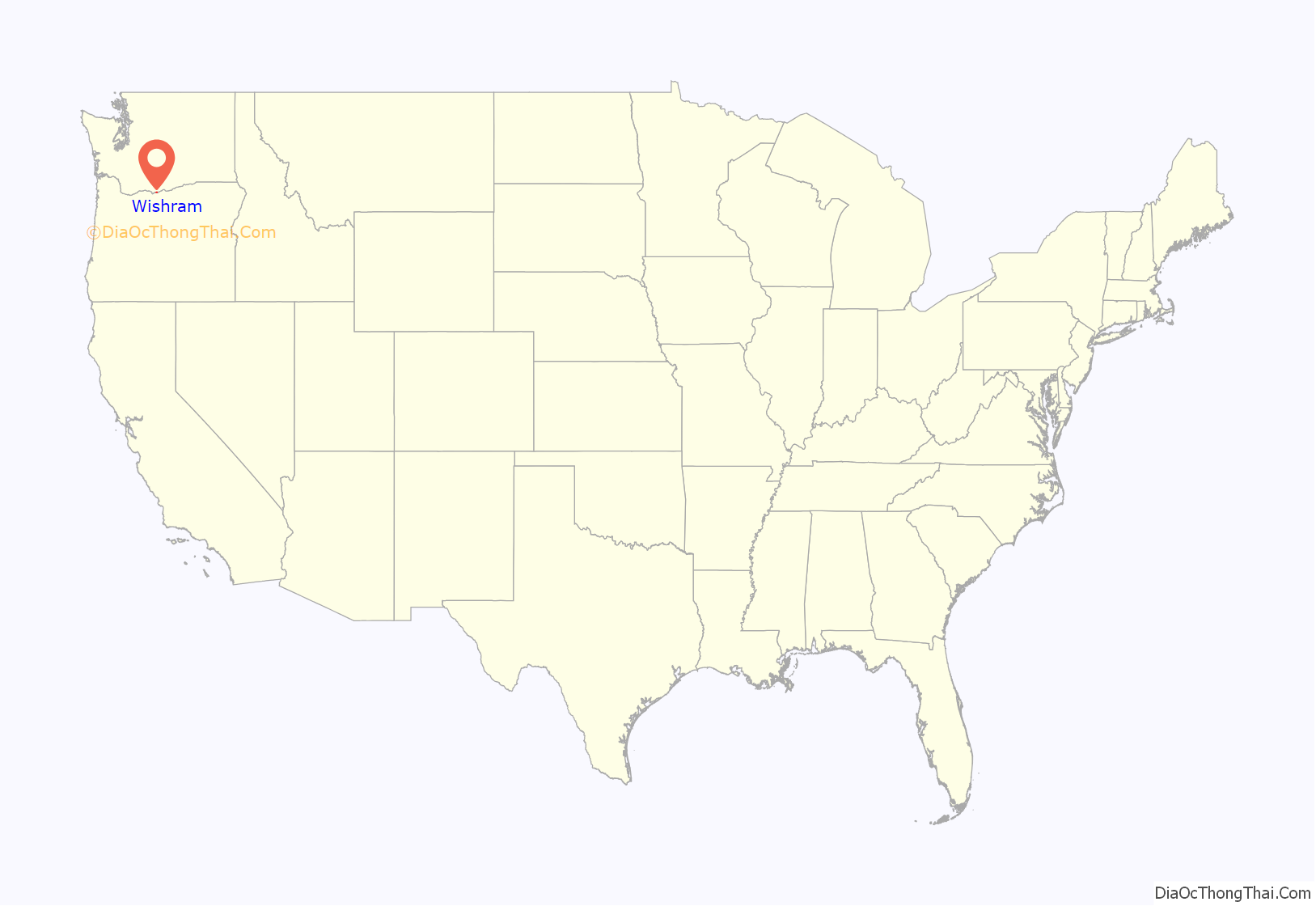
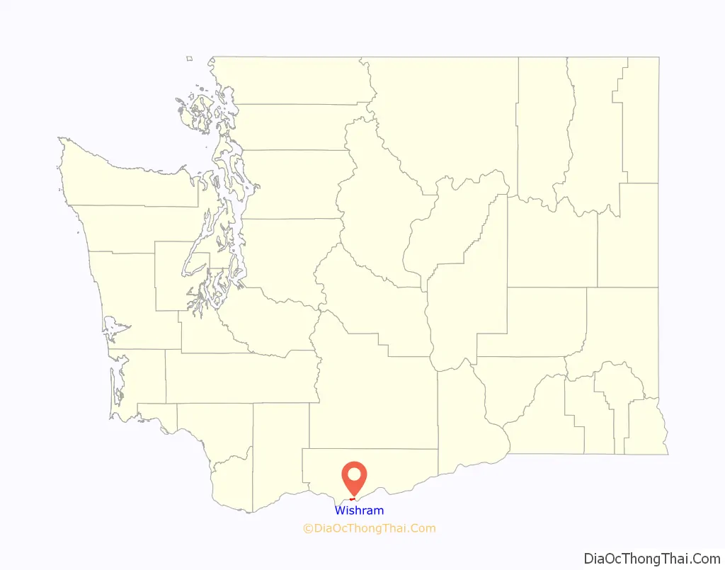
Wishram location map. Where is Wishram CDP?
History
The area of Wishram was located 1⁄2 mile (0.8 km) above the head of the great Celilo Falls on the Columbia, and as a result has been populated for an extended period. For around 15,000 years, native peoples gathered to fish and exchange goods. They built wooden platforms out over the water and caught salmon with dipnets and long spears on poles as the fish swam up through the rapids and jumped over the falls. Celilo Falls and The Dalles were strategically located at the border between Chinookan and Sahaptian-speaking peoples and served as the center of an extensive trading network across the Pacific Plateau. It was noted by early explorers and historians of the area.
In 1892 the U.S. government completed a set of locks to bypass Celilo Falls on the southern shore, across from Wishram. Built at a cost of $5,000,000, these locks saw limited service as much of the freight in and out of the Pacific Northwest began to travel by rail.
In 1912 the unincorporated town was known as “Fallbridge”, named in recognition of the southern extension of the Spokane, Portland and Seattle Railway, which crossed the Columbia on the Oregon Trunk Rail Bridge constructed on the basalt rock of Celilo Falls.
Lewis and Clark
Lewis and Clark mentioned the site of Wishram in their journal. In his journal for October 22, 1805, Clark recorded:
By the time they returned on April 16, 1806, they reported the village had moved about 300 yards below the spot where it had been located the previous fall, and tended to move with the favored fishing locations.
Early history
The American author Washington Irving also mentioned the Native Americans resident at Wishram in his history of the Northwest titled Astoria or, Anecdotes of an Enterprise Beyond the Rocky Mountains and published in 1836. He stated:
Wishram is extensively mentioned in regional histories and travelogues of the early 19th century. Visitors included Thomas Farnham, Hudson’s Bay Company Governor Sir George Simpson, Alexander Ross, Father Pierre De Smet and Joseph Drayton’s party of the Wilkes Expedition, among others. Ross reported that at Wishram the summer encampments when the salmon were running could swell to 3,000 natives. Father De Smet described it as a glorious time of rejoicing, gambling and feasting.
There have been village sites at the Wishram location for millennia. Archeologists in the 1950s identified a multilevel site with centuries of waste accumulated in middens as well as petroglyphs and other indications of dense population. Most of the densely populated areas were close to the river and convenient to fishing. This lower area was flooded in 1957 by water backed up behind The Dalles Dam.
In 1926 a pioneer memorial was raised at Wishram/Fallbridge. Still located in its original position 100 feet (30 m) east of the passenger train station today, it consists of two columns of basalt bound together with iron straps and mounted on a pedestal. A bronze plaque recognizing various pioneers who have been to Wishram begins with Meriwether Lewis and ends with John C. Fremont. It originally marked the beginning of a 1⁄2-mile (0.8 km) path from that monument to Celilo Falls; that path is now covered by the backwaters from The Dalles Dam.
Wishram/Fallbridge as a rail center
The Spokane, Portland and Seattle Railway was chartered in 1905 by James J. Hill for the purposes of connecting the two transcontinental railroads owned by him, the Northern Pacific and Great Northern, to Portland, Oregon from Spokane, Washington, in order to gain a portion of the lumber trade in Oregon, a business that at the time was dominated by E. H. Harriman’s Union Pacific and Southern Pacific railroads. Construction began in 1906 under the name Portland & Seattle Railway, proceeding eastward from Vancouver, Washington. 1906 also saw the start of construction of the line between Vancouver and Portland. This railroad included the first bridge of any kind to be built across the lower Columbia River: the bridge now known as the BNSF Railway Bridge 9.6, in Vancouver.
Within a year, and despite legal challenges from Harriman, who wished to block its construction, the line had been built as far as Pasco, Washington, along the Columbia River, where there was a connection with Northern Pacific lines. The first section to open was from Pasco west through Wishram to cliffs (near Maryhill), a length of 112 miles (180 km), on December 15, 1907. Operation was extended west to Lyle, for a total of 145 miles (233 km), on January 15, 1908, as construction continued on the 56-mile (90 km) section from there to Vancouver.
The town of Wishram (then known as Fallbridge) was fortuitously situated at a location which made bridging the Columbia River relatively easy. It was possible to construct a bridge that had piers resting on normally exposed basalt rock above the waterfall during low water periods such that during periods of high water, when this stretch of the Columbia River became raging rapids, the piers supported a bridge spanning the entire flood. This bridge over Celilo Falls became known as the Oregon Trunk Rail Bridge or the fallbridge. The location of this bridge also allowed construction of rail through the Deschutes River canyon, allowing access to eastern Oregon’s high desert plateau and the eastern side of the Cascade Range.
As a result, the SP&S was extended southward from Wishram toward Bend, Oregon. Hill and Harriman engaged in a head-to-head battle up the Deschutes grade, with intense competition for any advantageous routing. After the competition reached what has been described as ridiculous levels, Hariman died in 1909 and an agreement was reached that the extension was to be jointly operated with a Union Pacific subsidiary, the Oregon-Washington Railway & Navigation. This southern extension relied upon the Oregon Trunk Rail Bridge – the “fall bridge” – constructed just downstream of Wishram at the waterfall on the Columbia. James J. Hill inaugurated this route, driving a golden spike in Bend in 1912. Fallbridge served as a passenger terminal, roundhouse and freight switch yard for traffic into Bend. Recognizing its central location, a 300-ton automatic coaling station was erected for the Spokane, Portland & Seattle Railroad at Fallbridge in 1920.
The name was officially changed to “Wishram” in 1926. However, the name of Fallbridge continues to appear in various documents. In 1931 the official schedules for the railway used “Wishram (Fallbridge)” as the designation for the stop at Wishram. The town still appears as “Fallbridge” in 1940 U.S. Army Corps of Engineers port directories, and in 1941 in standard textbooks.
In 1931 the SP&S line to Bend was connected via Klamath Falls, Oregon, to Bieber, California, providing a shortcut to connect with the Western Pacific Railroad in northern California.
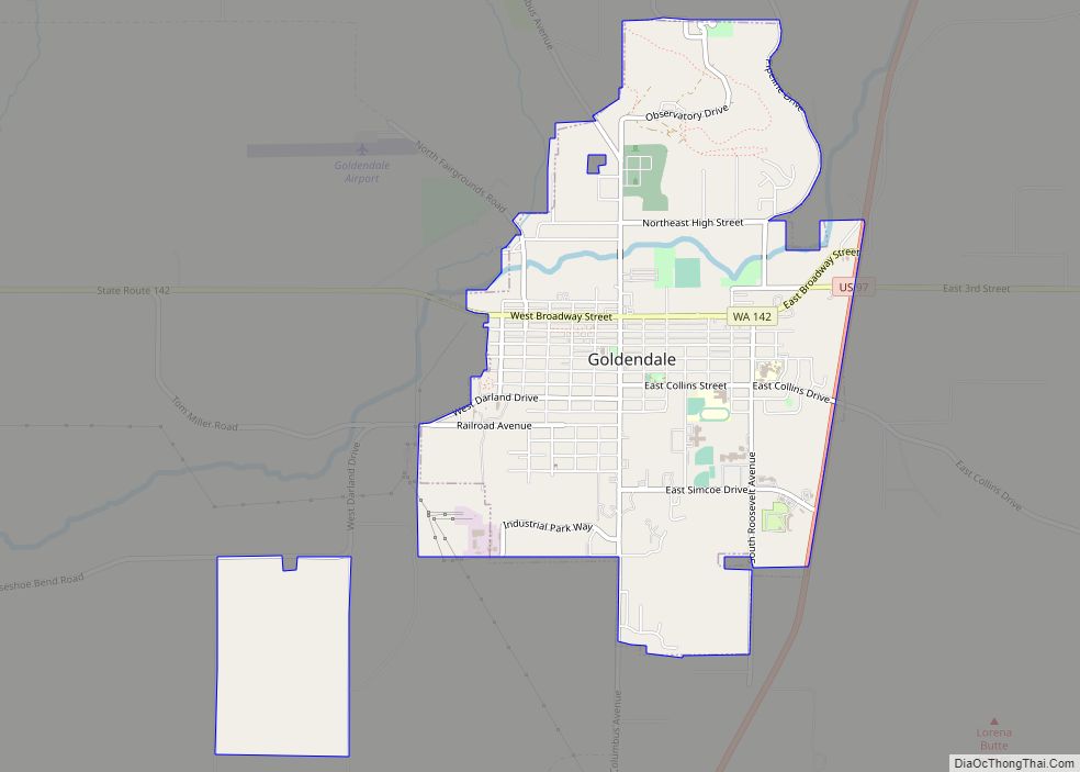
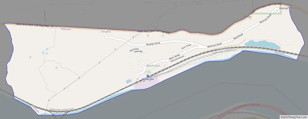
Wishram Road Map
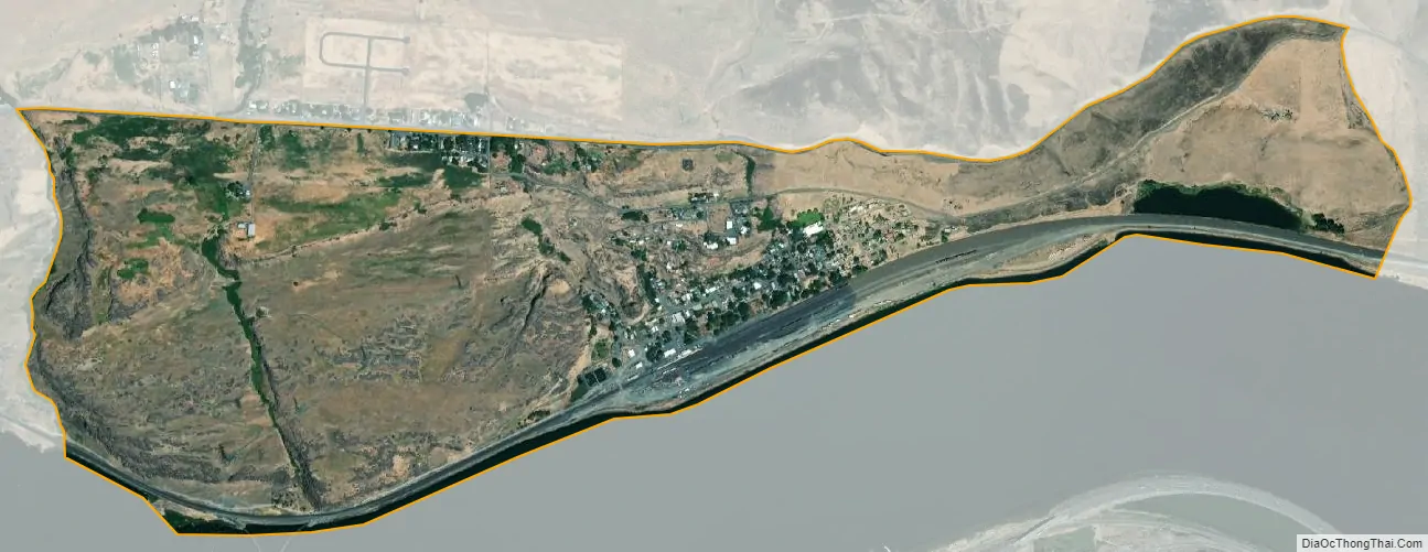
Wishram city Satellite Map
Geography
Wishram is located in southern Klickitat County, sitting on the north bank of the Columbia River at 45°39′40″N 120°57′32″W / 45.66111°N 120.95889°W / 45.66111; -120.95889 (45.661198, -120.958788). State Route 14 runs east–west through the community, traveling west towards Vancouver and Dallesport and east towards Maryhill; it intersects with two U.S. highways that provide access to Oregon via bridges over the Columbia River.
According to the United States Census Bureau, the Wishram CDP has a total area of 1.3 square miles (3.3 km), all of it land.
See also
Map of Washington State and its subdivision:- Adams
- Asotin
- Benton
- Chelan
- Clallam
- Clark
- Columbia
- Cowlitz
- Douglas
- Ferry
- Franklin
- Garfield
- Grant
- Grays Harbor
- Island
- Jefferson
- King
- Kitsap
- Kittitas
- Klickitat
- Lewis
- Lincoln
- Mason
- Okanogan
- Pacific
- Pend Oreille
- Pierce
- San Juan
- Skagit
- Skamania
- Snohomish
- Spokane
- Stevens
- Thurston
- Wahkiakum
- Walla Walla
- Whatcom
- Whitman
- Yakima
- Alabama
- Alaska
- Arizona
- Arkansas
- California
- Colorado
- Connecticut
- Delaware
- District of Columbia
- Florida
- Georgia
- Hawaii
- Idaho
- Illinois
- Indiana
- Iowa
- Kansas
- Kentucky
- Louisiana
- Maine
- Maryland
- Massachusetts
- Michigan
- Minnesota
- Mississippi
- Missouri
- Montana
- Nebraska
- Nevada
- New Hampshire
- New Jersey
- New Mexico
- New York
- North Carolina
- North Dakota
- Ohio
- Oklahoma
- Oregon
- Pennsylvania
- Rhode Island
- South Carolina
- South Dakota
- Tennessee
- Texas
- Utah
- Vermont
- Virginia
- Washington
- West Virginia
- Wisconsin
- Wyoming