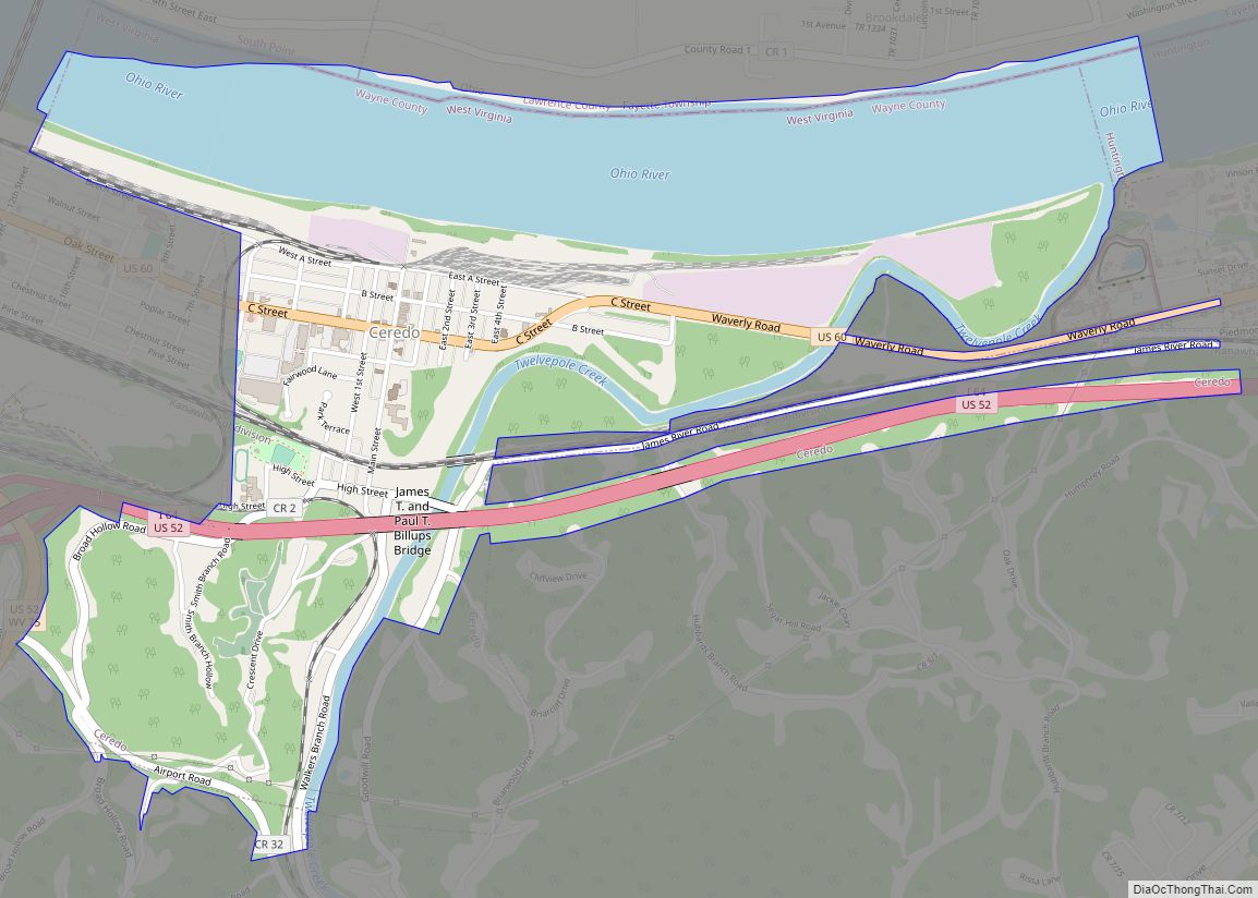
Ceredo is a town in Wayne County, West Virginia, United States, situated along the Ohio River. The population was 1,450 at the 2010 census. Ceredo is a part of the Huntington-Ashland, WV-KY-OH Metropolitan Statistical Area (MSA). As of the 2000 census, the MSA had a population of 288,649.
The city is also near the location of the Southern Airways Flight 932 aviation disaster. On November 14, 1970, a McDonnell Douglas DC-9 airplane carrying the Marshall University football team crashed on a hillside on approach to the Tri-State Airport, killing all 75 on board. A movie about the tragedy, We Are Marshall, was released in 2006.
| Name: | Ceredo city |
|---|---|
| LSAD Code: | 25 |
| LSAD Description: | city (suffix) |
| State: | West Virginia |
| County: | Wayne County |
| Elevation: | 551 ft (168 m) |
| Total Area: | 2.04 sq mi (5.29 km²) |
| Land Area: | 1.31 sq mi (3.40 km²) |
| Water Area: | 0.73 sq mi (1.89 km²) |
| Total Population: | 1,450 |
| Population Density: | 968.80/sq mi (374.01/km²) |
| ZIP code: | 25507 |
| Area code: | 304, 681 |
| FIPS code: | 5414308 |
| GNISfeature ID: | 1537176 |
| Website: | www.ceredowv.gov |
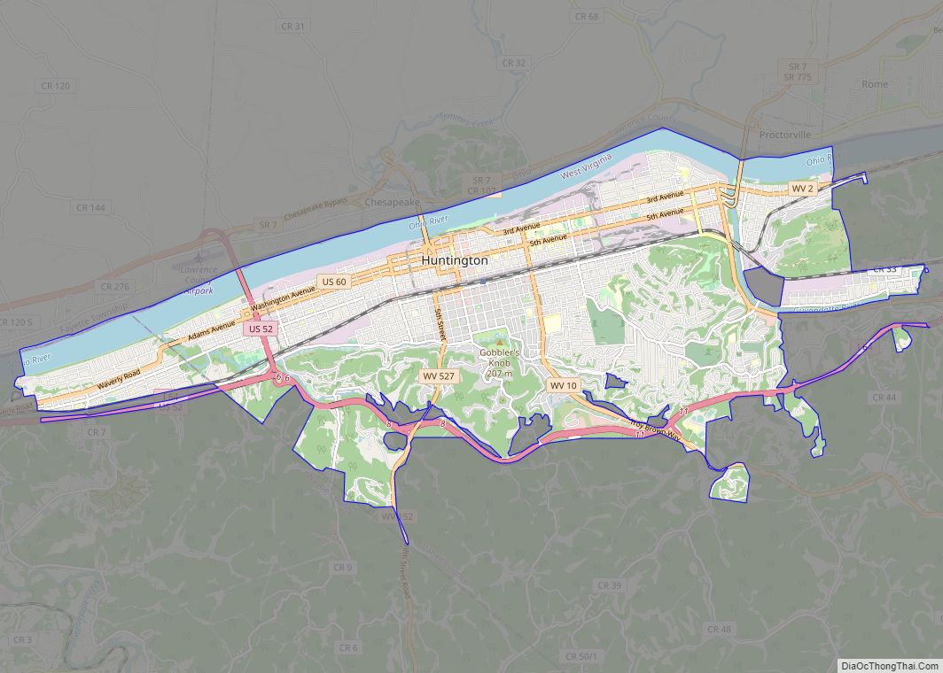
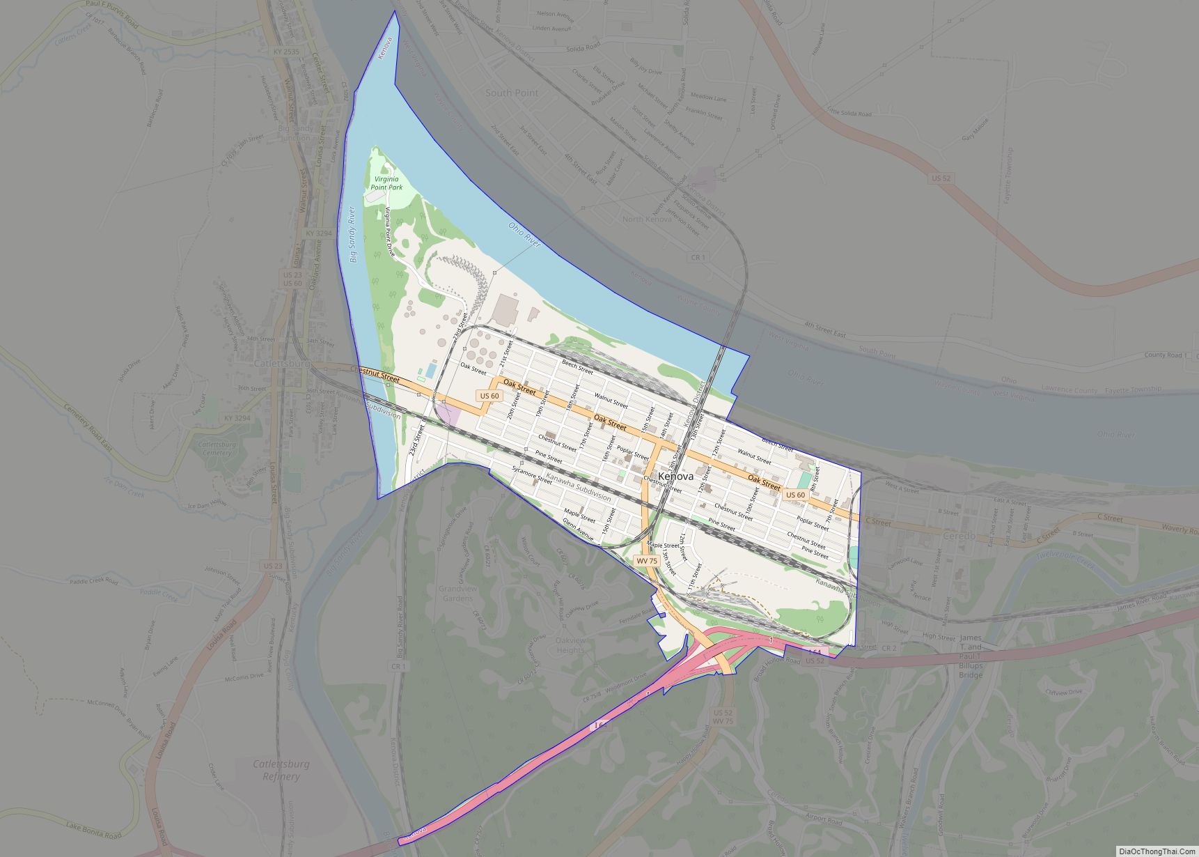
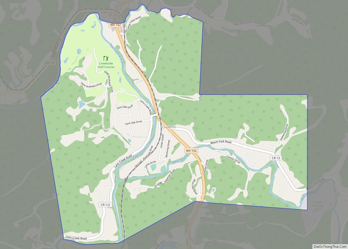
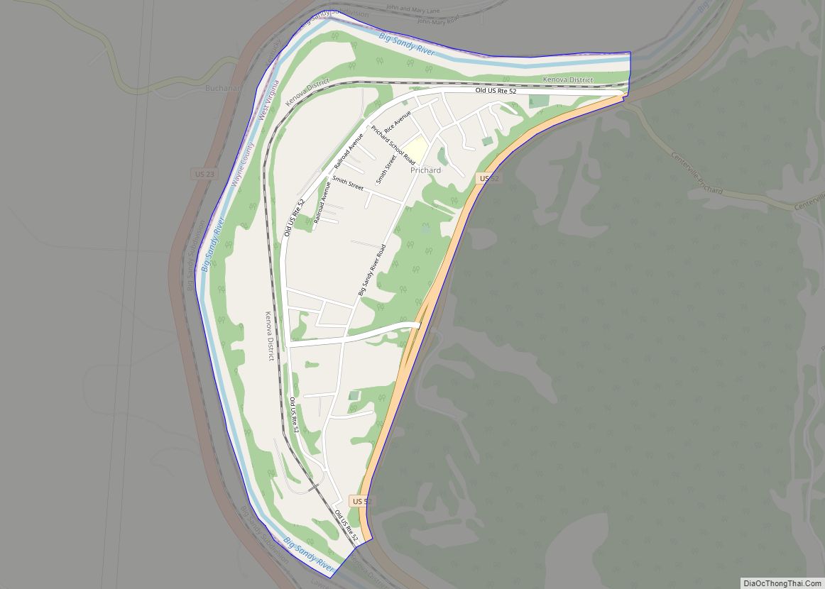
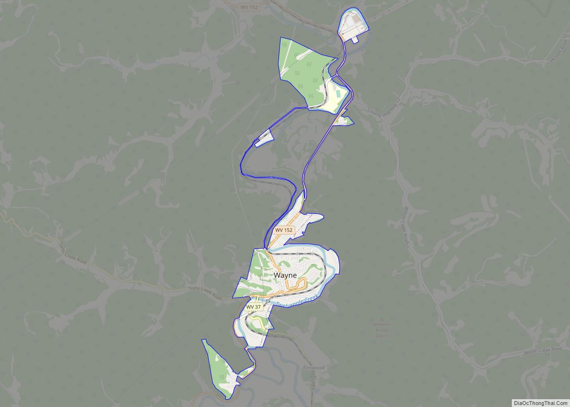
Online Interactive Map
Click on ![]() to view map in "full screen" mode.
to view map in "full screen" mode.
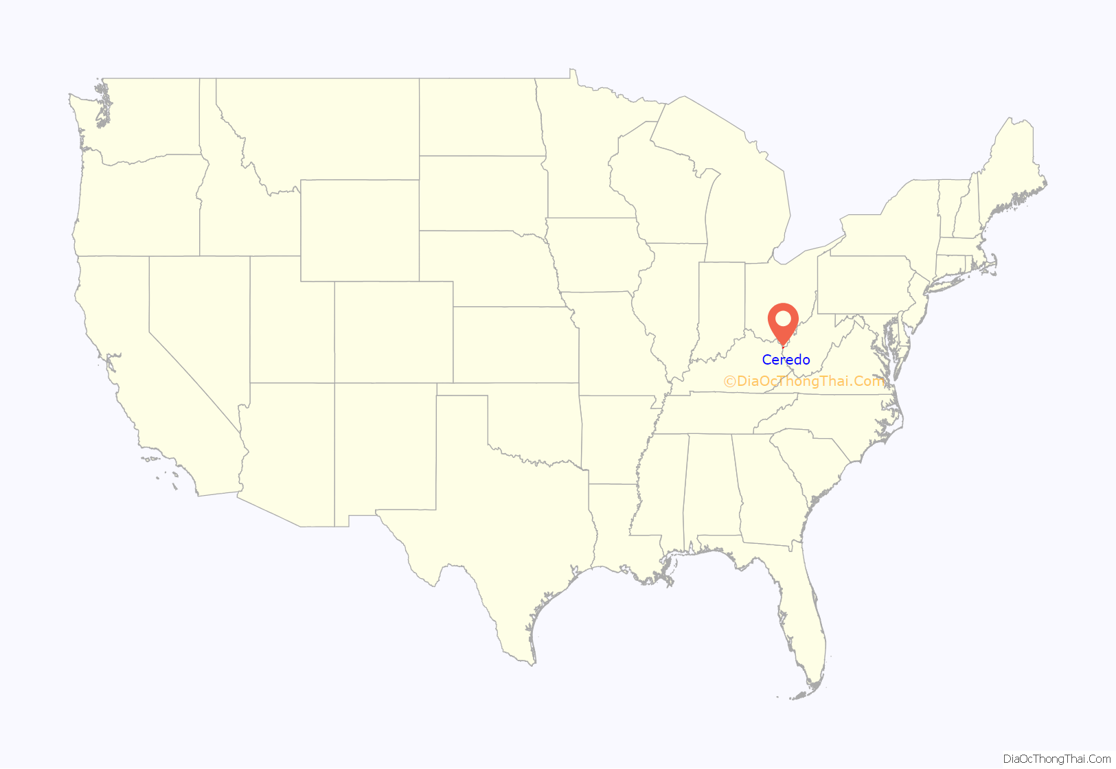
Ceredo location map. Where is Ceredo city?

History
Ceredo was named by its founder for the bountiful harvest of corn upon the site. The name derives from Ceres, the goddess of corn and harvest.
New England Congregationalists founded Ceredo to demonstrate the superiority of an economic system not based on slave labor. Eli Thayer, an abolitionist congressman from Massachusetts, believed that bringing abolitionists like himself into southern states could ultimately bring about the end of slavery. While some welcomed the newcomers, several area newspapers published opinions against this “invasion.” The newspaper of nearby Ashland, Kentucky, however, supported this move. By 1857, the city was fully established with a newspaper and several industries.
With John Brown’s raid at Harpers Ferry in 1859 and the outbreak of the Civil War in 1861, the situation for this abolitionist colony appeared bleak. Its purpose to bring about the peaceful end of slavery over, several residents volunteered for pro-Union regiments.
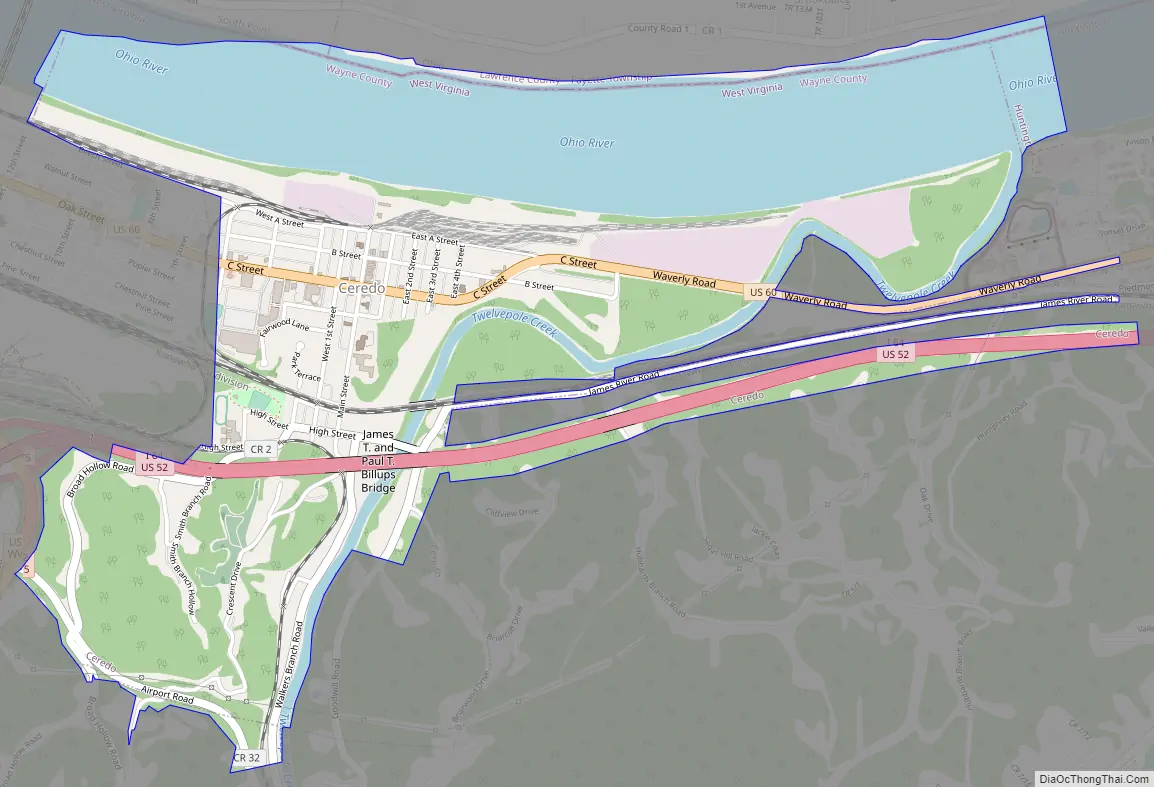
Ceredo Road Map
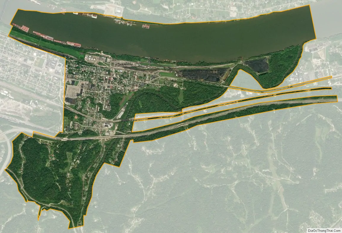
Ceredo city Satellite Map
Geography
Ceredo is located at 38°23′36″N 82°33′37″W / 38.39333°N 82.56028°W / 38.39333; -82.56028 (38.393406, -82.560246).
According to the United States Census Bureau, the city has a total area of 2.26 square miles (5.85 km), of which 1.53 square miles (3.96 km) is land and 0.73 square miles (1.89 km) is water.
See also
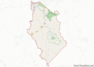
Map of West Virginia State and its subdivision:- Barbour
- Berkeley
- Boone
- Braxton
- Brooke
- Cabell
- Calhoun
- Clay
- Doddridge
- Fayette
- Gilmer
- Grant
- Greenbrier
- Hampshire
- Hancock
- Hardy
- Harrison
- Jackson
- Jefferson
- Kanawha
- Lewis
- Lincoln
- Logan
- Marion
- Marshall
- Mason
- McDowell
- Mercer
- Mineral
- Mingo
- Monongalia
- Monroe
- Morgan
- Nicholas
- Ohio
- Pendleton
- Pleasants
- Pocahontas
- Preston
- Putnam
- Raleigh
- Randolph
- Ritchie
- Roane
- Summers
- Taylor
- Tucker
- Tyler
- Upshur
- Wayne
- Webster
- Wetzel
- Wirt
- Wood
- Wyoming
- Alabama
- Alaska
- Arizona
- Arkansas
- California
- Colorado
- Connecticut
- Delaware
- District of Columbia
- Florida
- Georgia
- Hawaii
- Idaho
- Illinois
- Indiana
- Iowa
- Kansas
- Kentucky
- Louisiana
- Maine
- Maryland
- Massachusetts
- Michigan
- Minnesota
- Mississippi
- Missouri
- Montana
- Nebraska
- Nevada
- New Hampshire
- New Jersey
- New Mexico
- New York
- North Carolina
- North Dakota
- Ohio
- Oklahoma
- Oregon
- Pennsylvania
- Rhode Island
- South Carolina
- South Dakota
- Tennessee
- Texas
- Utah
- Vermont
- Virginia
- Washington
- West Virginia
- Wisconsin
- Wyoming