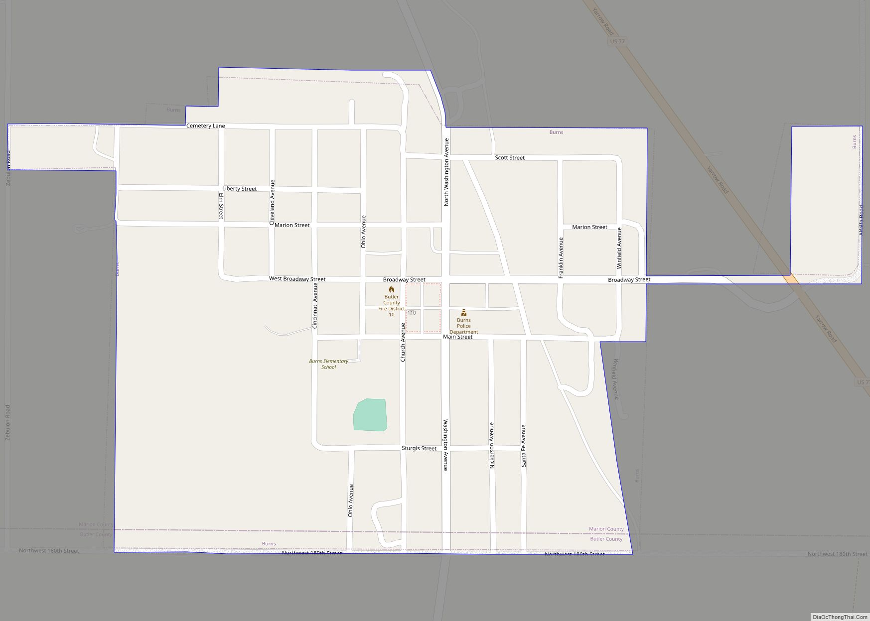
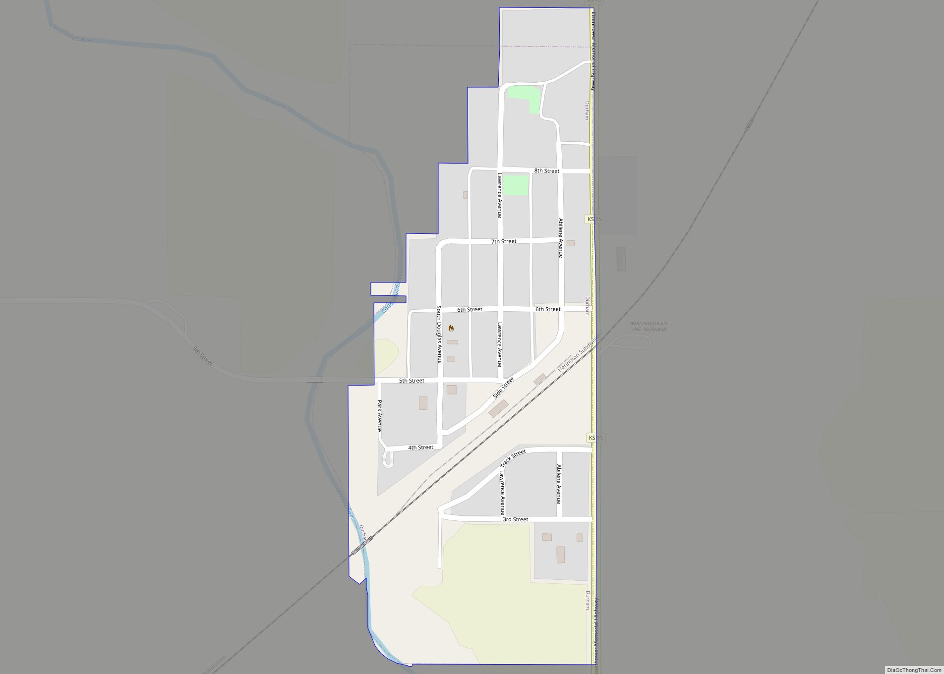
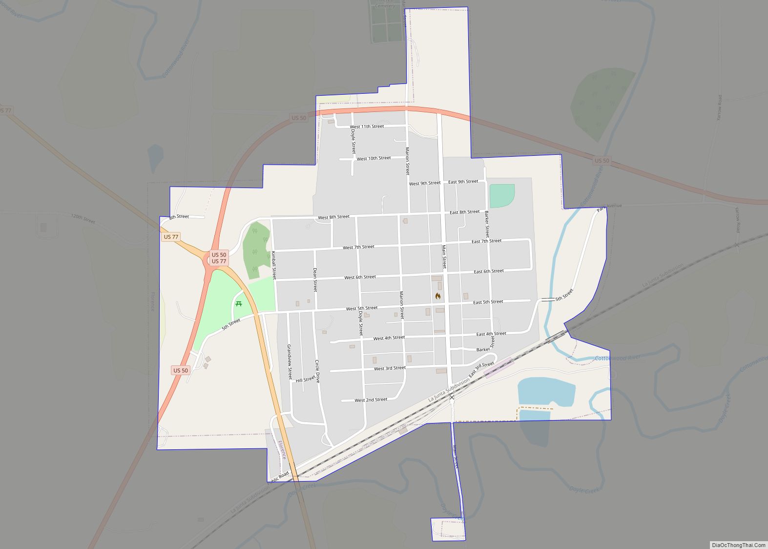
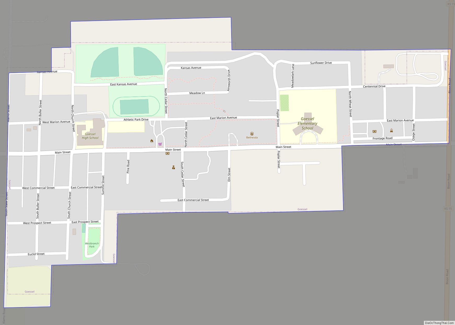
Marion County (standard abbreviation: MN) is a county located in the U.S. state of Kansas. Its county seat is Marion and its most populous city is Hillsboro. As of the 2020 census, the county population was 12,660. The county was named in honor of Francis Marion, a brigadier general of the American Revolutionary War, known as the “Swamp Fox”.
| Name: | Marion County |
|---|---|
| FIPS code: | 20-115 |
| State: | Kansas |
| Founded: | August 30, 1855 |
| Named for: | Francis Marion |
| Seat: | Marion |
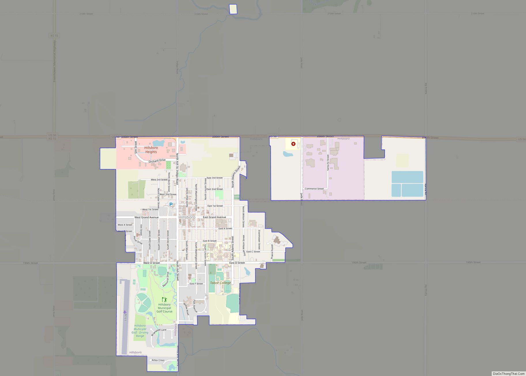
| Largest city: | Hillsboro |
| Total Area: | 954 sq mi (2,470 km²) |
| Land Area: | 944 sq mi (2,440 km²) |
| Total Population: | 11,823 |
| Population Density: | 12.5/sq mi (4.8/km²) |
| Time zone: | UTC−6 (Central) |
| Summer Time Zone (DST): | UTC−5 (CDT) |
| Website: | marioncoks.net |
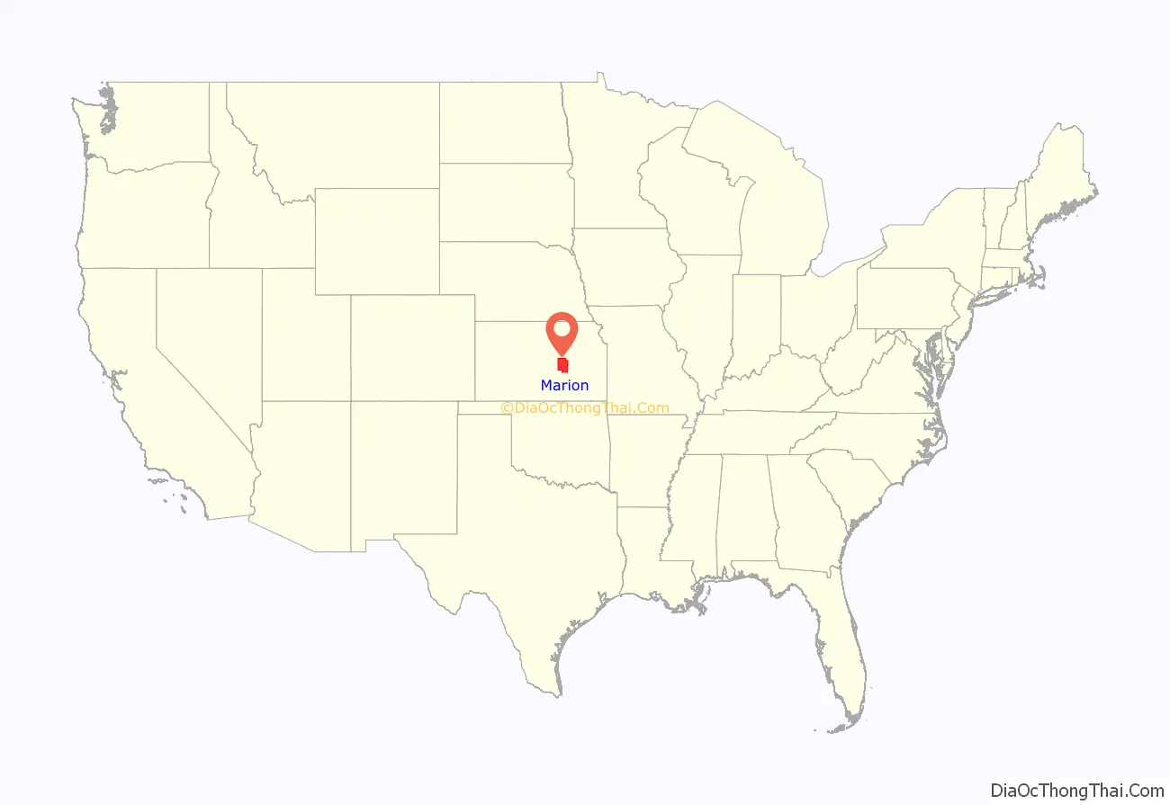
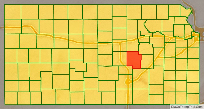
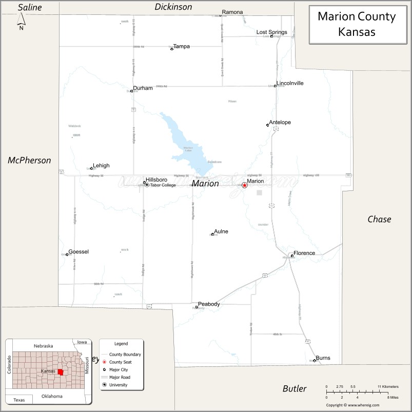
Marion County location map. Where is Marion County?
History
Early history
For millennia, the Great Plains of North America were inhabited by nomadic Native Americans. From the 16th to 18th centuries, the Kingdom of France claimed ownership of large parts of North America. In 1762, after the French and Indian War, France secretly ceded New France to Spain, by the Treaty of Fontainebleau.
19th century
In 1802, Spain returned most of the land to France, but keeping title to about 7,500 square miles. In 1803, most of the land for modern day Kansas was acquired by the United States from France as part of the 828,000 square mile Louisiana Purchase for 2.83 cents per acre. In 1848, after the Mexican–American War, the Treaty of Guadalupe Hidalgo with Spain brought into the United States all or part of land for ten future states, including southwest Kansas.
In 1806, Zebulon Pike led the Pike Expedition westward from St Louis, Missouri, of which part of their journey followed the Cottonwood River through modern Marion County near the current cities of Florence, Marion, Durham.
In 1854, the Kansas Territory was organized, then in 1861 Kansas became the 34th U.S. state. In 1855, Marion County was established. The first settlers in Marion County located on Doyle Creek, near the present site of Florence. They were Moses Shane, who came in 1858, and whose death the next year was the first in the county; Patrick Doyle, in 1859, for whom Doyle Creek and Township were named, and a family by the name of Welsh, in which occurred the first birth in the county in August 1859. The city of Marion Centre was founded in 1860, became the county seat in 1865, and later the city name was shortened to Marion.
From 1821 to 1866, the Santa Fe Trail was active across Marion County. In the spring of 1859, a trading post was established at the “Lost Spring” on the Santa Fe Trail, and in the autumn of the same year, the Moore brothers established a ranch near the present site of Durham, and the first post office was established at this place. Later in the same year, a post office was established at “Lost Spring” near the current city of Lost Springs. Previously the nearest post office was Emporia.
From 1867 to 1871, the Chisholm Trail was routed along the western edge of Marion County. The trail started in Texas and ended in Abilene, Kansas, where cattle were shipped eastward by rail. As the railroads were built westward and southward, the trail was truncated from going further north.
Originally, Marion County covered more than a third of the area of Kansas, including all the territory in the state south and west of the present northern and eastern lines of the county. The original location of the county was fixed by legislative act in 1860. It comprised less than the present area. The original boundaries were altered by an increase of territory on the west and a decrease on the south. In 1863, the legislature by special act fixed the boundaries to include all of southwestern Kansas. In June of that year, on petition of the citizens of the county, the governor restored the previous boundaries and ordered a separate organization of the county. The south-eastern border one mile “notch” with Chase County was established under unusual circumstances. A murder had occurred and Marion County didn’t want to have the trial, so a section one mile wide and eighteen miles long was ceded to Chase County to ensure the murder had occurred there. The one mile strip of land remains in Chase County to this day. The present county boundary lines were decided upon in 1872 and contain twenty-four townships.
The first two-story courthouse of stone was built in 1867. The upper floor was used for county court and the first floor was used as a school. A high wall for a place of refuge and defense in the event of an Indian attack surrounded it, but it was never needed for that purpose. An addition was completed in 1879 and part of the original structure was remodeled in 1881. The present three-story native limestone structure was completed in 1907.
The state of Kansas granted the Atchison and Topeka Railroad three million acres (12,000 km) of land if it would build a continuous line to the western border of the state within ten years (March 1, 1873). In 1871, the railroad pushed westward from Emporia through Florence, Horners, and Peabody towards Newton, and got title to the land in 1873. According to the original land grant, the railroad was to receive every odd numbered section for ten miles (16 km) on each side of its track, but in eastern Kansas which was pretty well settled, much of this land wasn’t available. The law therefore gave the railroad what was called “in lieu” lands further west. Eventually this worked out to be half the land on a strip twenty miles (32 km) on each side of its track from Emporia nearly out to Kinsley, which meant that most of Marion County fell in this strip.
In 1877, the Florence, El Dorado, and Walnut Valley Railroad Company built a branch line from Florence to El Dorado, in 1881 it was extended to Douglass, and later to Arkansas City. The line was leased and operated by the Atchison, Topeka and Santa Fe Railway. The line from Florence to El Dorado was abandoned in 1942. The original branch line connected Florence, Burns, De Graff, El Dorado, Augusta, Douglass, Rock, Akron, Winfield, Arkansas City.
In 1887, Atchison, Topeka and Santa Fe Railway built a branch line from Neva (3 miles west of Strong City) to Superior, Nebraska. This branch line connected Strong City, Neva, Rockland, Diamond Springs, Burdick, Lost Springs, Jacobs, Hope, Navarre, Enterprise, Abilene, Talmage, Manchester, Longford, Oak Hill, Miltonvale, Aurora, Huscher, Concordia, Kackley, Courtland, Webber, Superior. At some point, the line from Neva to Lost Springs was pulled but the right of way has not been abandoned. This branch line was originally called “Strong City and Superior line” but later the name was shortened to the “Strong City line”. The railway is connected via a switch to allow north-bound “Rock Island” traffic to connect onto the north-west-bound “Santa Fe” tracks. This is the only way for the Santa Fe traffic to travel north-west after removing the tracks to Neva.
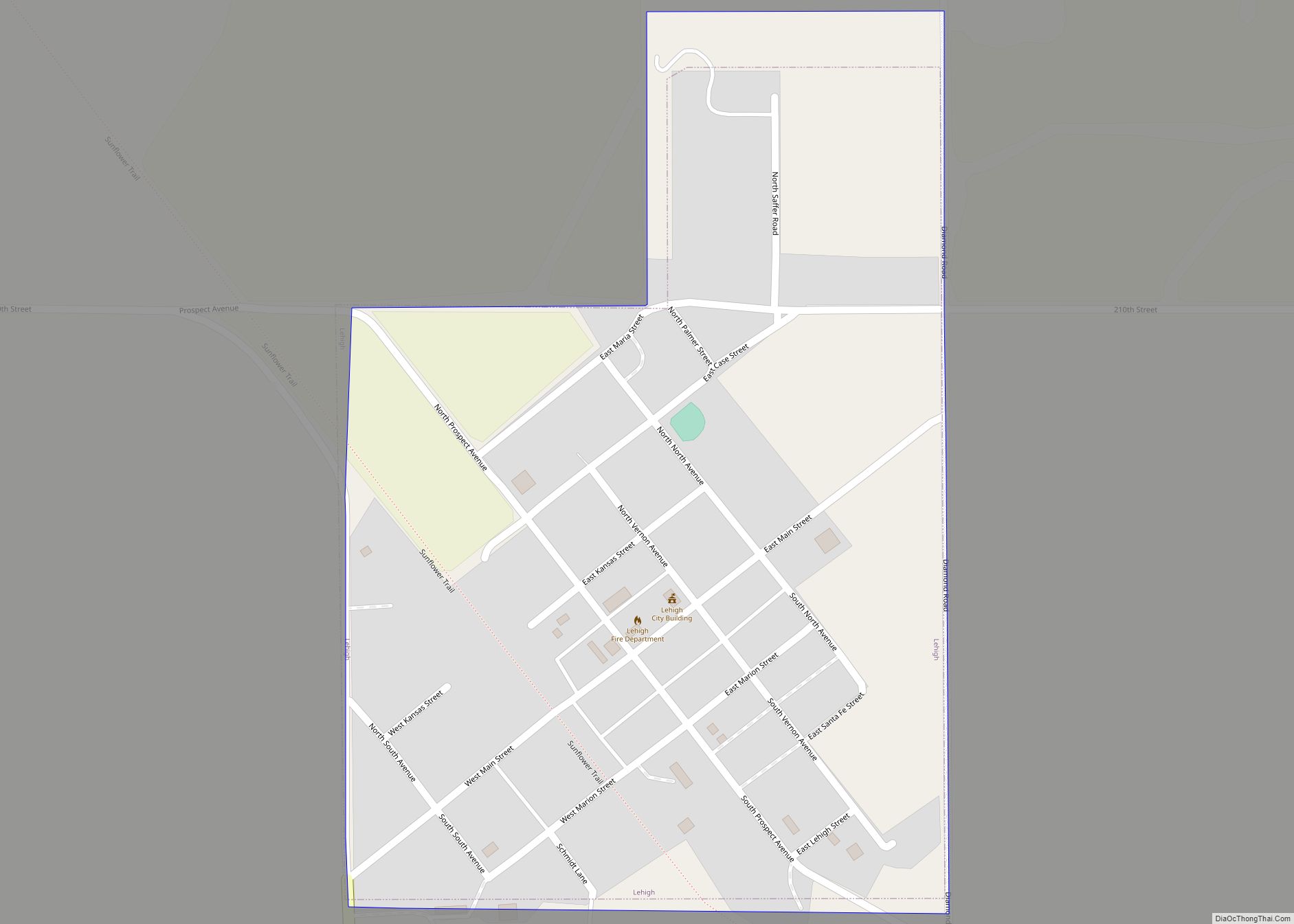
As early as 1875, city leaders of Marion held a meeting to consider a branch railroad from Florence. In 1878, Atchison, Topeka and Santa Fe Railway and parties from Marion County and McPherson County chartered the Marion and McPherson Railway Company. In 1879, a branch line was built from Florence to McPherson, in 1880 it was extended to Lyons, in 1881 it was extended to Ellinwood. The line was leased and operated by the Atchison, Topeka and Santa Fe Railway. The line from Florence to Marion, was abandoned in 1968. In 1992, the line from Marion to McPherson was sold to Central Kansas Railway. In 1993, after heavy flood damage, the line from Marion to McPherson was abandoned. The original branch line connected Florence, Oursler, Marion, Canada, Hillsboro, Lehigh, Canton, Galva, McPherson, Conway, Windom, Little River, Mitchell, Lyons, Chase, Ellinwood.
In 1996, the Atchison, Topeka and Santa Fe Railway merged with Burlington Northern Railroad and renamed to the current BNSF Railway. Most locals still refer to this railroad as the “Santa Fe”.
In 1887, the Chicago, Kansas and Nebraska Railway extended its main line from Herington to Pratt. This main line connected Herington, Ramona, Tampa, Durham, Waldeck, Canton, Galva, McPherson, Groveland, Inman, Medora, Hutchinson, Whiteside, Partridge, Arlington, Langdon, Turon, Preston, Natrona, Pratt. In 1888, this main line was extended to Liberal. Later, this line was extended to Tucumcari, New Mexico, and El Paso, Texas. This line is called the “Golden State Limited”.
In 1887, the Chicago, Kansas and Nebraska Railway built a branch line north-south from Herington to Caldwell. This branch line connected Herington, Lost Springs, Lincolnville, Antelope, Marion, Aulne, Peabody, Elbing, Whitewater, Furley, Kechi, Wichita, Peck, Corbin, Wellington, Caldwell. By 1893, this branch line was incrementally built to Fort Worth, Texas. This line is called the “OKT”.
The “Rock Island” has switches in Peabody and Lost Springs to allow connections to the crossing “Santa Fe” railroad in each city.
The Chicago, Kansas and Nebraska Railway was foreclosed in 1891 and was taken over by Chicago, Rock Island and Pacific Railway, which shut down in 1980 and reorganized as Oklahoma, Kansas and Texas Railroad, merged in 1988 with Missouri Pacific Railroad, and finally merged in 1997 with Union Pacific Railroad. Most locals still refer to this railroad as the “Rock Island”.
In 1889, the Marion Belt and Chingawasa Springs Railroad built a 4.5 mile railroad from Marion north-east to Chingawasa Springs. A hotel was built near the site of the spa at Chingawasa Springs, and a depot and eatery as well. Both Santa Fe and Rock Island offered round trip fares from Chicago and western cities to Chingawasa Springs. An economic panic in 1893 closed down the health spa and hotel, and quarry business along the tracks never developed sufficiently. In 1893, the railroad ceased operations, and tracks were removed in 1910.
20th century
The National Old Trails Road, also known as the Ocean-to-Ocean Highway, was established in 1912, and was routed through Lehigh, Hillsboro, Marion, Lost Springs.
Peabody, and nearby Watchorn, experienced an oil boom from 1918 to 1920. The influence of the petroleum industry remained strong in Peabody, and resulted in the greatest change upon the community in the shortest time. More than 100 residences were constructed in October and November 1919. From 1918 to 1919, the population increased by 75% or more, but later decreased as oil booms in other Kansas areas needed the workers.
From 1935 to 1937, the Marion County Lake was constructed southeast of Marion. From 1964 to 1968, the Marion Reservoir was constructed northwest of Marion.
21st century
In 2010, the Keystone-Cushing Pipeline (Phase II) was constructed north to south through Marion County with much controversy over road damage, tax exemption, and environmental concerns (if a leak ever occurs).
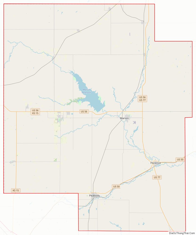
Marion County Road Map
Geography
According to the U.S. Census Bureau, the county has a total area of 954 square miles (2,470 km), of which 944 square miles (2,440 km) is land and 9.4 square miles (24 km) (1.0%) is water.
Marion County is located in the Great Plains, and the eastern part of the county is part of the Flint Hills.
Adjacent counties
- Dickinson County (north)
- Morris County (northeast)
- Chase County (east)
- Butler County (southeast)
- Harvey County (southwest)
- McPherson County (west)
- Saline County (northwest)
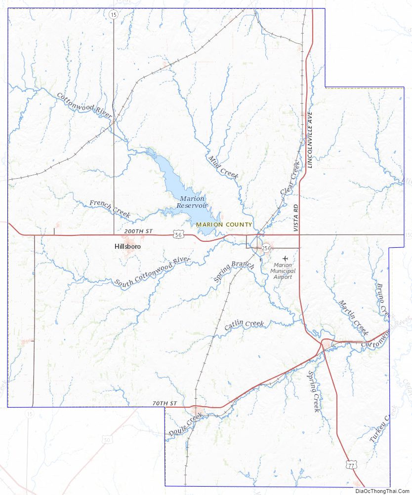
Marion County Topographic Map
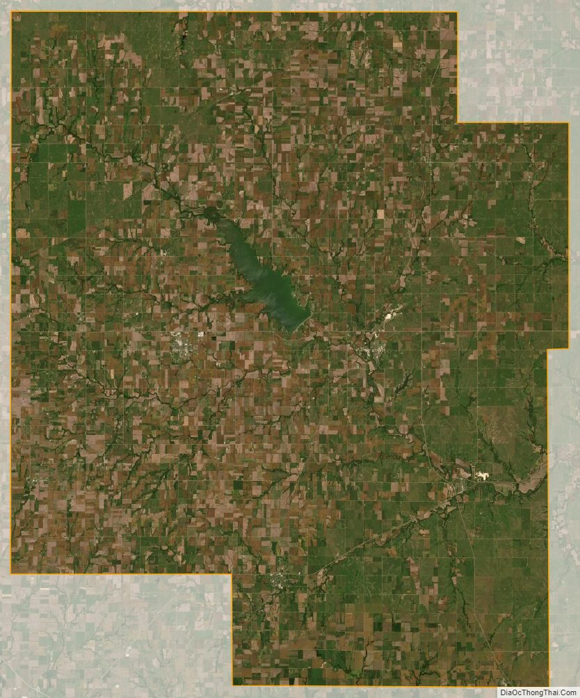
Marion County Satellite Map
Marion County Outline Map