Augusta is a city in Butler County, Kansas, United States. As of the 2020 census, the population of the city was 9,256.
| Name: | Augusta city |
|---|---|
| LSAD Code: | 25 |
| LSAD Description: | city (suffix) |
| State: | Kansas |
| County: | Butler County |
| Founded: | 1868 |
| Incorporated: | 1871 |
| Elevation: | 1,273 ft (388 m) |
| Total Area: | 4.87 sq mi (12.62 km²) |
| Land Area: | 4.24 sq mi (10.99 km²) |
| Water Area: | 0.63 sq mi (1.64 km²) |
| Total Population: | 9,256 |
| Population Density: | 1,900/sq mi (730/km²) |
| ZIP code: | 67010 |
| Area code: | 316 |
| FIPS code: | 2003300 |
| Website: | augustaks.org |
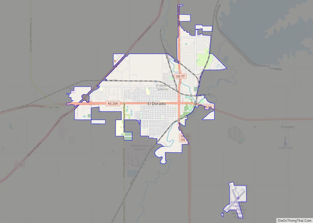
Online Interactive Map
Click on ![]() to view map in "full screen" mode.
to view map in "full screen" mode.
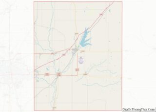
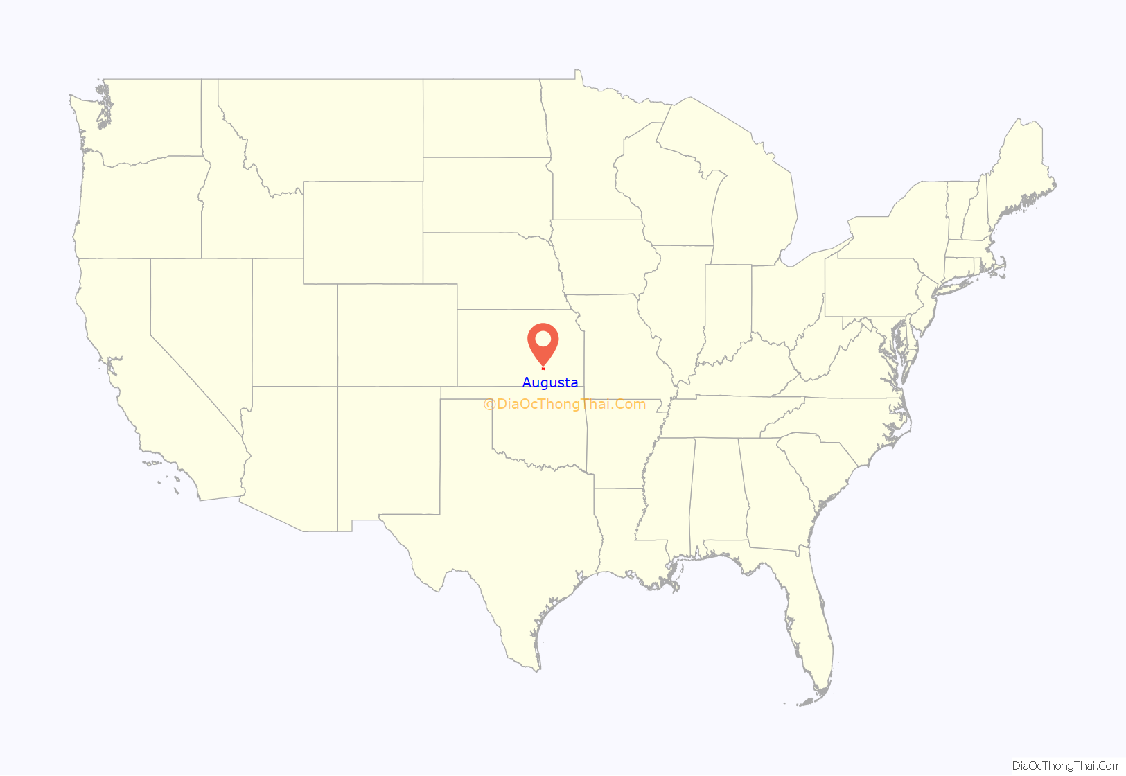
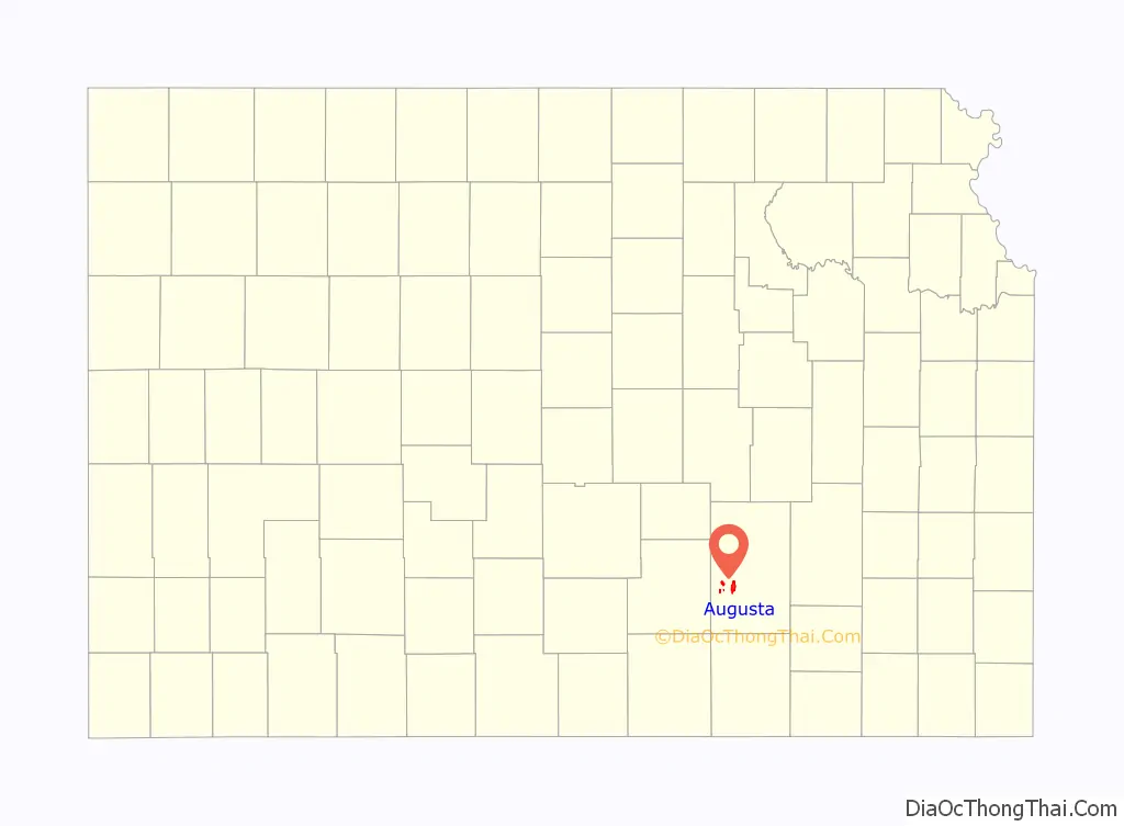
Augusta location map. Where is Augusta city?
History
19th century
The confluence of the Whitewater River and the Walnut River was originally inhabited by Osage people, who found the land ideal for hunting and fishing.
In 1868, C. N. James settled in the area and built a log cabin to serve also as a general store and trading post. Around that same time, a post office was established in the settlement, and as the first postmaster, C. N. James named the post office and the town in honor of his wife, Augusta James.
In 1877, the Florence, El Dorado, and Walnut Valley Railroad Company built a branch line from Florence to El Dorado. In 1881 it was extended to Douglass, and later to Arkansas City. The rail line was leased and operated by the Atchison, Topeka and Santa Fe Railway. Service from Florence to El Dorado was abandoned in 1942. The original branch line connected Florence, Burns, De Graff, El Dorado, Augusta, Douglass, Rock, Akron, Winfield, Arkansas City. In 2020, the Santa Fe (now BNSF) still maintains tracks through Augusta at the 301 E. Fifth St. headquarters, a brick depot constructed in 1916–1917. The St. Louis & San Francisco (Frisco) Railroad established a depot in Augusta in 1880, serving both passengers and freight. Passenger service ended in 1960.
20th century
The discovery of oil near Augusta in 1914, and soon elsewhere in Butler County, led to the doubling of the population of Augusta between 1910 and 1920. Oil drilling and refining became a major source of employment for many years. In 1916, L. L. Marcell founded the White Eagle Oil Company in Augusta. Other early refineries were the Walnut Refining Company and the Lakeside Refinery. In 1930, White Eagle was purchased by the Standard Oil Company of New York and was known as “Socony-Vacuum” for many years, then renamed Mobil in 1966. The closure of Mobil Refinery in 1983 marked a change in Augusta’s commerce.
21st century
In 2010, the Keystone-Cushing Pipeline (Phase II) was constructed about 1.5 miles west of Augusta, north to south through Butler County, with much controversy over tax exemption and environmental concerns (if a leak ever occurs).
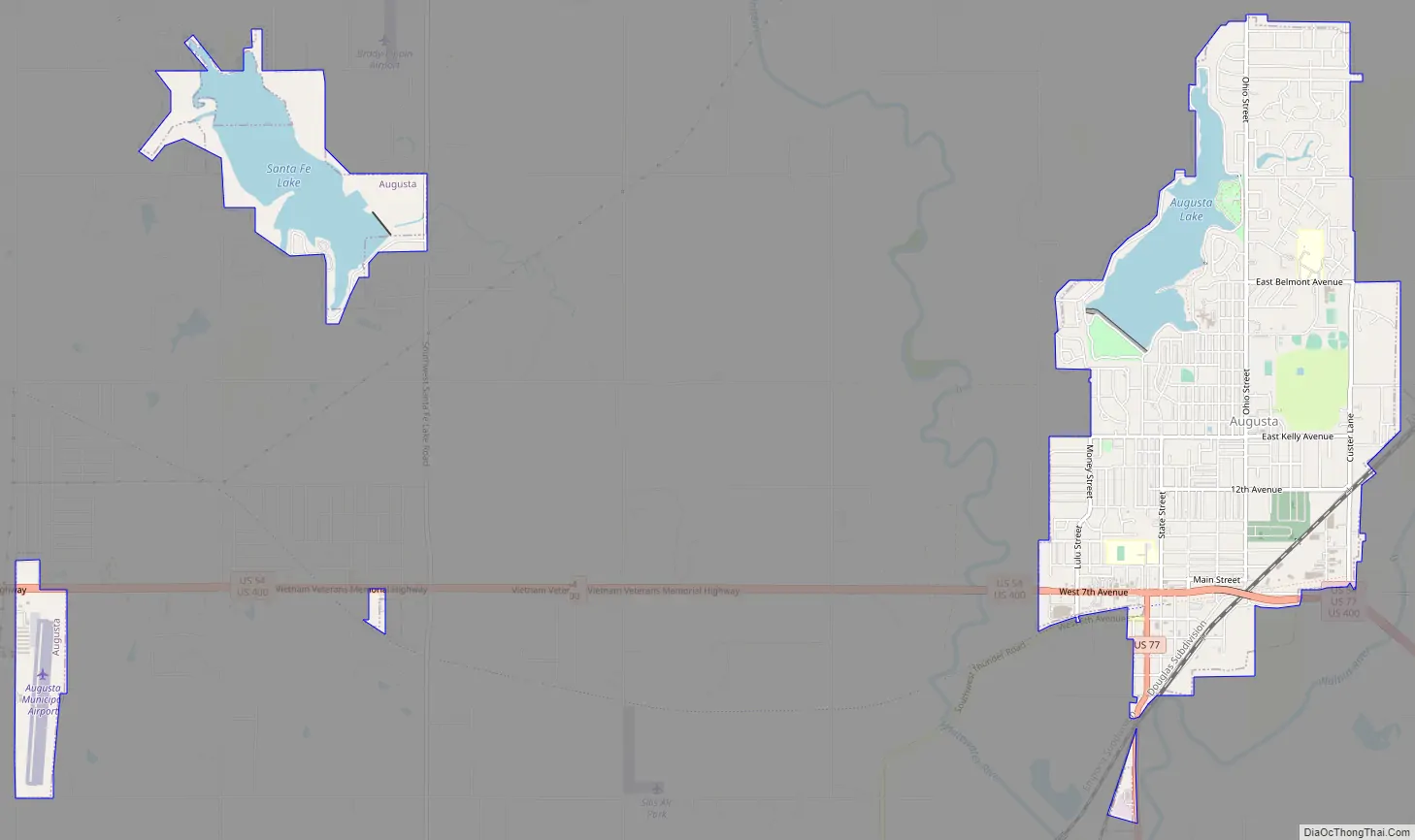
Augusta Road Map
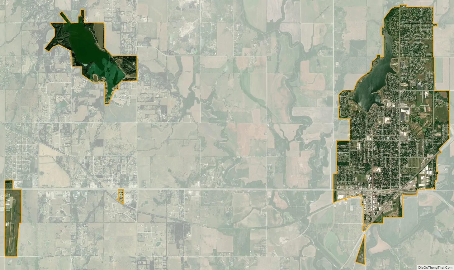
Augusta city Satellite Map
Geography
Augusta is located at 37°41′33″N 96°58′48″W / 37.69250°N 96.98000°W / 37.69250; -96.98000 (37.692425, -96.979886), at the confluence of the Walnut and Whitewater Rivers. It is located along the western edge of Butler County. According to the United States Census Bureau, the city has a total area of 4.75 square miles (12.30 km), of which, 4.23 square miles (10.96 km) is land and 0.52 square miles (1.35 km) is water.
Climate
The climate in this area is characterized by hot, humid summers and generally mild to cool winters. According to the Köppen Climate Classification system, Augusta has a humid subtropical climate, abbreviated “Cfa” on climate maps.
See also
Map of Kansas State and its subdivision:- Allen
- Anderson
- Atchison
- Barber
- Barton
- Bourbon
- Brown
- Butler
- Chase
- Chautauqua
- Cherokee
- Cheyenne
- Clark
- Clay
- Cloud
- Coffey
- Comanche
- Cowley
- Crawford
- Decatur
- Dickinson
- Doniphan
- Douglas
- Edwards
- Elk
- Ellis
- Ellsworth
- Finney
- Ford
- Franklin
- Geary
- Gove
- Graham
- Grant
- Gray
- Greeley
- Greenwood
- Hamilton
- Harper
- Harvey
- Haskell
- Hodgeman
- Jackson
- Jefferson
- Jewell
- Johnson
- Kearny
- Kingman
- Kiowa
- Labette
- Lane
- Leavenworth
- Lincoln
- Linn
- Logan
- Lyon
- Marion
- Marshall
- McPherson
- Meade
- Miami
- Mitchell
- Montgomery
- Morris
- Morton
- Nemaha
- Neosho
- Ness
- Norton
- Osage
- Osborne
- Ottawa
- Pawnee
- Phillips
- Pottawatomie
- Pratt
- Rawlins
- Reno
- Republic
- Rice
- Riley
- Rooks
- Rush
- Russell
- Saline
- Scott
- Sedgwick
- Seward
- Shawnee
- Sheridan
- Sherman
- Smith
- Stafford
- Stanton
- Stevens
- Sumner
- Thomas
- Trego
- Wabaunsee
- Wallace
- Washington
- Wichita
- Wilson
- Woodson
- Wyandotte
- Alabama
- Alaska
- Arizona
- Arkansas
- California
- Colorado
- Connecticut
- Delaware
- District of Columbia
- Florida
- Georgia
- Hawaii
- Idaho
- Illinois
- Indiana
- Iowa
- Kansas
- Kentucky
- Louisiana
- Maine
- Maryland
- Massachusetts
- Michigan
- Minnesota
- Mississippi
- Missouri
- Montana
- Nebraska
- Nevada
- New Hampshire
- New Jersey
- New Mexico
- New York
- North Carolina
- North Dakota
- Ohio
- Oklahoma
- Oregon
- Pennsylvania
- Rhode Island
- South Carolina
- South Dakota
- Tennessee
- Texas
- Utah
- Vermont
- Virginia
- Washington
- West Virginia
- Wisconsin
- Wyoming