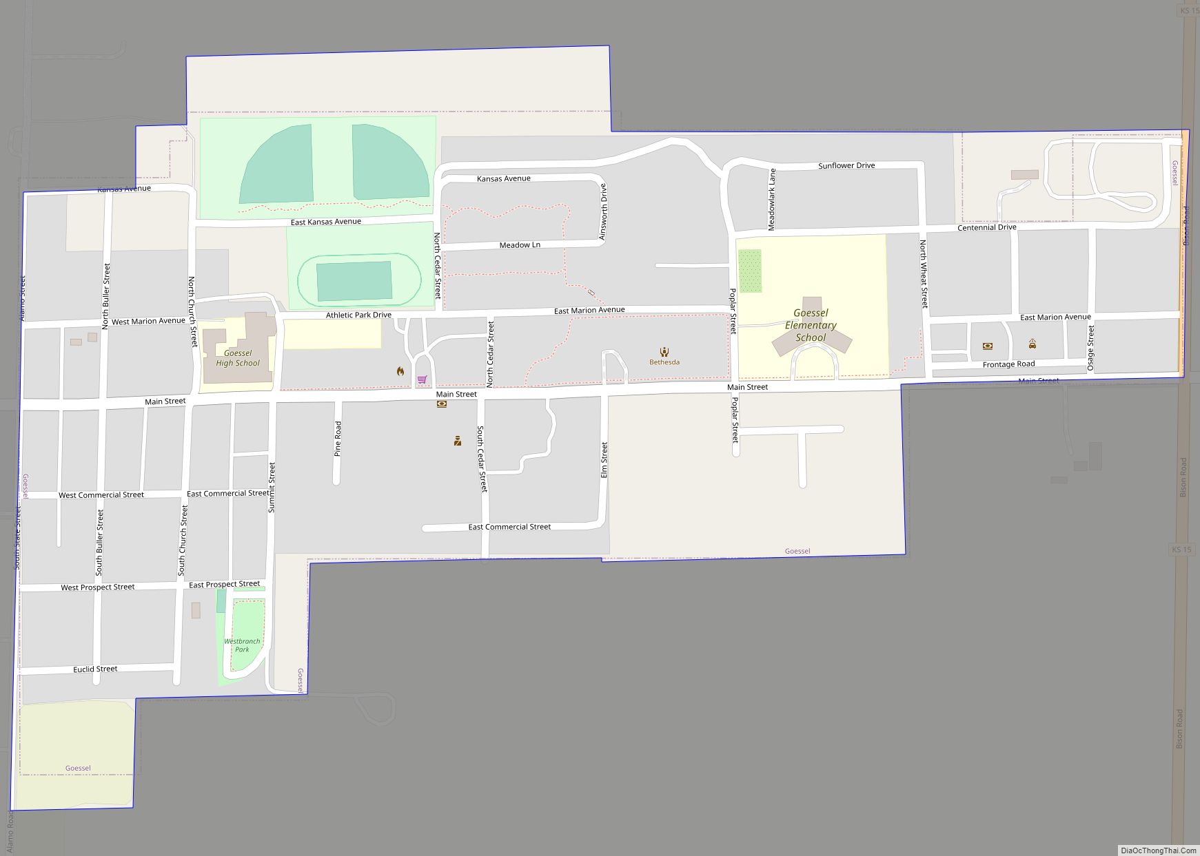
Goessel is a city in Marion County, Kansas, United States. It was named after Captain Kurt von Goessel (1852–1895) who went down with his ship, the Elbe, in the English Channel after it was rammed. As of the 2020 census, the population of the city was 556. It is located about 11 miles north of North Newton on the west side of K-15 highway.
| Name: | Goessel city |
|---|---|
| LSAD Code: | 25 |
| LSAD Description: | city (suffix) |
| State: | Kansas |
| County: | Marion County |
| Incorporated: | 1952 |
| Elevation: | 1,532 ft (467 m) |
| Total Area: | 0.38 sq mi (0.98 km²) |
| Land Area: | 0.38 sq mi (0.98 km²) |
| Water Area: | 0.00 sq mi (0.00 km²) |
| Total Population: | 556 |
| Population Density: | 1,500/sq mi (570/km²) |
| ZIP code: | 67053 |
| Area code: | 620 |
| FIPS code: | 2026750 |
| Website: | goesselks.com |
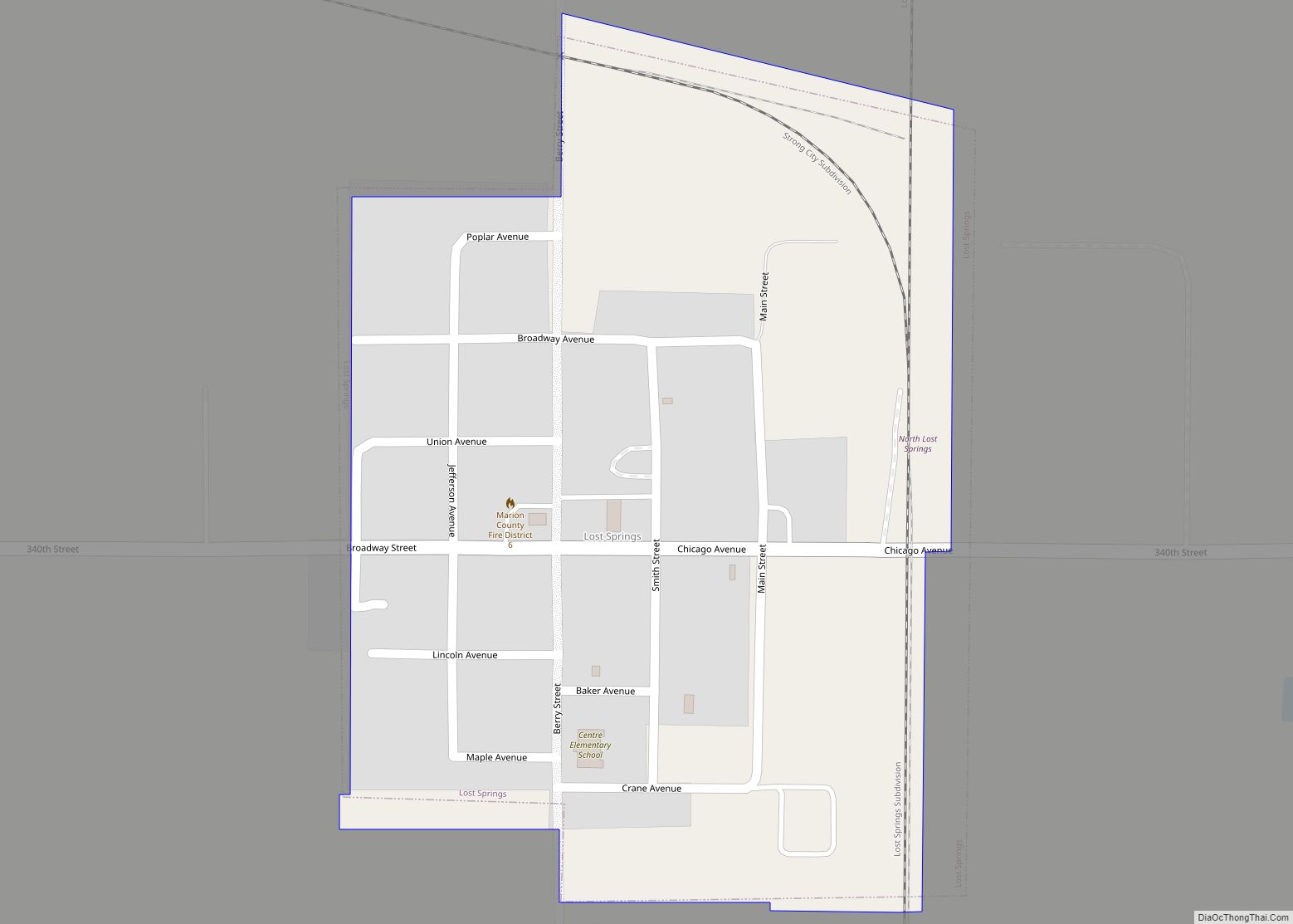
Online Interactive Map
Click on ![]() to view map in "full screen" mode.
to view map in "full screen" mode.
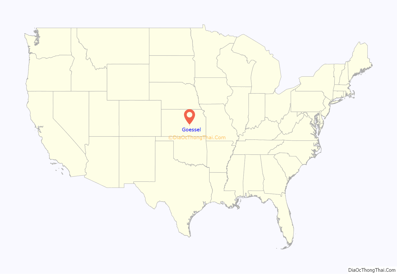
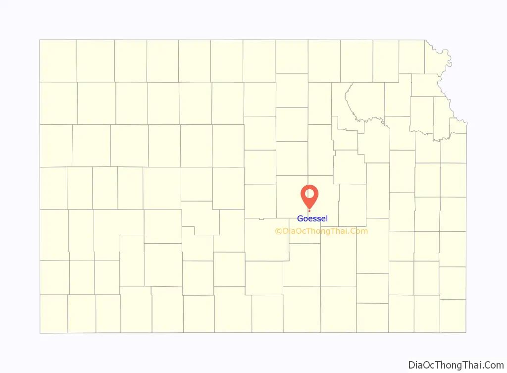
Goessel location map. Where is Goessel city?
History
Early history
For many millennia, the Great Plains of North America was inhabited by nomadic Native Americans. From the 16th century to the 18th century, the Kingdom of France claimed ownership of large parts of North America. In 1762, after the French and Indian War, France secretly ceded New France to Spain per the Treaty of Fontainebleau.
19th century
In 1802, Spain returned most of the land to France. In 1803, most of the land for present-day Kansas was acquired by the United States from France as part of the 828,000-square-mile Louisiana Purchase for 2.83 cents per acre.
The Kansas Territory was organized in 1854, and Kansas became the 34th U.S. state in 1861. In 1855, Marion County was established within the Kansas Territory and included present-day Goessel.
The year 1874 saw the first wave of an immigration of Plautdietsch-speaking Russian Mennonites to south-central Kansas. The move was an attempt to preserve religious heritage and freedom after exclusion from military service was rescinded. In 1873 twelve Mennonite delegates from the Russian Empire toured Manitoba and Kansas, with the four conservative Mennonite delegates selecting the East Reserve in Manitoba and the eight liberal delegates selecting immigration to Kansas. In the next decade, one-third of Mennonites in Russia moved to North America. In 1874 a large number of Mennonites from the Molotschna Colony emigrated en masse to the United States aboard the ships Teutonia and Cimbria. This group split into two groups. The Alexanderwohl group sailed on the Cimbria and settled around present-day Goessel, and the Hoffnungsau group sailed on the Teutonia and settled around present-day Buhler and Inman.
The Alexanderwohl group split into eight communal villages. The village of Gnadenfeld (translation: Grace Field) was located where Goessel now stands. The village lasted for several years as a communal village, and then families moved onto their own larger parcels of land nearby. Several years passed before a trading center developed. The first public structure erected in Goessel was the Mennonite Brethren church in 1890, and one of the first businesses was a creamery station established that same year. In 1891 a small mercantile store was opened and Dr. Peter Richert moved into a building that was used as his doctor’s office; later it became a post office. Dr. Richert read the story of Captain Kurt von Goessel, who went down with his steamship Elbe in the English Channel, and decided to submit the name Goessel to the U.S. Postal Department; the name was accepted on April 13, 1895.
20th century
In 1910, Goessel was platted and had a population of 100 people. In 1952, Goessel was incorporated and had a population of 260. In 2010, the United States Census reported 248 households and a population of 539.
On March 13, 1990, Goessel was damaged by an “extreme F5” tornado during a tornado outbreak. The severity of the damage left behind by this tornado led some meteorologists to believe that the Goessel tornado was among the strongest ever documented at that time.
Goessel is home to the Mennonite Heritage Museum, a complex of eight buildings that preserve artifacts from early Mennonite households, farms, schools, and churches and the Bethesda Mennonite Hospital.
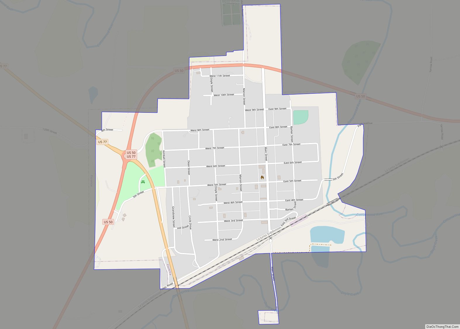
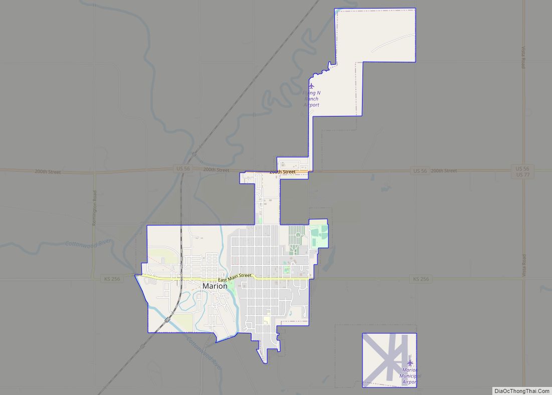
Goessel Road Map

Goessel city Satellite Map

Geography
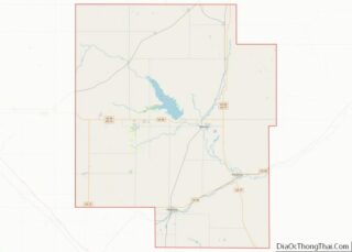
Goessel is located at coordinates 38.2463992, -97.3489233 in the Great Plains of the state of Kansas. According to the United States Census Bureau, the city has a total area of 0.35 square miles (0.91 km), all of it land. The county line is 1 mile west of Goessel.
Climate
The climate in this area is characterized by hot, humid summers and generally mild to cool winters with very cold periods.
See also
Map of Kansas State and its subdivision:- Allen
- Anderson
- Atchison
- Barber
- Barton
- Bourbon
- Brown
- Butler
- Chase
- Chautauqua
- Cherokee
- Cheyenne
- Clark
- Clay
- Cloud
- Coffey
- Comanche
- Cowley
- Crawford
- Decatur
- Dickinson
- Doniphan
- Douglas
- Edwards
- Elk
- Ellis
- Ellsworth
- Finney
- Ford
- Franklin
- Geary
- Gove
- Graham
- Grant
- Gray
- Greeley
- Greenwood
- Hamilton
- Harper
- Harvey
- Haskell
- Hodgeman
- Jackson
- Jefferson
- Jewell
- Johnson
- Kearny
- Kingman
- Kiowa
- Labette
- Lane
- Leavenworth
- Lincoln
- Linn
- Logan
- Lyon
- Marion
- Marshall
- McPherson
- Meade
- Miami
- Mitchell
- Montgomery
- Morris
- Morton
- Nemaha
- Neosho
- Ness
- Norton
- Osage
- Osborne
- Ottawa
- Pawnee
- Phillips
- Pottawatomie
- Pratt
- Rawlins
- Reno
- Republic
- Rice
- Riley
- Rooks
- Rush
- Russell
- Saline
- Scott
- Sedgwick
- Seward
- Shawnee
- Sheridan
- Sherman
- Smith
- Stafford
- Stanton
- Stevens
- Sumner
- Thomas
- Trego
- Wabaunsee
- Wallace
- Washington
- Wichita
- Wilson
- Woodson
- Wyandotte
- Alabama
- Alaska
- Arizona
- Arkansas
- California
- Colorado
- Connecticut
- Delaware
- District of Columbia
- Florida
- Georgia
- Hawaii
- Idaho
- Illinois
- Indiana
- Iowa
- Kansas
- Kentucky
- Louisiana
- Maine
- Maryland
- Massachusetts
- Michigan
- Minnesota
- Mississippi
- Missouri
- Montana
- Nebraska
- Nevada
- New Hampshire
- New Jersey
- New Mexico
- New York
- North Carolina
- North Dakota
- Ohio
- Oklahoma
- Oregon
- Pennsylvania
- Rhode Island
- South Carolina
- South Dakota
- Tennessee
- Texas
- Utah
- Vermont
- Virginia
- Washington
- West Virginia
- Wisconsin
- Wyoming