Forestville is an unincorporated area and census-designated place (CDP) in Prince George’s County, Maryland, United States. Per the 2020 census, the population was 12,831. The community is a mixture of garden apartments, single-family homes, and shopping centers built mostly from the 1930s through 1970s, adjacent to the communities of District Heights, Suitland, Morningside, Westphalia and Camp Springs. Forestville is located close to the town of Upper Marlboro, where many Prince George’s County Board Offices are located. Additionally, Forestville is located adjacent to the Joint Base Andrews/ Andrews Air Force Base. The neighborhood has a majority African-American population. It is convenient to the Capital Beltway (I-95/I-495), Maryland Route 4 (which has department stores and shopping centers), including Penn Mar Shopping Center, and for employees of Andrews Air Force Base and the U.S. Census Bureau. Forestville is located within proximity to the Suitland Metro Station, served by WMATA’s Green Line. A notable former resident was Steny Hoyer, now Democratic Leader of the United States House of Representatives.
| Name: | Forestville CDP |
|---|---|
| LSAD Code: | 57 |
| LSAD Description: | CDP (suffix) |
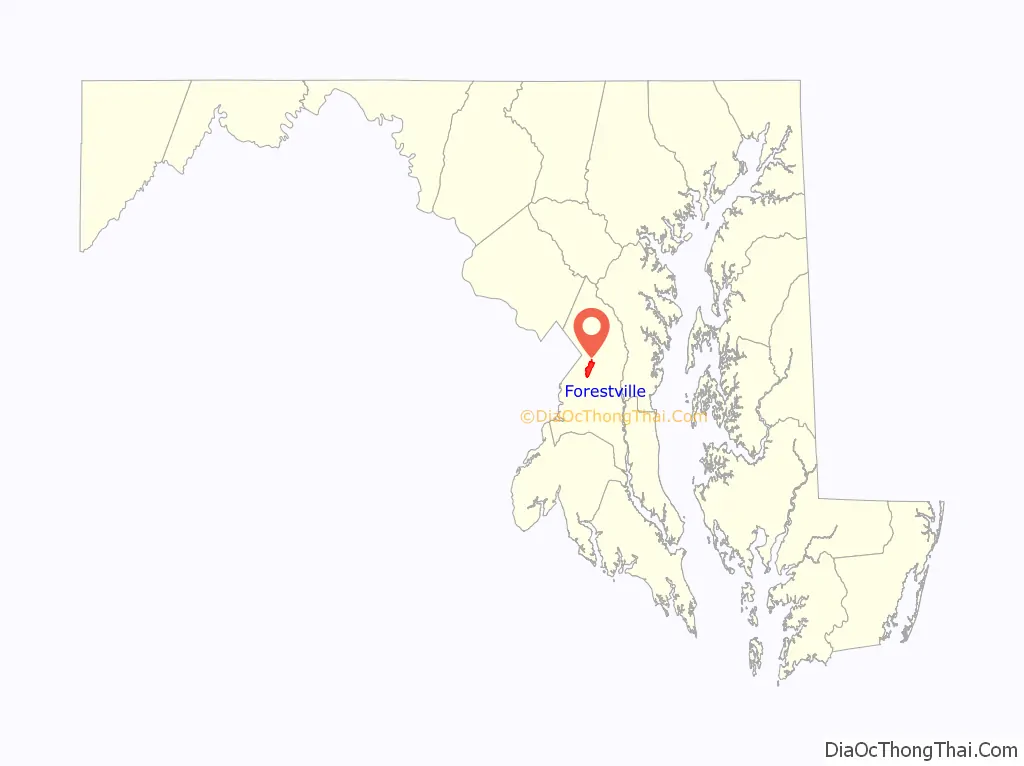
| State: | Maryland |
| County: | Prince George’s County |
| Elevation: | 279 ft (85 m) |
| Total Area: | 3.93 sq mi (10.17 km²) |
| Land Area: | 3.93 sq mi (10.17 km²) |
| Water Area: | 0.00 sq mi (0.00 km²) |
| Total Population: | 12,831 |
| Population Density: | 3,267.38/sq mi (1,261.46/km²) |
| ZIP code: | 20747, 20753 |
| Area code: | 301, 240 |
| FIPS code: | 2429000 |
| GNISfeature ID: | 0597413 |
Online Interactive Map
Click on ![]() to view map in "full screen" mode.
to view map in "full screen" mode.
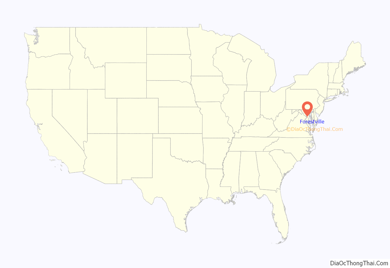
Forestville location map. Where is Forestville CDP?
History
Forestville was originally known as Long Old Fields. During the War of 1812, Long Old Fields served as an encampment on August 23, 1814 for American forces opposing the invading British, who camped just a few miles away. These forces met at the Battle of Bladensburg the next day. Long Old Fields’ name was changed to Forestville sometime after the end of the Civil War in 1865.
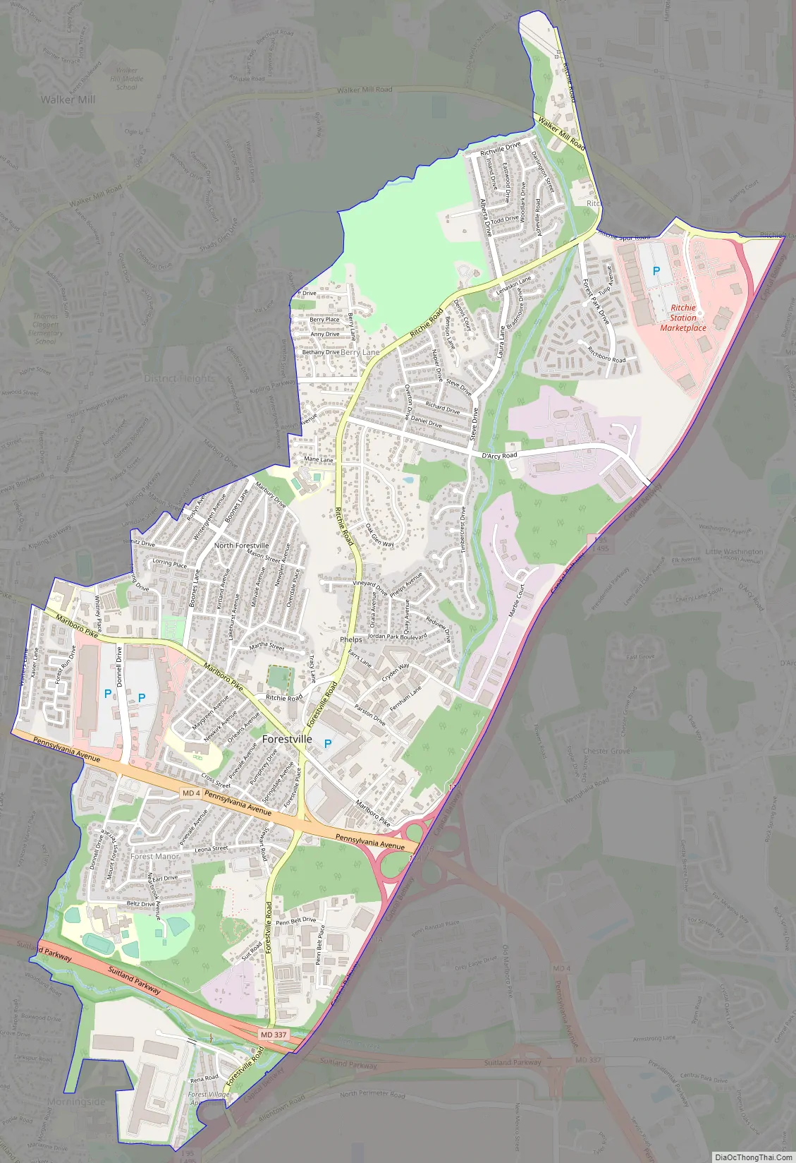
Forestville Road Map
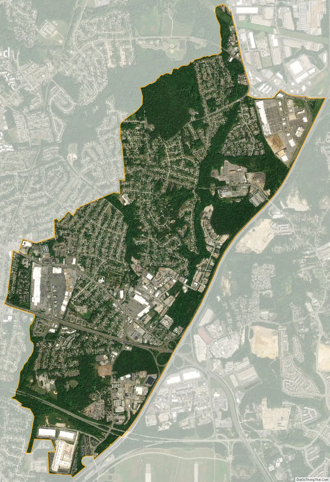
Forestville city Satellite Map
Geography
Forestville is located at 38°51′18″N 76°52′31″W / 38.854912°N 76.875189°W / 38.854912; -76.875189. According to the United States Census Bureau, the CDP has a total area of 4.0 square miles (10 km), all land.
See also
Map of Maryland State and its subdivision: Map of other states:- Alabama
- Alaska
- Arizona
- Arkansas
- California
- Colorado
- Connecticut
- Delaware
- District of Columbia
- Florida
- Georgia
- Hawaii
- Idaho
- Illinois
- Indiana
- Iowa
- Kansas
- Kentucky
- Louisiana
- Maine
- Maryland
- Massachusetts
- Michigan
- Minnesota
- Mississippi
- Missouri
- Montana
- Nebraska
- Nevada
- New Hampshire
- New Jersey
- New Mexico
- New York
- North Carolina
- North Dakota
- Ohio
- Oklahoma
- Oregon
- Pennsylvania
- Rhode Island
- South Carolina
- South Dakota
- Tennessee
- Texas
- Utah
- Vermont
- Virginia
- Washington
- West Virginia
- Wisconsin
- Wyoming


