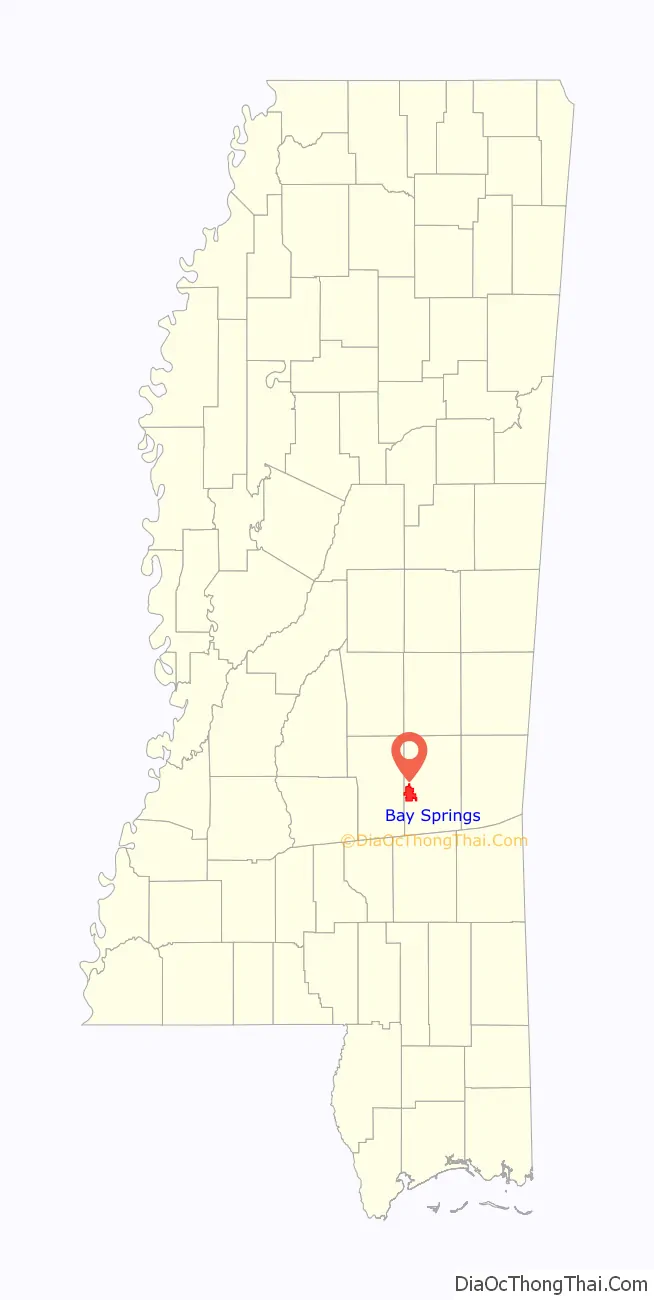
Bay Springs is a city in and the western county seat of Jasper County, Mississippi, United States. The population was 1,670 at the 2020 census, down from 1,786 at the 2010 census. State highways 15 and 18 intersect at the city. It is part of the Laurel, Mississippi (in Jones County) micropolitan area.
The area was settled in the 1880s by Joe Blankenship, who built the sawmill for the yellow pine timber industry that comprised the town’s industrial base. The city was incorporated about twenty years later after railroads were constructed through it. That access attracted other industry and business, and the city was designated as the second county seat. Its population has declined slightly since 2000.
| Name: | Bay Springs city |
|---|---|
| LSAD Code: | 25 |
| LSAD Description: | city (suffix) |
| State: | Mississippi |
| County: | Jasper County |
| Elevation: | 423 ft (129 m) |
| Total Area: | 15.01 sq mi (38.87 km²) |
| Land Area: | 14.94 sq mi (38.71 km²) |
| Water Area: | 0.06 sq mi (0.16 km²) |
| Total Population: | 1,670 |
| Population Density: | 111.75/sq mi (43.15/km²) |
| ZIP code: | 39422 |
| Area code: | 601 |
| FIPS code: | 2804060 |
| GNISfeature ID: | 0666590 |
| Website: | cityofbaysprings.com |
Online Interactive Map
Click on ![]() to view map in "full screen" mode.
to view map in "full screen" mode.
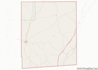
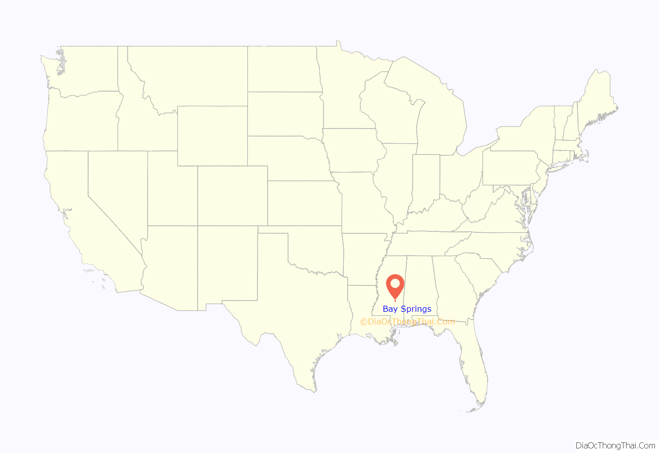
Bay Springs location map. Where is Bay Springs city?
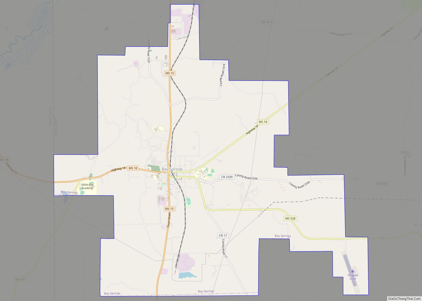
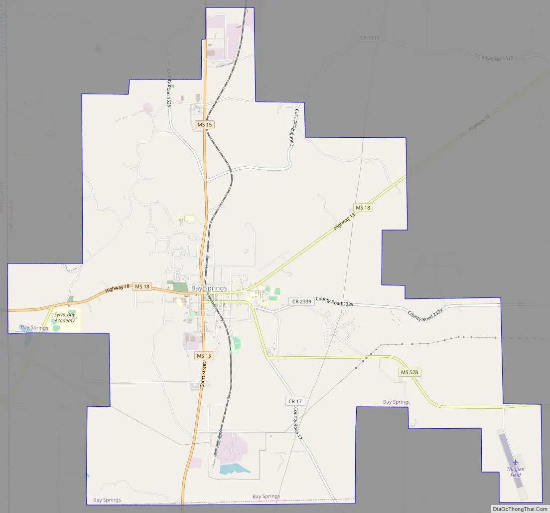
Bay Springs Road Map
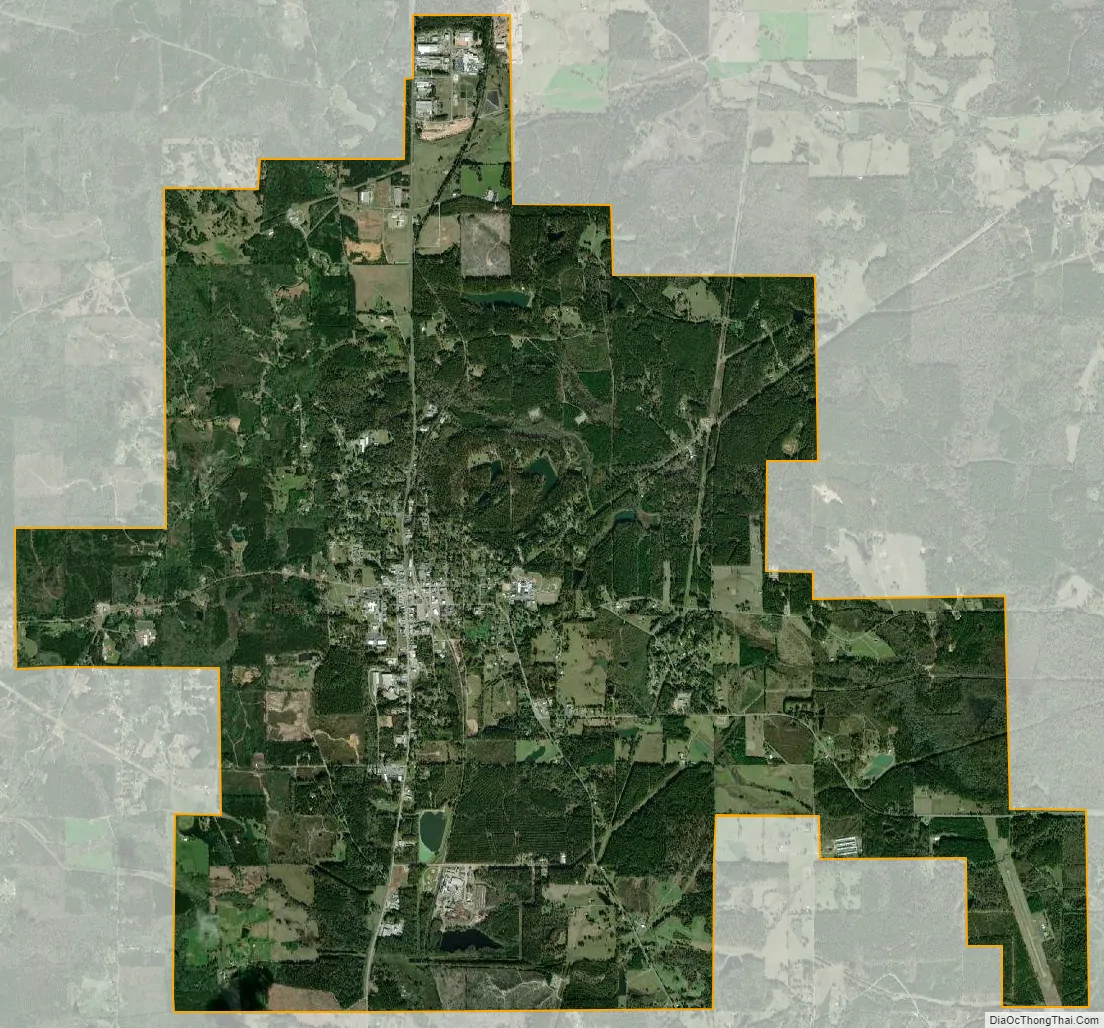
Bay Springs city Satellite Map
Geography
Bay Springs is located in western Jasper County at 31°58′36″N 89°16′46″W / 31.97667°N 89.27944°W / 31.97667; -89.27944 (31.976761, -89.279574). Mississippi Highway 15 (Court Street) passes through the center of town, leading north 27 miles (43 km) to Newton and south 24 miles (39 km) to Laurel. Highway 18 (Fifth Avenue) crosses Highway 15 in the center of town and leads northeast 21 miles (34 km) to Rose Hill and west 15 miles (24 km) to Raleigh.
According to the United States Census Bureau, the city has a total area of 15.0 square miles (38.9 km), of which 14.9 square miles (38.7 km) are land and 0.1 square miles (0.2 km), or 0.42%, are water.
See also
Map of Mississippi State and its subdivision:- Adams
- Alcorn
- Amite
- Attala
- Benton
- Bolivar
- Calhoun
- Carroll
- Chickasaw
- Choctaw
- Claiborne
- Clarke
- Clay
- Coahoma
- Copiah
- Covington
- Desoto
- Forrest
- Franklin
- George
- Greene
- Grenada
- Hancock
- Harrison
- Hinds
- Holmes
- Humphreys
- Issaquena
- Itawamba
- Jackson
- Jasper
- Jefferson
- Jefferson Davis
- Jones
- Kemper
- Lafayette
- Lamar
- Lauderdale
- Lawrence
- Leake
- Lee
- Leflore
- Lincoln
- Lowndes
- Madison
- Marion
- Marshall
- Monroe
- Montgomery
- Neshoba
- Newton
- Noxubee
- Oktibbeha
- Panola
- Pearl River
- Perry
- Pike
- Pontotoc
- Prentiss
- Quitman
- Rankin
- Scott
- Sharkey
- Simpson
- Smith
- Stone
- Sunflower
- Tallahatchie
- Tate
- Tippah
- Tishomingo
- Tunica
- Union
- Walthall
- Warren
- Washington
- Wayne
- Webster
- Wilkinson
- Winston
- Yalobusha
- Yazoo
- Alabama
- Alaska
- Arizona
- Arkansas
- California
- Colorado
- Connecticut
- Delaware
- District of Columbia
- Florida
- Georgia
- Hawaii
- Idaho
- Illinois
- Indiana
- Iowa
- Kansas
- Kentucky
- Louisiana
- Maine
- Maryland
- Massachusetts
- Michigan
- Minnesota
- Mississippi
- Missouri
- Montana
- Nebraska
- Nevada
- New Hampshire
- New Jersey
- New Mexico
- New York
- North Carolina
- North Dakota
- Ohio
- Oklahoma
- Oregon
- Pennsylvania
- Rhode Island
- South Carolina
- South Dakota
- Tennessee
- Texas
- Utah
- Vermont
- Virginia
- Washington
- West Virginia
- Wisconsin
- Wyoming