Canton is a city in Madison County, Mississippi, United States. The population was 13,189 at the 2010 census. It is the county seat of Madison County, and situated in the northern part of the metropolitan area surrounding the state capital, Jackson.
Much of Canton is on the National Register of Historic Places. The courthouse square is a historic shopping district and host to the Canton Flea Market. The picturesque Georgian courthouse is particularly notable and often appears in photographic exhibits of the South. The east side of town is a large part of the historic district with many homes.
Although not a major battle site during the Civil War, Canton was important as a rail and logistics center. Many wounded soldiers were treated in or transported through the city, and as a consequence it has a large Confederate cemetery.
Canton is near a large auto manufacturing facility owned by Nissan.
| Name: | Canton city |
|---|---|
| LSAD Code: | 25 |
| LSAD Description: | city (suffix) |
| State: | Mississippi |
| County: | Madison County |
| Elevation: | 233 ft (71 m) |
| Total Area: | 21.57 sq mi (55.87 km²) |
| Land Area: | 21.29 sq mi (55.13 km²) |
| Water Area: | 0.28 sq mi (0.74 km²) |
| Total Population: | 10,948 |
| Population Density: | 514.30/sq mi (198.57/km²) |
| ZIP code: | 39046 |
| Area code: | 601 |
| FIPS code: | 2811100 |
| GNISfeature ID: | 0691133 |
| Website: | cityofcantonms.com |
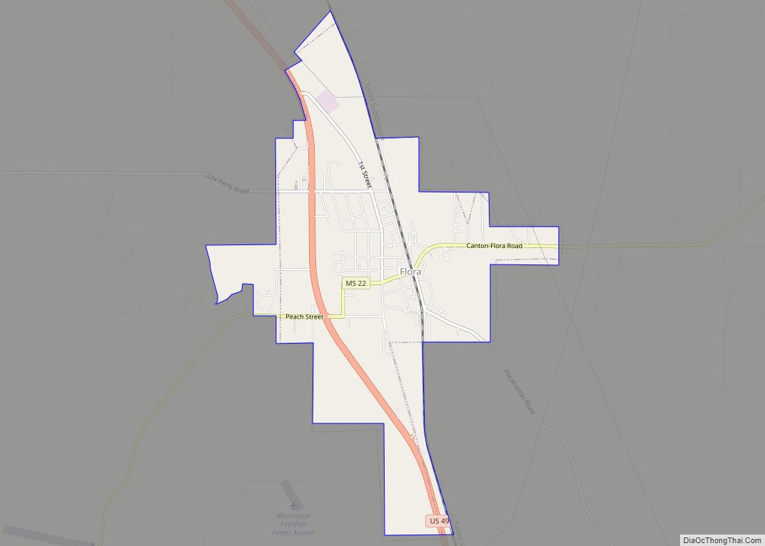
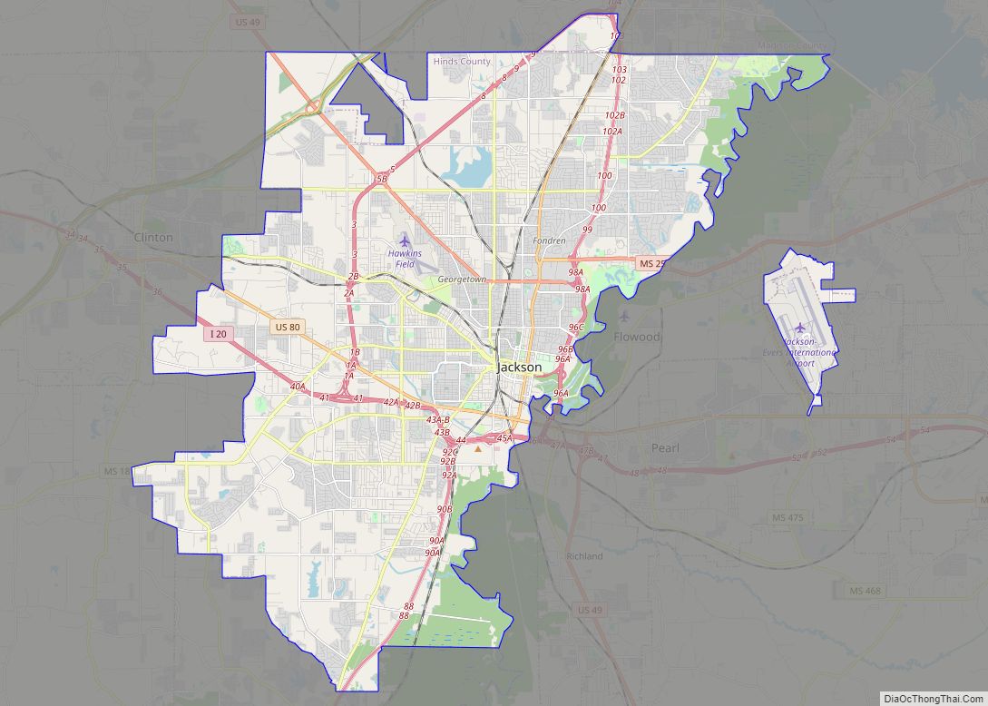
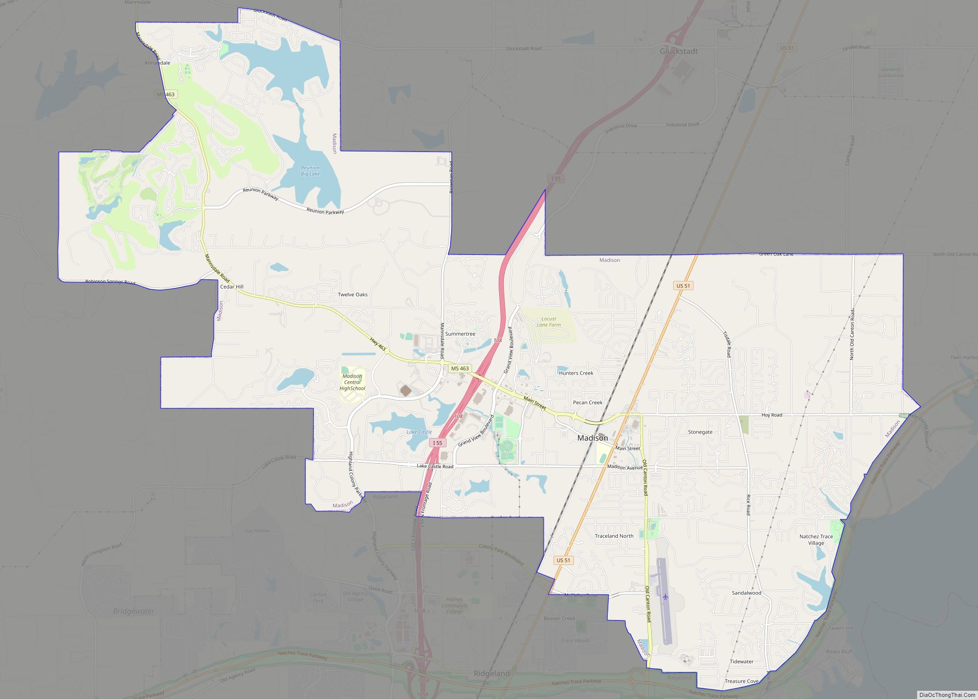
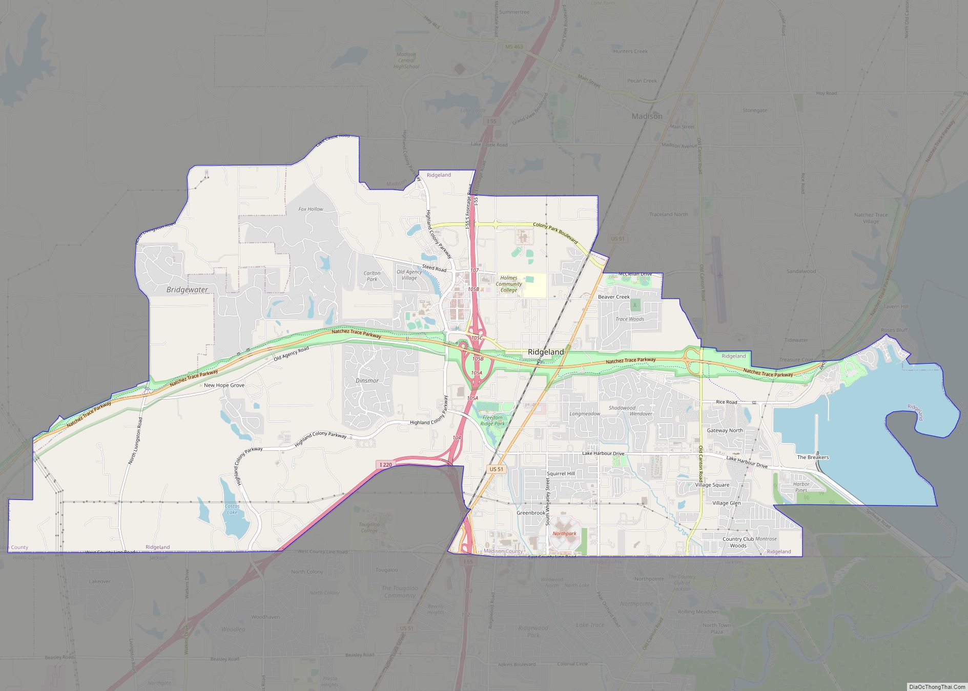
Online Interactive Map
Click on ![]() to view map in "full screen" mode.
to view map in "full screen" mode.
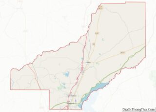
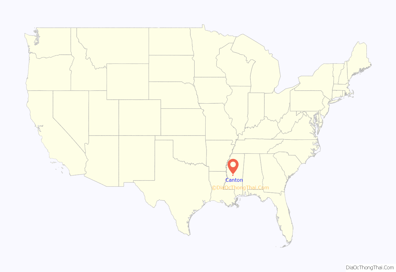
Canton location map. Where is Canton city?

Canton Road Map
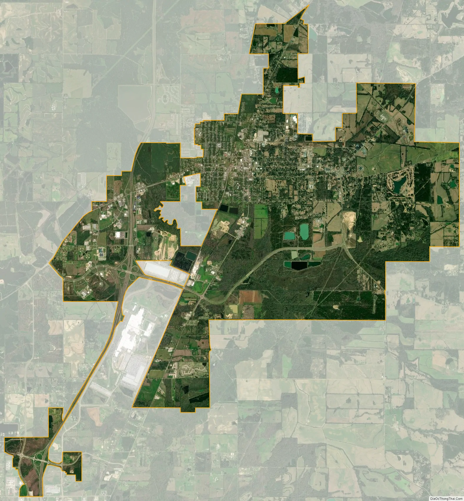
Canton city Satellite Map
Geography
Canton is located at 32°36′43″N 90°1′54″W / 32.61194°N 90.03167°W / 32.61194; -90.03167 (32.612015, -90.031638).
According to the United States Census Bureau, the city has a total area of 18.7 square miles (48 km), of which 18.6 square miles (48 km) is land and 0.1 square miles (0.26 km) (0.69%) is water.
Climate
According to the Köppen Climate Classification system, Canton has a humid subtropical climate, abbreviated ” on climate maps. The hottest temperature recorded in Canton was 108 °F (42.2 °C) on September 7, 1925, while the coldest temperature recorded was −11 °F (−23.9 °C) on January 27, 1940.
See also
Map of Mississippi State and its subdivision:- Adams
- Alcorn
- Amite
- Attala
- Benton
- Bolivar
- Calhoun
- Carroll
- Chickasaw
- Choctaw
- Claiborne
- Clarke
- Clay
- Coahoma
- Copiah
- Covington
- Desoto
- Forrest
- Franklin
- George
- Greene
- Grenada
- Hancock
- Harrison
- Hinds
- Holmes
- Humphreys
- Issaquena
- Itawamba
- Jackson
- Jasper
- Jefferson
- Jefferson Davis
- Jones
- Kemper
- Lafayette
- Lamar
- Lauderdale
- Lawrence
- Leake
- Lee
- Leflore
- Lincoln
- Lowndes
- Madison
- Marion
- Marshall
- Monroe
- Montgomery
- Neshoba
- Newton
- Noxubee
- Oktibbeha
- Panola
- Pearl River
- Perry
- Pike
- Pontotoc
- Prentiss
- Quitman
- Rankin
- Scott
- Sharkey
- Simpson
- Smith
- Stone
- Sunflower
- Tallahatchie
- Tate
- Tippah
- Tishomingo
- Tunica
- Union
- Walthall
- Warren
- Washington
- Wayne
- Webster
- Wilkinson
- Winston
- Yalobusha
- Yazoo
- Alabama
- Alaska
- Arizona
- Arkansas
- California
- Colorado
- Connecticut
- Delaware
- District of Columbia
- Florida
- Georgia
- Hawaii
- Idaho
- Illinois
- Indiana
- Iowa
- Kansas
- Kentucky
- Louisiana
- Maine
- Maryland
- Massachusetts
- Michigan
- Minnesota
- Mississippi
- Missouri
- Montana
- Nebraska
- Nevada
- New Hampshire
- New Jersey
- New Mexico
- New York
- North Carolina
- North Dakota
- Ohio
- Oklahoma
- Oregon
- Pennsylvania
- Rhode Island
- South Carolina
- South Dakota
- Tennessee
- Texas
- Utah
- Vermont
- Virginia
- Washington
- West Virginia
- Wisconsin
- Wyoming