Horn Lake is a city in DeSoto County, Mississippi, United States. It is located 1.2 mi (1.9 km) south of Memphis, Tennessee. As of the 2010 U.S. Census, the population of Horn Lake was 26,066, up from 14,099 in 2000.
| Name: | Horn Lake city |
|---|---|
| LSAD Code: | 25 |
| LSAD Description: | city (suffix) |
| State: | Mississippi |
| County: | DeSoto County |
| Elevation: | 299 ft (91 m) |
| Total Area: | 16.32 sq mi (42.27 km²) |
| Land Area: | 16.02 sq mi (41.51 km²) |
| Water Area: | 0.29 sq mi (0.76 km²) |
| Total Population: | 26,736 |
| Population Density: | 1,668.39/sq mi (644.16/km²) |
| ZIP code: | 38637 |
| Area code: | 662 |
| FIPS code: | 2833700 |
| GNISfeature ID: | 1675449 |
| Website: | www.hornlake.org |
Online Interactive Map
Click on ![]() to view map in "full screen" mode.
to view map in "full screen" mode.
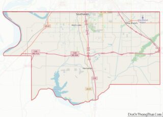
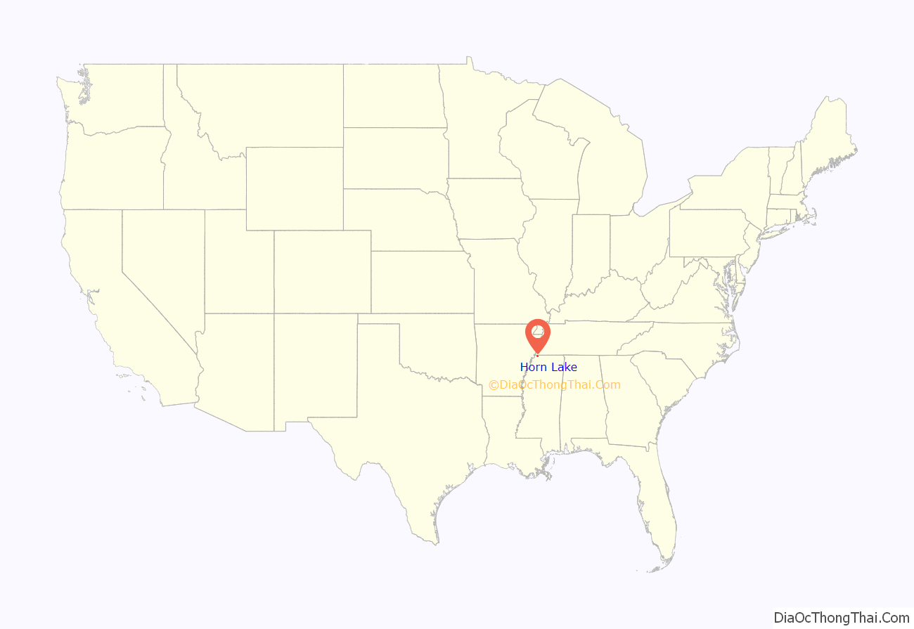
Horn Lake location map. Where is Horn Lake city?
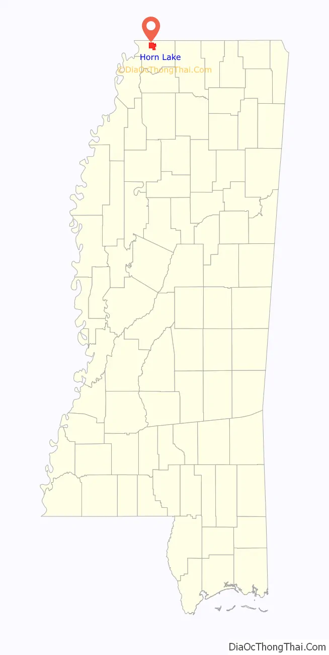
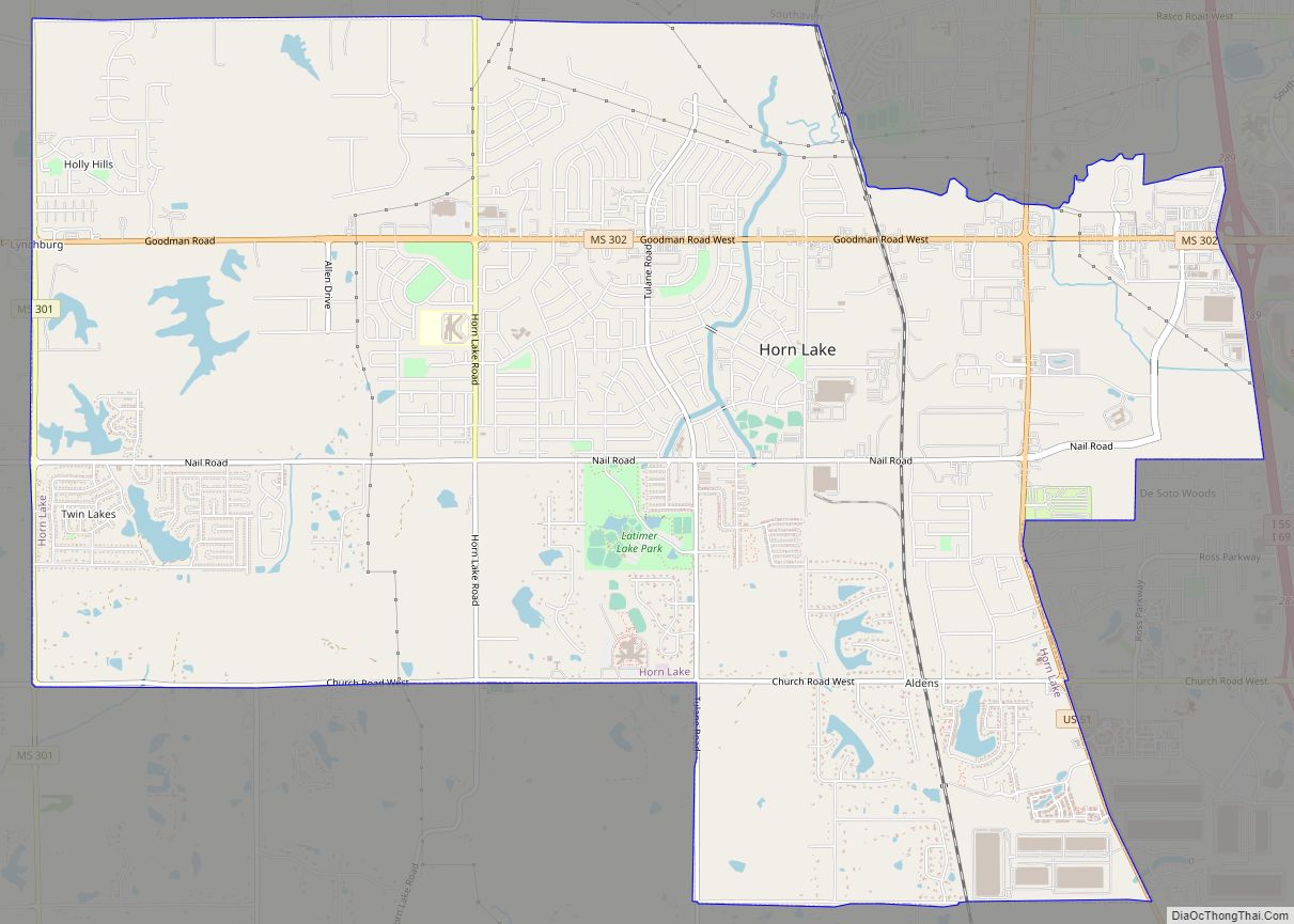
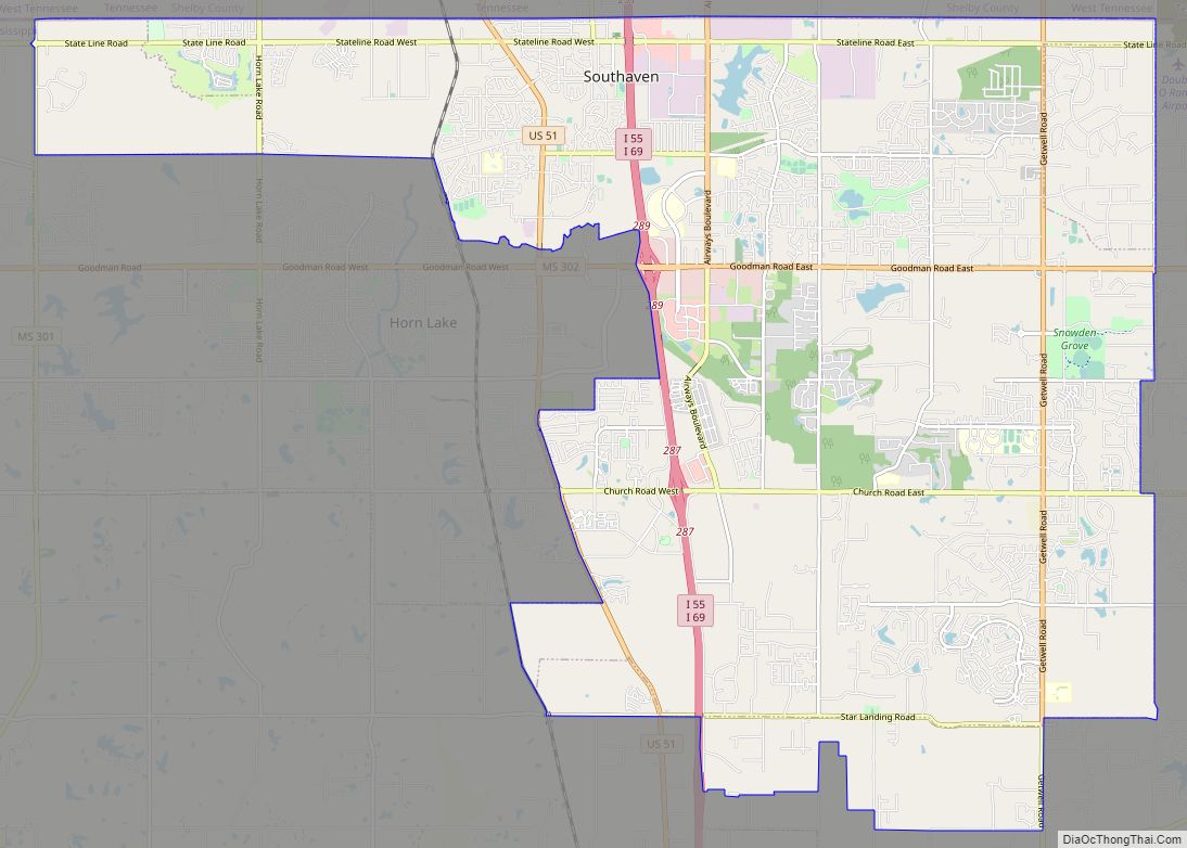
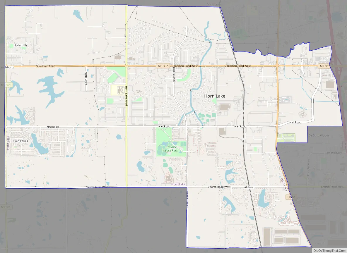
Horn Lake Road Map
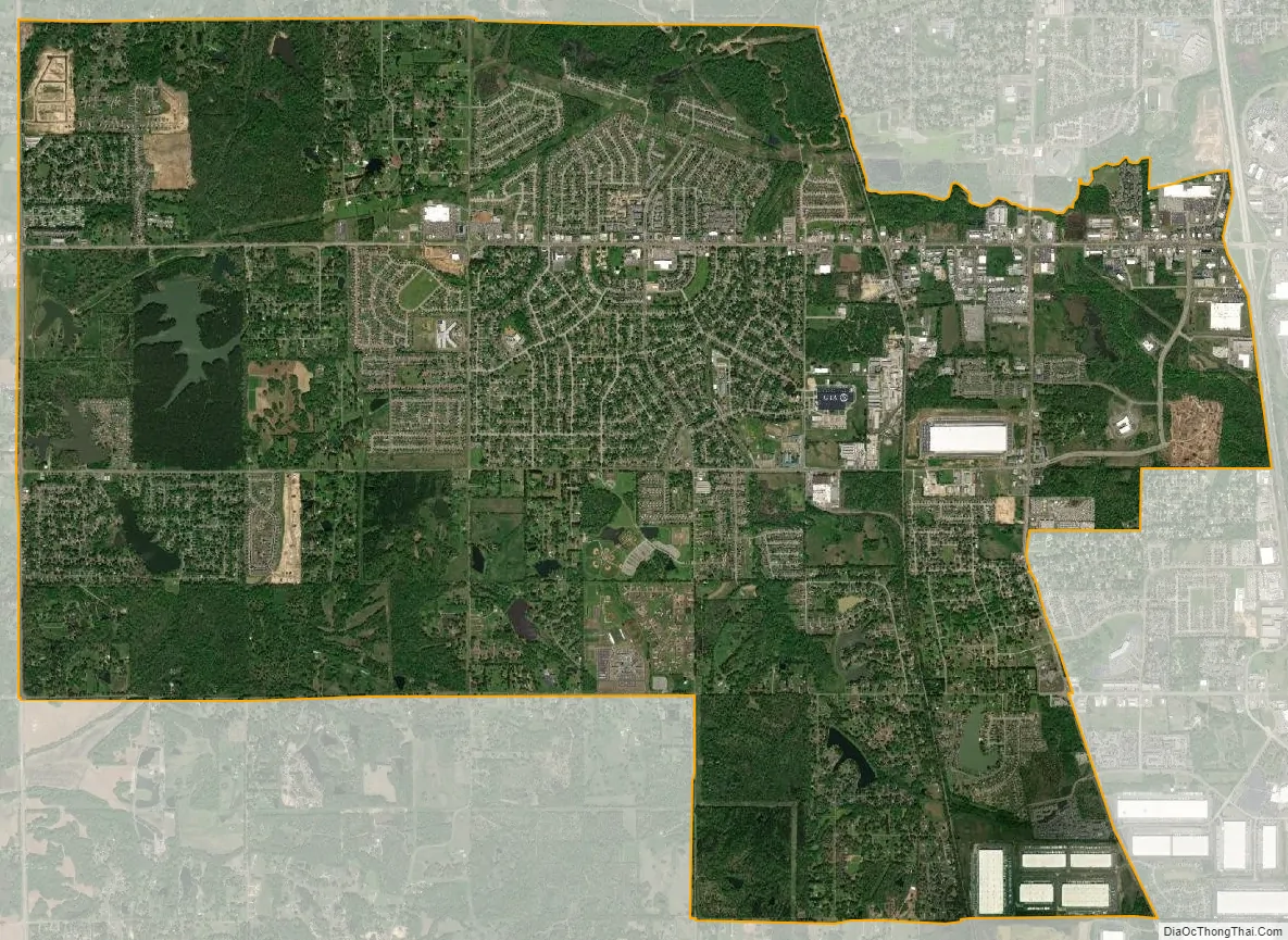
Horn Lake city Satellite Map
Geography
Horn Lake is bordered to the east and southeast by the city of Southaven. U.S Route 51 forms a large portion of Horn Lake’s eastern border; it leads north 15 miles (24 km) to downtown Memphis, and south 9 miles (14 km) to Hernando, the DeSoto County seat. Interstate 55 passes just east of Horn Lake, with access from Exits 287,289 and 901.
According to the United States Census Bureau, the city of Horn Lake has an area of 16.3 square miles (42.3 km), of which 16.0 square miles (41.5 km) is land and 0.3 square miles (0.8 km), or 1.98%, is water.
See also
Map of Mississippi State and its subdivision:- Adams
- Alcorn
- Amite
- Attala
- Benton
- Bolivar
- Calhoun
- Carroll
- Chickasaw
- Choctaw
- Claiborne
- Clarke
- Clay
- Coahoma
- Copiah
- Covington
- Desoto
- Forrest
- Franklin
- George
- Greene
- Grenada
- Hancock
- Harrison
- Hinds
- Holmes
- Humphreys
- Issaquena
- Itawamba
- Jackson
- Jasper
- Jefferson
- Jefferson Davis
- Jones
- Kemper
- Lafayette
- Lamar
- Lauderdale
- Lawrence
- Leake
- Lee
- Leflore
- Lincoln
- Lowndes
- Madison
- Marion
- Marshall
- Monroe
- Montgomery
- Neshoba
- Newton
- Noxubee
- Oktibbeha
- Panola
- Pearl River
- Perry
- Pike
- Pontotoc
- Prentiss
- Quitman
- Rankin
- Scott
- Sharkey
- Simpson
- Smith
- Stone
- Sunflower
- Tallahatchie
- Tate
- Tippah
- Tishomingo
- Tunica
- Union
- Walthall
- Warren
- Washington
- Wayne
- Webster
- Wilkinson
- Winston
- Yalobusha
- Yazoo
- Alabama
- Alaska
- Arizona
- Arkansas
- California
- Colorado
- Connecticut
- Delaware
- District of Columbia
- Florida
- Georgia
- Hawaii
- Idaho
- Illinois
- Indiana
- Iowa
- Kansas
- Kentucky
- Louisiana
- Maine
- Maryland
- Massachusetts
- Michigan
- Minnesota
- Mississippi
- Missouri
- Montana
- Nebraska
- Nevada
- New Hampshire
- New Jersey
- New Mexico
- New York
- North Carolina
- North Dakota
- Ohio
- Oklahoma
- Oregon
- Pennsylvania
- Rhode Island
- South Carolina
- South Dakota
- Tennessee
- Texas
- Utah
- Vermont
- Virginia
- Washington
- West Virginia
- Wisconsin
- Wyoming