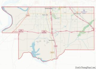
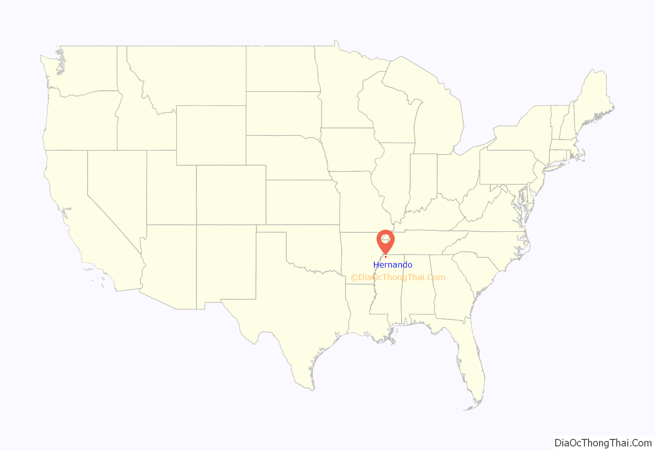
Hernando is a city in, and the county seat of, DeSoto County, which is on the northwestern border of Mississippi, United States. The population was 17,138 according to the 2020 census records. DeSoto County is the second-most-populous county in the Memphis metropolitan area, which includes counties in Tennessee, Arkansas and Mississippi.
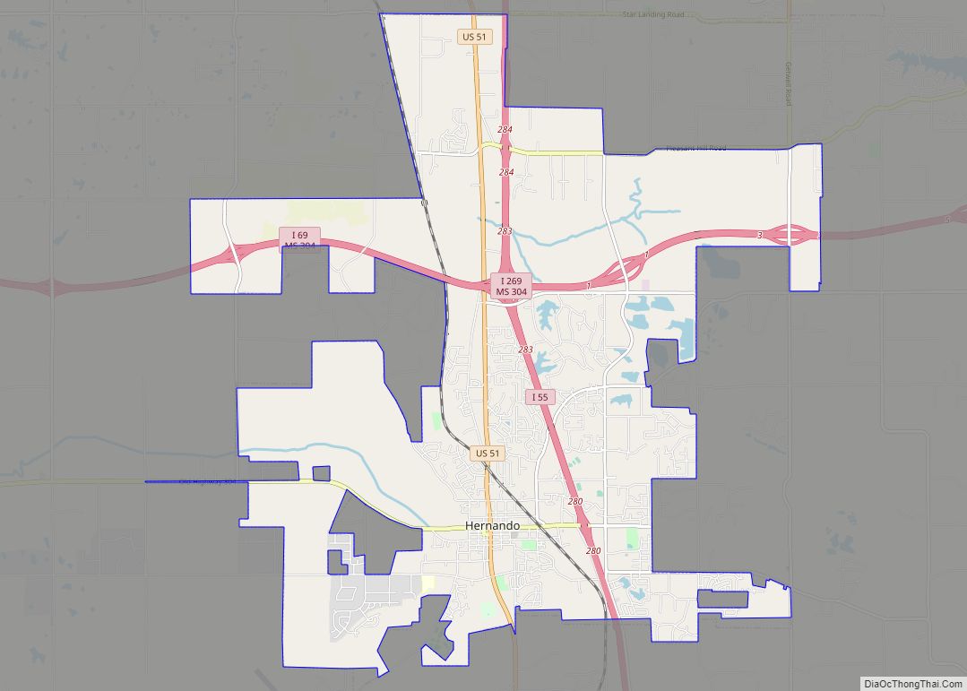
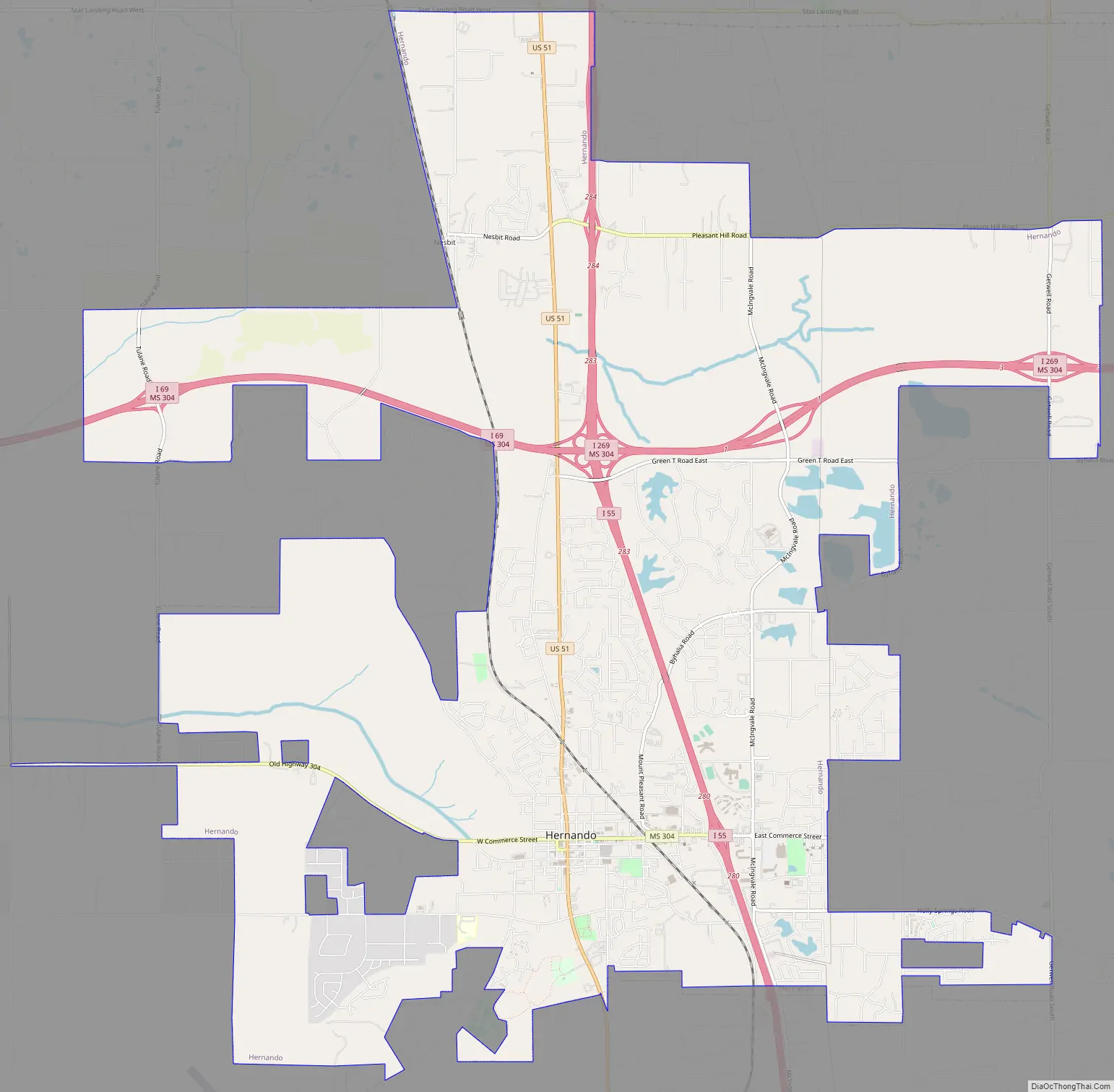
U.S. Route 51 and the I-55 freeway traverse the city from north to south, and the I-69 freeway crosses the city from east to west. The county courthouse is located within Hernando’s historic downtown square. It is located at the intersection of Commerce Street and present-day U.S. 51.
| Name: | Hernando city |
|---|---|
| LSAD Code: | 25 |
| LSAD Description: | city (suffix) |
| State: | Mississippi |
| County: | DeSoto County |
| Elevation: | 381 ft (116 m) |
| Total Area: | 25.39 sq mi (65.76 km²) |
| Land Area: | 25.30 sq mi (65.53 km²) |
| Water Area: | 0.09 sq mi (0.23 km²) |
| Total Population: | 17,138 |
| Population Density: | 677.36/sq mi (261.54/km²) |
| ZIP code: | 38632 |
| Area code: | 662 |
| FIPS code: | 2831780 |
| GNISfeature ID: | 0690292 |
| Website: | www.cityofhernando.org |
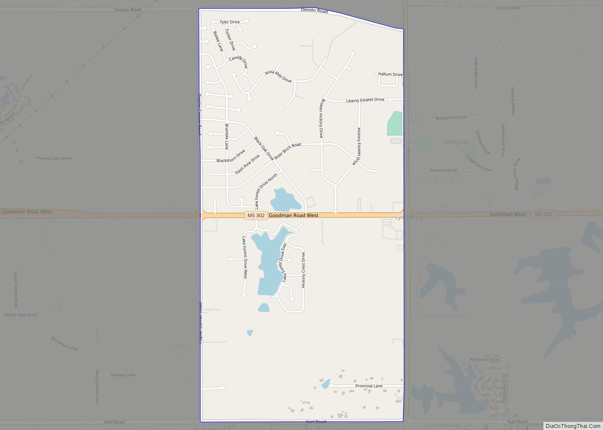
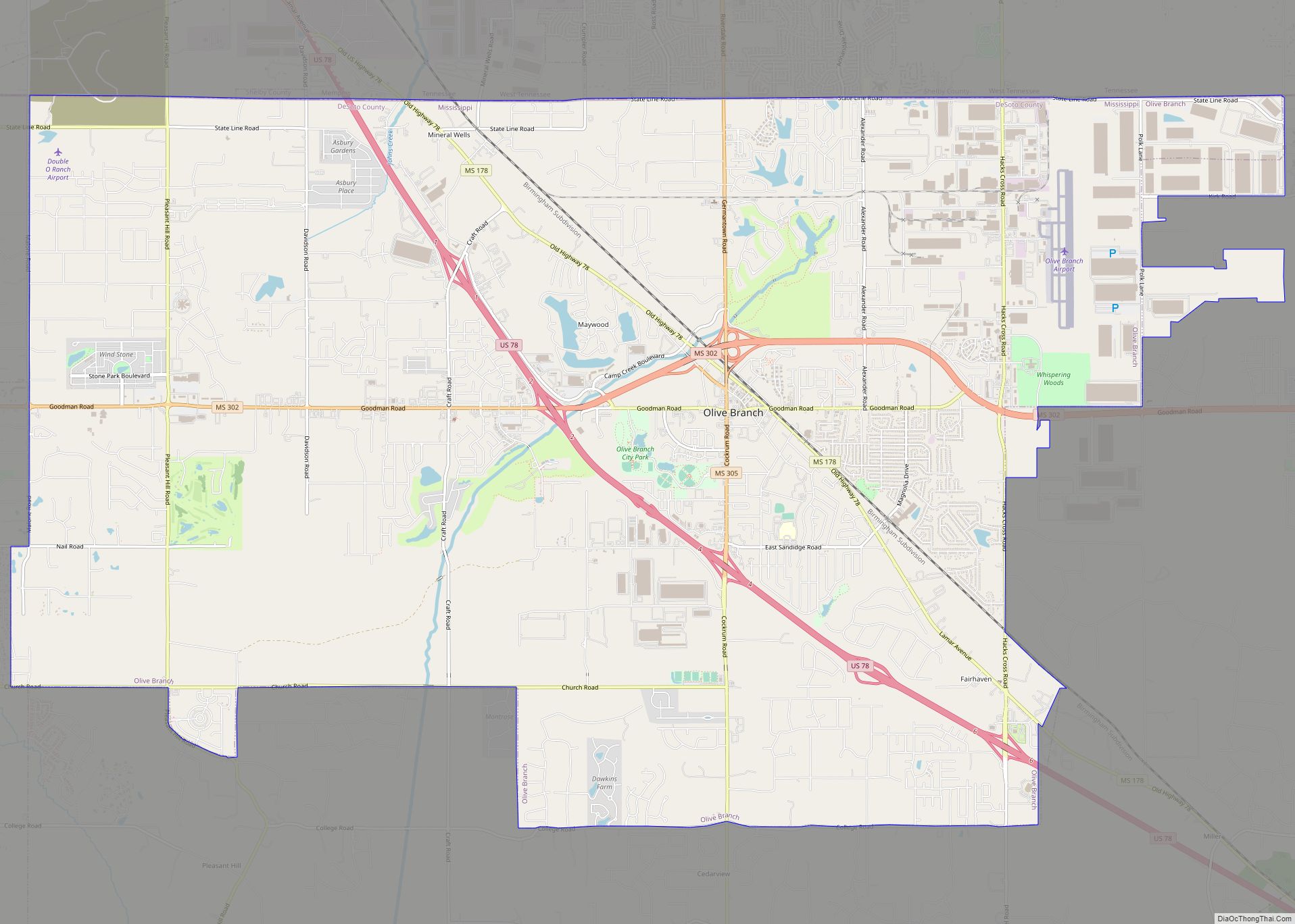
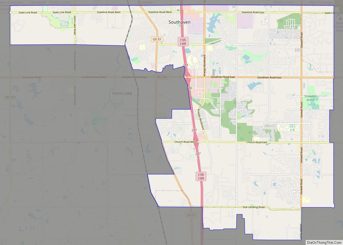
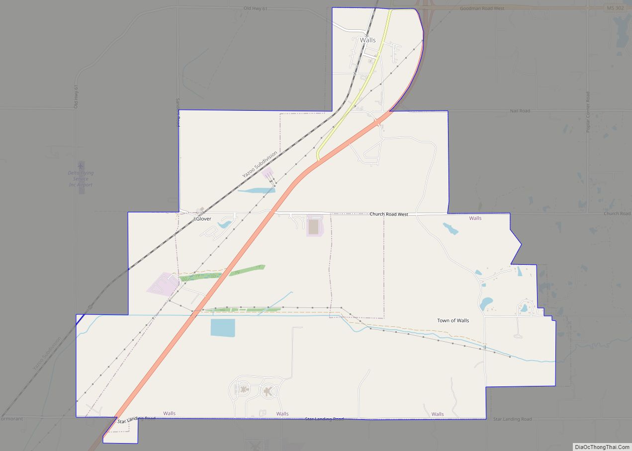
Online Interactive Map
Click on ![]() to view map in "full screen" mode.
to view map in "full screen" mode.
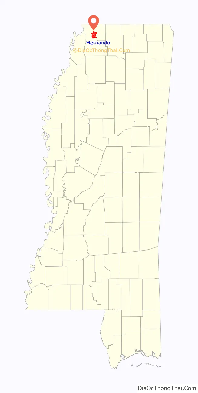
Hernando location map. Where is Hernando city?
History
At the time of encounters by French and Spanish colonists, the Chickasaw people had long inhabited this area. France had developed colonial settlements along the Gulf Coast, to the north on the middle Mississippi River in what was called the Illinois Country, and in New France (present-day Quebec in Canada). An 18th-century French colonial log house (see first photo in gallery below) in Hernando is a reminder of typical dwellings built in their settlements in the Illinois country, such as in Ste. Genevieve, Missouri. The French and French Canadians had a wide trading network with various American Indian tribes along this river, for instance in Natchez.
Following the Indian Removal Act in 1830 and under pressure from the United States, the Chickasaw finally signed a treaty to cede most of their lands in this area to the US. Most of the tribe were removed to west of the Mississippi River in Indian Territory.
This town was first called Jefferson by its new European American settlers. It was renamed as Hernando in 1832, after the Spanish explorer Hernando de Soto. He was the first European to explore the Mississippi River.
During the early 20th century, numerous blues musicians developed in Hernando. African Americans had developed a strong musical tradition in areas along the Mississippi River, where many had grown up in families working as sharecroppers on cotton plantations. During the Great Migration of the first half of the 20th century, many blues musicians migrated north, taking their music to Chicago and helping create the culture of that city.
Hernando Road Map
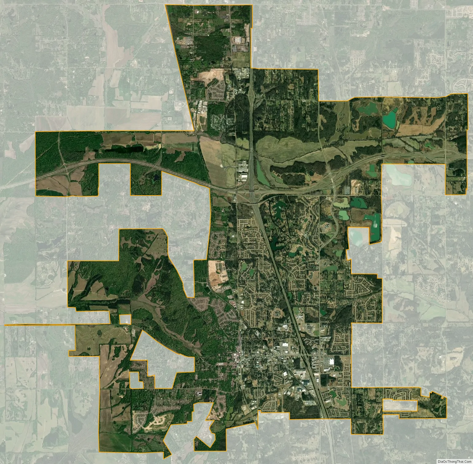
Hernando city Satellite Map
Geography
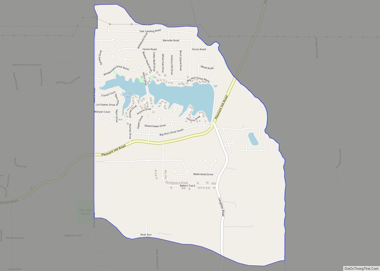
Hernando is in the center of DeSoto County, bordered to the north by the city of Southaven. Via Interstate 55 or US 51, Memphis, Tennessee is 25 miles (40 km) north. It is 15 miles (24 km) via the same road to the south to Senatobia. According to the United States Census Bureau, the city of Hernando has a total area of 25.8 square miles (66.9 km), of which 25.7 square miles (66.6 km) is land, and 0.1 square miles (0.3 km), or 0.39%, is water.
Climate
The climate in this area is characterized by hot, humid summers and generally mild to cool winters. According to the Köppen Climate Classification system, Hernando has a humid subtropical climate, abbreviated “Cfa” on climate maps.
See also
Map of Mississippi State and its subdivision:- Adams
- Alcorn
- Amite
- Attala
- Benton
- Bolivar
- Calhoun
- Carroll
- Chickasaw
- Choctaw
- Claiborne
- Clarke
- Clay
- Coahoma
- Copiah
- Covington
- Desoto
- Forrest
- Franklin
- George
- Greene
- Grenada
- Hancock
- Harrison
- Hinds
- Holmes
- Humphreys
- Issaquena
- Itawamba
- Jackson
- Jasper
- Jefferson
- Jefferson Davis
- Jones
- Kemper
- Lafayette
- Lamar
- Lauderdale
- Lawrence
- Leake
- Lee
- Leflore
- Lincoln
- Lowndes
- Madison
- Marion
- Marshall
- Monroe
- Montgomery
- Neshoba
- Newton
- Noxubee
- Oktibbeha
- Panola
- Pearl River
- Perry
- Pike
- Pontotoc
- Prentiss
- Quitman
- Rankin
- Scott
- Sharkey
- Simpson
- Smith
- Stone
- Sunflower
- Tallahatchie
- Tate
- Tippah
- Tishomingo
- Tunica
- Union
- Walthall
- Warren
- Washington
- Wayne
- Webster
- Wilkinson
- Winston
- Yalobusha
- Yazoo
- Alabama
- Alaska
- Arizona
- Arkansas
- California
- Colorado
- Connecticut
- Delaware
- District of Columbia
- Florida
- Georgia
- Hawaii
- Idaho
- Illinois
- Indiana
- Iowa
- Kansas
- Kentucky
- Louisiana
- Maine
- Maryland
- Massachusetts
- Michigan
- Minnesota
- Mississippi
- Missouri
- Montana
- Nebraska
- Nevada
- New Hampshire
- New Jersey
- New Mexico
- New York
- North Carolina
- North Dakota
- Ohio
- Oklahoma
- Oregon
- Pennsylvania
- Rhode Island
- South Carolina
- South Dakota
- Tennessee
- Texas
- Utah
- Vermont
- Virginia
- Washington
- West Virginia
- Wisconsin
- Wyoming