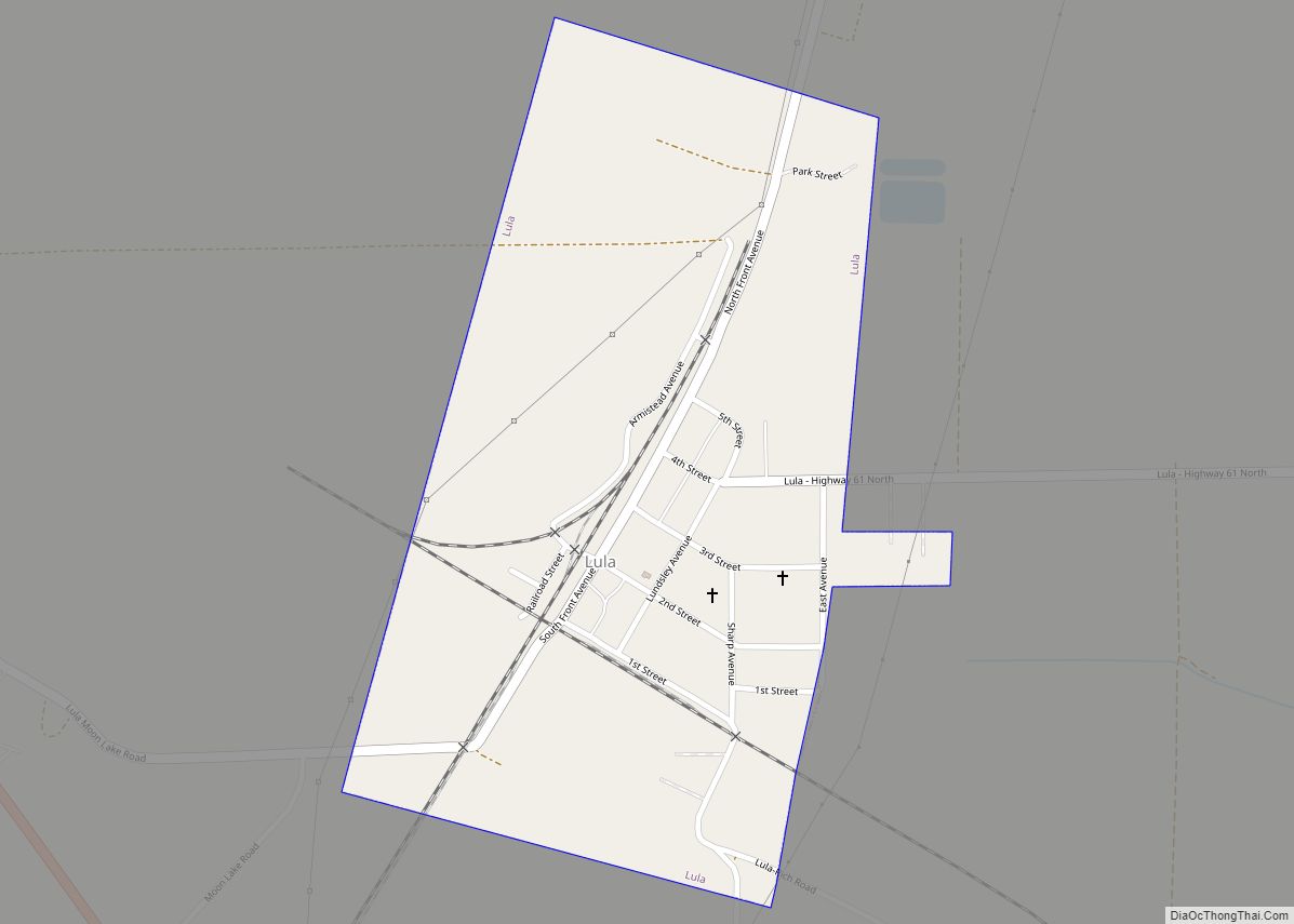
Lula is a town in Coahoma County, Mississippi, United States. Per the 2020 census, the population was 204.
| Name: | Lula town |
|---|---|
| LSAD Code: | 43 |
| LSAD Description: | town (suffix) |
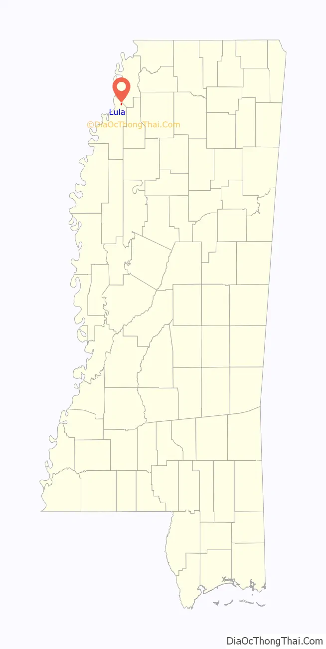
| State: | Mississippi |
| County: | Coahoma County |
| Elevation: | 180 ft (55 m) |
| Total Area: | 0.42 sq mi (1.08 km²) |
| Land Area: | 0.42 sq mi (1.08 km²) |
| Water Area: | 0.00 sq mi (0.00 km²) |
| Total Population: | 204 |
| Population Density: | 489.21/sq mi (188.67/km²) |
| ZIP code: | 38644 |
| Area code: | 662 |
| FIPS code: | 2842600 |
| GNISfeature ID: | 0672952 |
Online Interactive Map
Click on ![]() to view map in "full screen" mode.
to view map in "full screen" mode.
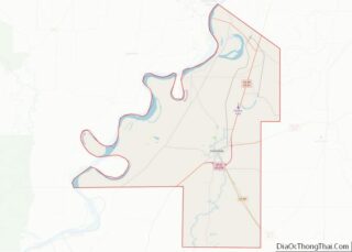
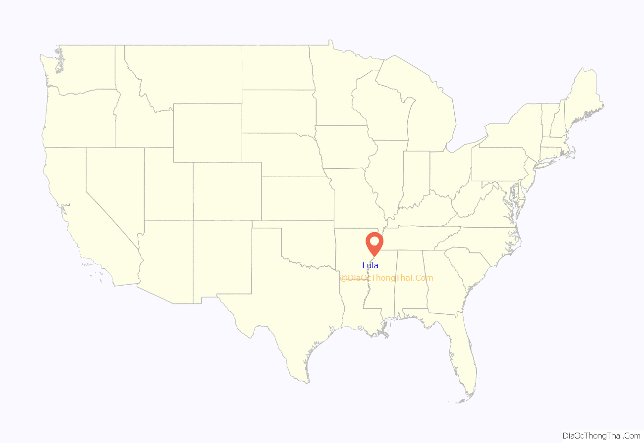
Lula location map. Where is Lula town?
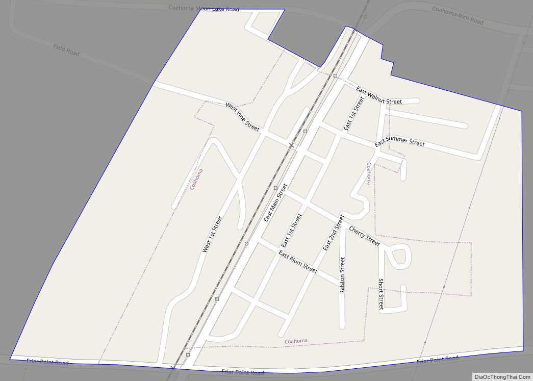
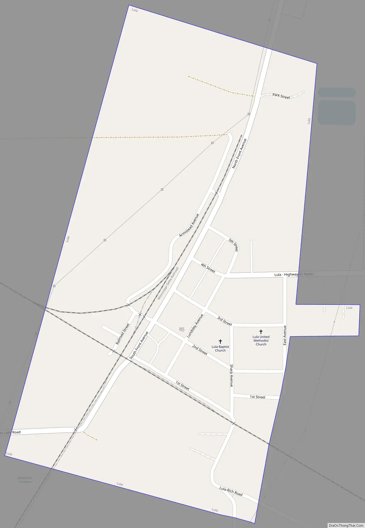
Lula Road Map
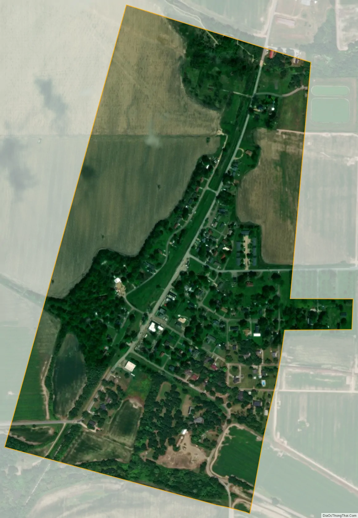
Lula city Satellite Map
Geography
Lula is located near the northern border of Coahoma County. U.S. Route 49 passes southwest of the town, and U.S. Route 61 passes east of the town. US 49 leads northwest 10 miles (16 km) to Helena, Arkansas, while US 61 leads north 18 miles (29 km) to Tunica. Southbound, the two highways join and lead to Clarksdale, the Coahoma county seat, 20 miles (32 km) south of Lula.
According to the United States Census Bureau, the town has a total area of 0.39 square miles (1.0 km), all land.
Tornado
On April 26, 2011, a tornado—part of the 2011 Super Outbreak—traveled from Elaine, Arkansas, to Lula. The tornado was rated EF0, with estimated wind speeds of 75 mph (121 km/h; 65 kn). The tornado’s path of destruction was 200 yards (180 m) wide and the tornado travelled a path of 21.5 miles (34.6 km) along Highway 61. The tornado ripped the roof off a church near Lula.
See also
Map of Mississippi State and its subdivision:- Adams
- Alcorn
- Amite
- Attala
- Benton
- Bolivar
- Calhoun
- Carroll
- Chickasaw
- Choctaw
- Claiborne
- Clarke
- Clay
- Coahoma
- Copiah
- Covington
- Desoto
- Forrest
- Franklin
- George
- Greene
- Grenada
- Hancock
- Harrison
- Hinds
- Holmes
- Humphreys
- Issaquena
- Itawamba
- Jackson
- Jasper
- Jefferson
- Jefferson Davis
- Jones
- Kemper
- Lafayette
- Lamar
- Lauderdale
- Lawrence
- Leake
- Lee
- Leflore
- Lincoln
- Lowndes
- Madison
- Marion
- Marshall
- Monroe
- Montgomery
- Neshoba
- Newton
- Noxubee
- Oktibbeha
- Panola
- Pearl River
- Perry
- Pike
- Pontotoc
- Prentiss
- Quitman
- Rankin
- Scott
- Sharkey
- Simpson
- Smith
- Stone
- Sunflower
- Tallahatchie
- Tate
- Tippah
- Tishomingo
- Tunica
- Union
- Walthall
- Warren
- Washington
- Wayne
- Webster
- Wilkinson
- Winston
- Yalobusha
- Yazoo
- Alabama
- Alaska
- Arizona
- Arkansas
- California
- Colorado
- Connecticut
- Delaware
- District of Columbia
- Florida
- Georgia
- Hawaii
- Idaho
- Illinois
- Indiana
- Iowa
- Kansas
- Kentucky
- Louisiana
- Maine
- Maryland
- Massachusetts
- Michigan
- Minnesota
- Mississippi
- Missouri
- Montana
- Nebraska
- Nevada
- New Hampshire
- New Jersey
- New Mexico
- New York
- North Carolina
- North Dakota
- Ohio
- Oklahoma
- Oregon
- Pennsylvania
- Rhode Island
- South Carolina
- South Dakota
- Tennessee
- Texas
- Utah
- Vermont
- Virginia
- Washington
- West Virginia
- Wisconsin
- Wyoming