Maben is a town in Oktibbeha and Webster counties, Mississippi. The population was 871 at the 2010 census.
Pioneer aviator Charles Lindbergh spent two weeks in Maben making repairs to his Jenny airplane and taking locals up for rides at five dollars each during May 1923.
Reference: “We” by Charles Lindbergh, G.P. Putnam’s and Sons, 1927, pp. 53–62
| Name: | Maben town |
|---|---|
| LSAD Code: | 43 |
| LSAD Description: | town (suffix) |
| State: | Mississippi |
| County: | Oktibbeha County, Webster County |
| Elevation: | 449 ft (137 m) |
| Total Area: | 1.95 sq mi (5.05 km²) |
| Land Area: | 1.94 sq mi (5.03 km²) |
| Water Area: | 0.01 sq mi (0.02 km²) |
| Total Population: | 771 |
| Population Density: | 397.22/sq mi (153.39/km²) |
| ZIP code: | 39750 |
| Area code: | 662 |
| FIPS code: | 2842980 |
| GNISfeature ID: | 0672979 |
Online Interactive Map
Click on ![]() to view map in "full screen" mode.
to view map in "full screen" mode.
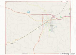
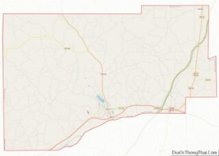
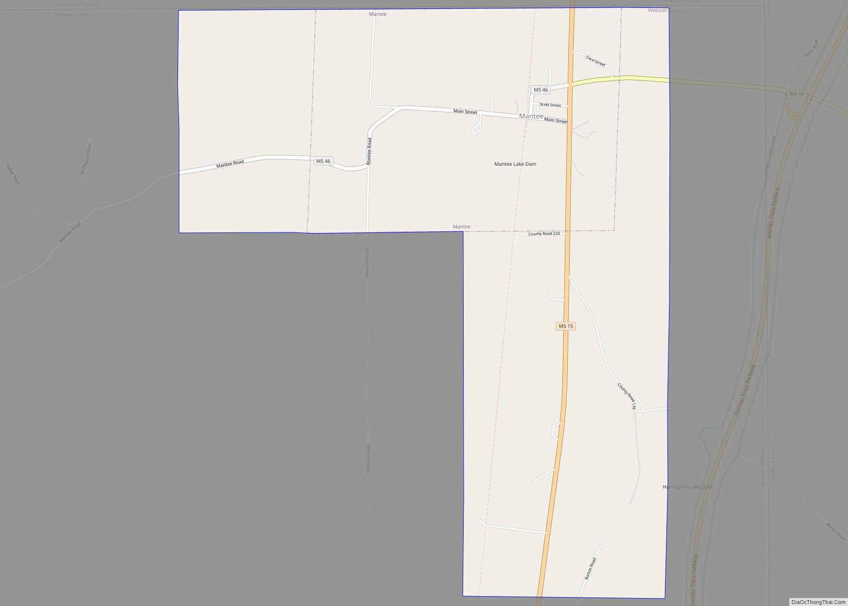
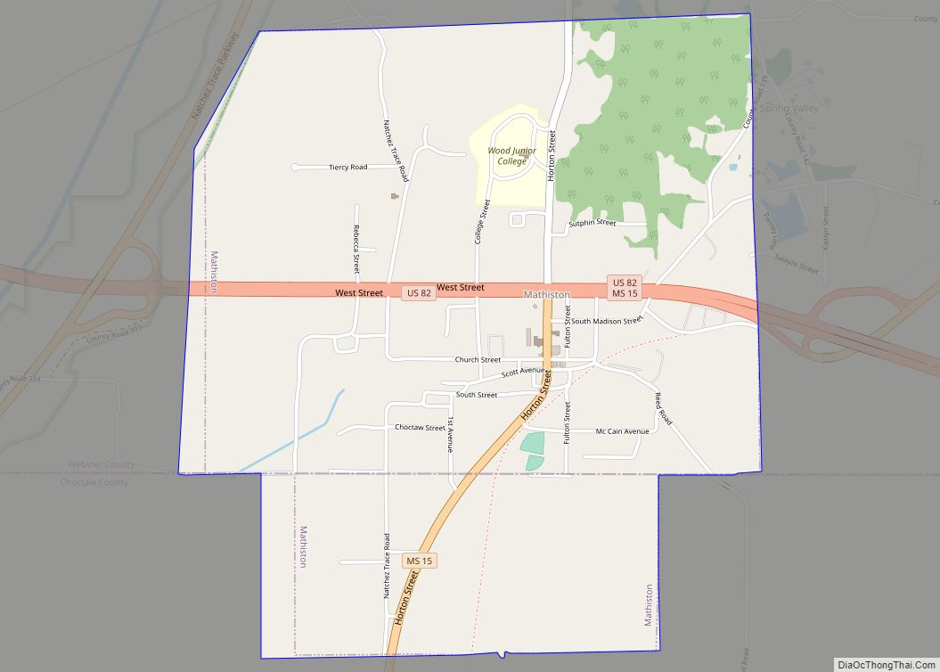
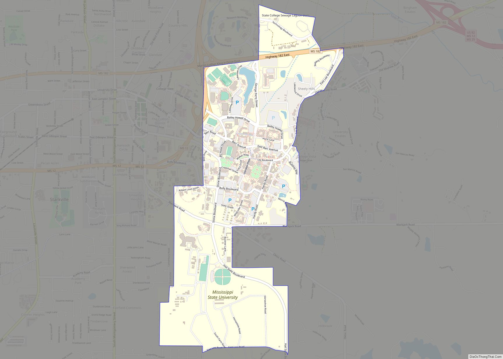
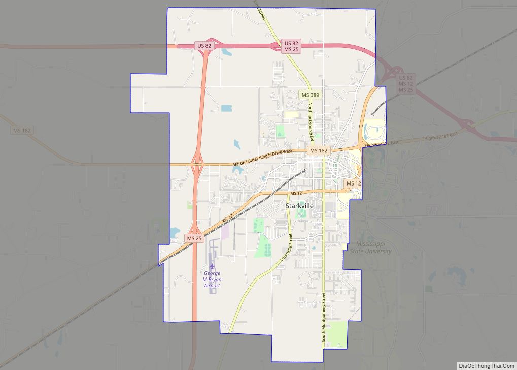
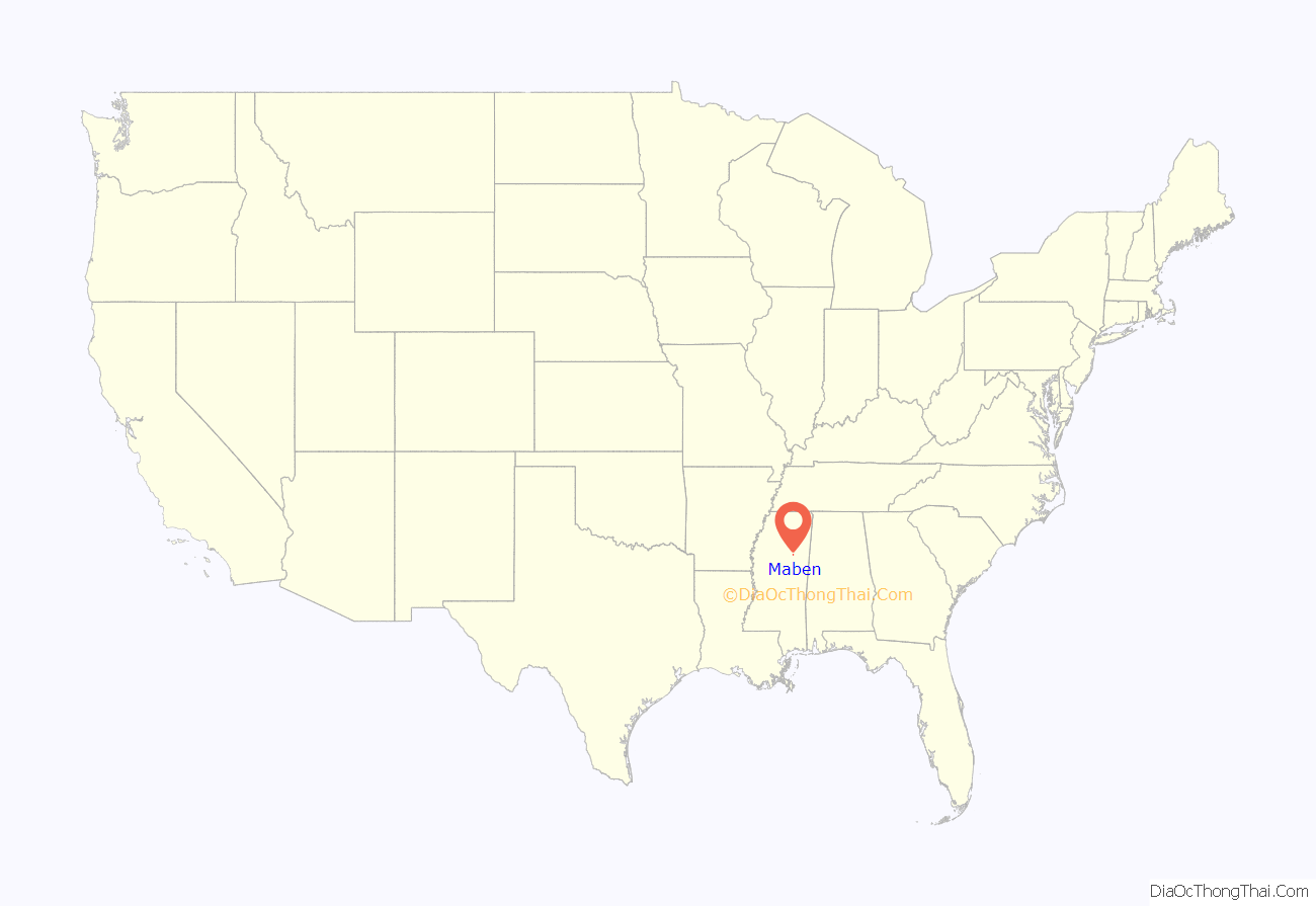
Maben location map. Where is Maben town?
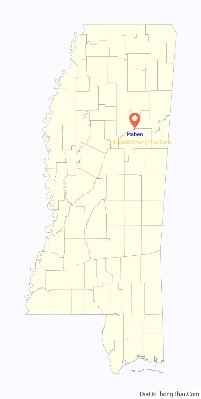
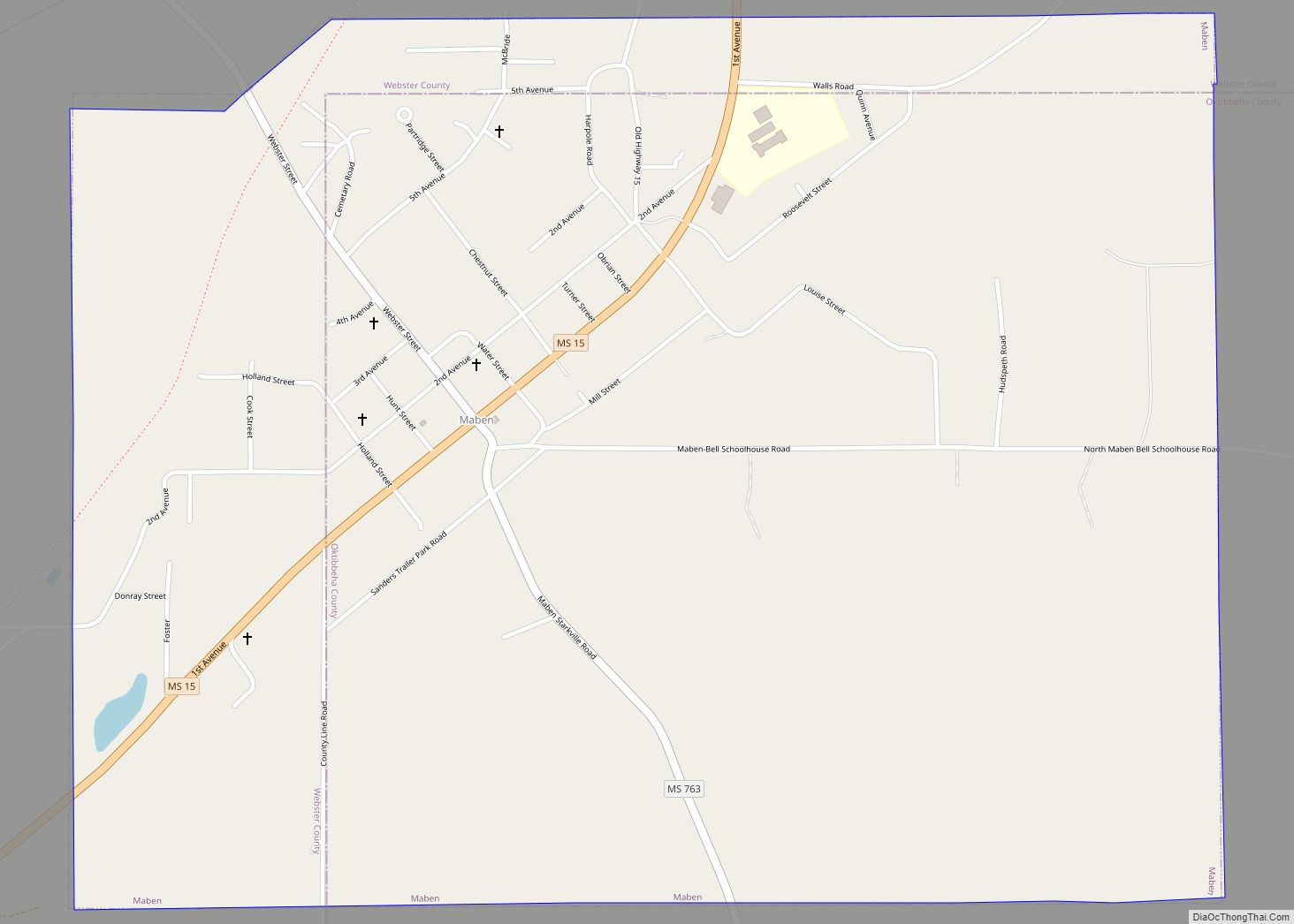
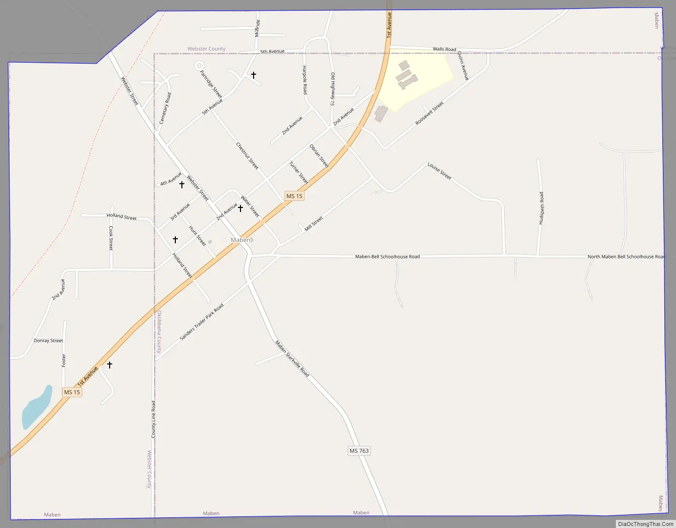
Maben Road Map
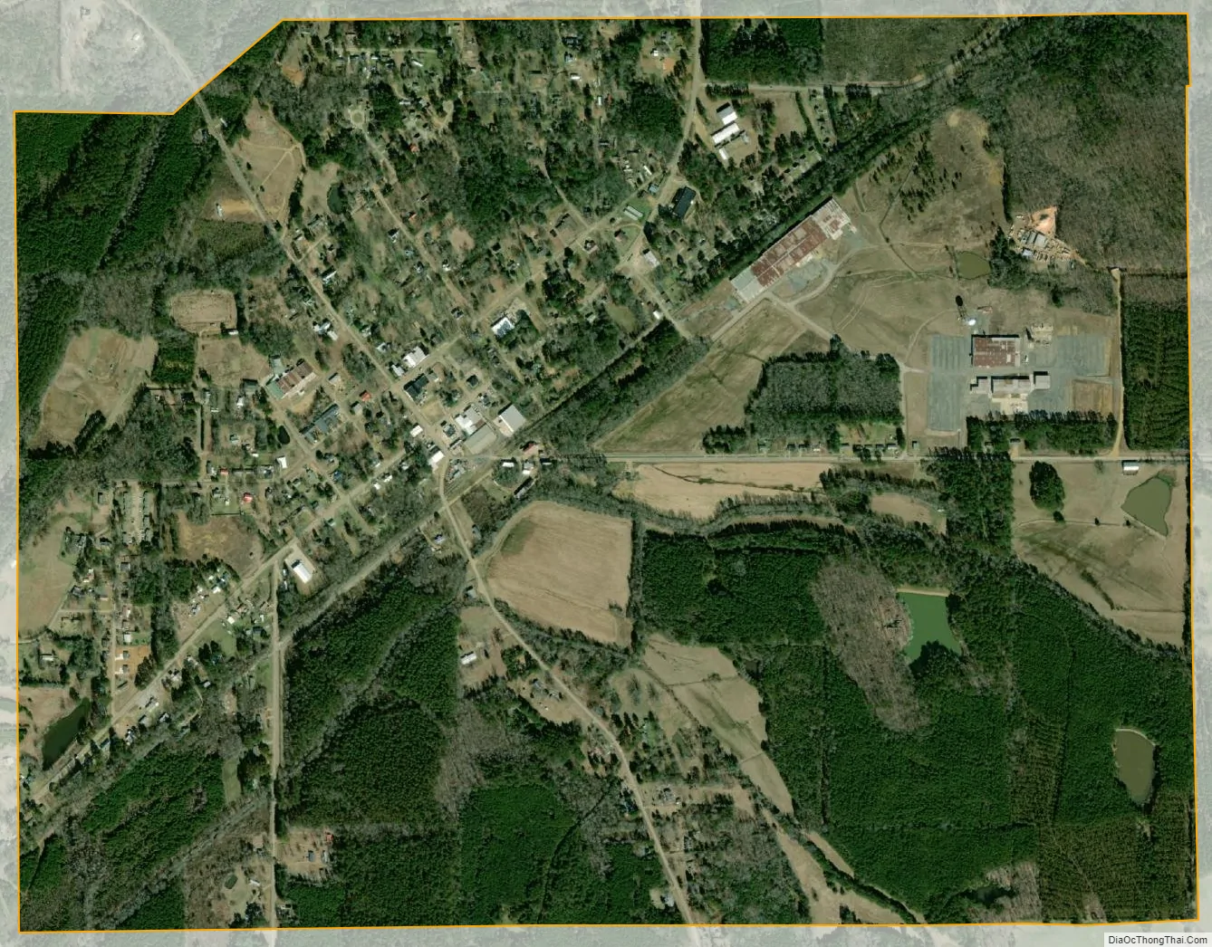
Maben city Satellite Map
Geography
Maben is located at 33°33′24″N 89°05′01″W / 33.556772°N 89.083647°W / 33.556772; -89.083647 (33.556772, -89.083647). Most of the town is in Oktibbeha County, with a portion on the west side in adjacent Webster County In the 2000 census, 542 of the town’s 803 residents (67.5%) lived in Oktibbeha County and 261 (32.5%) in Webster County.
According to the United States Census Bureau, the town has a total area of 2.0 square miles (5.1 km), all land.
See also
Map of Mississippi State and its subdivision:- Adams
- Alcorn
- Amite
- Attala
- Benton
- Bolivar
- Calhoun
- Carroll
- Chickasaw
- Choctaw
- Claiborne
- Clarke
- Clay
- Coahoma
- Copiah
- Covington
- Desoto
- Forrest
- Franklin
- George
- Greene
- Grenada
- Hancock
- Harrison
- Hinds
- Holmes
- Humphreys
- Issaquena
- Itawamba
- Jackson
- Jasper
- Jefferson
- Jefferson Davis
- Jones
- Kemper
- Lafayette
- Lamar
- Lauderdale
- Lawrence
- Leake
- Lee
- Leflore
- Lincoln
- Lowndes
- Madison
- Marion
- Marshall
- Monroe
- Montgomery
- Neshoba
- Newton
- Noxubee
- Oktibbeha
- Panola
- Pearl River
- Perry
- Pike
- Pontotoc
- Prentiss
- Quitman
- Rankin
- Scott
- Sharkey
- Simpson
- Smith
- Stone
- Sunflower
- Tallahatchie
- Tate
- Tippah
- Tishomingo
- Tunica
- Union
- Walthall
- Warren
- Washington
- Wayne
- Webster
- Wilkinson
- Winston
- Yalobusha
- Yazoo
- Alabama
- Alaska
- Arizona
- Arkansas
- California
- Colorado
- Connecticut
- Delaware
- District of Columbia
- Florida
- Georgia
- Hawaii
- Idaho
- Illinois
- Indiana
- Iowa
- Kansas
- Kentucky
- Louisiana
- Maine
- Maryland
- Massachusetts
- Michigan
- Minnesota
- Mississippi
- Missouri
- Montana
- Nebraska
- Nevada
- New Hampshire
- New Jersey
- New Mexico
- New York
- North Carolina
- North Dakota
- Ohio
- Oklahoma
- Oregon
- Pennsylvania
- Rhode Island
- South Carolina
- South Dakota
- Tennessee
- Texas
- Utah
- Vermont
- Virginia
- Washington
- West Virginia
- Wisconsin
- Wyoming