New Houlka (/ˈhʌlkə/), also referred to simply as Houlka, is a town in Chickasaw County, Mississippi, United States. It was founded in 1904 to take advantage of a railway line of the Gulf and Ship Island Railroad. Residents moved their buildings over from the original settlement, now referred to as “Old Houlka”, located to the west. The population was 626 at the 2010 census.
Started around a fur trading post prior to 1794, Old Houlka is the oldest surviving settlement in north Mississippi. In the 19th century, much of the land was developed for cotton plantations and the market town did good business.
| Name: | New Houlka town |
|---|---|
| LSAD Code: | 43 |
| LSAD Description: | town (suffix) |
| State: | Mississippi |
| County: | Chickasaw County |
| Total Area: | 1.23 sq mi (3.18 km²) |
| Land Area: | 1.23 sq mi (3.18 km²) |
| Water Area: | 0.00 sq mi (0.00 km²) |
| Total Population: | 698 |
| Population Density: | 568.40/sq mi (219.50/km²) |
| ZIP code: | 38850 |
| Area code: | 662 |
| FIPS code: | 2851420 |
| GNISfeature ID: | 671516 |
Online Interactive Map
Click on ![]() to view map in "full screen" mode.
to view map in "full screen" mode.
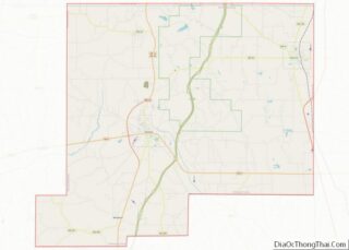
New Houlka location map. Where is New Houlka town?
History
This area was a well-established center of Chickasaw culture by the 1500s.
Settlers arrived in the late 1700s and established a Chickasaw Agency House at Houlka for trading with the natives. Agency representatives called the settlement “Holkey” in their earliest correspondence, which dates from 1794 after the United States gained independence from Great Britain.
Houlka was located at the crossroads of the ancient Native American pathways known as the Natchez Trace and the Gaines Trace.
In 1805, Silas Dinsmoor hosted a ball at the Agency House. Attending were future U.S. Representative John McKee and former U.S. Vice-President Aaron Burr. A post office was established in 1826. The cultivation and processing of cotton became the basis of the economy, and African slaves were brought to the region through the domestic slave trade to serve as laborers. The production of cotton brought some wealth to white planters.
During the Civil War, Confederate forces led by General Samuel J. Gholson clashed with Federal troops at a swamp-crossing near Houlka.
Houlka was incorporated in 1884. Houlka High School was founded in 1890 “to establish a permanent and high grade institution for the education of white students of both sexes”. The Legislature also prohibited sales of “intoxicating liquors” within 4 mi (6.4 km) of the school. That year the Mississippi legislature, dominated by white Democrats, passed a new constitution that effectively disenfranchised most blacks, a status that the state maintained well into the 1960s to exclude them from the state’s political system.
In 1904, the Gulf and Ship Island Railroad built a line from New Albany to Pontotoc, passing 1 mi (1.6 km) east of Houlka. Soon after, residents began moving to “New Houlka”, located near the railway line, which had become critical to commerce. Buildings were rolled on logs from Old Houlka to New Houlka, and pulled by teams of oxen.
By 1906, New Houlka had a bank, three churches, a saw mill, an academy, a plow factory, and a population of about 500. The town was incorporated that same year.
During the mid to late 20th century, railroads restructured and closed many lines, even for freight, because of competition from trucking. In 2004, the railway running through New Houlka, by then owned by the Mississippi Tennessee Railroad, was abandoned between New Albany and Houston, a distance of 43.2 mi (69.5 km). Under the federal ‘Rails to Trails’ program overseen by the ICC, the track was removed and a rail trail called the “Tanglefoot Trail” was built on the right-of-way, creating a new recreational and public health resource.
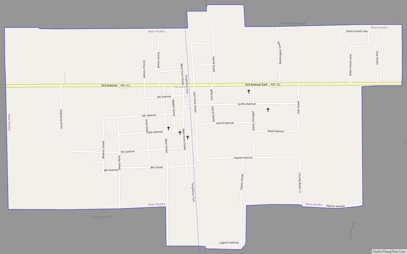
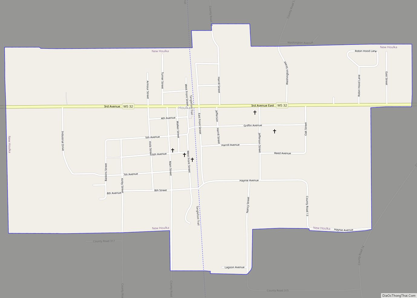
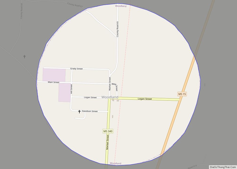
New Houlka Road Map
New Houlka city Satellite Map
Geography
According to the United States Census Bureau, the town has a total area of 1.2 square miles (3.2 km), all land.
See also
Map of Mississippi State and its subdivision:- Adams
- Alcorn
- Amite
- Attala
- Benton
- Bolivar
- Calhoun
- Carroll
- Chickasaw
- Choctaw
- Claiborne
- Clarke
- Clay
- Coahoma
- Copiah
- Covington
- Desoto
- Forrest
- Franklin
- George
- Greene
- Grenada
- Hancock
- Harrison
- Hinds
- Holmes
- Humphreys
- Issaquena
- Itawamba
- Jackson
- Jasper
- Jefferson
- Jefferson Davis
- Jones
- Kemper
- Lafayette
- Lamar
- Lauderdale
- Lawrence
- Leake
- Lee
- Leflore
- Lincoln
- Lowndes
- Madison
- Marion
- Marshall
- Monroe
- Montgomery
- Neshoba
- Newton
- Noxubee
- Oktibbeha
- Panola
- Pearl River
- Perry
- Pike
- Pontotoc
- Prentiss
- Quitman
- Rankin
- Scott
- Sharkey
- Simpson
- Smith
- Stone
- Sunflower
- Tallahatchie
- Tate
- Tippah
- Tishomingo
- Tunica
- Union
- Walthall
- Warren
- Washington
- Wayne
- Webster
- Wilkinson
- Winston
- Yalobusha
- Yazoo
- Alabama
- Alaska
- Arizona
- Arkansas
- California
- Colorado
- Connecticut
- Delaware
- District of Columbia
- Florida
- Georgia
- Hawaii
- Idaho
- Illinois
- Indiana
- Iowa
- Kansas
- Kentucky
- Louisiana
- Maine
- Maryland
- Massachusetts
- Michigan
- Minnesota
- Mississippi
- Missouri
- Montana
- Nebraska
- Nevada
- New Hampshire
- New Jersey
- New Mexico
- New York
- North Carolina
- North Dakota
- Ohio
- Oklahoma
- Oregon
- Pennsylvania
- Rhode Island
- South Carolina
- South Dakota
- Tennessee
- Texas
- Utah
- Vermont
- Virginia
- Washington
- West Virginia
- Wisconsin
- Wyoming


