Pachuta is a town in Clarke County, Mississippi, United States. The population was 261 at the 2010 census.
| Name: | Pachuta town |
|---|---|
| LSAD Code: | 43 |
| LSAD Description: | town (suffix) |
| State: | Mississippi |
| County: | Clarke County |
| Elevation: | 282 ft (86 m) |
| Total Area: | 2.44 sq mi (6.32 km²) |
| Land Area: | 2.44 sq mi (6.32 km²) |
| Water Area: | 0.00 sq mi (0.00 km²) |
| Total Population: | 207 |
| Population Density: | 84.87/sq mi (32.77/km²) |
| ZIP code: | 39347 |
| Area code: | 601 |
| FIPS code: | 2854960 |
| GNISfeature ID: | 0675371 |
Online Interactive Map
Click on ![]() to view map in "full screen" mode.
to view map in "full screen" mode.
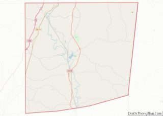
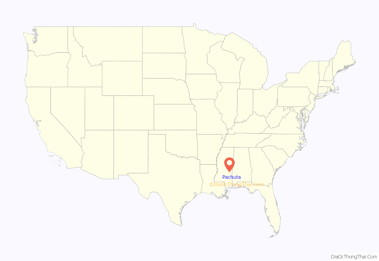
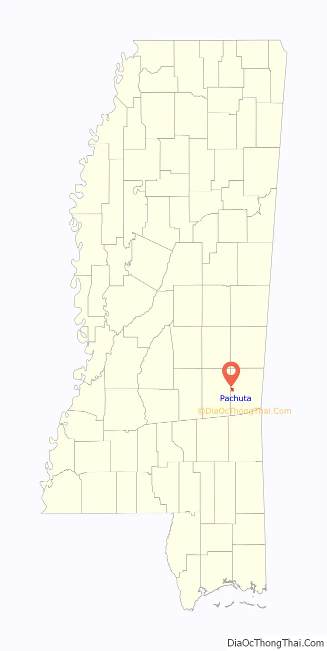
Pachuta location map. Where is Pachuta town?
History
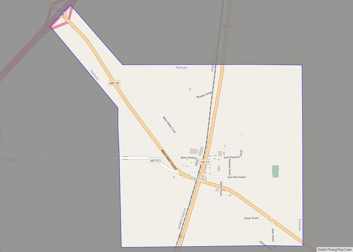
Pachuta was founded in the 1880s, and named after Pachuta Creek.
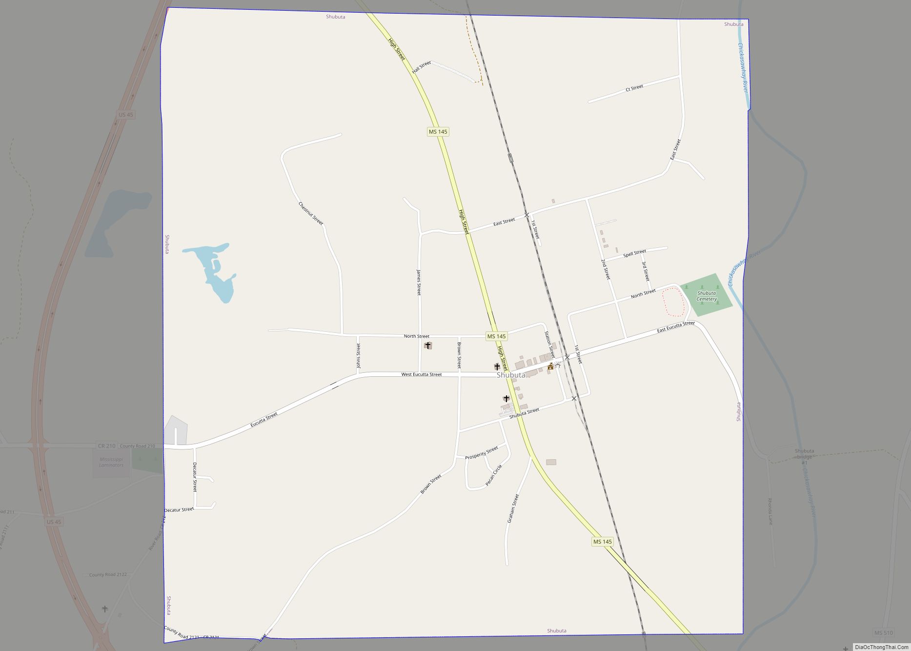
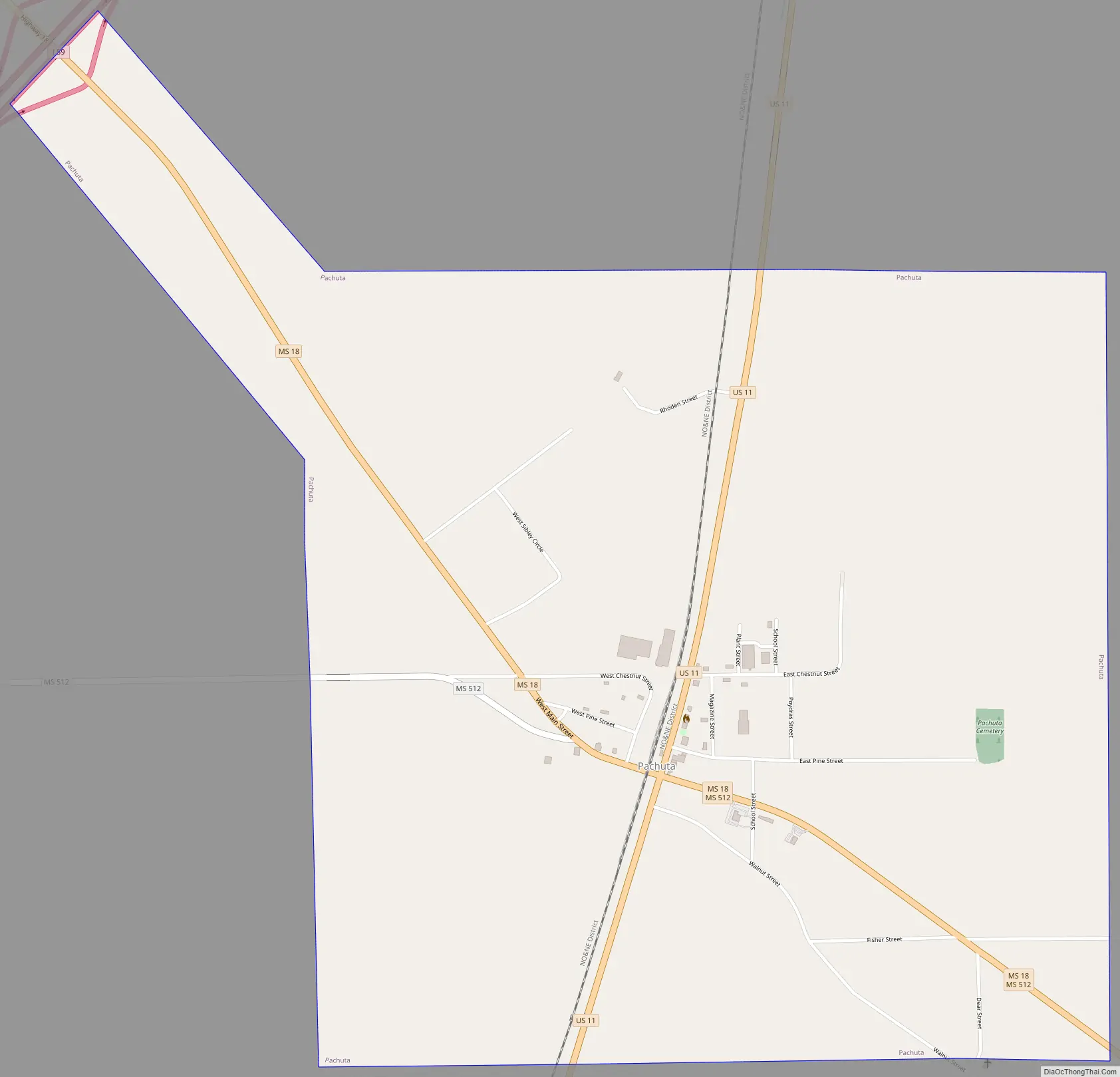
Pachuta Road Map
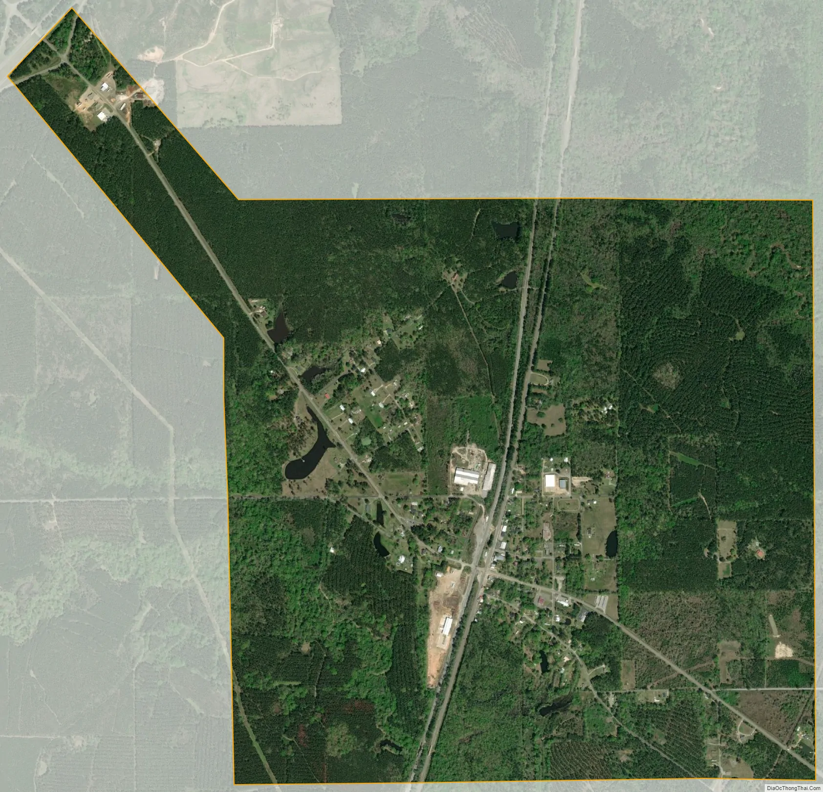
Pachuta city Satellite Map
Geography
Pachuta is located in western Clarke County at 32°2′28″N 88°53′1″W / 32.04111°N 88.88361°W / 32.04111; -88.88361 (32.041081, -88.883636). U.S. Route 11 passes through the center of town, leading north 27 miles (43 km) to Meridian and south 29 miles (47 km) to Laurel. Mississippi Highway 18 crosses US 11 at the town center, leading east 13 miles (21 km) to Quitman, the county seat (taking Highway 512 cuts the distance to 10 mi or 16 km), and west 31 miles (50 km) to Bay Springs. Exit 126 of Interstate 59 is 2 miles (3 km) northwest of town on Highway 18.
According to the United States Census Bureau, the town has a total area of 2.4 square miles (6.3 km), all land.
See also
Map of Mississippi State and its subdivision:- Adams
- Alcorn
- Amite
- Attala
- Benton
- Bolivar
- Calhoun
- Carroll
- Chickasaw
- Choctaw
- Claiborne
- Clarke
- Clay
- Coahoma
- Copiah
- Covington
- Desoto
- Forrest
- Franklin
- George
- Greene
- Grenada
- Hancock
- Harrison
- Hinds
- Holmes
- Humphreys
- Issaquena
- Itawamba
- Jackson
- Jasper
- Jefferson
- Jefferson Davis
- Jones
- Kemper
- Lafayette
- Lamar
- Lauderdale
- Lawrence
- Leake
- Lee
- Leflore
- Lincoln
- Lowndes
- Madison
- Marion
- Marshall
- Monroe
- Montgomery
- Neshoba
- Newton
- Noxubee
- Oktibbeha
- Panola
- Pearl River
- Perry
- Pike
- Pontotoc
- Prentiss
- Quitman
- Rankin
- Scott
- Sharkey
- Simpson
- Smith
- Stone
- Sunflower
- Tallahatchie
- Tate
- Tippah
- Tishomingo
- Tunica
- Union
- Walthall
- Warren
- Washington
- Wayne
- Webster
- Wilkinson
- Winston
- Yalobusha
- Yazoo
- Alabama
- Alaska
- Arizona
- Arkansas
- California
- Colorado
- Connecticut
- Delaware
- District of Columbia
- Florida
- Georgia
- Hawaii
- Idaho
- Illinois
- Indiana
- Iowa
- Kansas
- Kentucky
- Louisiana
- Maine
- Maryland
- Massachusetts
- Michigan
- Minnesota
- Mississippi
- Missouri
- Montana
- Nebraska
- Nevada
- New Hampshire
- New Jersey
- New Mexico
- New York
- North Carolina
- North Dakota
- Ohio
- Oklahoma
- Oregon
- Pennsylvania
- Rhode Island
- South Carolina
- South Dakota
- Tennessee
- Texas
- Utah
- Vermont
- Virginia
- Washington
- West Virginia
- Wisconsin
- Wyoming