Pelahatchie is a town in Rankin County, Mississippi, United States. The town’s population was 1,334 at the 2010 census. It is part of the Jackson, Mississippi Metropolitan Statistical Area. Its zip code is 39145.
| Name: | Pelahatchie town |
|---|---|
| LSAD Code: | 43 |
| LSAD Description: | town (suffix) |
| State: | Mississippi |
| County: | Rankin County |
| Elevation: | 358 ft (109 m) |
| Total Area: | 6.08 sq mi (15.74 km²) |
| Land Area: | 5.94 sq mi (15.39 km²) |
| Water Area: | 0.14 sq mi (0.35 km²) |
| Total Population: | 1,272 |
| Population Density: | 214.11/sq mi (82.67/km²) |
| ZIP code: | 39145 |
| Area code: | 601 & 769 |
| FIPS code: | 2856200 |
| GNISfeature ID: | 0675578 |
| Website: | pelahatchie.org |
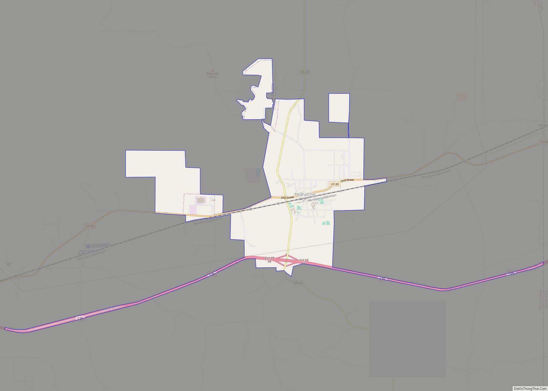
Online Interactive Map
Click on ![]() to view map in "full screen" mode.
to view map in "full screen" mode.
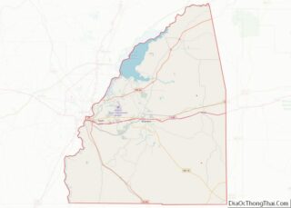
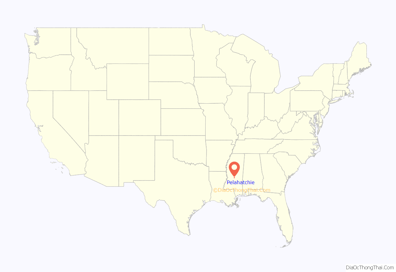
Pelahatchie location map. Where is Pelahatchie town?
History
Pelahatchie was founded in 1850, and named after Pelahatchie Creek. The name Pelahatchie is derived from the Native American term meaning “crooked creek”. The town was the bright spot in the county during the late 1800s mainly due to the railroad access in the heart of town. Pelahatchie is home to both a public school, Pelahatchie Attendance Center (Chiefs), and a private school, East Rankin Academy (Patriots).
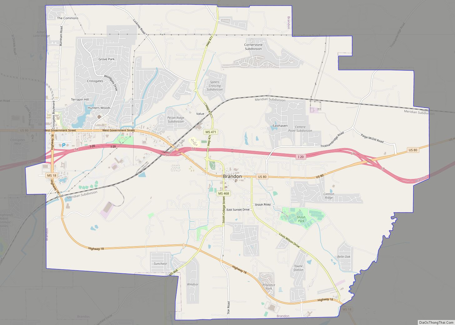
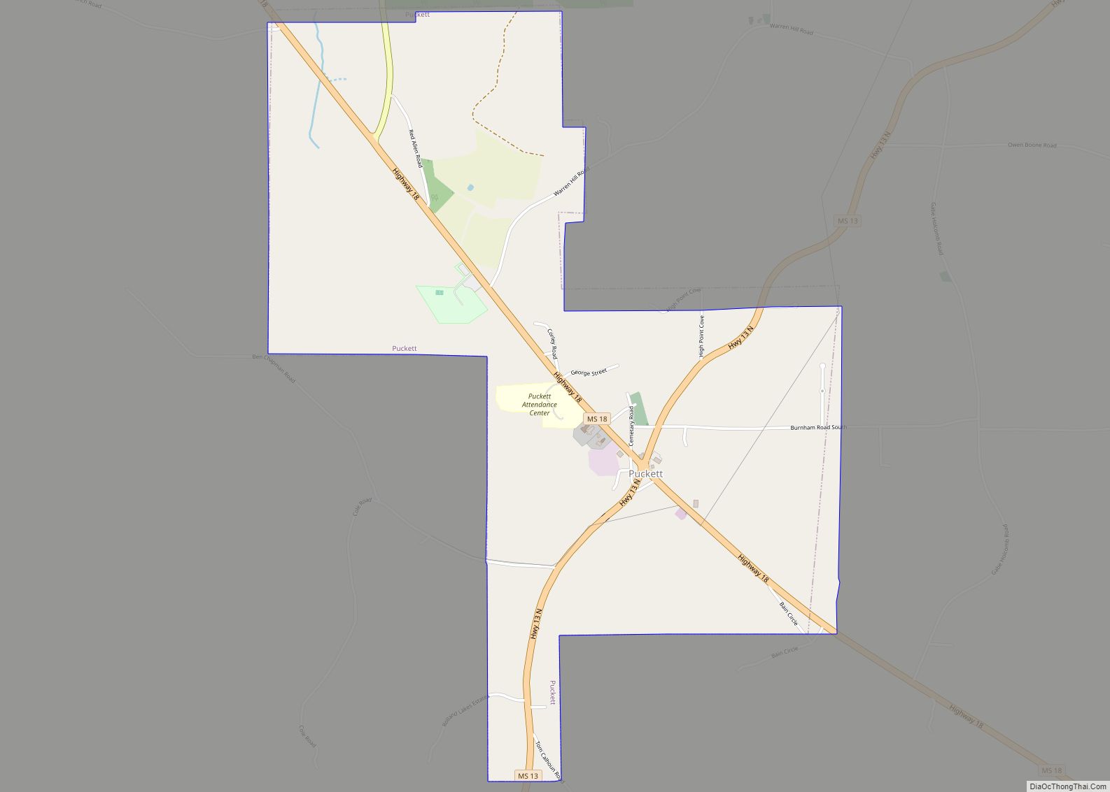
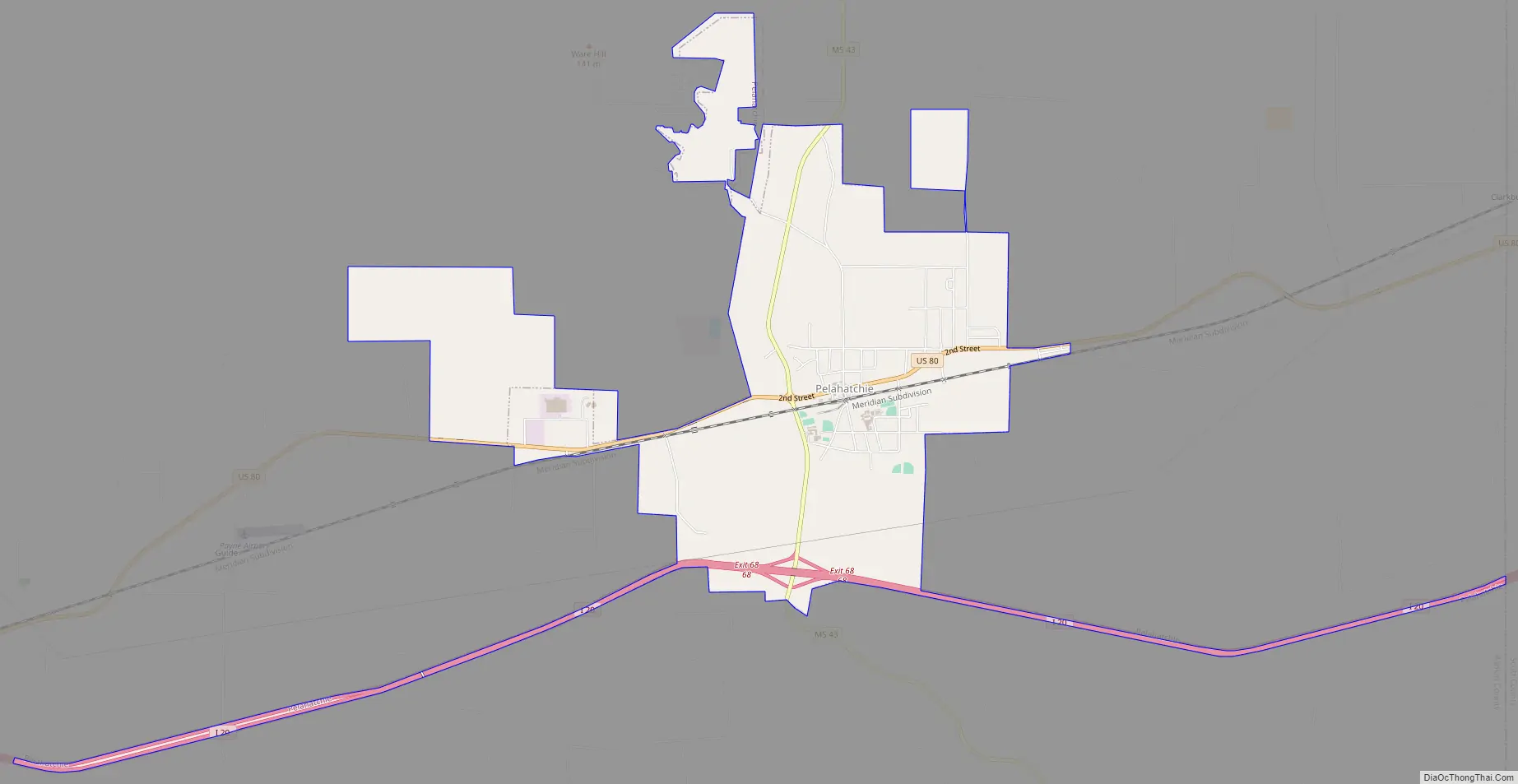
Pelahatchie Road Map
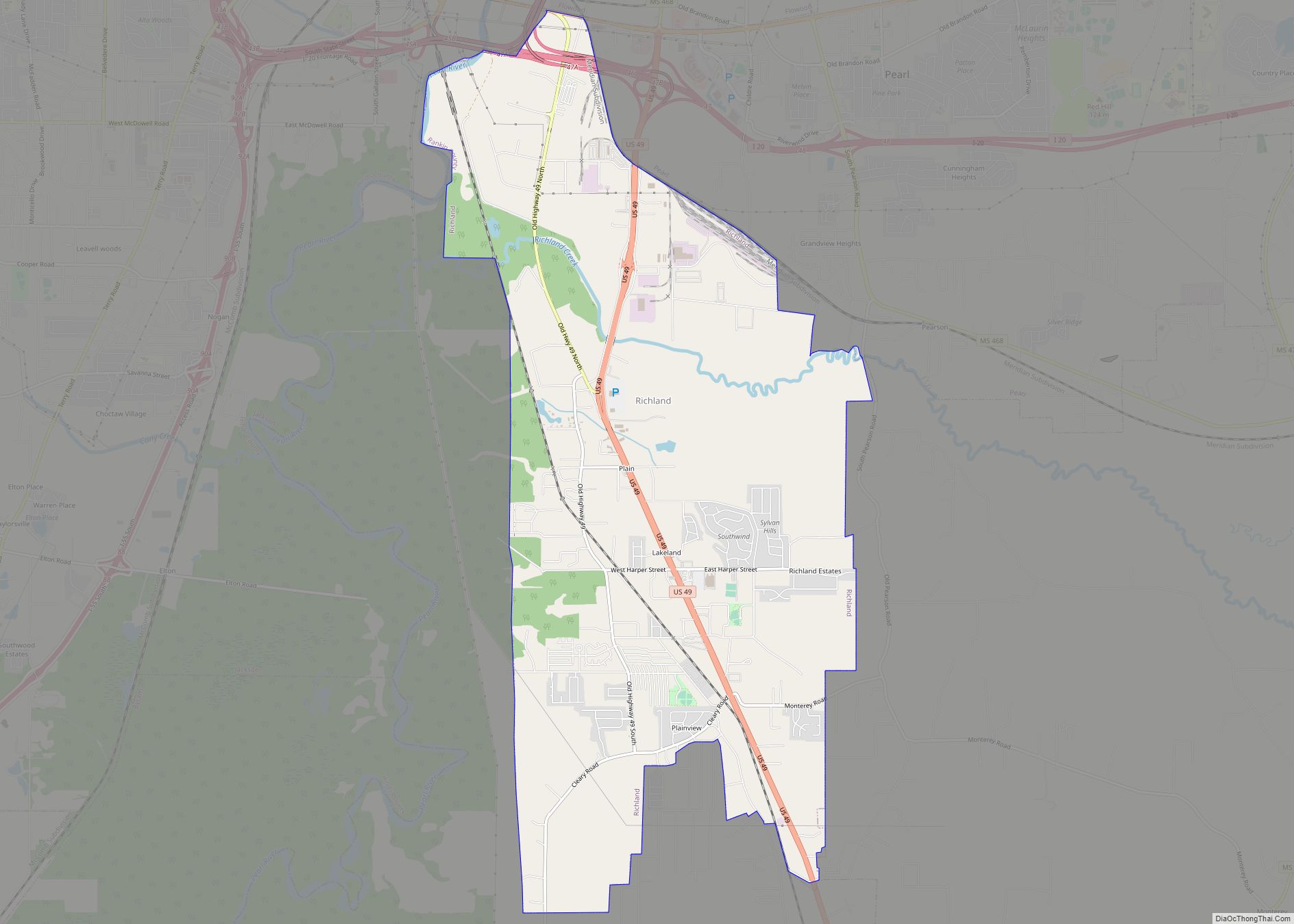
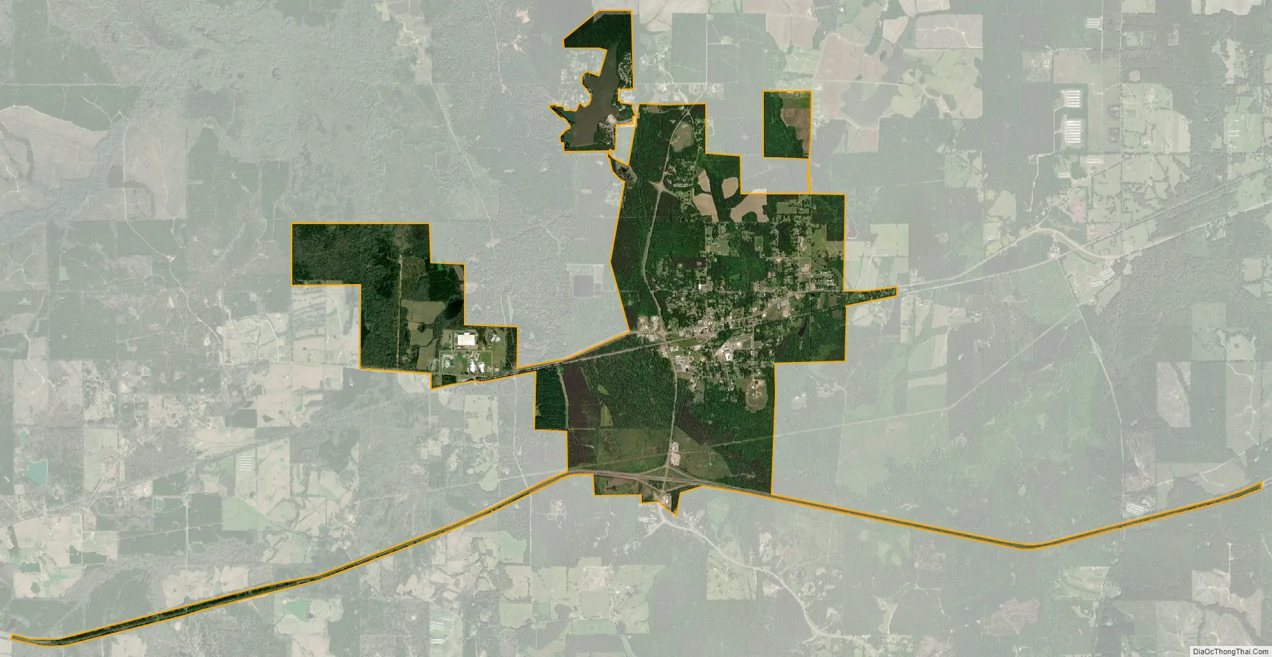
Pelahatchie city Satellite Map
Geography
According to the United States Census Bureau, the town has a total area of 3.2 square miles (8.3 km), all land.
See also
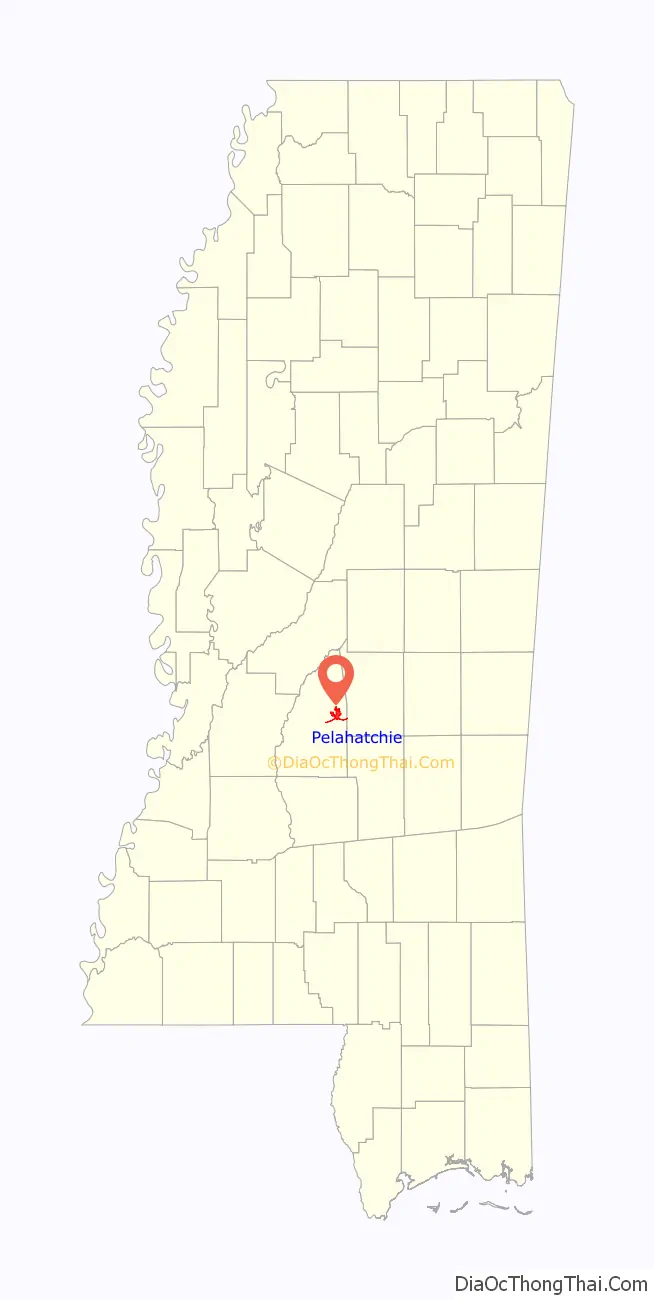
Map of Mississippi State and its subdivision:- Adams
- Alcorn
- Amite
- Attala
- Benton
- Bolivar
- Calhoun
- Carroll
- Chickasaw
- Choctaw
- Claiborne
- Clarke
- Clay
- Coahoma
- Copiah
- Covington
- Desoto
- Forrest
- Franklin
- George
- Greene
- Grenada
- Hancock
- Harrison
- Hinds
- Holmes
- Humphreys
- Issaquena
- Itawamba
- Jackson
- Jasper
- Jefferson
- Jefferson Davis
- Jones
- Kemper
- Lafayette
- Lamar
- Lauderdale
- Lawrence
- Leake
- Lee
- Leflore
- Lincoln
- Lowndes
- Madison
- Marion
- Marshall
- Monroe
- Montgomery
- Neshoba
- Newton
- Noxubee
- Oktibbeha
- Panola
- Pearl River
- Perry
- Pike
- Pontotoc
- Prentiss
- Quitman
- Rankin
- Scott
- Sharkey
- Simpson
- Smith
- Stone
- Sunflower
- Tallahatchie
- Tate
- Tippah
- Tishomingo
- Tunica
- Union
- Walthall
- Warren
- Washington
- Wayne
- Webster
- Wilkinson
- Winston
- Yalobusha
- Yazoo
- Alabama
- Alaska
- Arizona
- Arkansas
- California
- Colorado
- Connecticut
- Delaware
- District of Columbia
- Florida
- Georgia
- Hawaii
- Idaho
- Illinois
- Indiana
- Iowa
- Kansas
- Kentucky
- Louisiana
- Maine
- Maryland
- Massachusetts
- Michigan
- Minnesota
- Mississippi
- Missouri
- Montana
- Nebraska
- Nevada
- New Hampshire
- New Jersey
- New Mexico
- New York
- North Carolina
- North Dakota
- Ohio
- Oklahoma
- Oregon
- Pennsylvania
- Rhode Island
- South Carolina
- South Dakota
- Tennessee
- Texas
- Utah
- Vermont
- Virginia
- Washington
- West Virginia
- Wisconsin
- Wyoming