Sandersville is a town in Jones County, Mississippi, United States. The population was 636 at the 2020 census, down from 731 at the 2010 census. It is part of the Laurel micropolitan area.
| Name: | Sandersville town |
|---|---|
| LSAD Code: | 43 |
| LSAD Description: | town (suffix) |
| State: | Mississippi |
| County: | Jones County |
| Elevation: | 276 ft (84 m) |
| Total Area: | 4.99 sq mi (12.92 km²) |
| Land Area: | 4.95 sq mi (12.82 km²) |
| Water Area: | 0.04 sq mi (0.10 km²) |
| Total Population: | 636 |
| Population Density: | 128.46/sq mi (49.60/km²) |
| ZIP code: | 39477 |
| Area code: | 601 |
| FIPS code: | 2864920 |
| GNISfeature ID: | 0677364 |
Online Interactive Map
Click on ![]() to view map in "full screen" mode.
to view map in "full screen" mode.
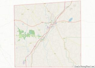
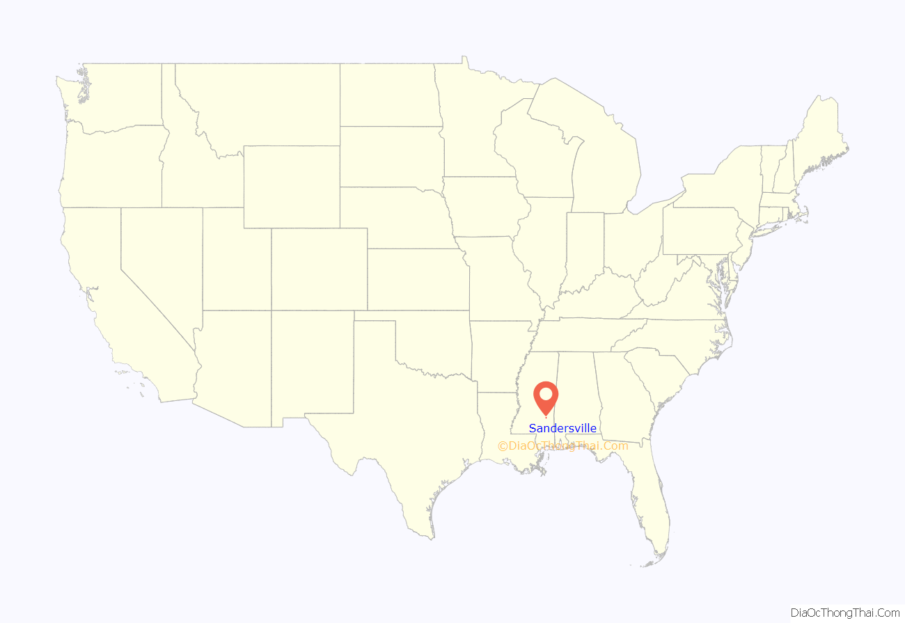
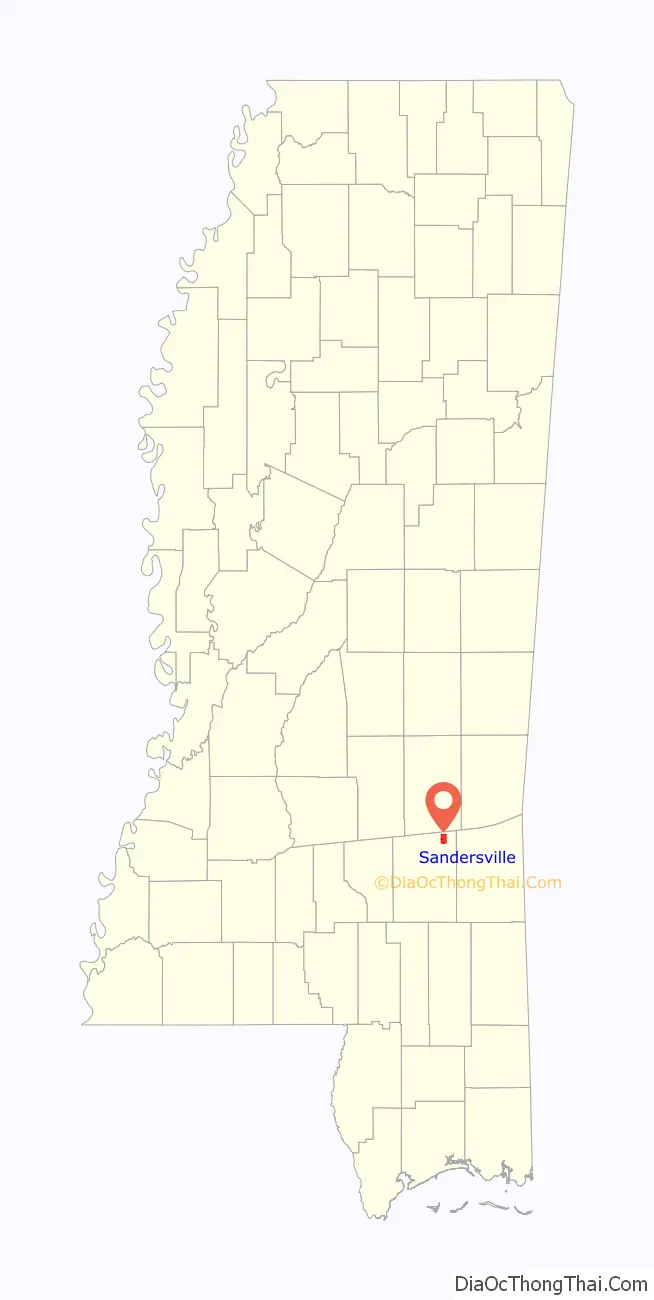
Sandersville location map. Where is Sandersville town?
History
Scottish settlers migrated here during the 1820s and built the Good Hope Presbyterian Church. In 1855, the town was named after the Sanders, a pioneer family.
Home construction was influenced by the Victorian era, as there are a noticeable number of cupolas on buildings in the town.
Hunt Refining Company has a refinery northeast of Sandersville which processes crude oil acquired primarily from local Mississippi fields. The refinery produces distillate feedstock, paving grade asphalt, heavy gas oils, naphtha, and roofing grade asphalt.
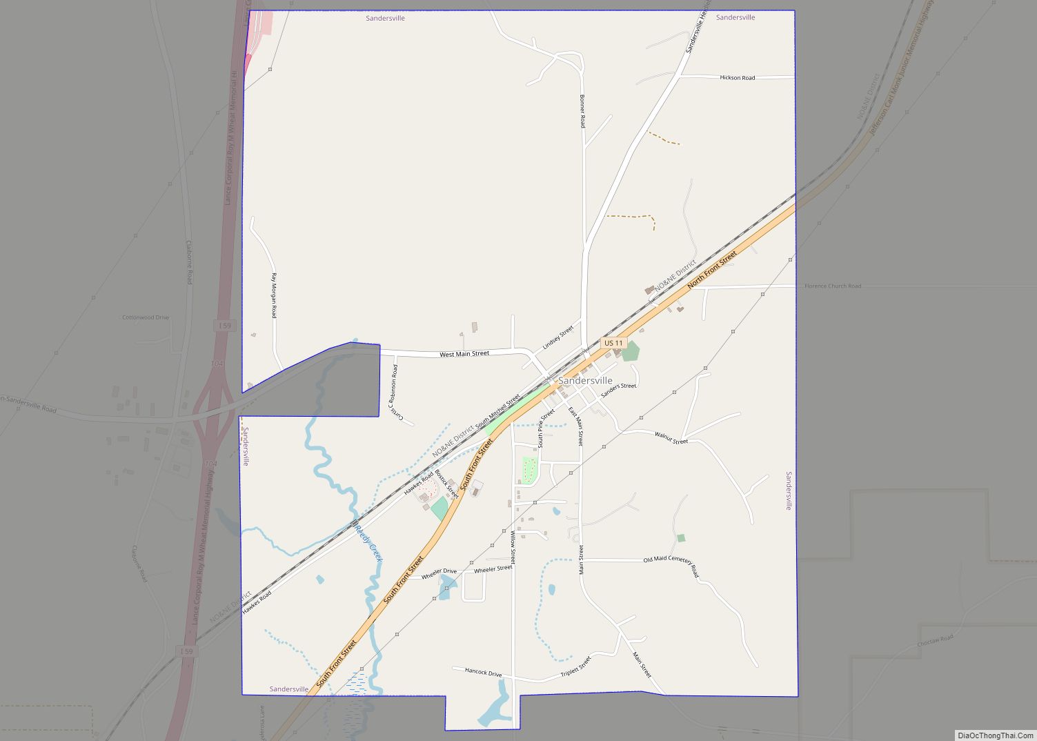
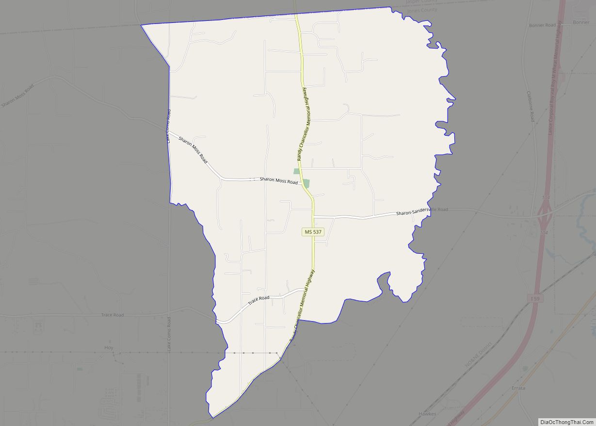
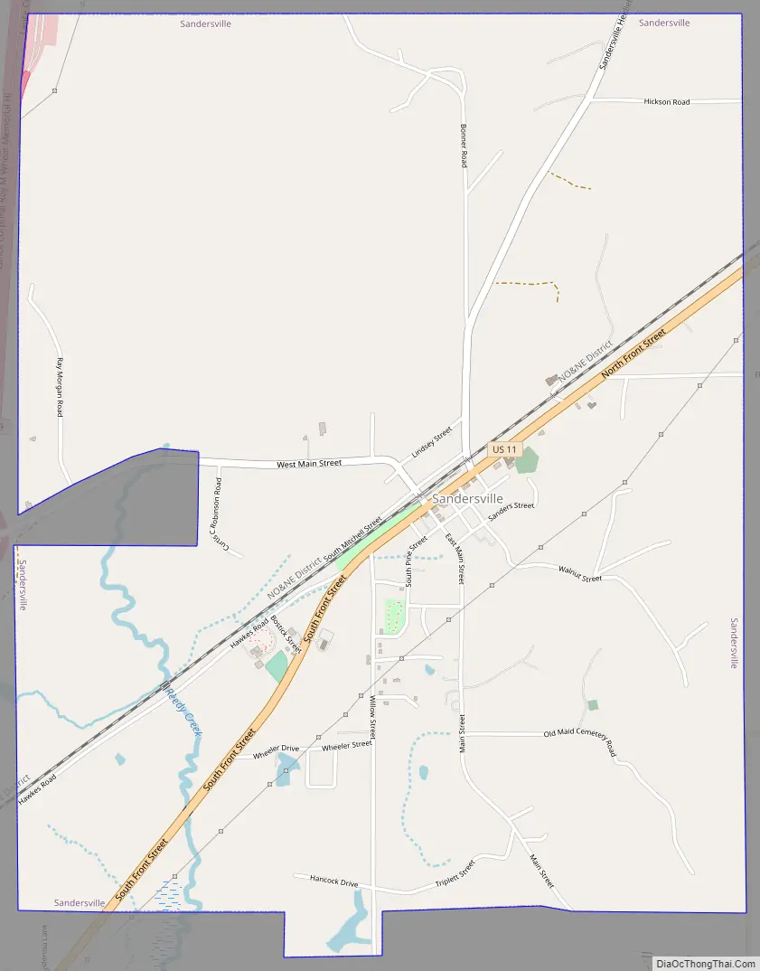
Sandersville Road Map
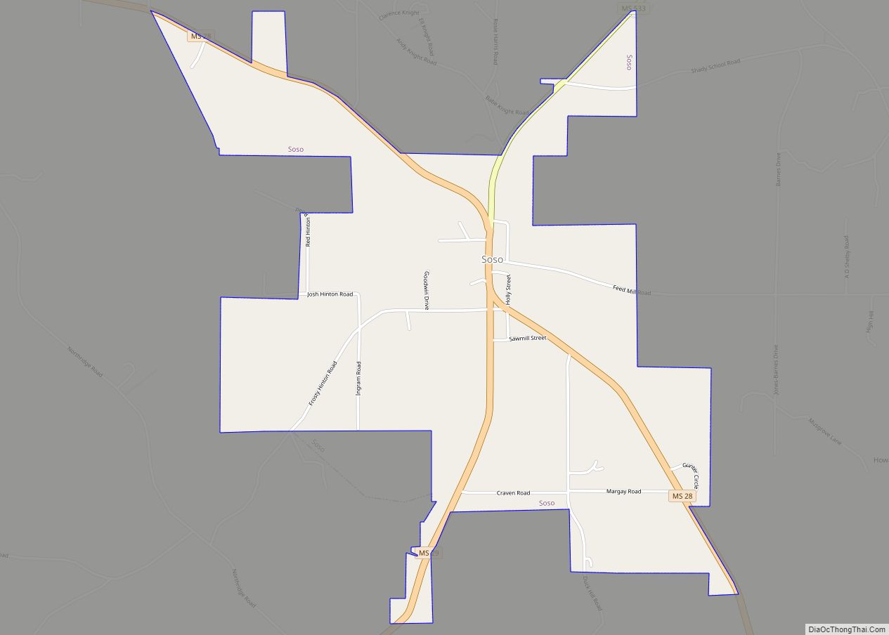
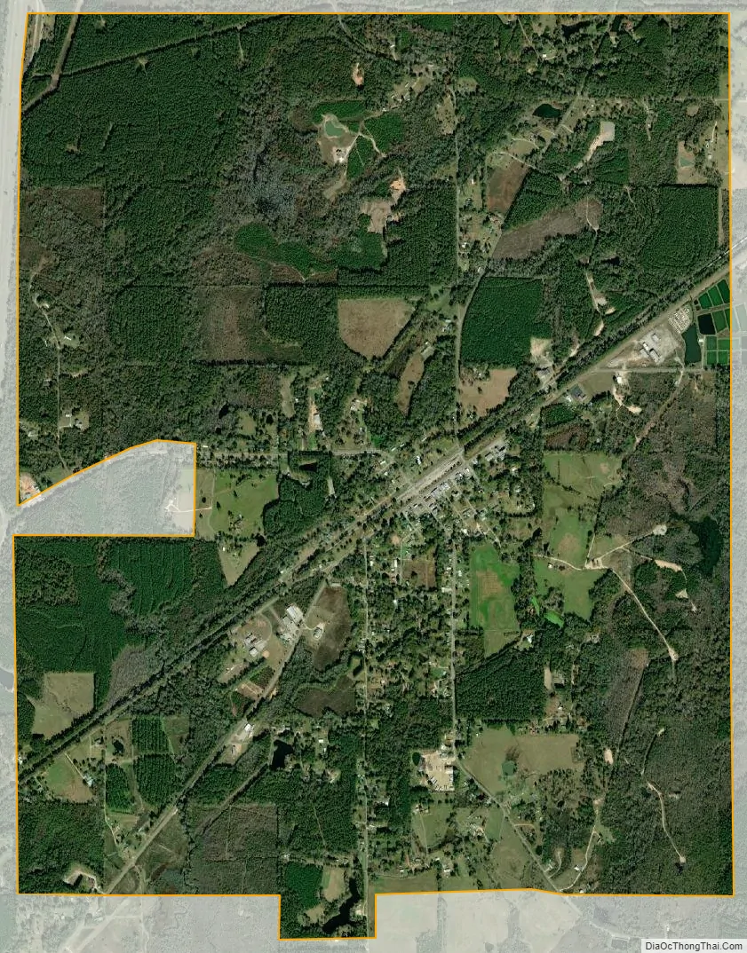
Sandersville city Satellite Map
Geography
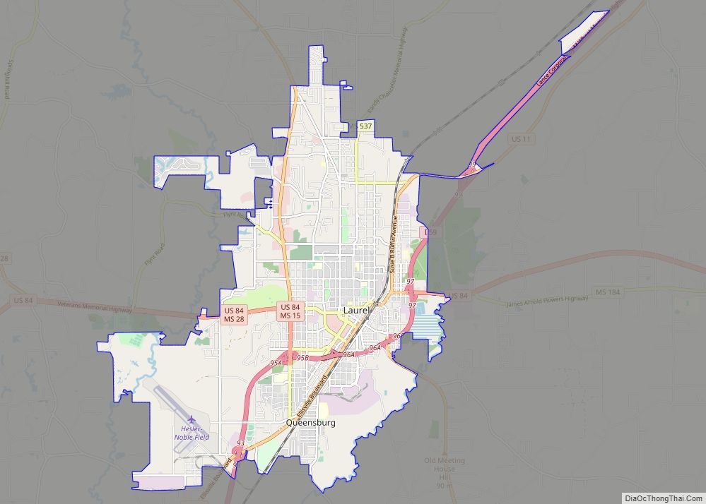
Sandersville is located in northeastern Jones County at 31°47′8″N 89°2′4″W / 31.78556°N 89.03444°W / 31.78556; -89.03444 (31.785455, -89.034572). U.S. Route 11 (Front Street) passes through the center of town, leading southwest 9 miles (14 km) to Laurel, the county’s largest city, and northeast 10 miles (16 km) to Stafford Springs. Interstate 59 passes just west of the town limits, with access from Exit 104 (West Main Street). I-59 leads northeast 48 miles (77 km) to Meridian and southwest 39 miles (63 km) to Hattiesburg.
According to the United States Census Bureau, Sandersville has a total area of 5.0 square miles (12.9 km), of which 0.04 square miles (0.1 km), or 0.77%, is water.
See also
Map of Mississippi State and its subdivision:- Adams
- Alcorn
- Amite
- Attala
- Benton
- Bolivar
- Calhoun
- Carroll
- Chickasaw
- Choctaw
- Claiborne
- Clarke
- Clay
- Coahoma
- Copiah
- Covington
- Desoto
- Forrest
- Franklin
- George
- Greene
- Grenada
- Hancock
- Harrison
- Hinds
- Holmes
- Humphreys
- Issaquena
- Itawamba
- Jackson
- Jasper
- Jefferson
- Jefferson Davis
- Jones
- Kemper
- Lafayette
- Lamar
- Lauderdale
- Lawrence
- Leake
- Lee
- Leflore
- Lincoln
- Lowndes
- Madison
- Marion
- Marshall
- Monroe
- Montgomery
- Neshoba
- Newton
- Noxubee
- Oktibbeha
- Panola
- Pearl River
- Perry
- Pike
- Pontotoc
- Prentiss
- Quitman
- Rankin
- Scott
- Sharkey
- Simpson
- Smith
- Stone
- Sunflower
- Tallahatchie
- Tate
- Tippah
- Tishomingo
- Tunica
- Union
- Walthall
- Warren
- Washington
- Wayne
- Webster
- Wilkinson
- Winston
- Yalobusha
- Yazoo
- Alabama
- Alaska
- Arizona
- Arkansas
- California
- Colorado
- Connecticut
- Delaware
- District of Columbia
- Florida
- Georgia
- Hawaii
- Idaho
- Illinois
- Indiana
- Iowa
- Kansas
- Kentucky
- Louisiana
- Maine
- Maryland
- Massachusetts
- Michigan
- Minnesota
- Mississippi
- Missouri
- Montana
- Nebraska
- Nevada
- New Hampshire
- New Jersey
- New Mexico
- New York
- North Carolina
- North Dakota
- Ohio
- Oklahoma
- Oregon
- Pennsylvania
- Rhode Island
- South Carolina
- South Dakota
- Tennessee
- Texas
- Utah
- Vermont
- Virginia
- Washington
- West Virginia
- Wisconsin
- Wyoming