Soso is a town in Jones County, Mississippi, United States. The population was 418 at the 2020 census.
Paul Davis, a singer and songwriter from Meridian, Mississippi, wrote a song called “Sweet Magnolia Blues”, which refers to Soso.
| Name: | Soso town |
|---|---|
| LSAD Code: | 43 |
| LSAD Description: | town (suffix) |
| State: | Mississippi |
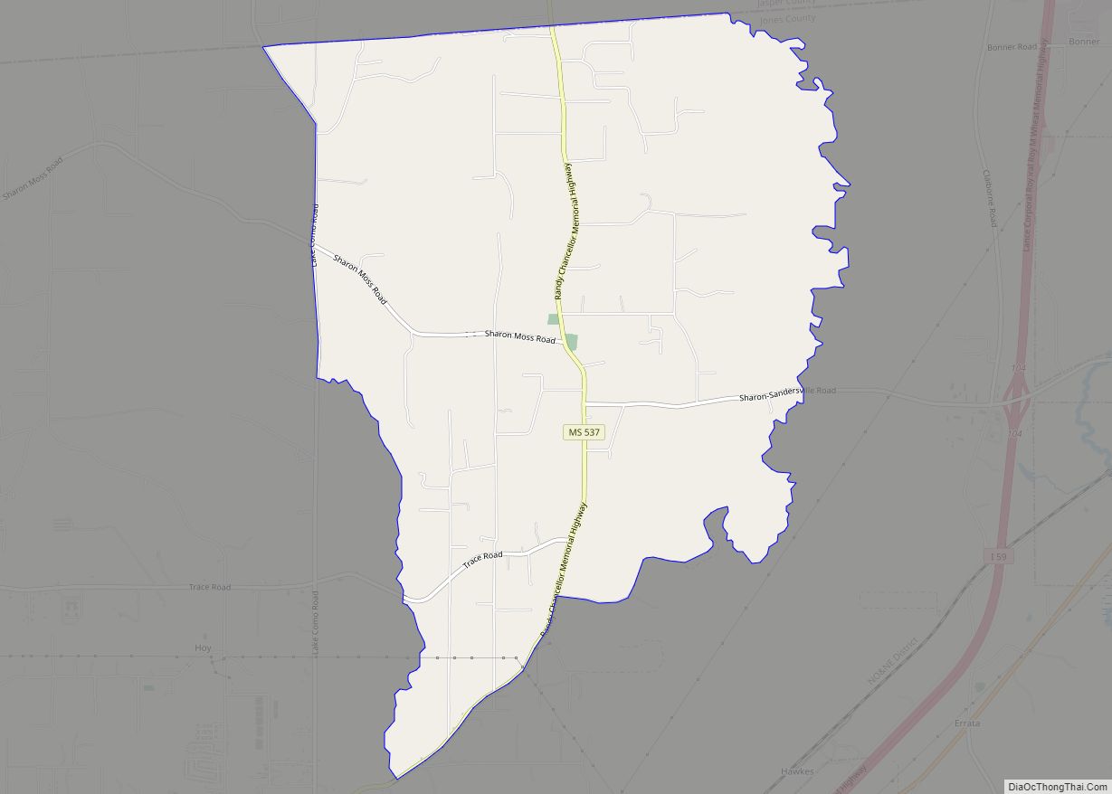
| County: | Jones County |
| Elevation: | 315 ft (96 m) |
| Total Area: | 2.04 sq mi (5.28 km²) |
| Land Area: | 2.03 sq mi (5.26 km²) |
| Water Area: | 0.01 sq mi (0.01 km²) |
| Total Population: | 418 |
| Population Density: | 205.71/sq mi (79.43/km²) |
| ZIP code: | 39480 |
| Area code: | 601 |
| FIPS code: | 2869160 |
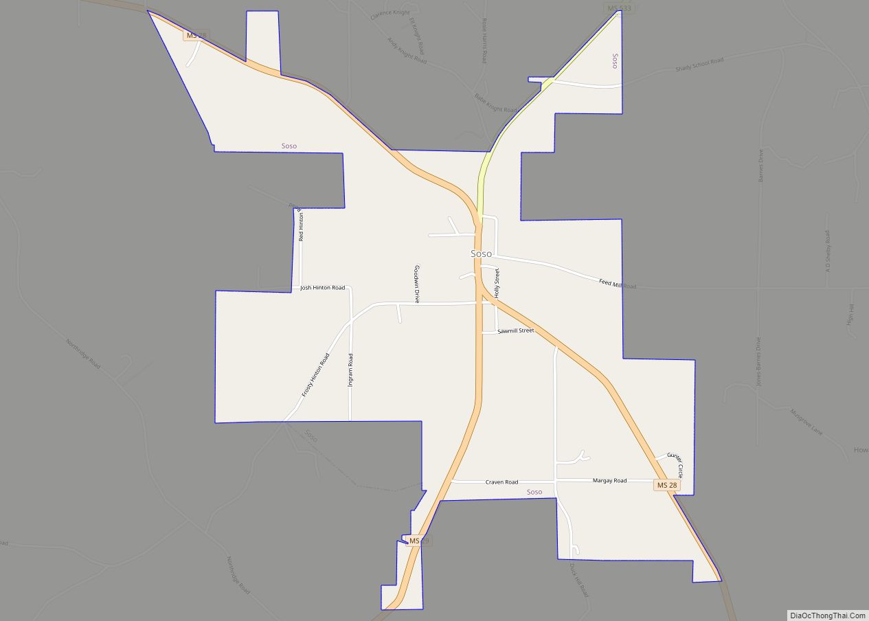
Online Interactive Map
Click on ![]() to view map in "full screen" mode.
to view map in "full screen" mode.
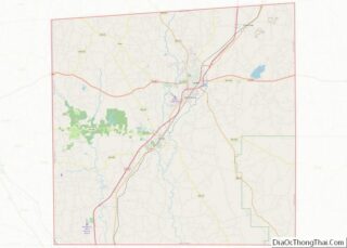
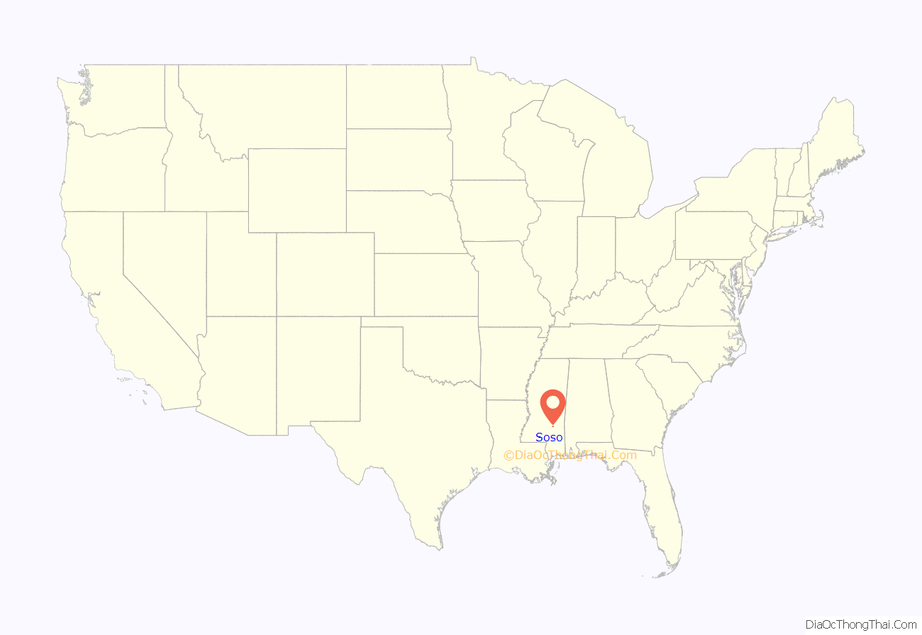
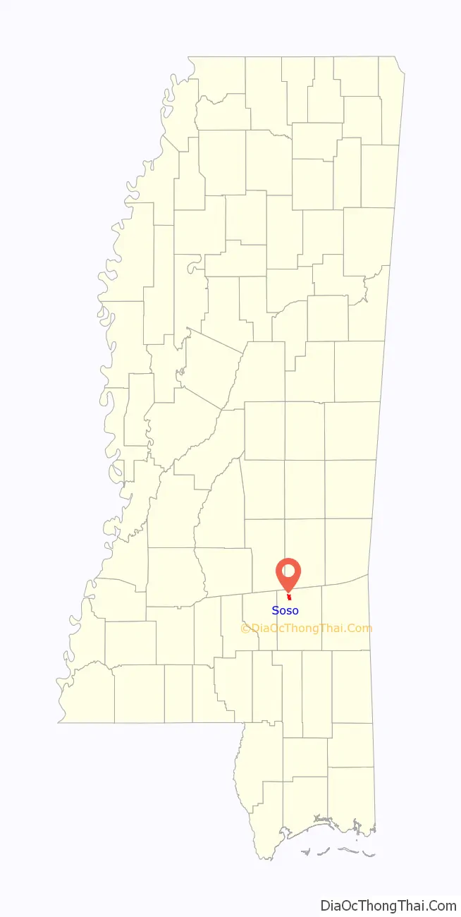
Soso location map. Where is Soso town?
History
According to tradition, the name “Soso” was derived from an old settler’s common response to a question about how he was doing: “so-so”.
After the Civil War, yeoman farmers returned to the area. The town developed a small mixed-race community. Among its notable residents was Unionist Newton Knight, who lived there mostly after the Reconstruction era with his wife Rachel and family. Knight was known for having led the Knight Company in and around Jones County during 1863 and 1864 in resistance to Confederate authorities, trying to protect local farmers. After the war he lived in Jasper County for a time, where he was active in the Republican Party. In 1872 he was appointed as a deputy U.S. Marshal for the Southern District. After Reconstruction ended, Knight retired from politics, as white Democrats took over county and state offices.
Rachel was a freedwoman who had aided the resistance. (In an historic photograph she appears to have been of mixed race.) She and Knight had several children together.
Tornado history
On April 12, 2020, Soso was struck by a large and deadly EF4 tornado. It caused major damage to homes, churches, and the fire station. Numerous trees were snapped throughout town, the old elementary school was damaged, multiple buildings and churches in town were leveled and several homes were destroyed. The tornado’s path mirrored that of a long-tracked F3 tornado that struck the south side of town on April 21, 1951, also causing severe damage.
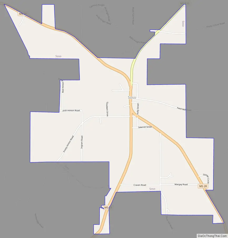
Soso Road Map
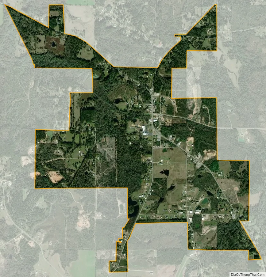
Soso city Satellite Map
Geography
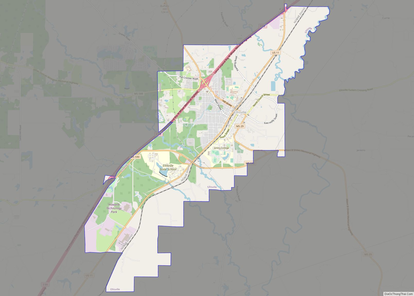
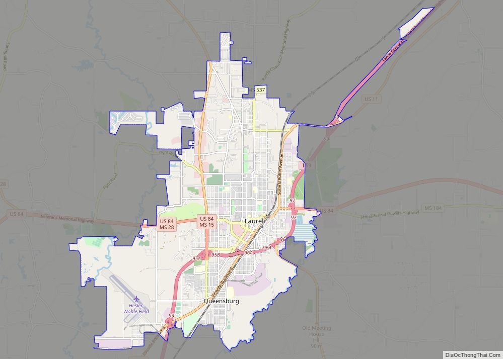
Soso is in northwestern Jones County at 31°45′16″N 89°16′27″W / 31.75444°N 89.27417°W / 31.75444; -89.27417 (31.754465, -89.274120). Mississippi Highway 28 passes through the center of town, leading southeast 5 miles (8 km) to U.S. Route 84 and northwest 10 miles (16 km) to Taylorsville. Laurel, the largest city in Jones County, is 10 miles southeast of Soso via Highways 28 and 84. Mississippi Highway 29 has its northern terminus in Soso and leads south 12 miles (19 km) to Ellisville.
According to the United States Census Bureau, Soso has an area of 2.1 square miles (5.5 km), of which 0.004 square miles (0.01 km), or 0.23%, is water.
See also
Map of Mississippi State and its subdivision:- Adams
- Alcorn
- Amite
- Attala
- Benton
- Bolivar
- Calhoun
- Carroll
- Chickasaw
- Choctaw
- Claiborne
- Clarke
- Clay
- Coahoma
- Copiah
- Covington
- Desoto
- Forrest
- Franklin
- George
- Greene
- Grenada
- Hancock
- Harrison
- Hinds
- Holmes
- Humphreys
- Issaquena
- Itawamba
- Jackson
- Jasper
- Jefferson
- Jefferson Davis
- Jones
- Kemper
- Lafayette
- Lamar
- Lauderdale
- Lawrence
- Leake
- Lee
- Leflore
- Lincoln
- Lowndes
- Madison
- Marion
- Marshall
- Monroe
- Montgomery
- Neshoba
- Newton
- Noxubee
- Oktibbeha
- Panola
- Pearl River
- Perry
- Pike
- Pontotoc
- Prentiss
- Quitman
- Rankin
- Scott
- Sharkey
- Simpson
- Smith
- Stone
- Sunflower
- Tallahatchie
- Tate
- Tippah
- Tishomingo
- Tunica
- Union
- Walthall
- Warren
- Washington
- Wayne
- Webster
- Wilkinson
- Winston
- Yalobusha
- Yazoo
- Alabama
- Alaska
- Arizona
- Arkansas
- California
- Colorado
- Connecticut
- Delaware
- District of Columbia
- Florida
- Georgia
- Hawaii
- Idaho
- Illinois
- Indiana
- Iowa
- Kansas
- Kentucky
- Louisiana
- Maine
- Maryland
- Massachusetts
- Michigan
- Minnesota
- Mississippi
- Missouri
- Montana
- Nebraska
- Nevada
- New Hampshire
- New Jersey
- New Mexico
- New York
- North Carolina
- North Dakota
- Ohio
- Oklahoma
- Oregon
- Pennsylvania
- Rhode Island
- South Carolina
- South Dakota
- Tennessee
- Texas
- Utah
- Vermont
- Virginia
- Washington
- West Virginia
- Wisconsin
- Wyoming