Wade is an unincorporated community and census-designated place (CDP) in Jackson County, Mississippi, United States. It is part of the Pascagoula Metropolitan Statistical Area. The population was 1,074 at the 2010 census, up from 491 at the 2000 census.
| Name: | Wade CDP |
|---|---|
| LSAD Code: | 57 |
| LSAD Description: | CDP (suffix) |
| State: | Mississippi |
| County: | Jackson County |
| Elevation: | 43 ft (13 m) |
| Total Area: | 6.19 sq mi (16.04 km²) |
| Land Area: | 6.17 sq mi (15.97 km²) |
| Water Area: | 0.03 sq mi (0.07 km²) |
| Total Population: | 996 |
| Population Density: | 161.56/sq mi (62.37/km²) |
| ZIP code: | 39567 |
| Area code: | 228 |
| FIPS code: | 2877080 |
| GNISfeature ID: | 0692298 |
Online Interactive Map
Click on ![]() to view map in "full screen" mode.
to view map in "full screen" mode.
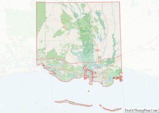
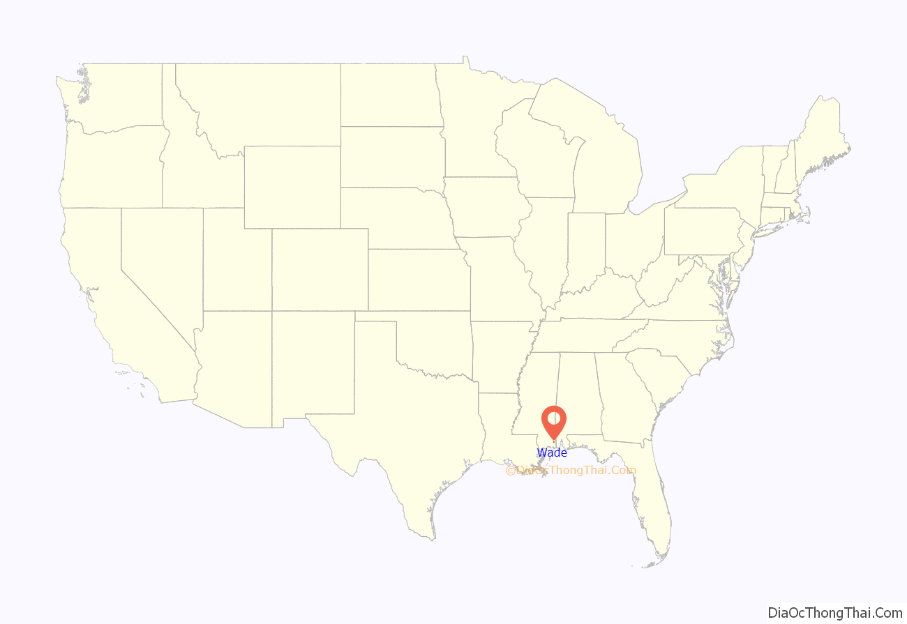
Wade location map. Where is Wade CDP?
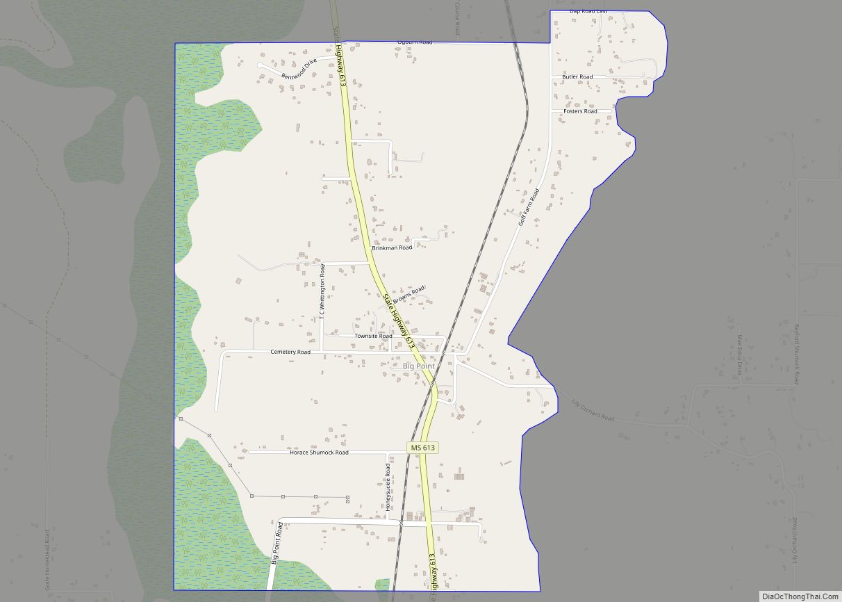
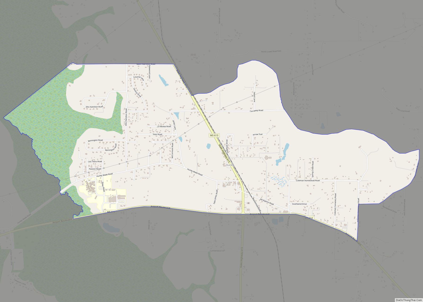
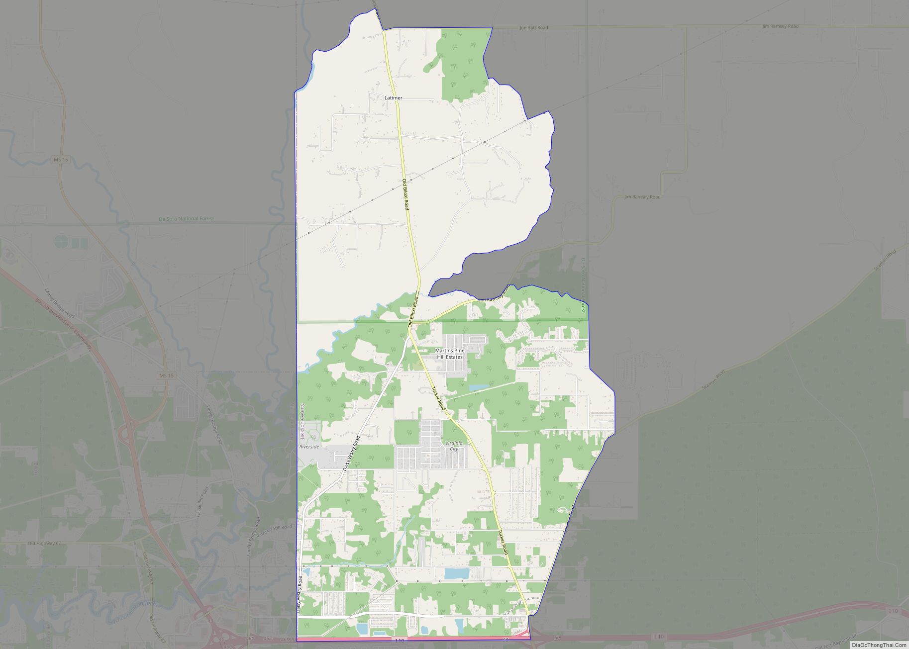
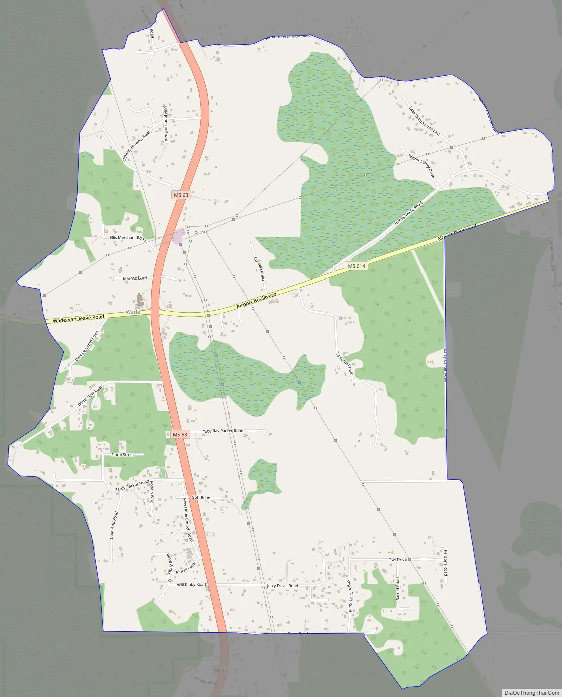
Wade Road Map
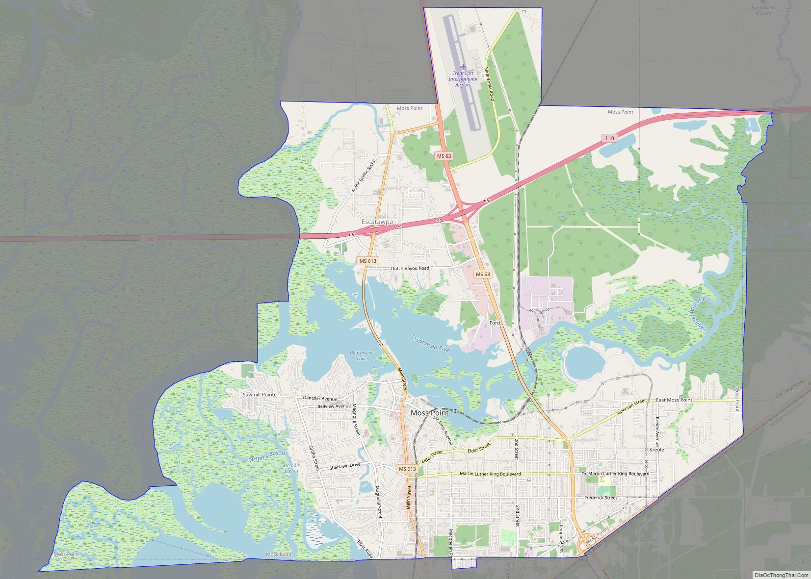
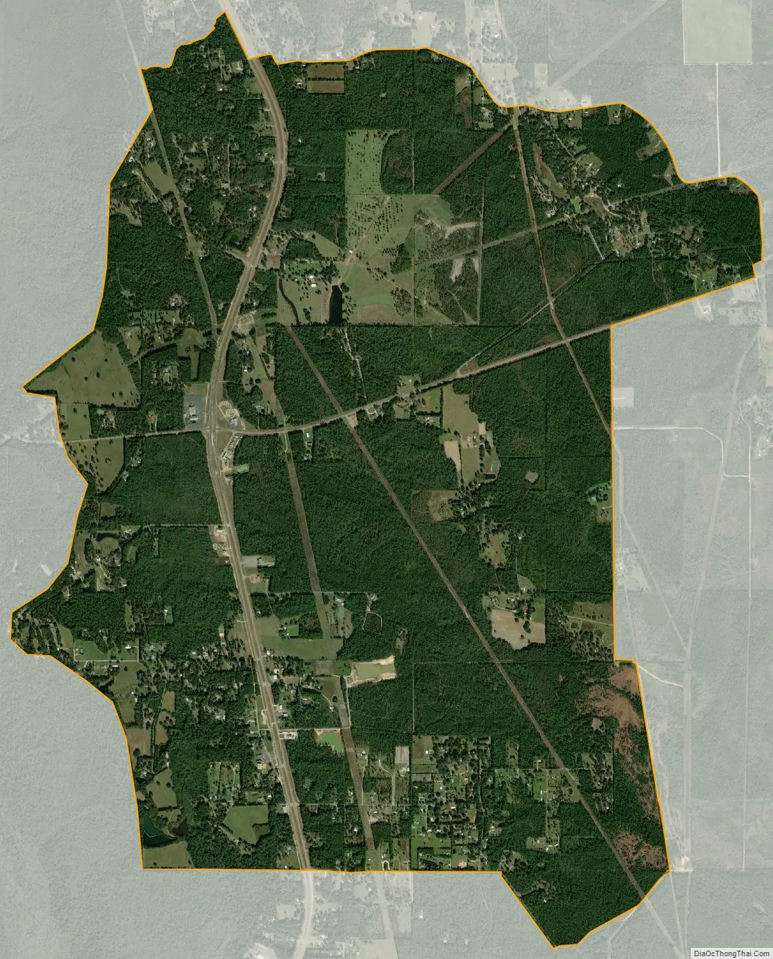
Wade city Satellite Map
Geography
Wade is located in northeastern Jackson County at 30°38′31″N 88°33′4″W / 30.64194°N 88.55111°W / 30.64194; -88.55111 (30.641942, -88.551069), around the intersection of Mississippi Highway 63 and Mississippi Highway 614. Highway 63 leads north 21 miles (34 km) to Lucedale and south 22 miles (35 km) to Pascagoula, the Jackson county seat. Highway 614 leads east 5 miles (8 km) to Hurley and west 10 miles (16 km) to Mississippi Highway 57 north of Vancleave.
According to the United States Census Bureau, the Wade CDP has a total area of 6.2 square miles (16.0 km), of which 0.03 square miles (0.07 km), or 0.44%, are water.
See also
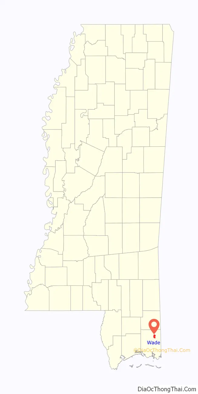
Map of Mississippi State and its subdivision:- Adams
- Alcorn
- Amite
- Attala
- Benton
- Bolivar
- Calhoun
- Carroll
- Chickasaw
- Choctaw
- Claiborne
- Clarke
- Clay
- Coahoma
- Copiah
- Covington
- Desoto
- Forrest
- Franklin
- George
- Greene
- Grenada
- Hancock
- Harrison
- Hinds
- Holmes
- Humphreys
- Issaquena
- Itawamba
- Jackson
- Jasper
- Jefferson
- Jefferson Davis
- Jones
- Kemper
- Lafayette
- Lamar
- Lauderdale
- Lawrence
- Leake
- Lee
- Leflore
- Lincoln
- Lowndes
- Madison
- Marion
- Marshall
- Monroe
- Montgomery
- Neshoba
- Newton
- Noxubee
- Oktibbeha
- Panola
- Pearl River
- Perry
- Pike
- Pontotoc
- Prentiss
- Quitman
- Rankin
- Scott
- Sharkey
- Simpson
- Smith
- Stone
- Sunflower
- Tallahatchie
- Tate
- Tippah
- Tishomingo
- Tunica
- Union
- Walthall
- Warren
- Washington
- Wayne
- Webster
- Wilkinson
- Winston
- Yalobusha
- Yazoo
- Alabama
- Alaska
- Arizona
- Arkansas
- California
- Colorado
- Connecticut
- Delaware
- District of Columbia
- Florida
- Georgia
- Hawaii
- Idaho
- Illinois
- Indiana
- Iowa
- Kansas
- Kentucky
- Louisiana
- Maine
- Maryland
- Massachusetts
- Michigan
- Minnesota
- Mississippi
- Missouri
- Montana
- Nebraska
- Nevada
- New Hampshire
- New Jersey
- New Mexico
- New York
- North Carolina
- North Dakota
- Ohio
- Oklahoma
- Oregon
- Pennsylvania
- Rhode Island
- South Carolina
- South Dakota
- Tennessee
- Texas
- Utah
- Vermont
- Virginia
- Washington
- West Virginia
- Wisconsin
- Wyoming