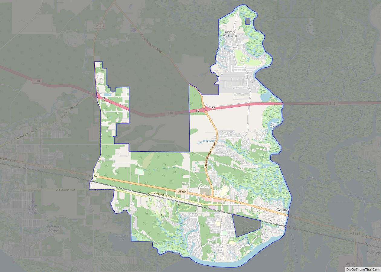
Gautier (/ˈɡoʊʃeɪ/ GOH-SHAY) is a city in Jackson County, Mississippi, United States, along the Gulf of Mexico west of Pascagoula. It is part of the Pascagoula Metropolitan Statistical Area. The population was 18,572 at the 2010 census, up from 11,681 at the 2000 census. In 2002, Gautier had annexed land more than doubling its area.
Gautier is a bedroom resort community surrounded by bayous and wetlands on three sides. The natural environment of Gautier offers many opportunities for recreation and eco-tourism. The Gulf Coast region, of which Gautier is a part, has been considered a relatively high growth area of the state; however, the loss of houses and jobs after Hurricane Katrina on August 29, 2005 led to outmigration in 2006.
| Name: | Gautier city |
|---|---|
| LSAD Code: | 25 |
| LSAD Description: | city (suffix) |
| State: | Mississippi |
| County: | Jackson County |
| Elevation: | 7 ft (2 m) |
| Total Area: | 32.12 sq mi (83.20 km²) |
| Land Area: | 30.26 sq mi (78.37 km²) |
| Water Area: | 1.86 sq mi (4.83 km²) |
| Total Population: | 19,024 |
| Population Density: | 628.75/sq mi (242.76/km²) |
| ZIP code: | 39553 |
| Area code: | 228 |
| FIPS code: | 2826860 |
| GNISfeature ID: | 0670341 |
| Website: | www.gautier-ms.gov |
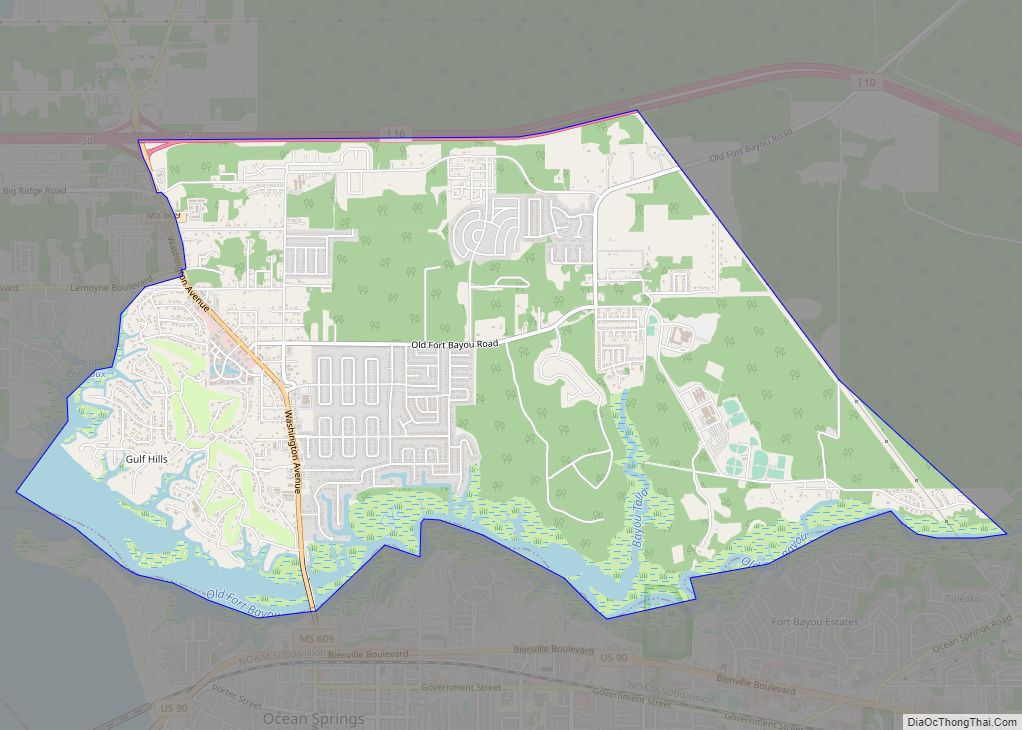
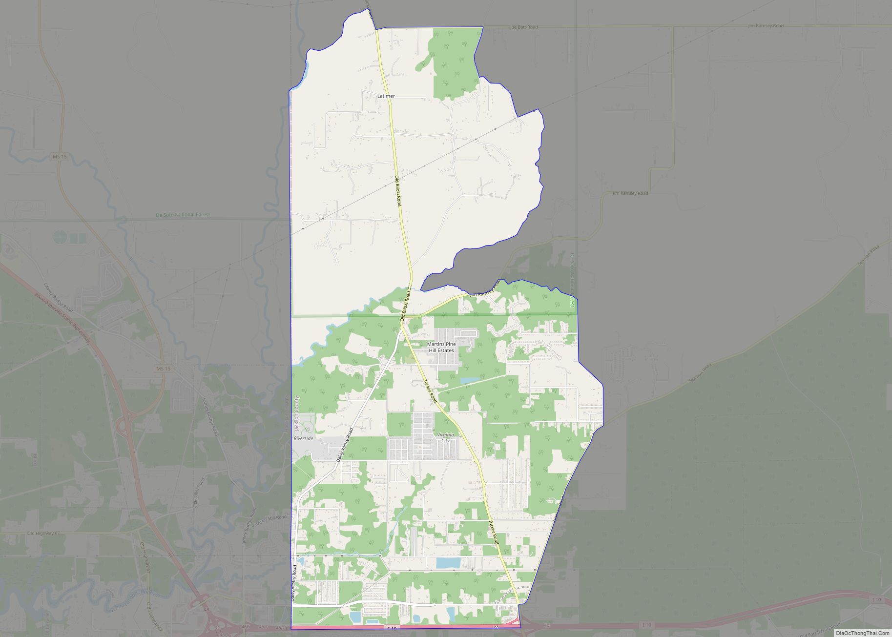
Online Interactive Map
Click on ![]() to view map in "full screen" mode.
to view map in "full screen" mode.
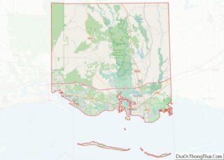
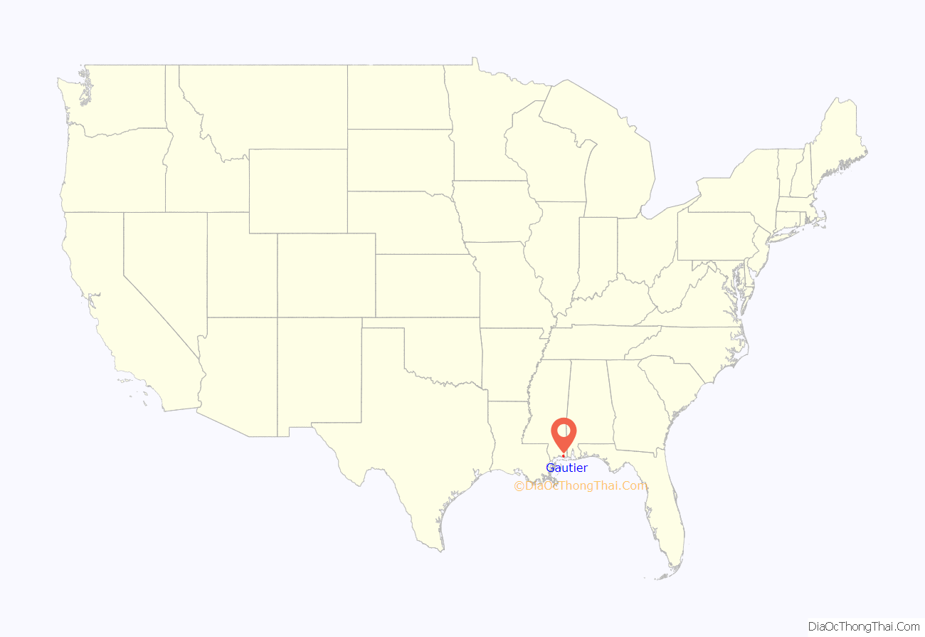
Gautier location map. Where is Gautier city?

History
The town takes its name from the Gautier family that originated in Lyon, France. Fernando Upton Gautier (1822–1891) was born on a cargo ship as his parents were emigrating to New Orleans. In 1867, Gautier established a spacious homestead at the mouth of the Pascagoula River, which still stands. He established a lucrative sawmill business in the area, and the town grew up from it. The home, known by locals as “The Old Place”, is owned by the descendants of Fernando Upton Gautier and his wife, Theresa Fayard Gautier (1828–1911), and is used for private and public events.
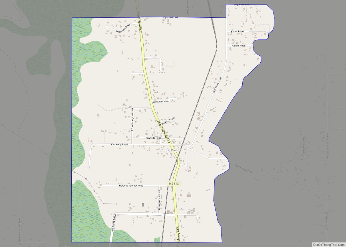
Gautier Road Map

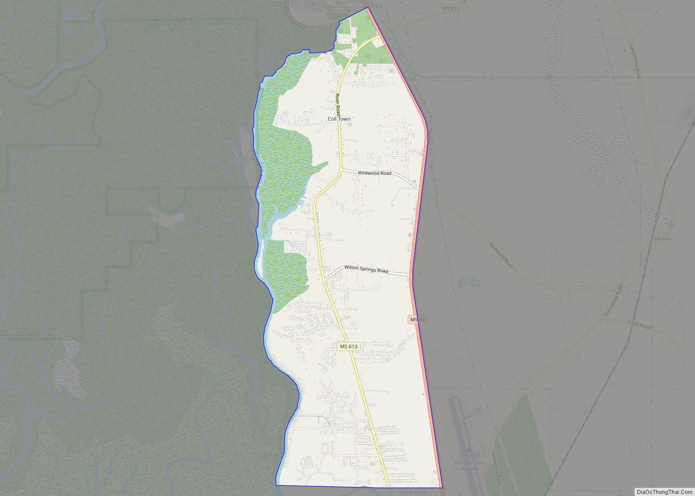
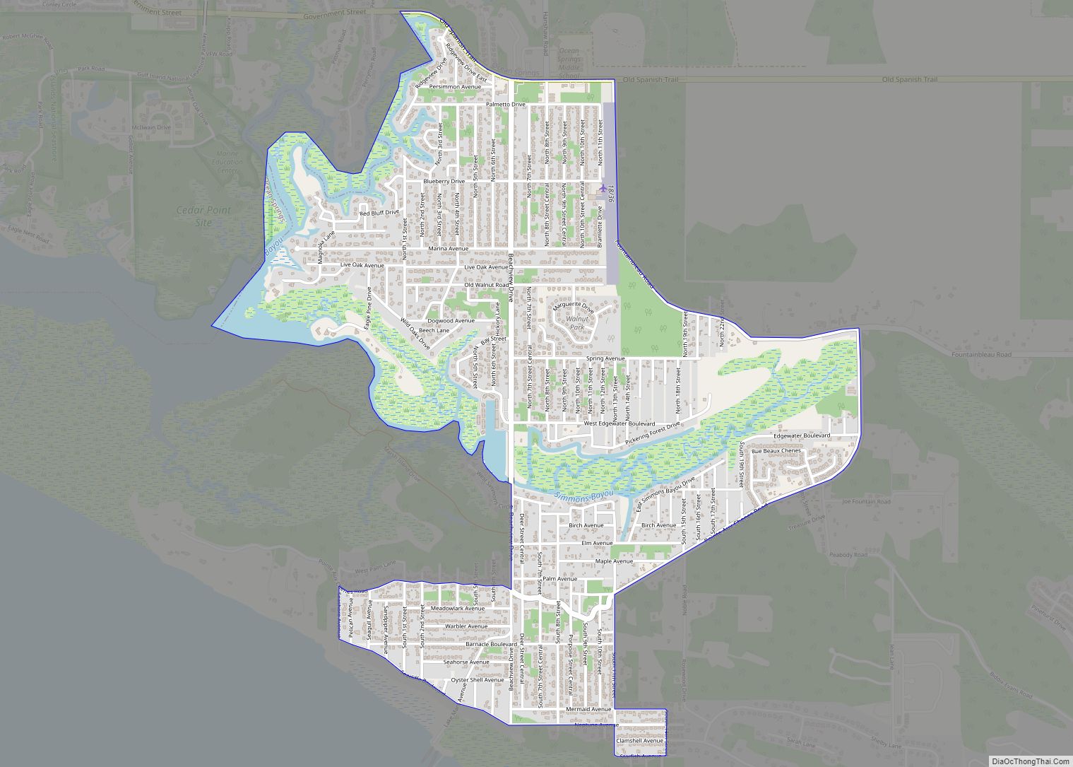
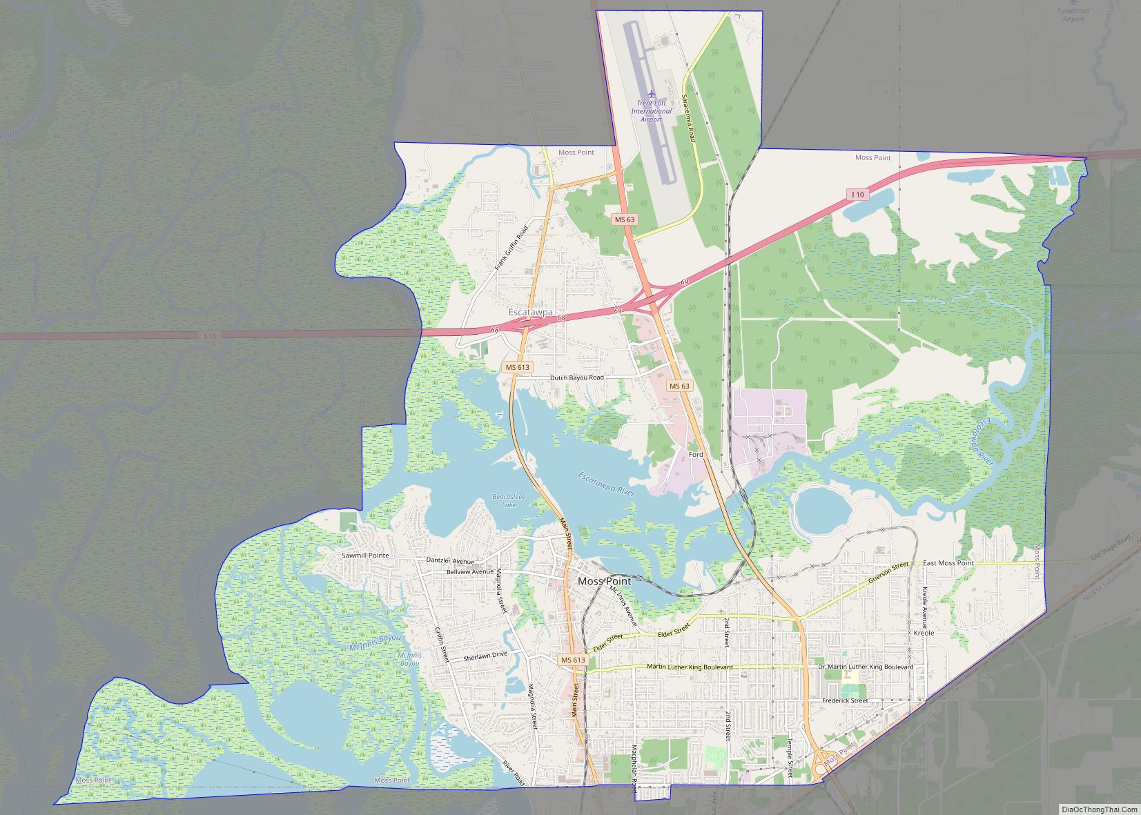
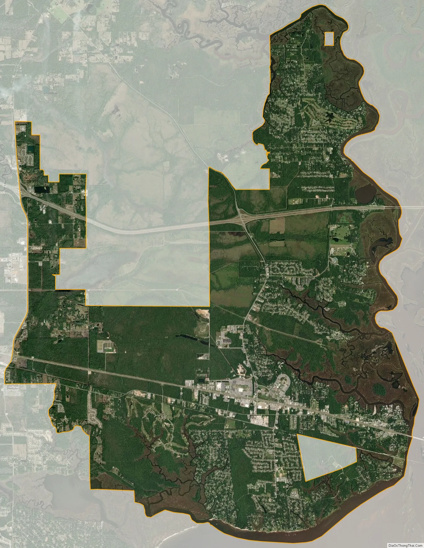
Gautier city Satellite Map
Geography
Gautier is located in southern Jackson County along Mississippi Sound of the Gulf of Mexico, at the mouth of the West Pascagoula River, locally known as the “Singing River”. The city is bordered to the east by the city of Pascagoula (the Jackson county seat) and to the west by Ocean Springs, and to the north by unincorporated Vancleave.
U.S. Route 90 passes through the center of Gautier, leading east 4 miles (6 km) into Pascagoula and 13 miles (21 km) to Ocean Springs. Interstate 10 passes through the northern part of the city limits, with access from Exit 57 (Mississippi Highway 57) and Exit 61 (Gautier Vancleave Road). I-10 leads west 30 miles (48 km) to the Gulfport area and east 42 miles (68 km) to Mobile, Alabama.
According to the United States Census Bureau, the city of Gautier has a total area of 32.1 square miles (83.2 km), of which 30.2 square miles (78.3 km) are land and 1.9 square miles (4.9 km), or 5.90%, are water.
See also
Map of Mississippi State and its subdivision:- Adams
- Alcorn
- Amite
- Attala
- Benton
- Bolivar
- Calhoun
- Carroll
- Chickasaw
- Choctaw
- Claiborne
- Clarke
- Clay
- Coahoma
- Copiah
- Covington
- Desoto
- Forrest
- Franklin
- George
- Greene
- Grenada
- Hancock
- Harrison
- Hinds
- Holmes
- Humphreys
- Issaquena
- Itawamba
- Jackson
- Jasper
- Jefferson
- Jefferson Davis
- Jones
- Kemper
- Lafayette
- Lamar
- Lauderdale
- Lawrence
- Leake
- Lee
- Leflore
- Lincoln
- Lowndes
- Madison
- Marion
- Marshall
- Monroe
- Montgomery
- Neshoba
- Newton
- Noxubee
- Oktibbeha
- Panola
- Pearl River
- Perry
- Pike
- Pontotoc
- Prentiss
- Quitman
- Rankin
- Scott
- Sharkey
- Simpson
- Smith
- Stone
- Sunflower
- Tallahatchie
- Tate
- Tippah
- Tishomingo
- Tunica
- Union
- Walthall
- Warren
- Washington
- Wayne
- Webster
- Wilkinson
- Winston
- Yalobusha
- Yazoo
- Alabama
- Alaska
- Arizona
- Arkansas
- California
- Colorado
- Connecticut
- Delaware
- District of Columbia
- Florida
- Georgia
- Hawaii
- Idaho
- Illinois
- Indiana
- Iowa
- Kansas
- Kentucky
- Louisiana
- Maine
- Maryland
- Massachusetts
- Michigan
- Minnesota
- Mississippi
- Missouri
- Montana
- Nebraska
- Nevada
- New Hampshire
- New Jersey
- New Mexico
- New York
- North Carolina
- North Dakota
- Ohio
- Oklahoma
- Oregon
- Pennsylvania
- Rhode Island
- South Carolina
- South Dakota
- Tennessee
- Texas
- Utah
- Vermont
- Virginia
- Washington
- West Virginia
- Wisconsin
- Wyoming